
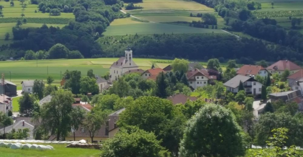
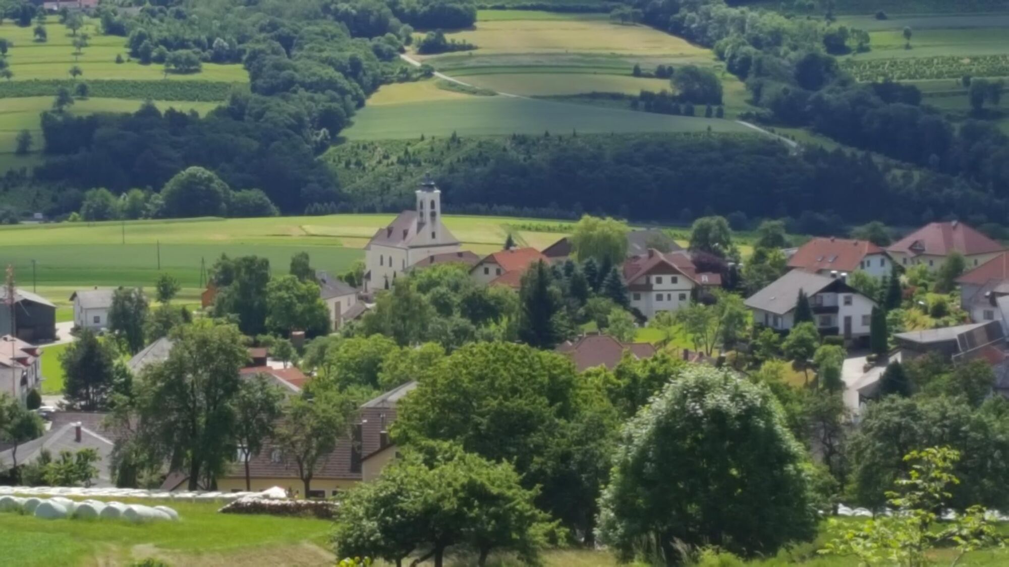
© Naturpark Jauerling-Wachau/Lambichler - Wachau Nibelungengau-Kremstal
© Naturpark Jauerling-Wachau/Lambichler - Wachau Nibelungengau-Kremstal

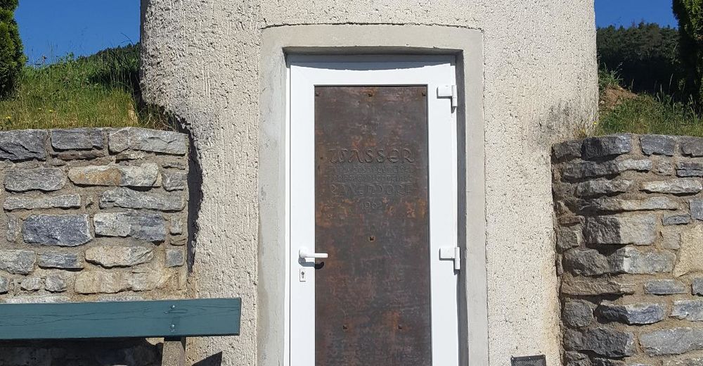
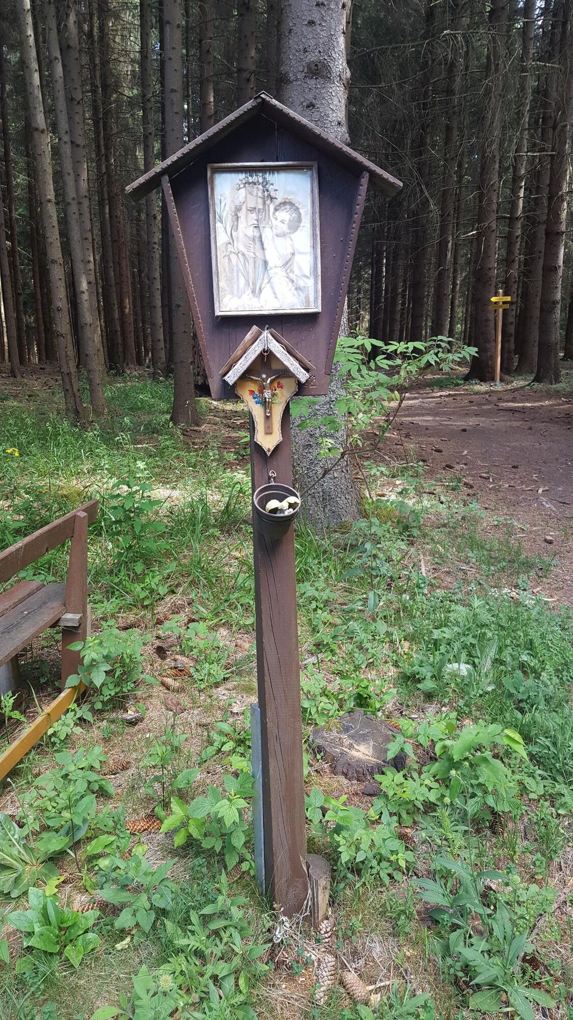
© Gemeinde Raxendorf

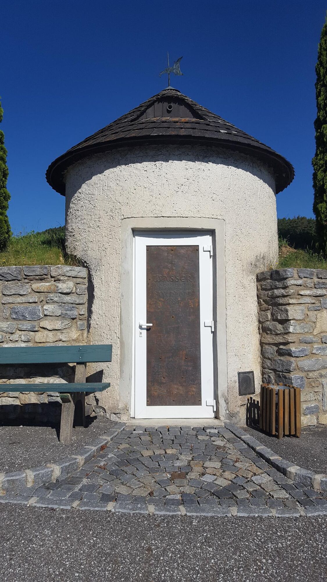
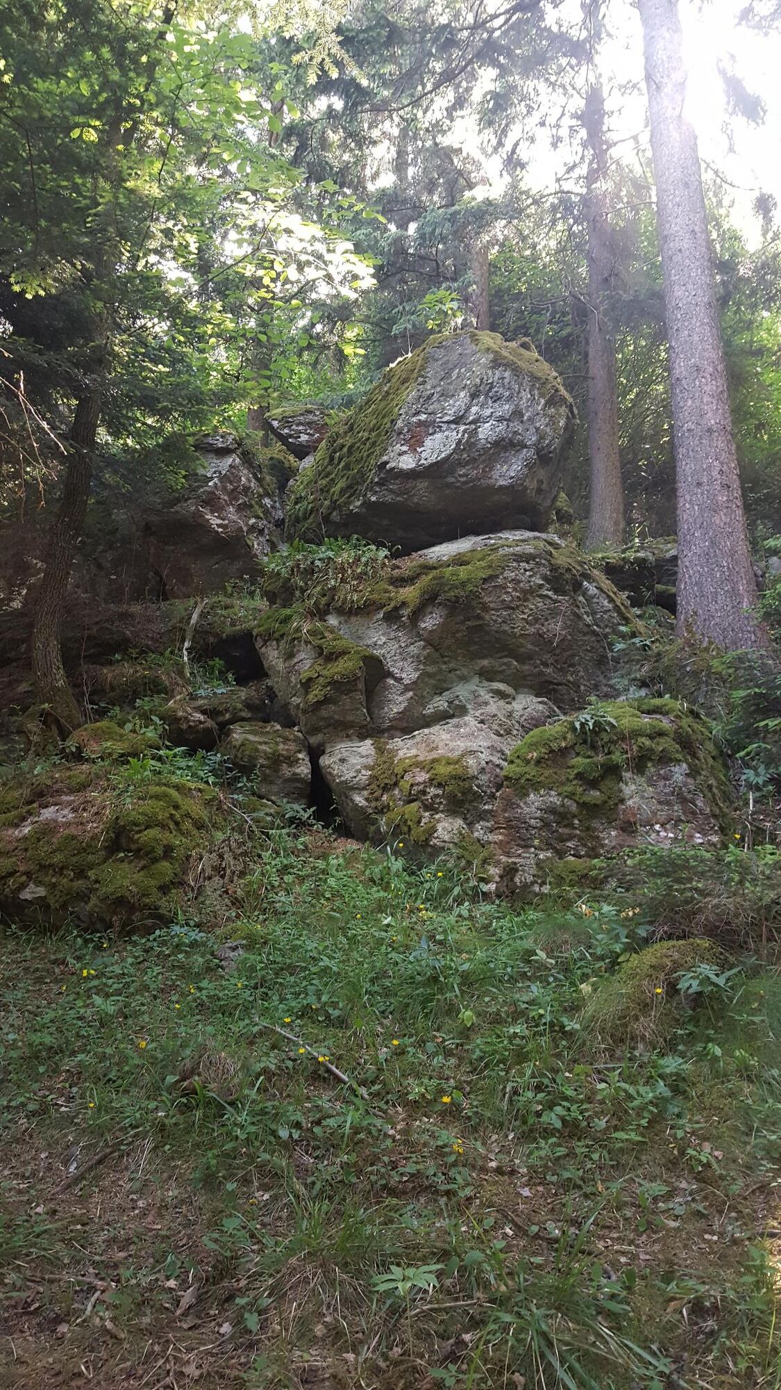
© Gemeinde Raxendorf

- Brief description
-
Eine Rundwanderung durch die idyllische Landschaft rund um Raxendorf mit einem Besuch bei der Kaiserhöhle.
- Difficulty
-
medium
- Rating
-
- Route
-
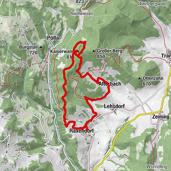
Raxendorf0.0 kmLehsdorf1.9 kmAfterbach2.2 kmKaiserhöhle4.6 kmKaiserwand (815 m)4.6 kmRaxendorf9.5 km
- Best season
-
JanFebMarAprMayJunJulAugSepOctNovDec
- Highest point
- 796 m
- Endpoint
-
Kirchenplatz Raxendorf
- Height profile
-

- Author
-
The tour Kaiserhöhlenweg is used by outdooractive.com provided.
GPS Downloads


General info
Cultural/Historical
Other tours in the regions
-
Donau Niederösterreich
2288
-
Wachau - Nibelungengau - Kremstal
1359
-
Raxendorf
361


