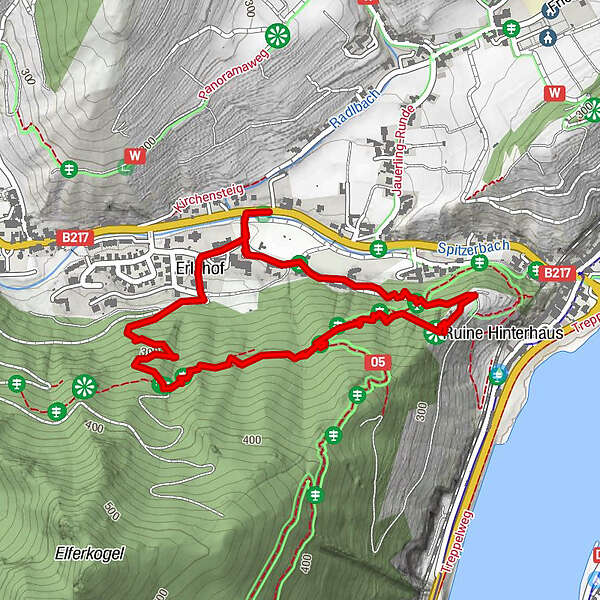
Tour data
2.45km
217 - 351m
Distance
145hm
158hm
Ascent
00:56h
 
Duration
Brief description

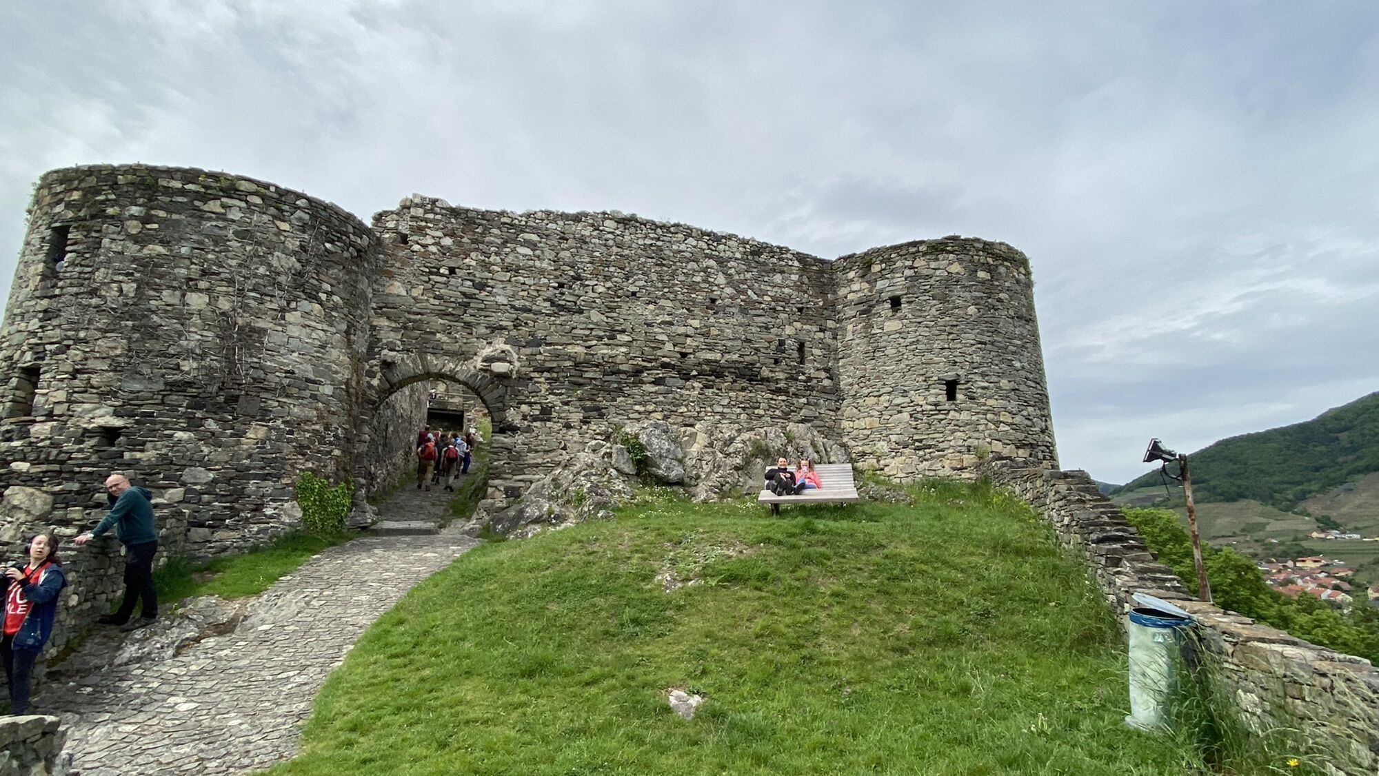
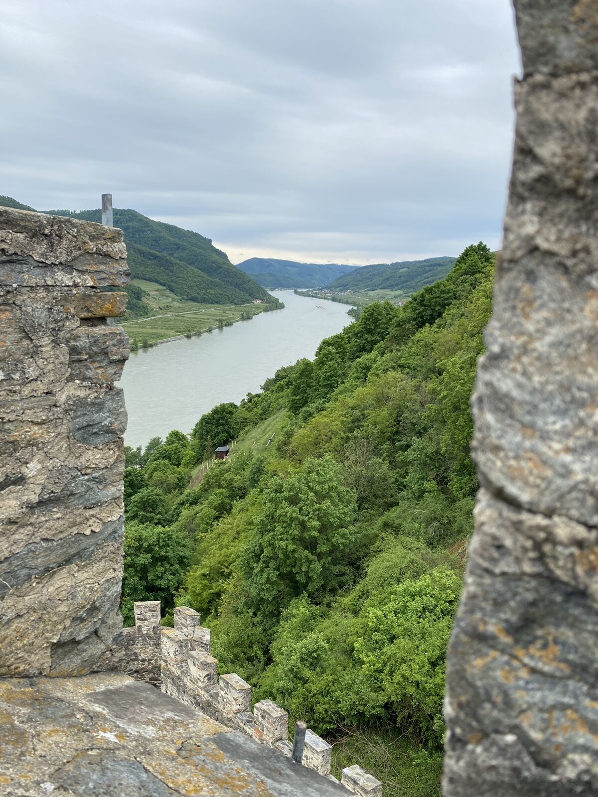
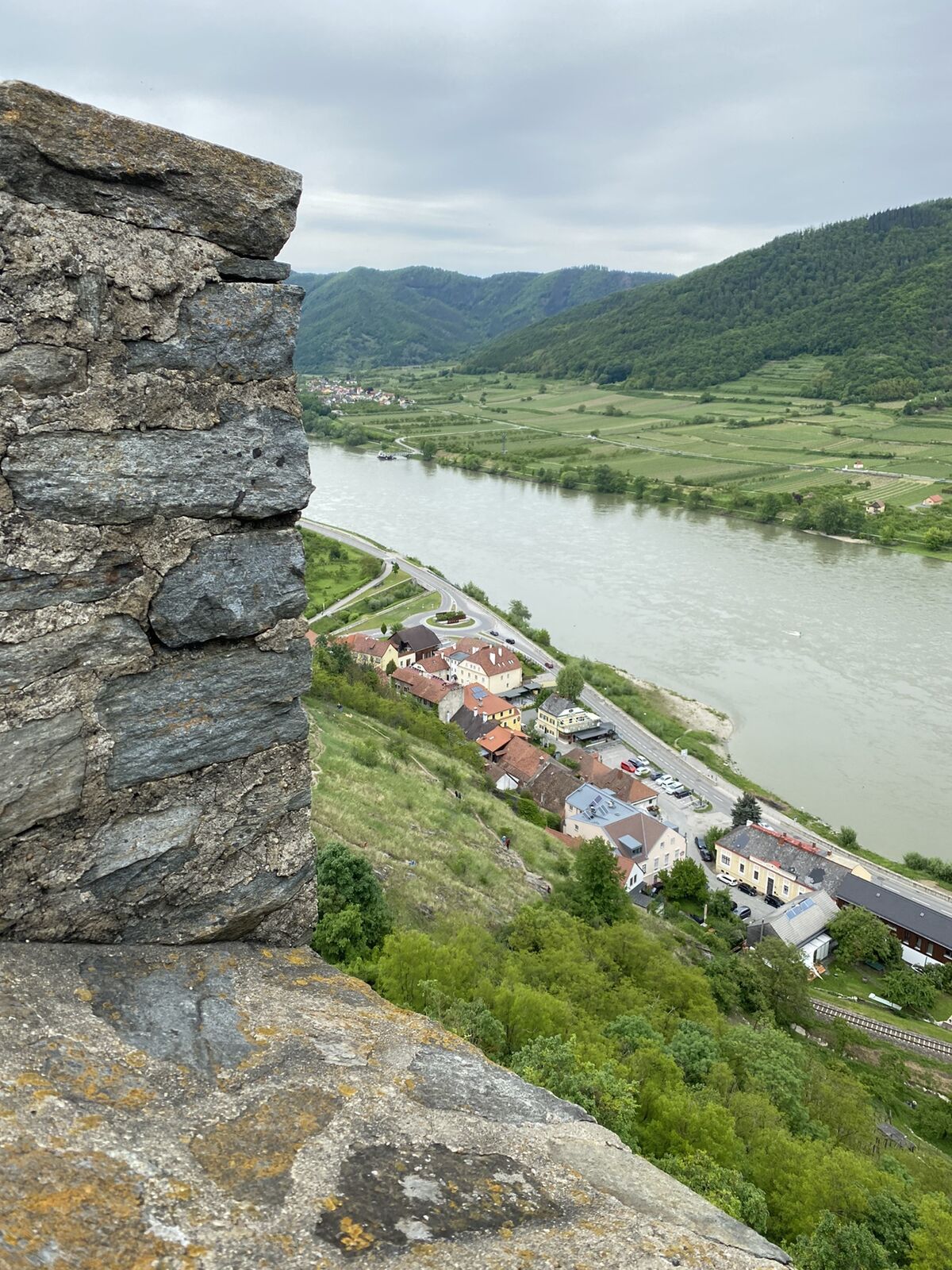
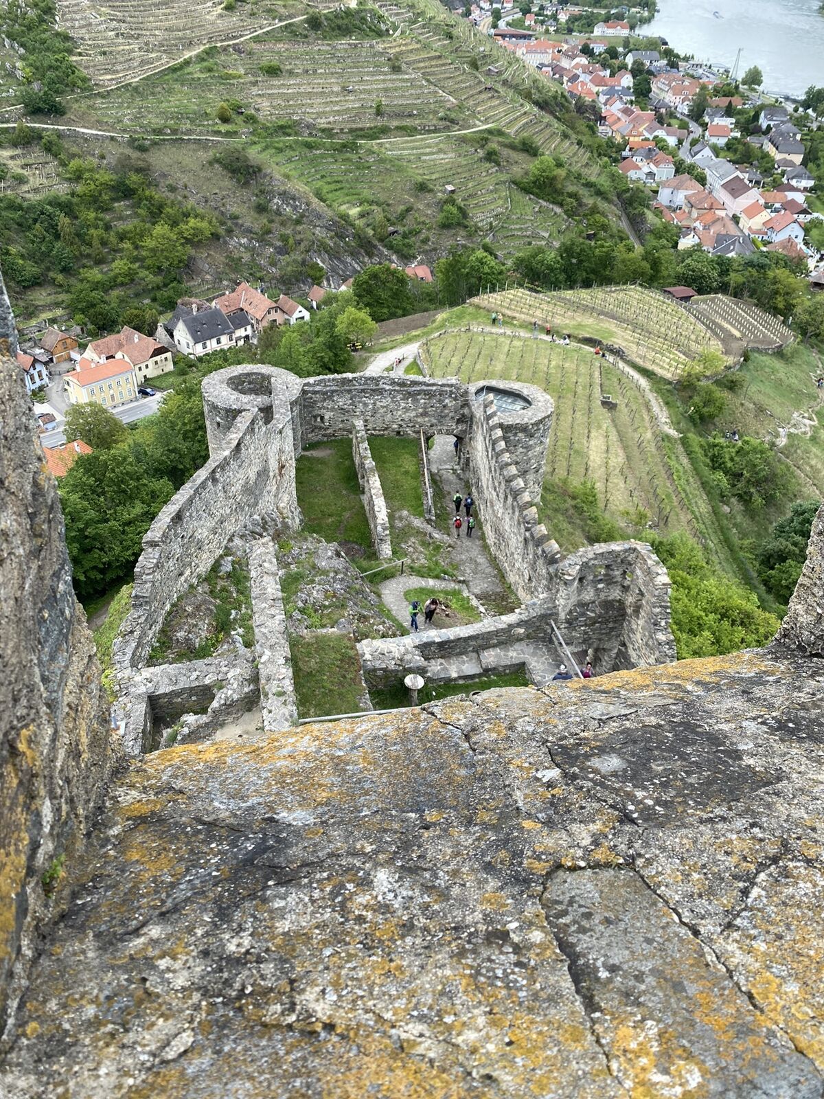
Von Erlahof auf die Ruine Hinterhaus

Difficulty
easy
Rating
Technique
Fitness
Landscape
Experience
Route
Spitz
0.6 km
Kreuzung Steirerhöh'
1.2 km
Siedlung Erlahof
2.1 km

Highest point
351 m

Overall rating

5

0

%

4

0

%

3

0

%

2

0

%

1

0

%

Error
An error has occurred. Please try again.
Thank you for your review

Rating has been deleted

GPS Downloads
  • GPX GPS Exchange Format (XML)
  • KML Google Earth, Google Maps
QR Download Codes for Mobile Phones

Popular tours in the area

Wine hiking trail Spitz

easy Hiking
4.32km | 140hm | 01:30h

Rote Wand und Hoher Stein

medium Hiking
7.8km | 600hm | 02:30h

Vogelbergsteig Dürnstein

medium Hiking
3.92km | 334hm | 02:30h