Tour data
12.26km
302
- 625m
484hm
484hm
02:35h
- Brief description
-
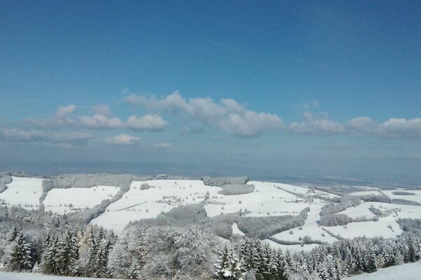
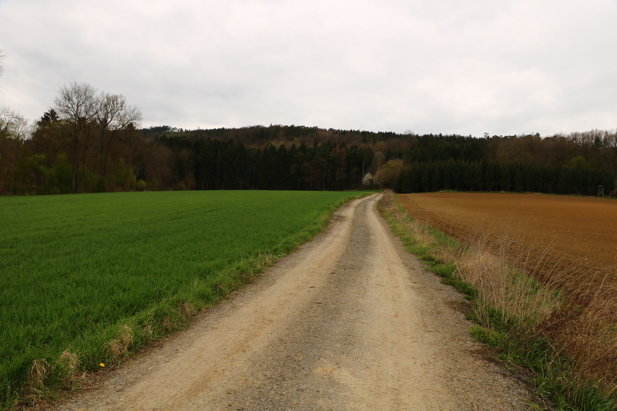
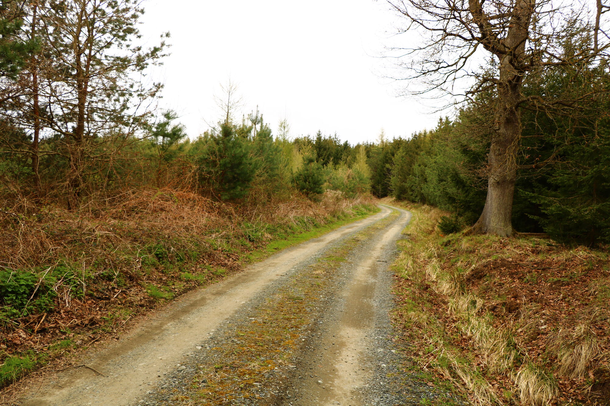
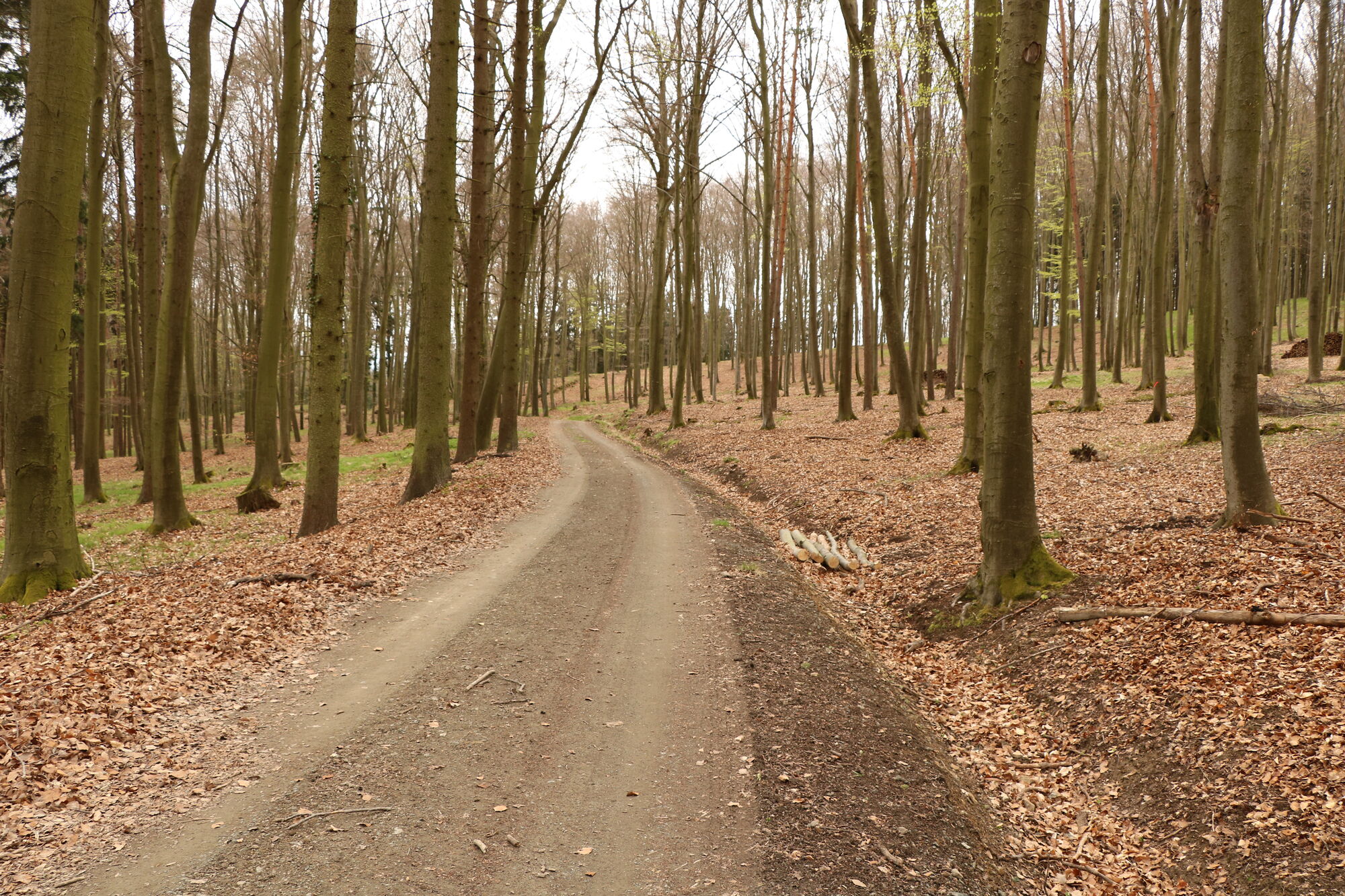
Gemütliche Runde hauptsächlich auf Forststraßen
- Difficulty
-
easy
- Rating
-
- Starting point
-
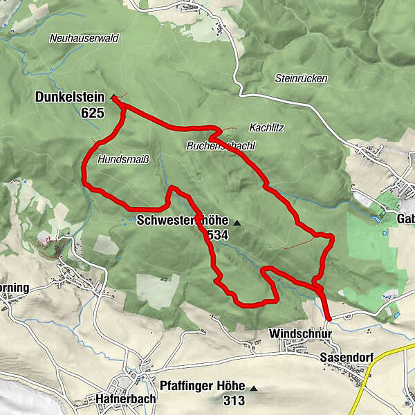
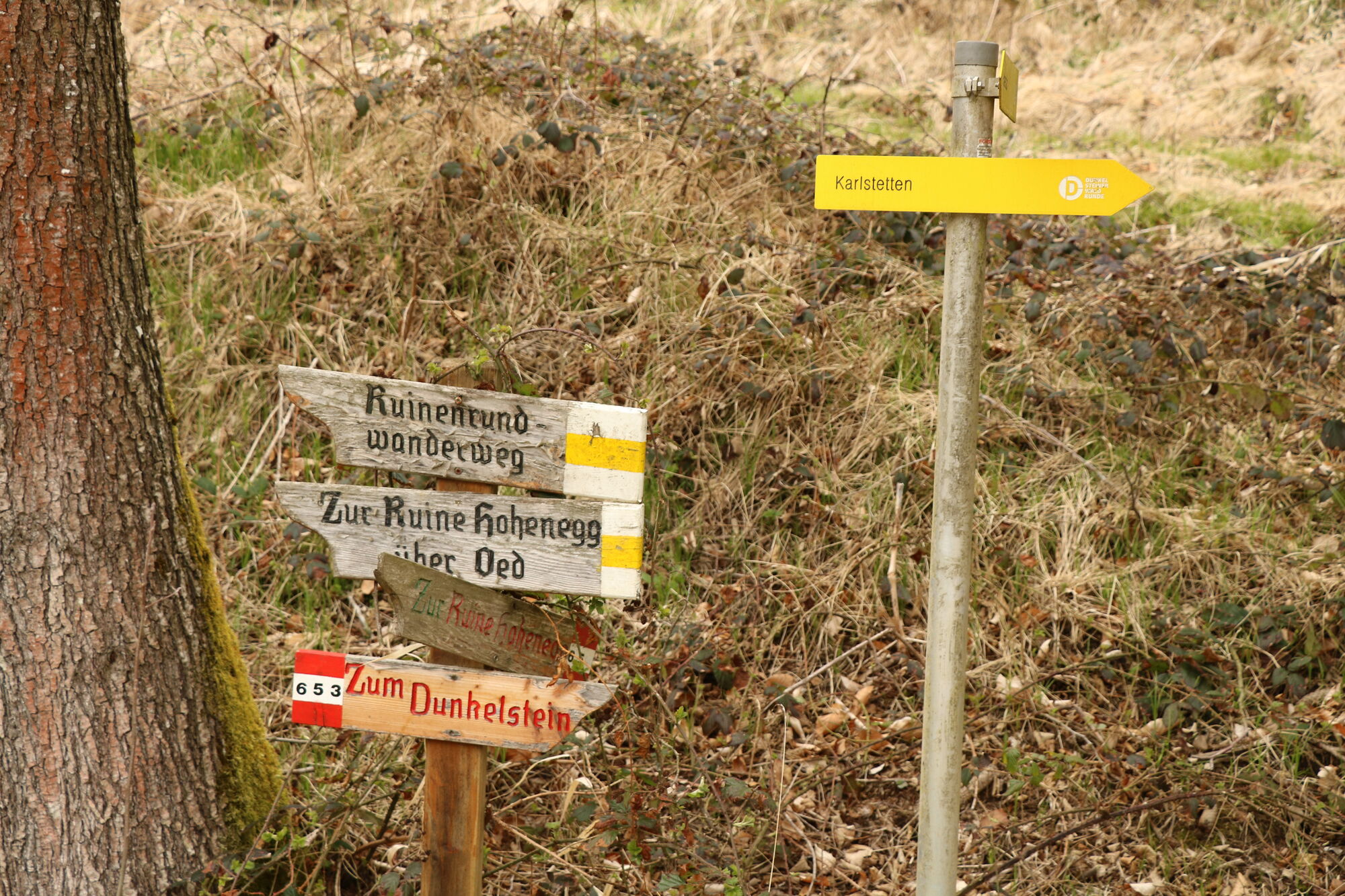
Windschnur
- Route
-
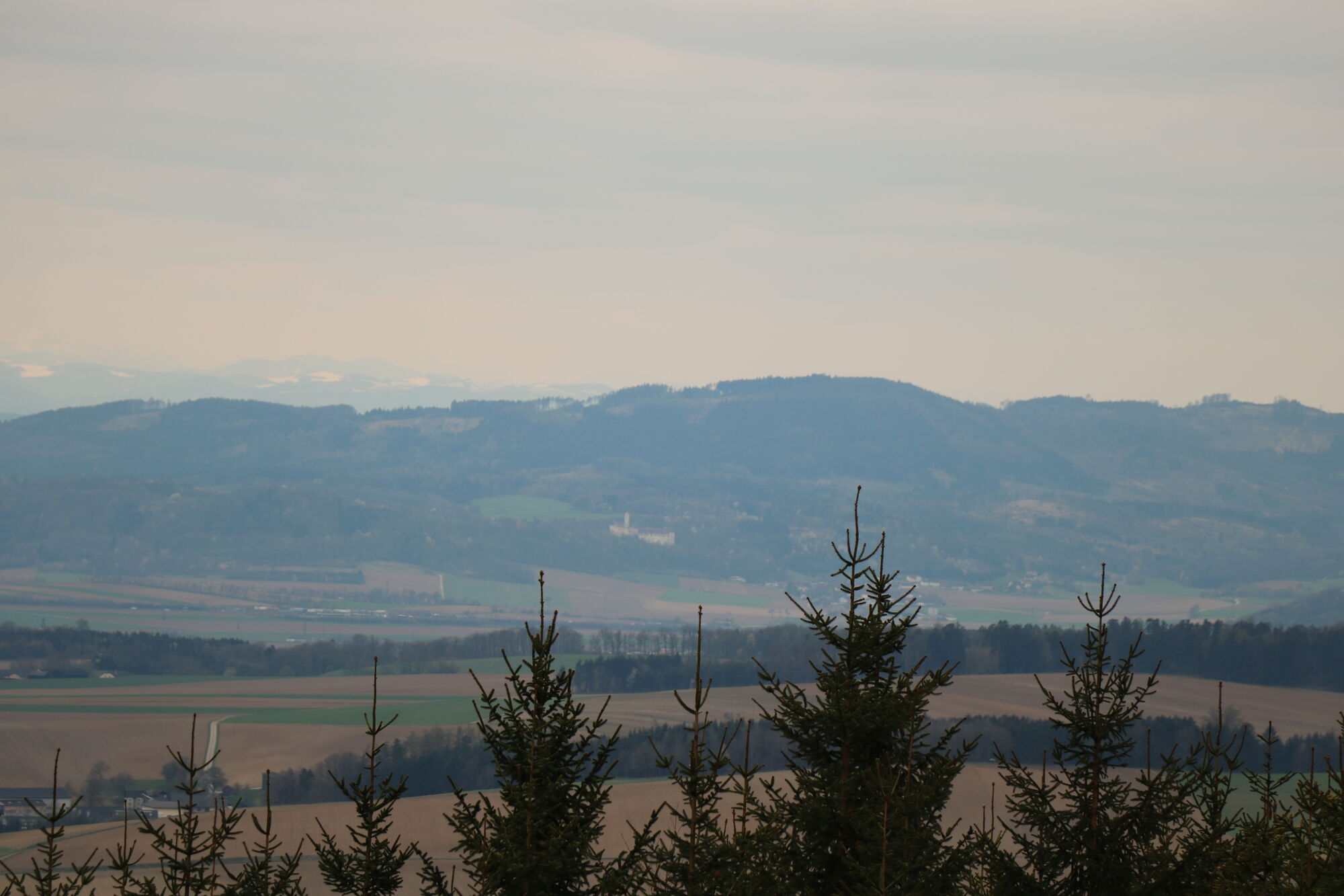
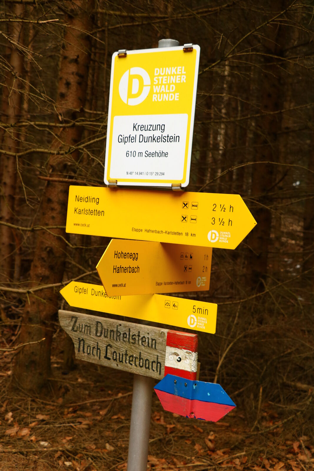
Windschnur0.0 kmDunkelstein (626 m)6.7 kmWindschnur11.6 km
- Best season
-
JanFebMarAprMayJunJulAugSepOctNovDec
- Highest point
- 625 m
- Endpoint
-
Windschnur
- Rest/Retreat
-
Bankerl sind am Weg vorhanden.

- Link
- oberegger@kabsi.at
- Source
- Franz Oberegger / Melk
GPS Downloads


Trail conditions
Asphalt
Gravel
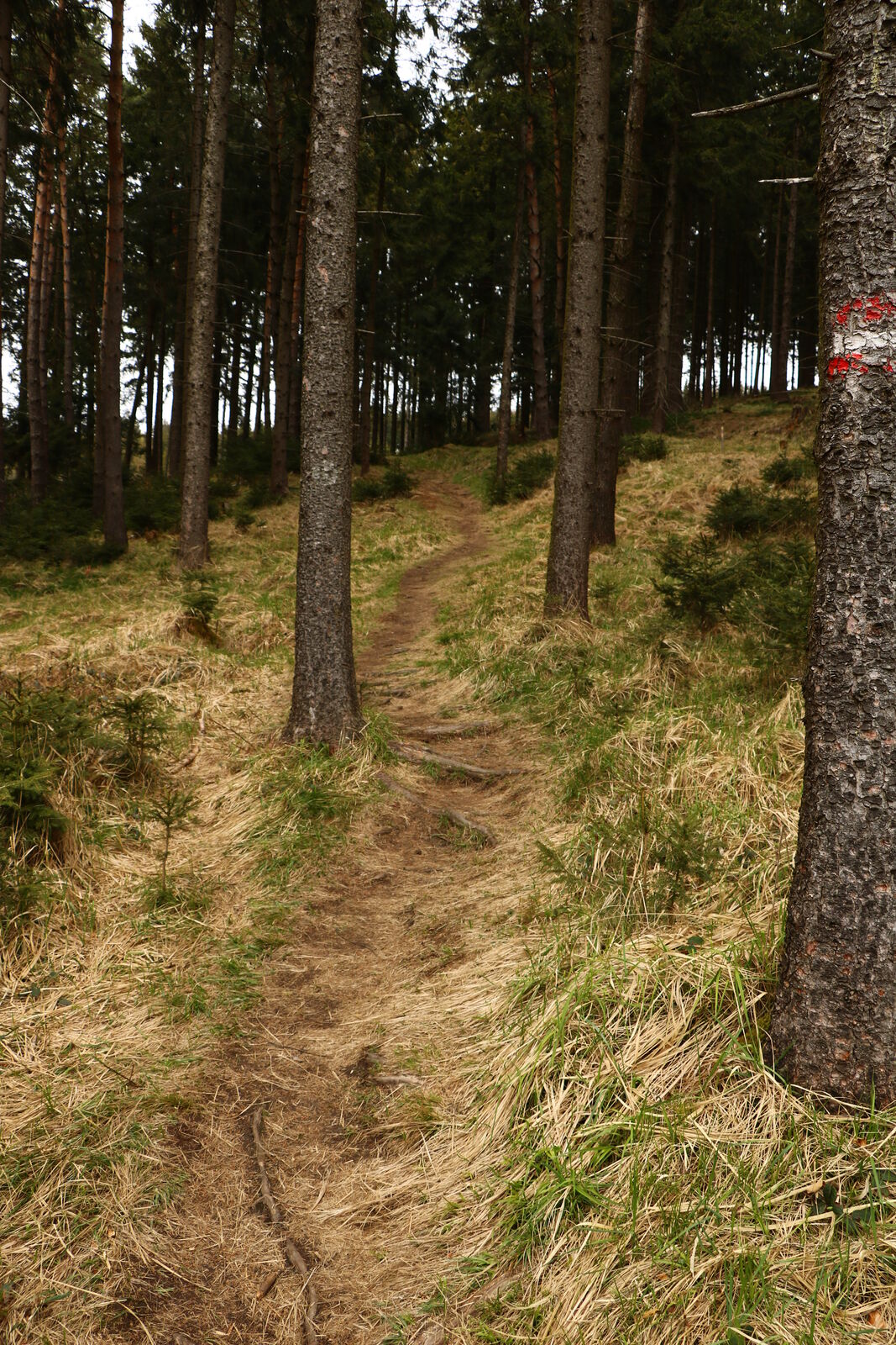
Meadow
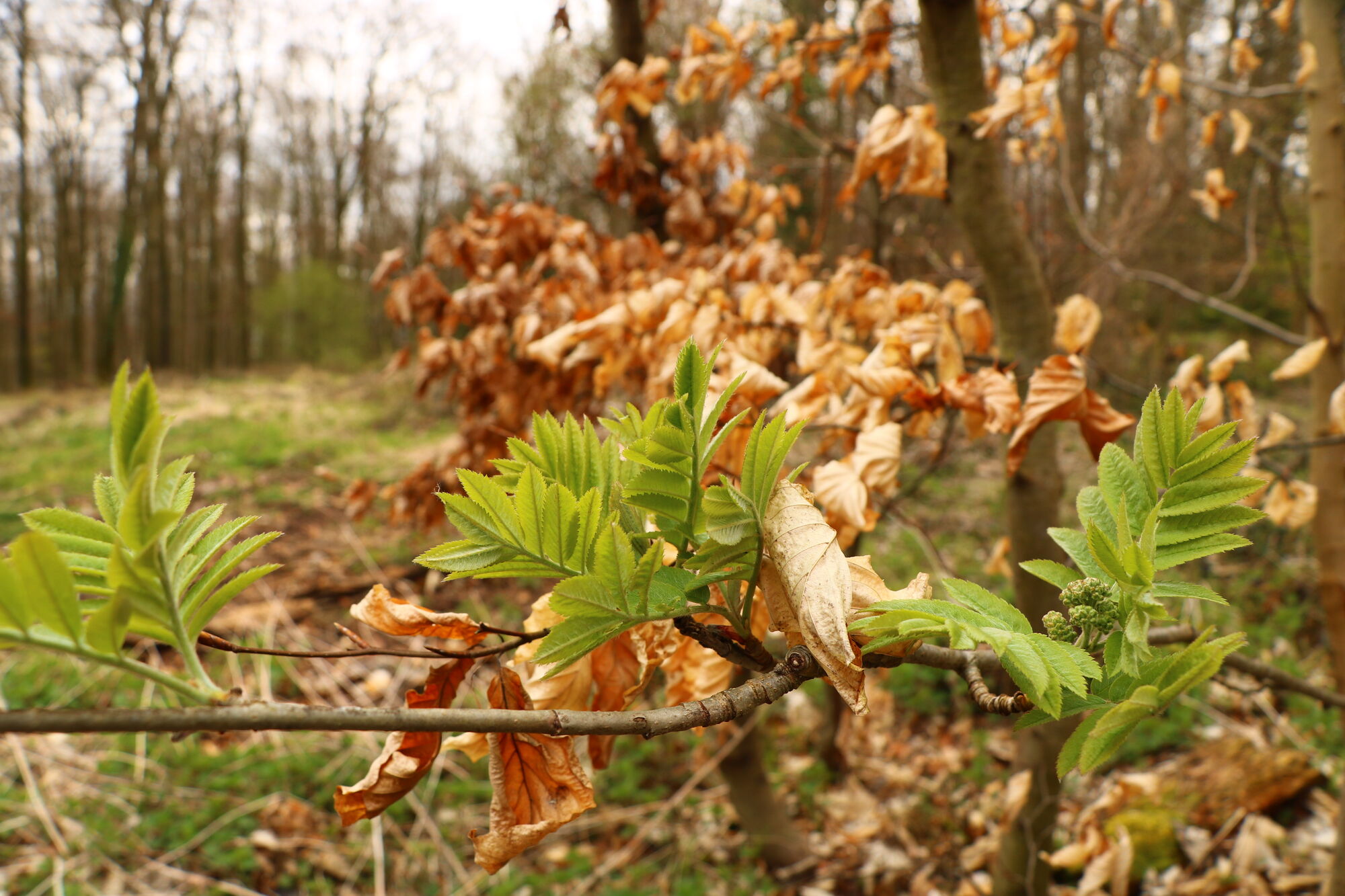
Forest
Rock
Exposed
Other tours in the regions
-
Donau Niederösterreich
2289
-
Dunkelsteinerwald
1373
-
Hafnerbach
183