

Tour data
6.09km
207
- 392m
180hm
169hm
02:00h
- Brief description
-
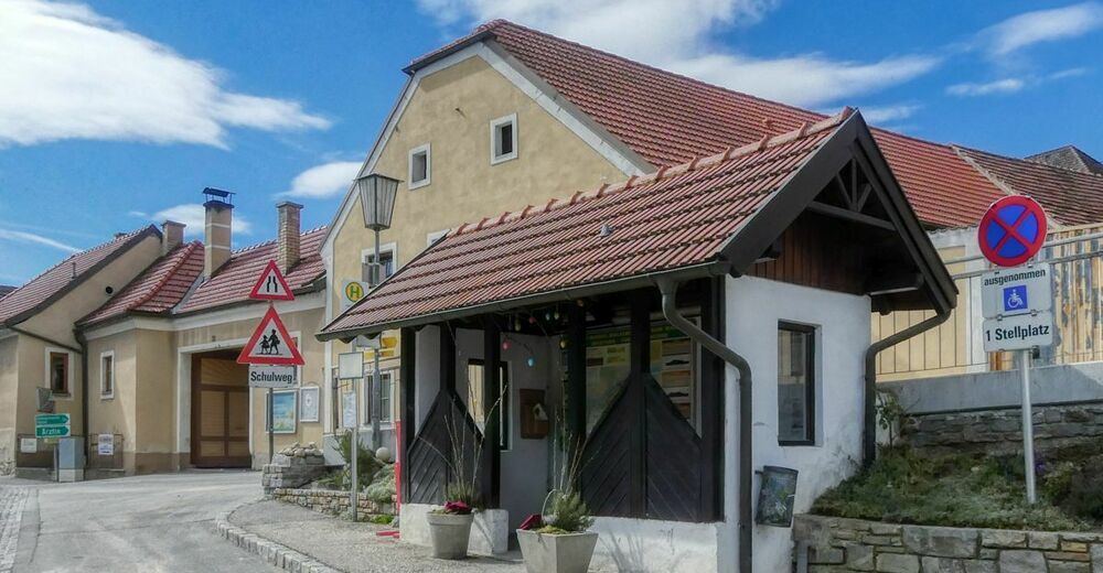
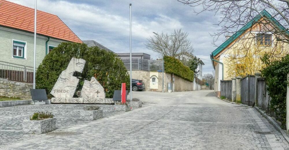
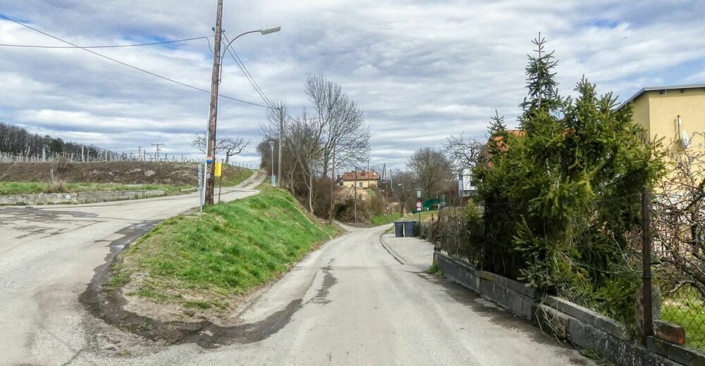
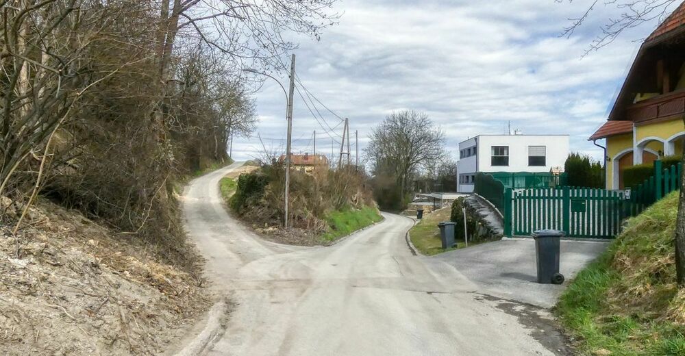
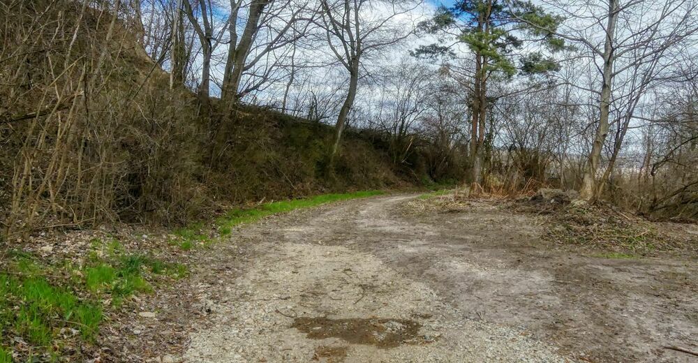
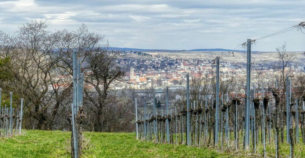
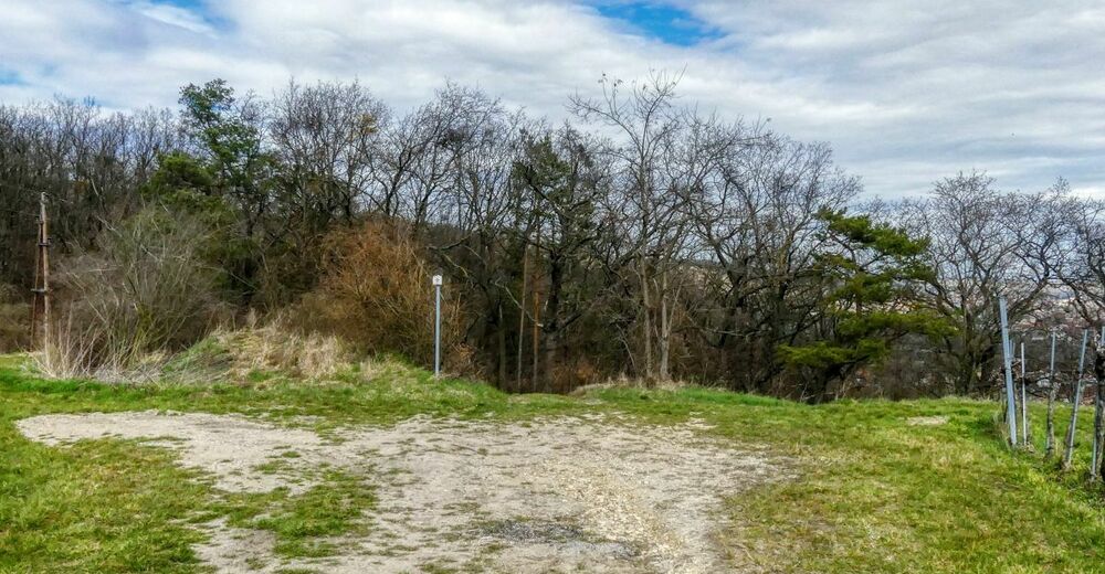
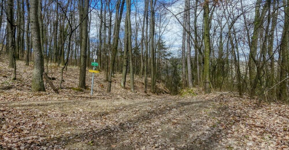
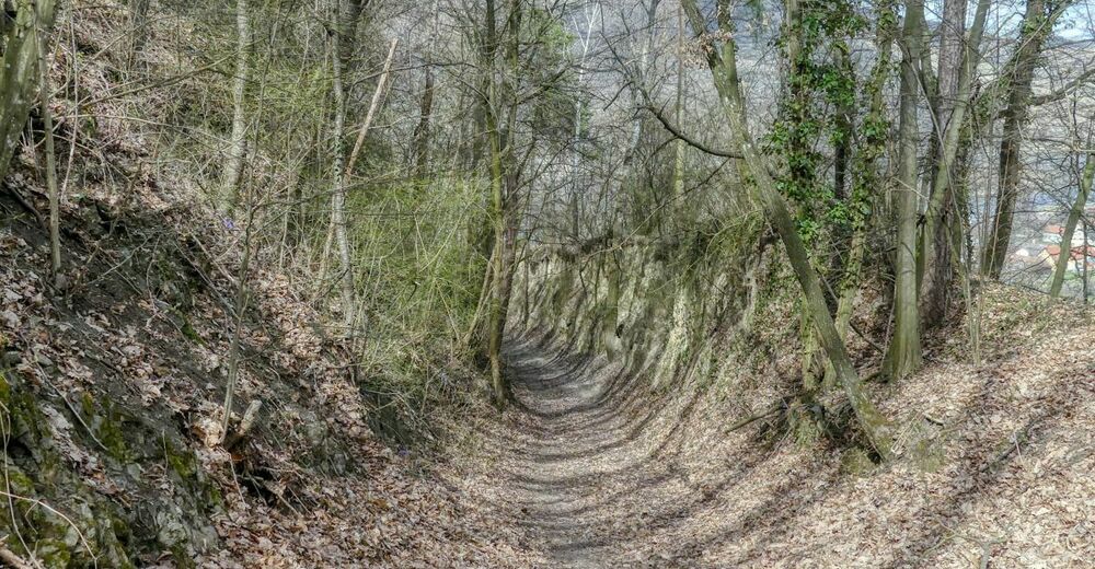
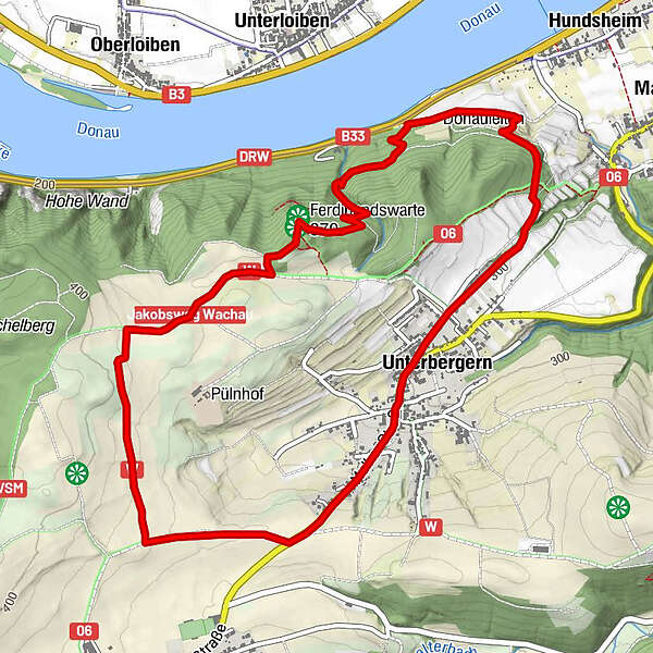
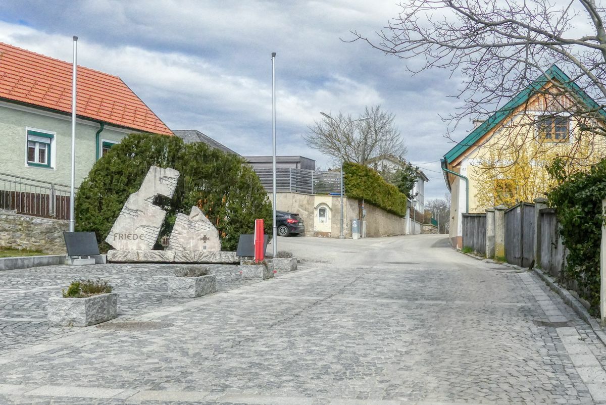
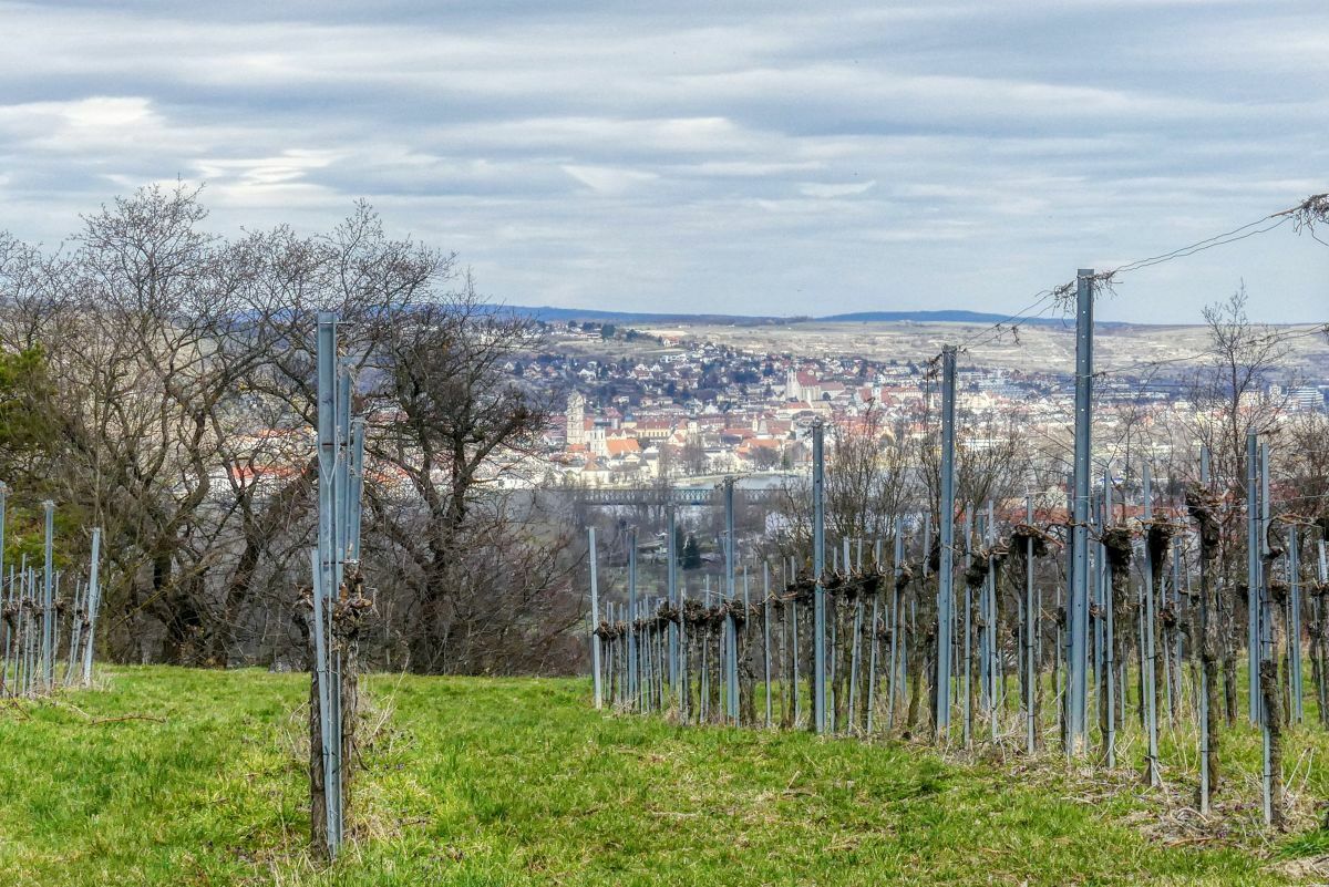
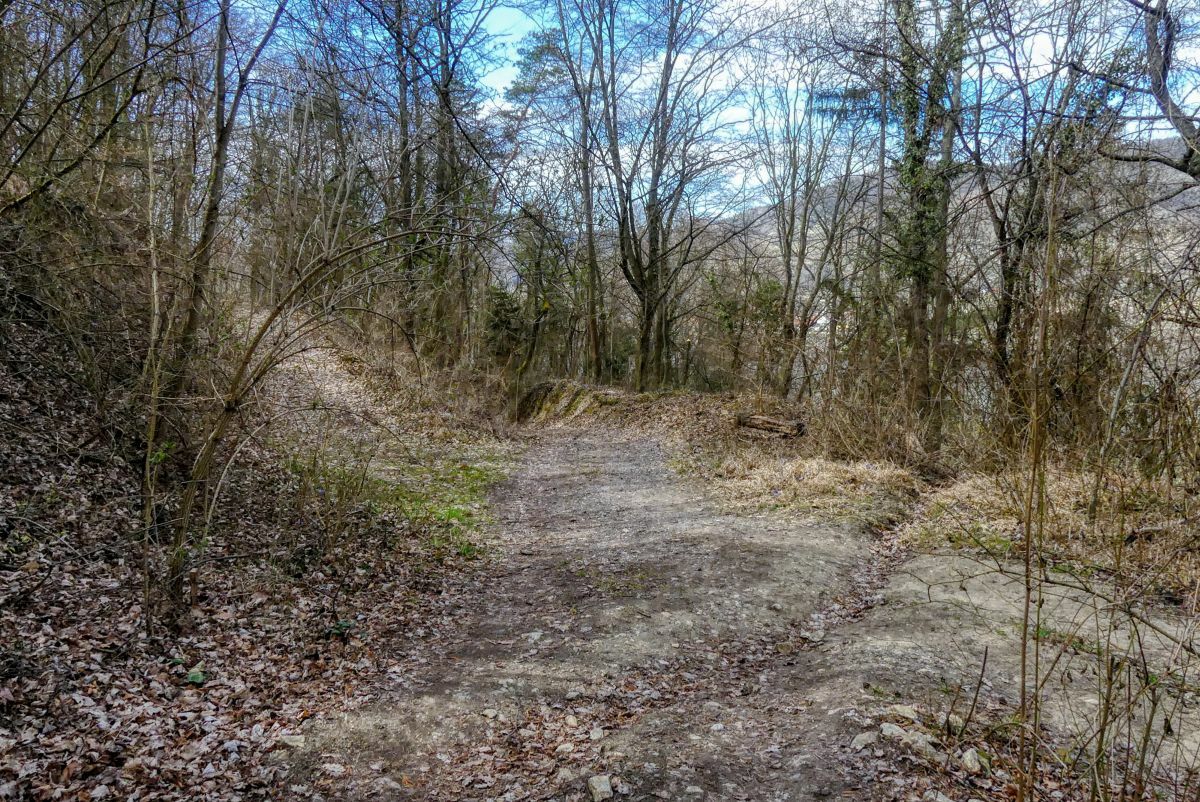
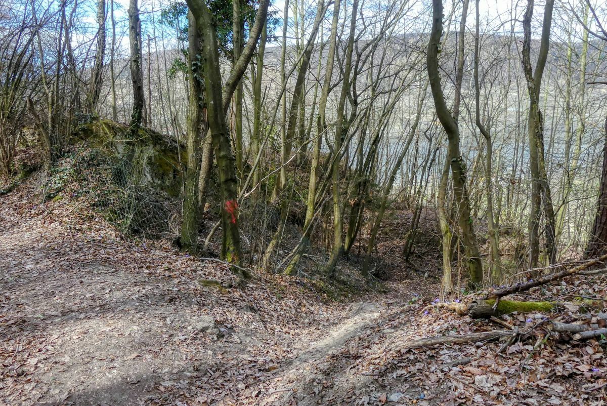
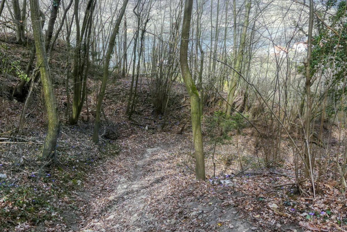
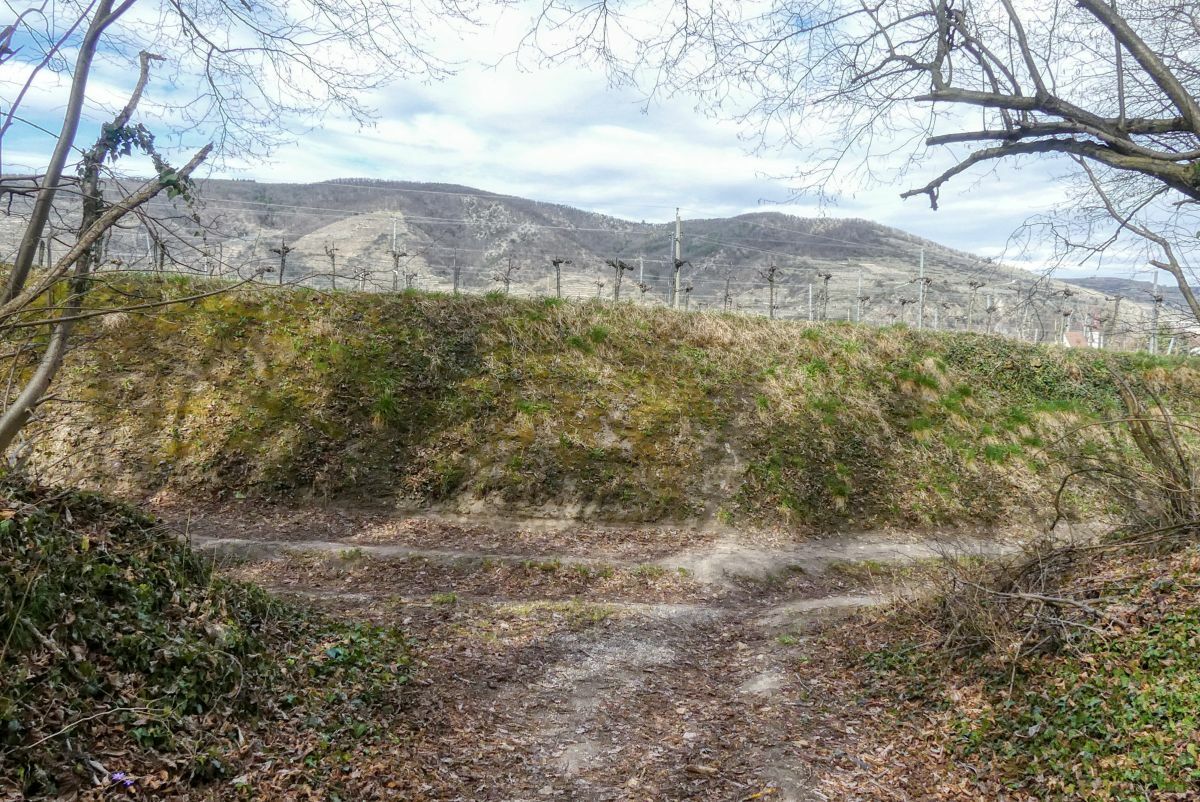
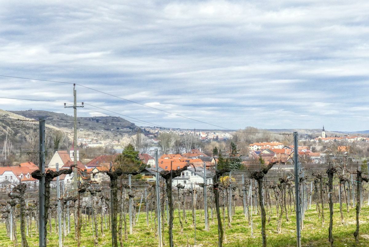
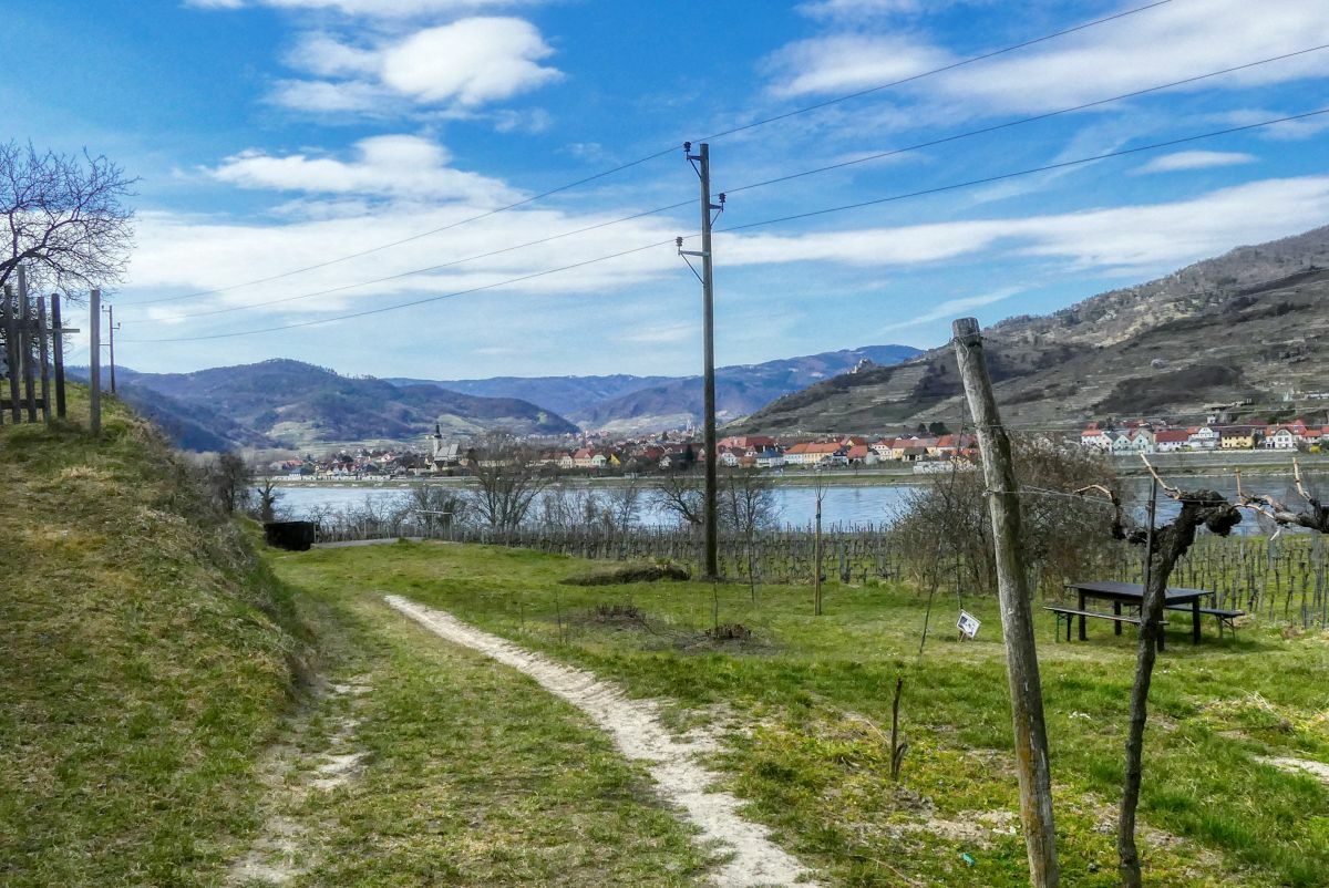
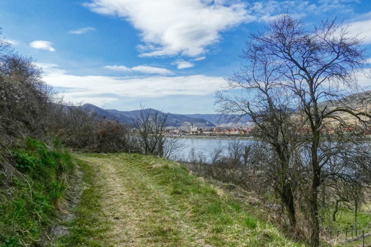
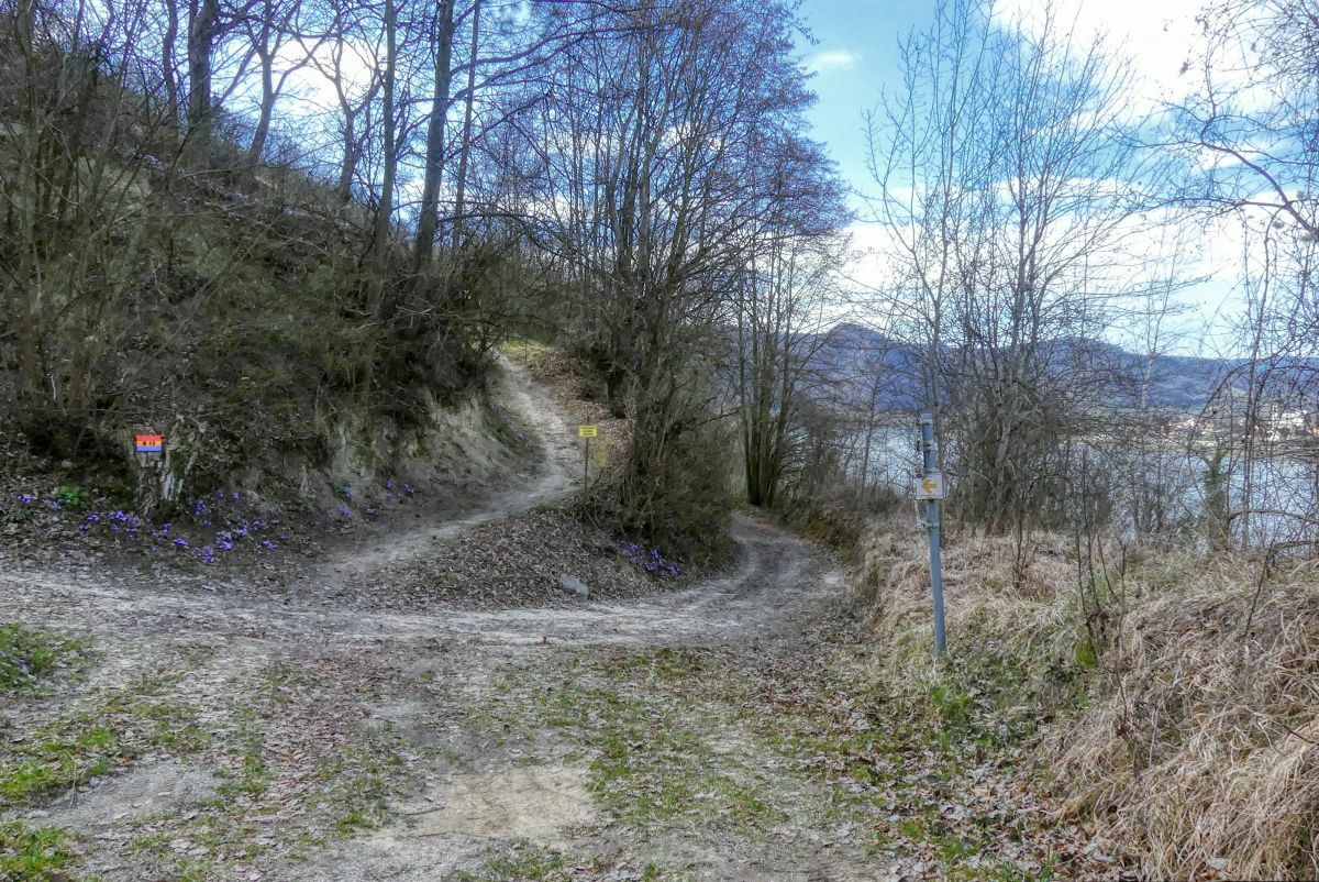
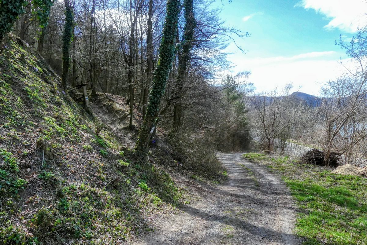
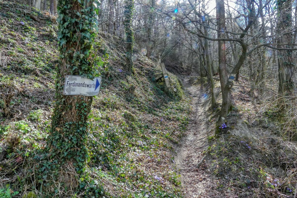
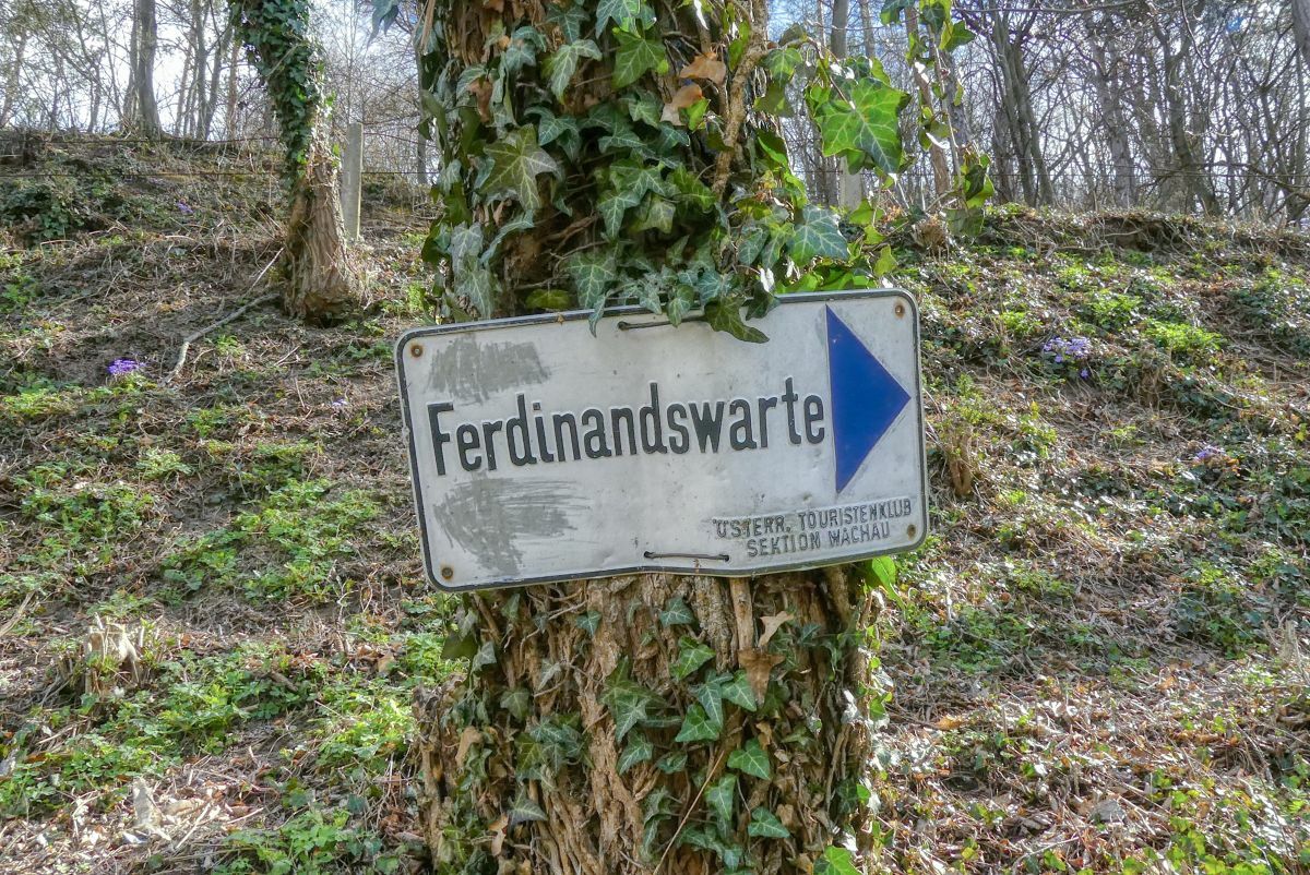
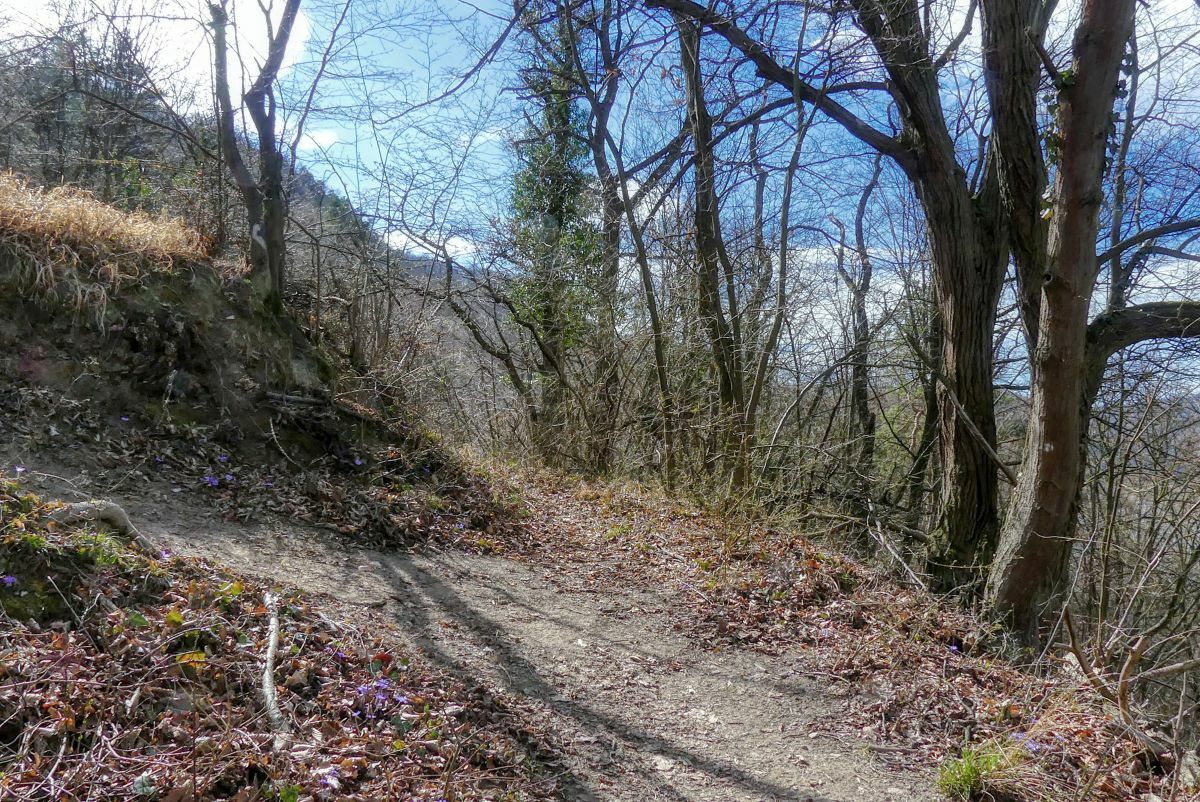
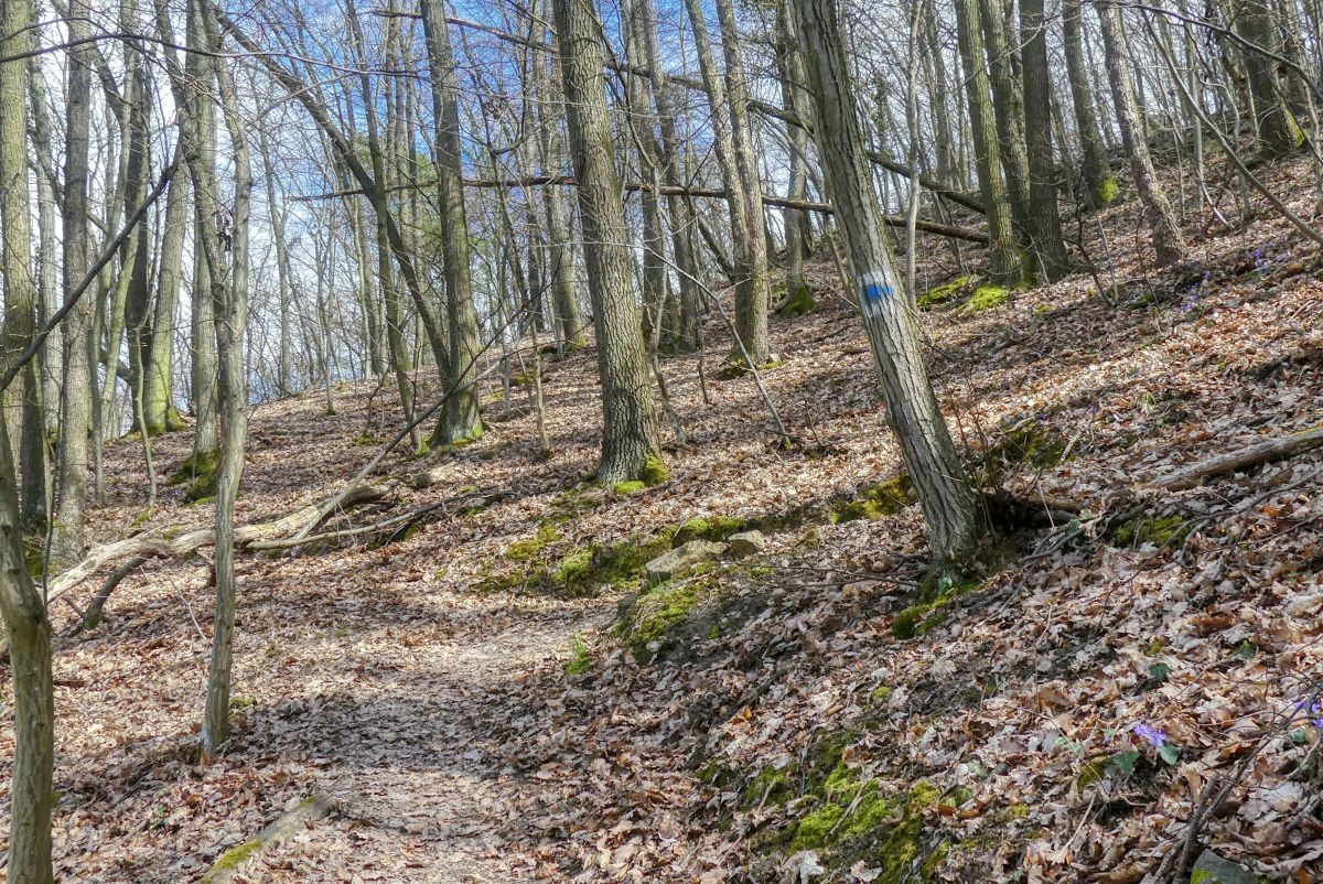
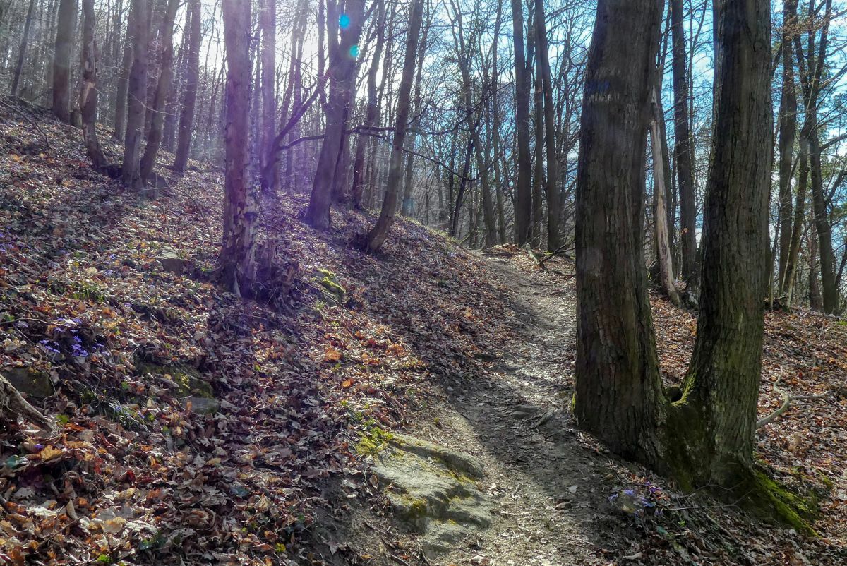
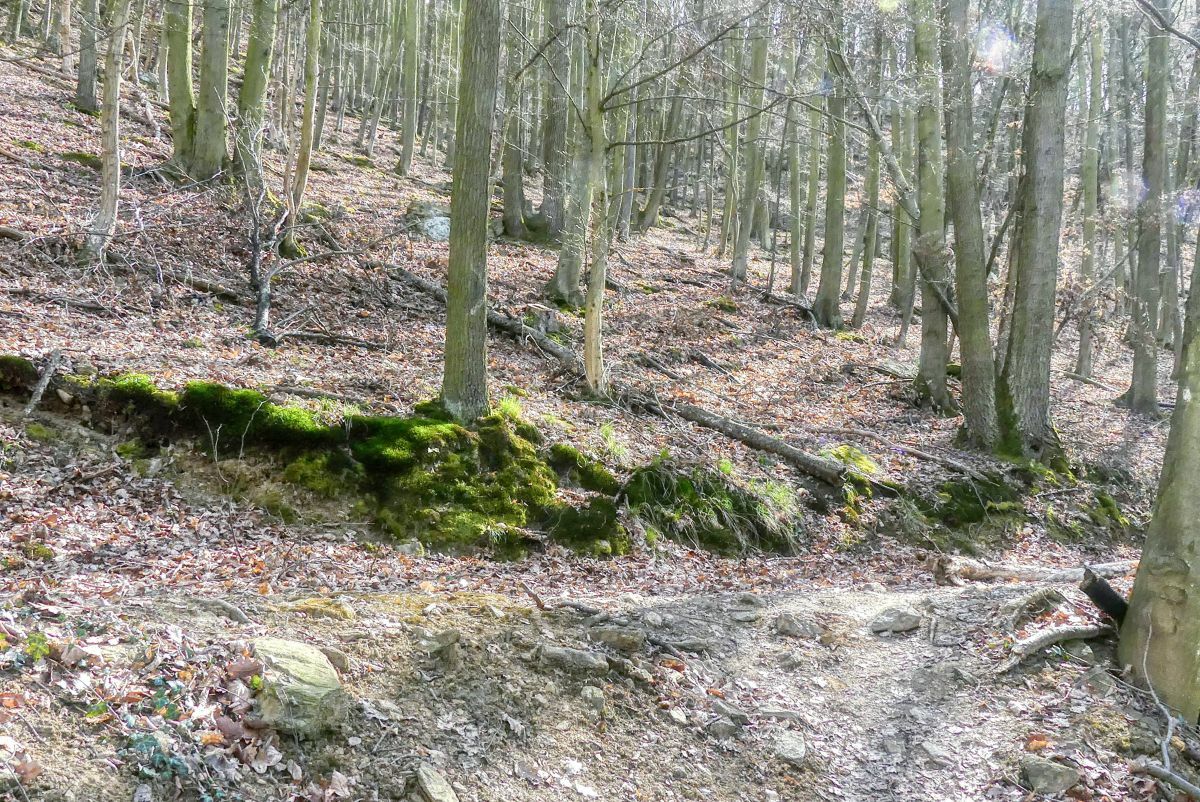
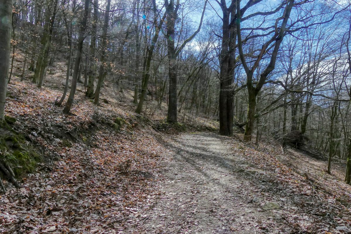
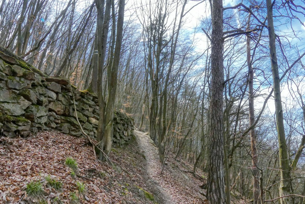
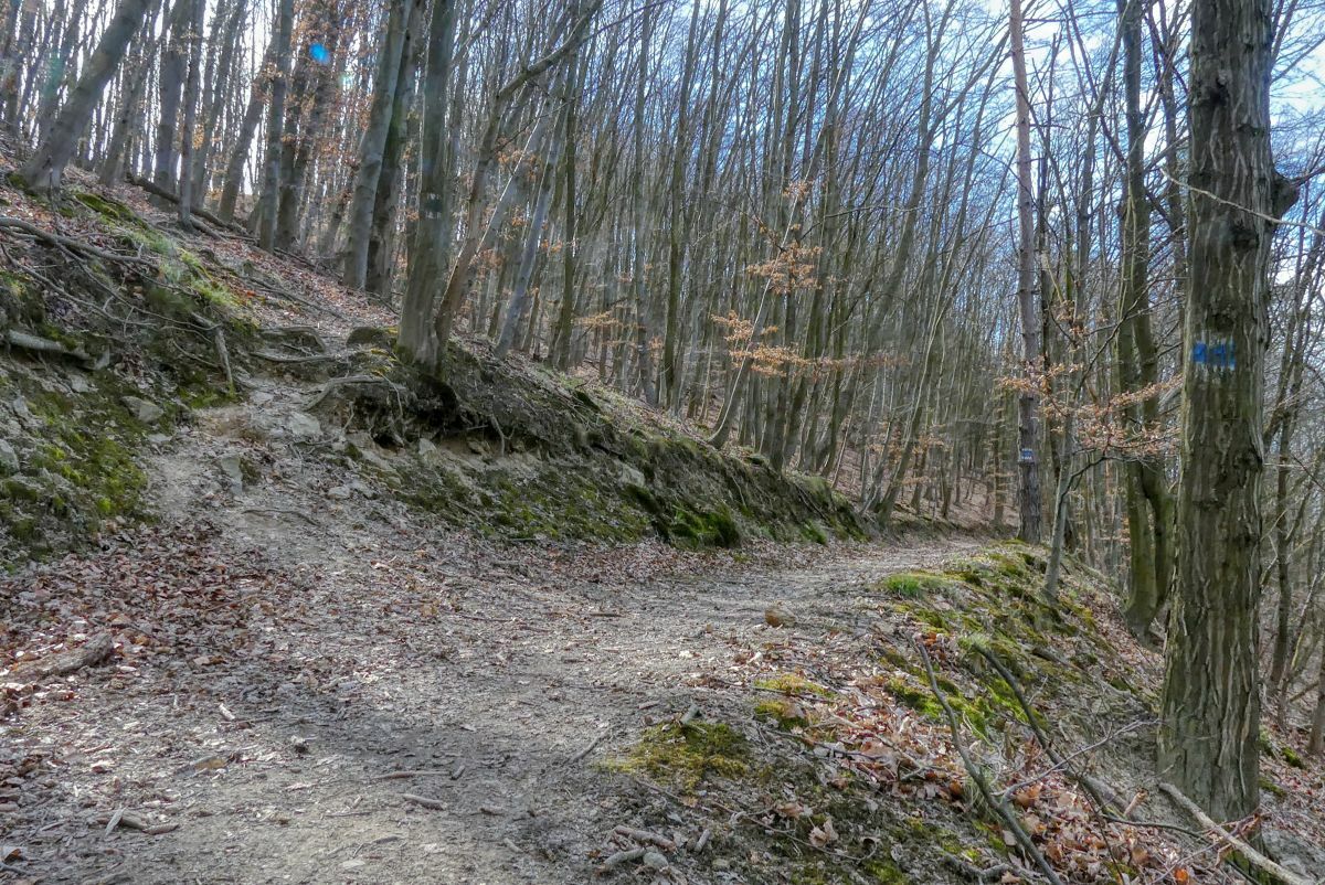
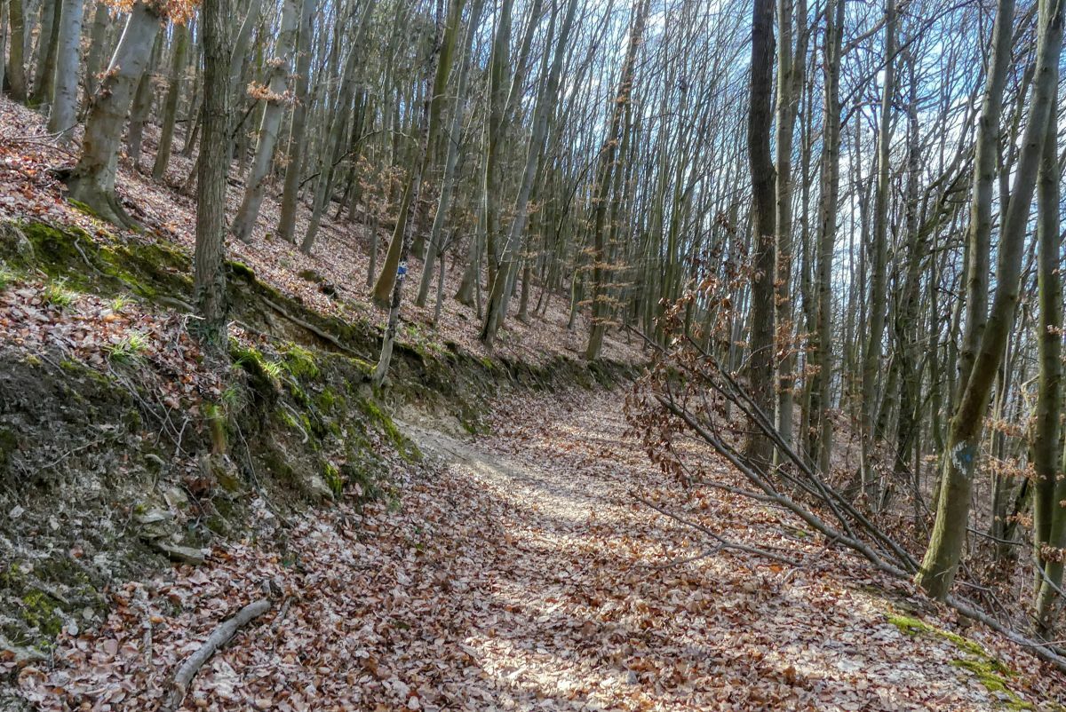
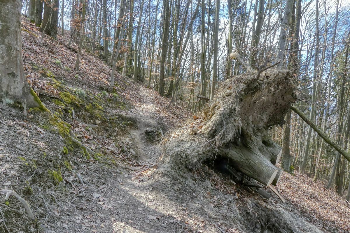
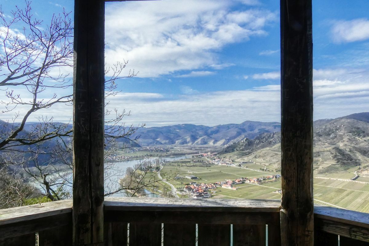
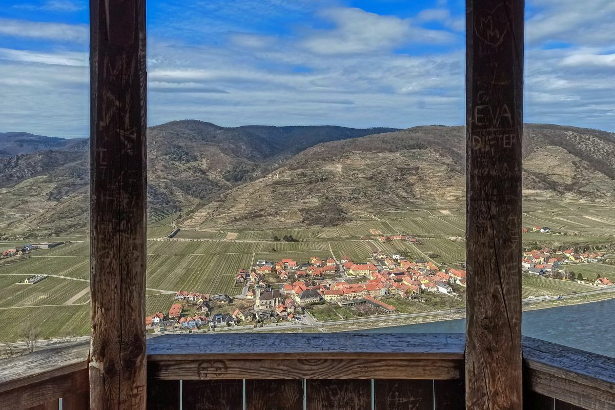
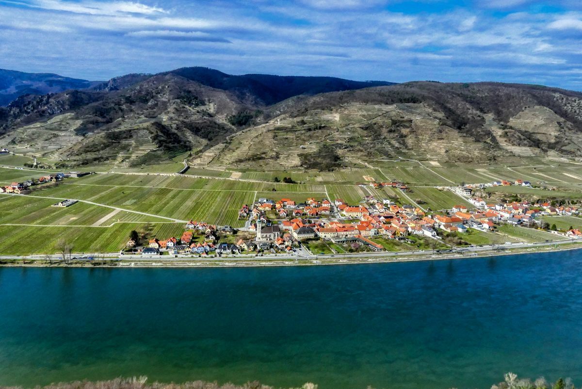
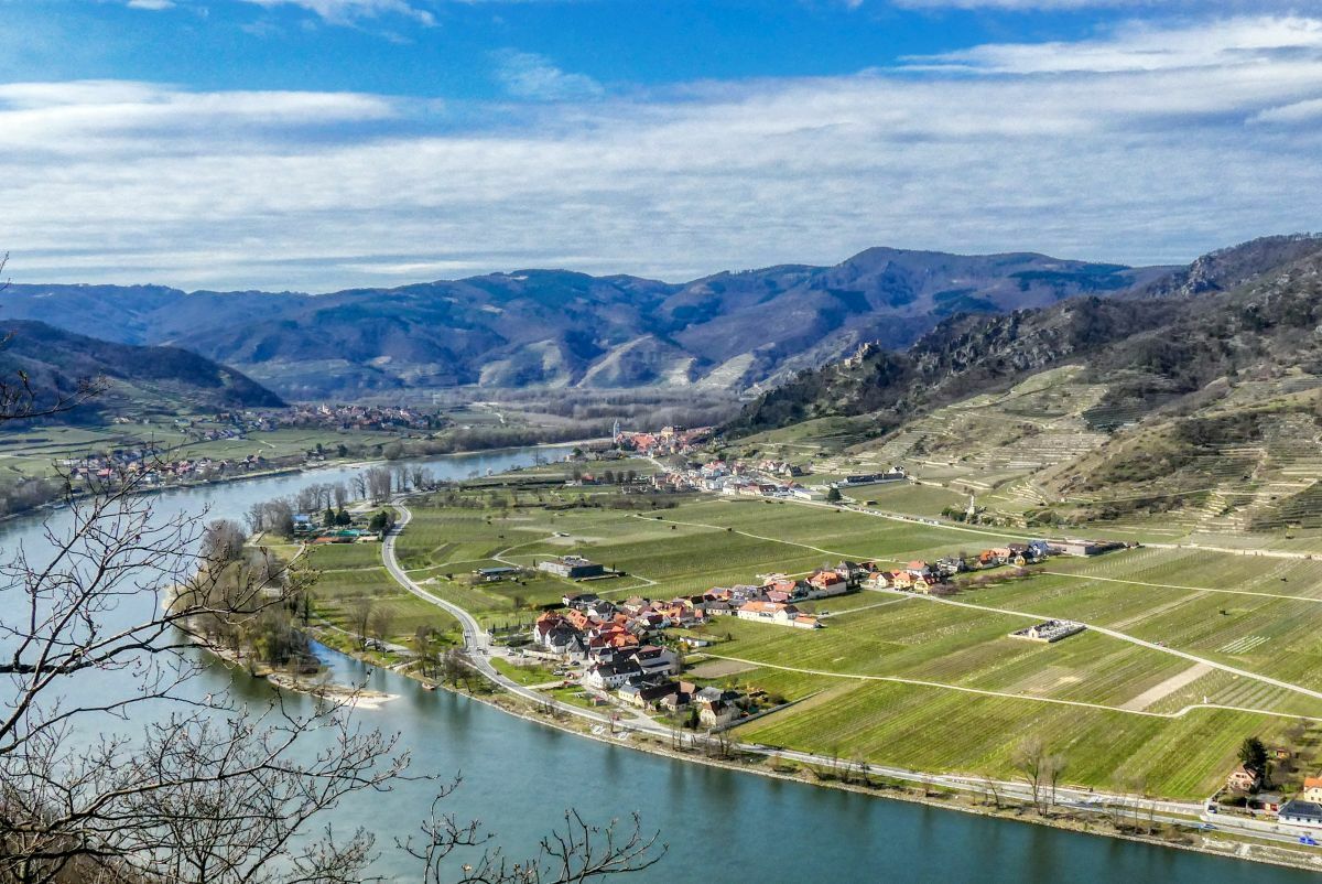
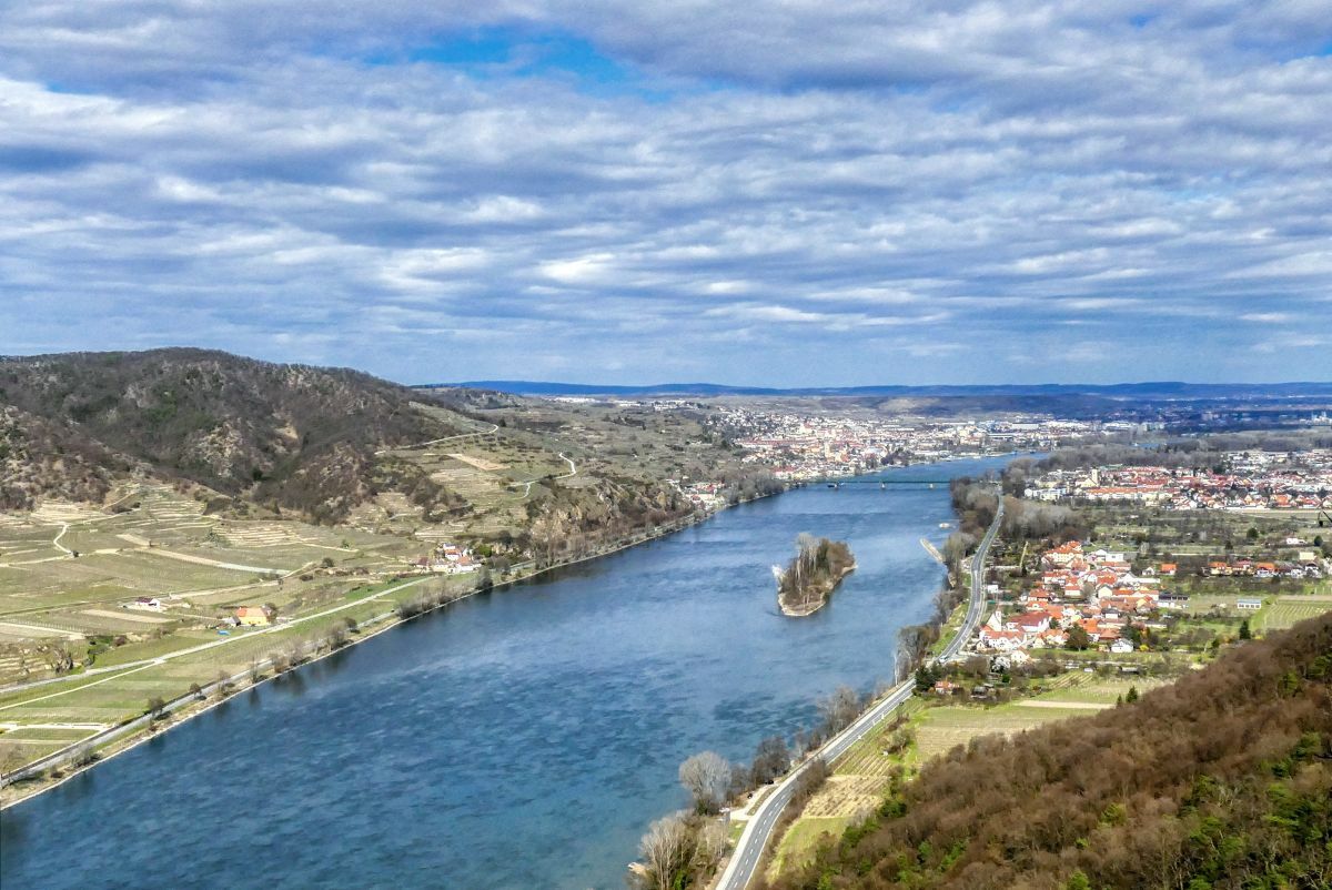
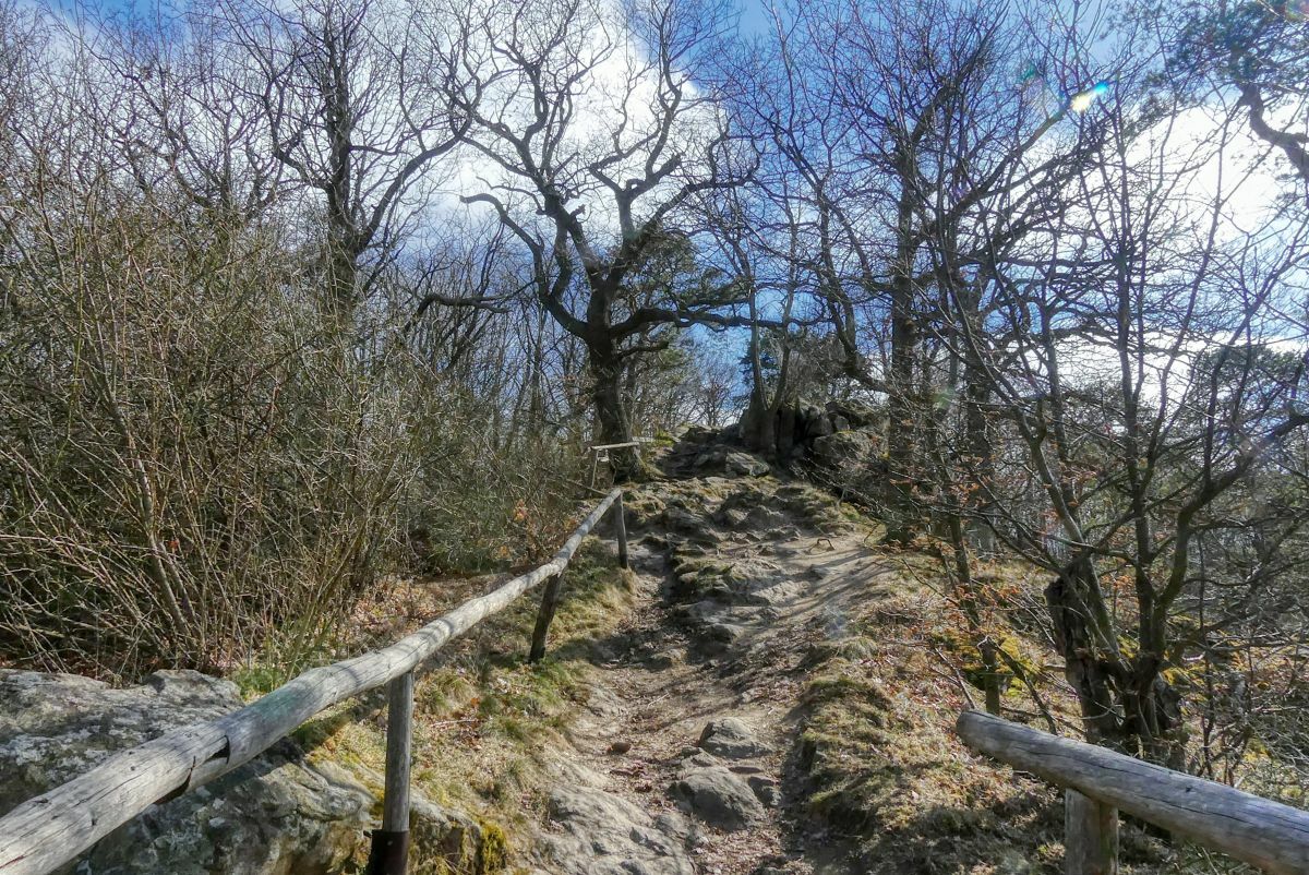
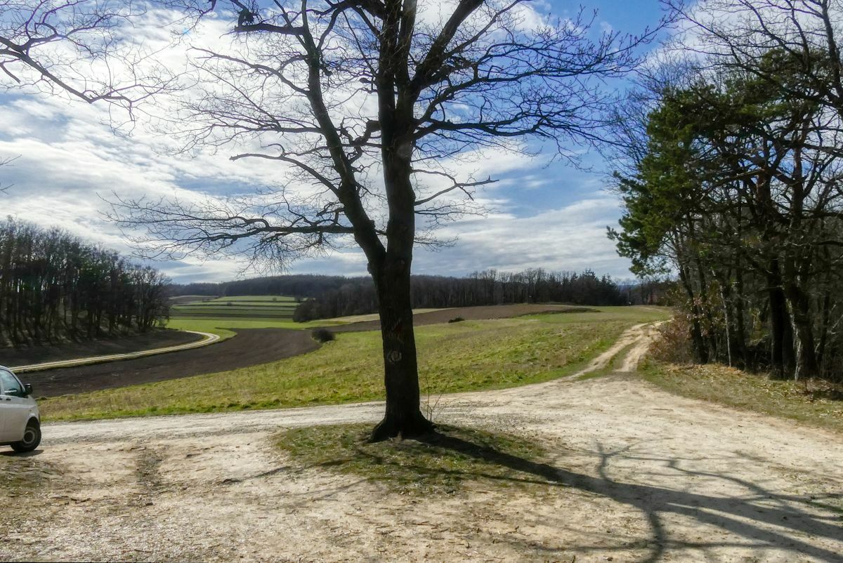
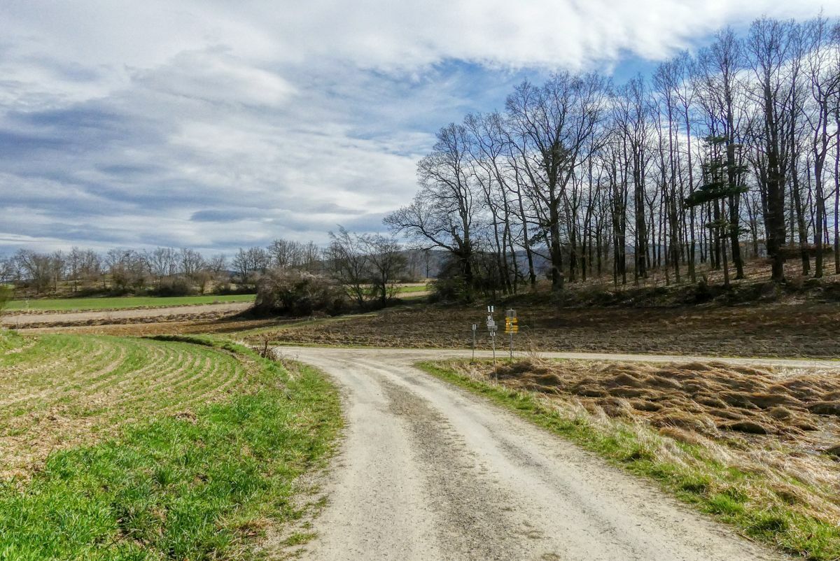
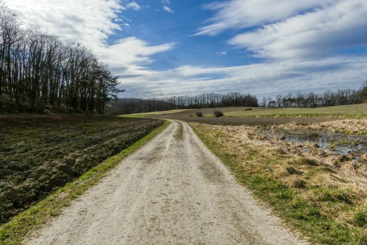
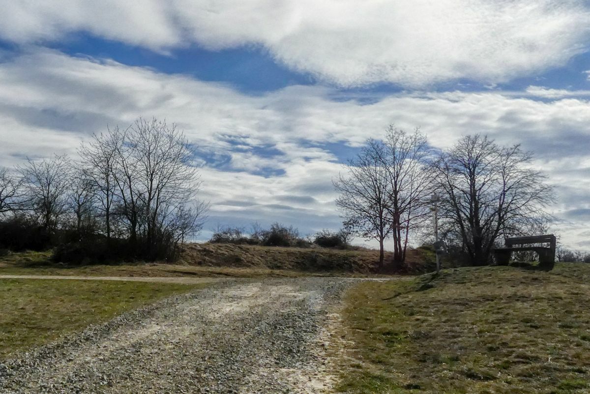
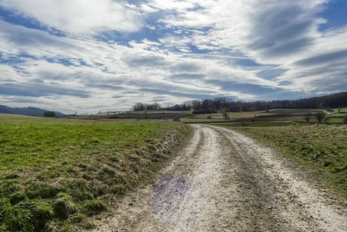
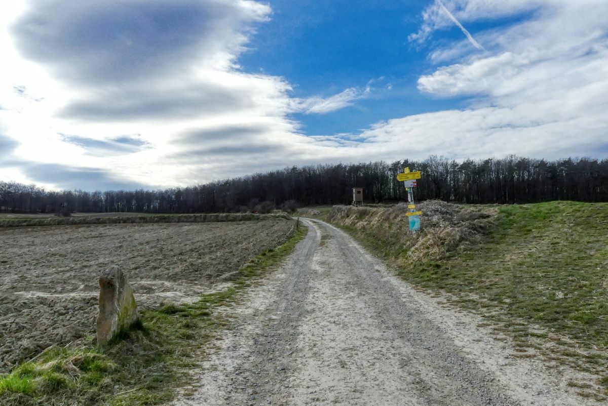
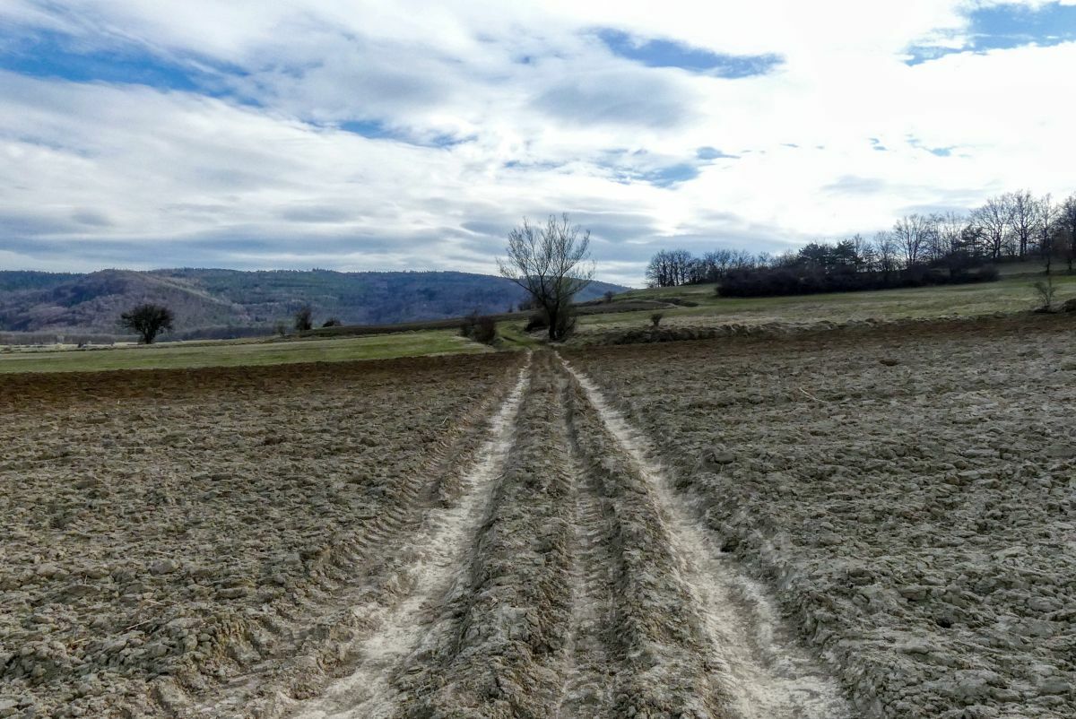
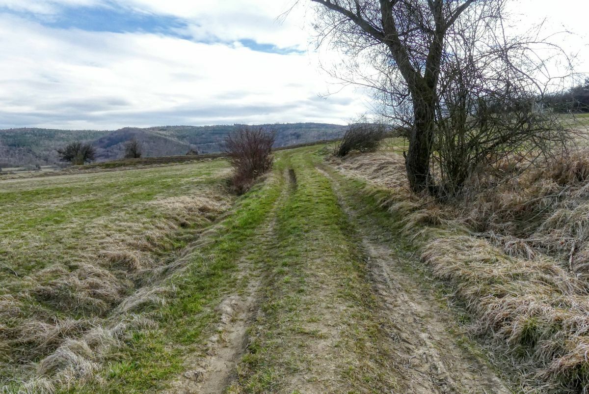
Eine zweistündige Rundwanderung von Unterbergern über die Donauleiten und die Ferdinandwarte.
- Difficulty
-
medium
- Rating
-
- Starting point
-
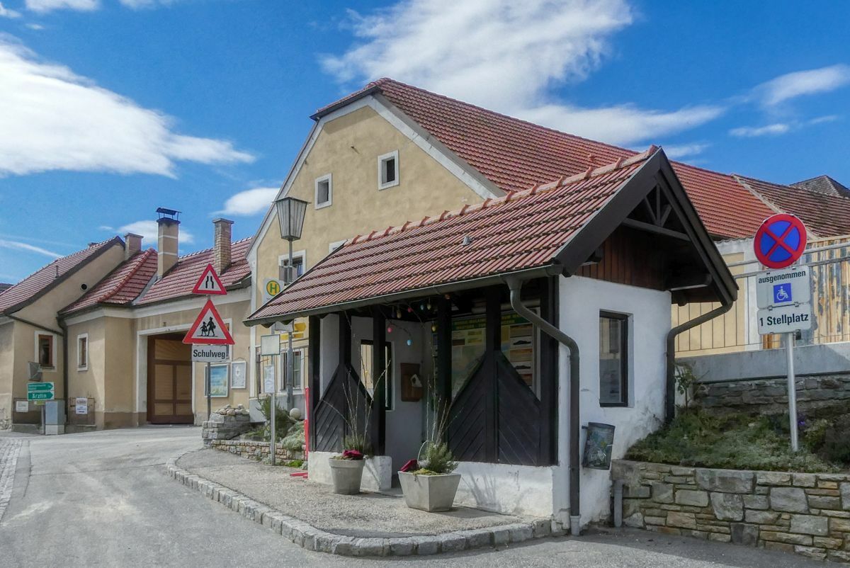
Bushaltestelle Unterbergern - Ortsmitte
- Route
-
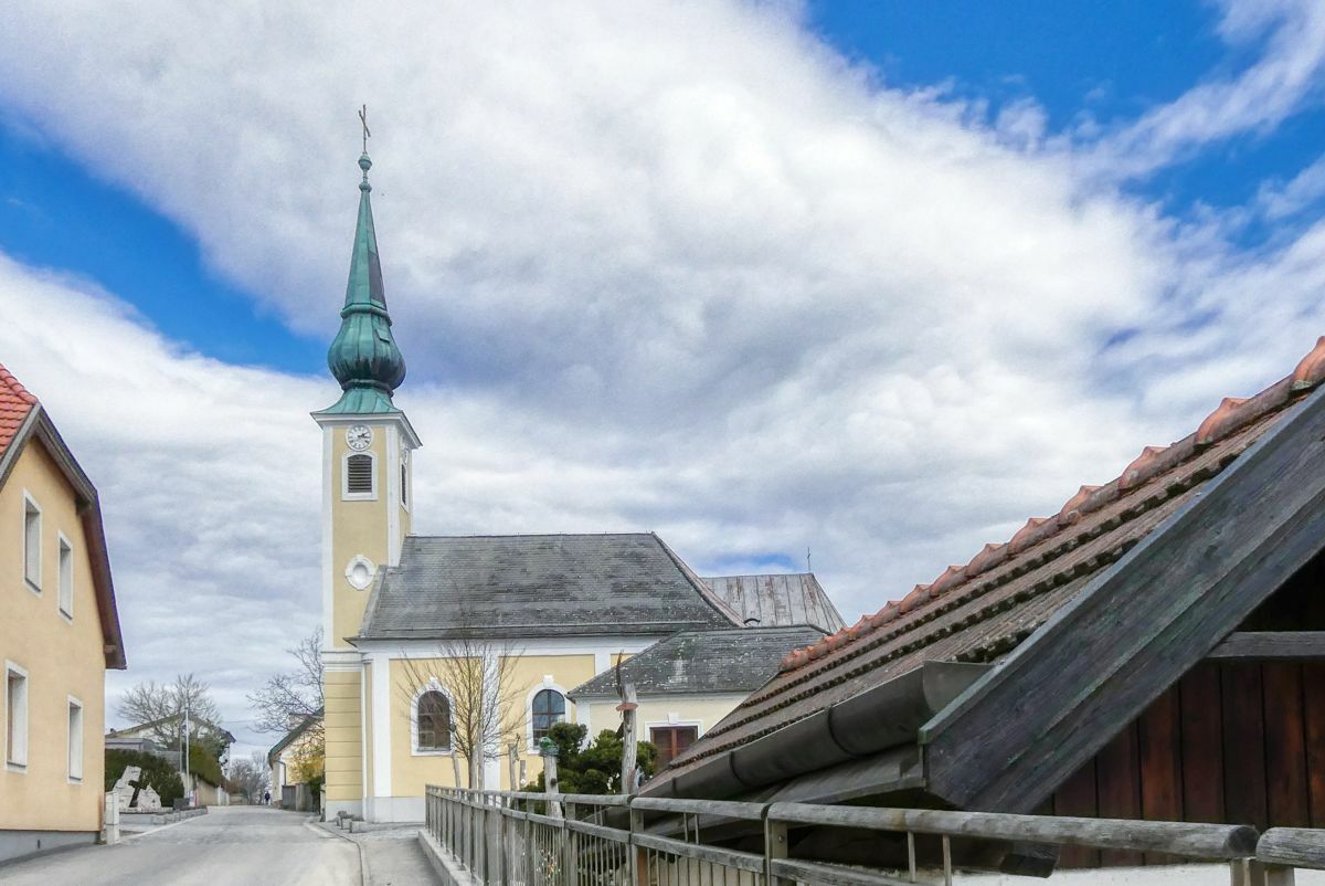
Unterbergern0.0 kmPfarrkirche hl. Johannes Nepomuk0.1 kmHundsheim1.2 km
- Best season
-
JanFebMarAprMayJunJulAugSepOctNovDec
- Highest point
- 392 m
- Endpoint
-
Bushaltestelle Unterbergern - Ortsmitte
- Source
- Weinbergwandern.at
GPS Downloads


Trail conditions
Asphalt
Gravel
Meadow
Forest
Rock
Exposed
Other tours in the regions


