
- Brief description
-
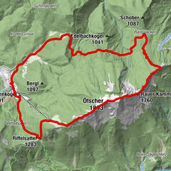
Hike from Lackenhof to the "Ötscher" father mountain
- Difficulty
-
medium
- Rating
-
- Starting point
-
Lackenhof village center
- Route
-
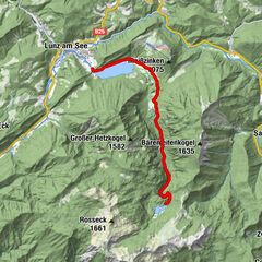
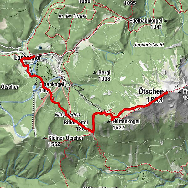
Lackenhof0.2 kmRiffelsattel (1,283 m)3.7 kmÖtscherschutzhaus4.4 kmHüttenkogel (1,527 m)4.9 kmÖtscher (1,893 m)6.7 kmWetterloch II6.8 kmHüttenkogel (1,527 m)8.6 kmÖtscherschutzhaus9.1 kmRiffelsattel (1,283 m)9.8 kmLackenhof13.3 km
- Best season
-
JanFebMarAprMayJunJulAugSepOctNovDec
- Description
-
Hike from Lackenhof over the Riffelsattel to the Ötscherschutzhaus and then to the summit with a wonderful view of the Styrian-Lower Austrian mountains.
- Directions
-
Lackenhof - Ötscherschutzhaus (without using the lift):
The starting point is in the center of Lackenhof. The first signpost (hiking trail no.4, Österr. WWW 06, Ötscherland RWW 277/677) can be found opposite the former Lackenhof elementary school. Follow the "Ötscherweg" past the youth hostel and then on the forest road straight ahead, mostly through the forest.
Crossing the ski slopes you reach the Riffelboden (approx. 1050m above sea level) after about 45 minutes. You can also get here from the Weitental (from the Ötscher lift valley station) via the marked path (No. 5a) to the Riffelboden (this ascent, however, is steeper, approx. 20 min. ). Here you leave the forest road straight ahead. After a short walk, the trail leads to the new Ötscher family descent and finds its continuation on the left side of the descent, up the slope into the shady forest.
After many serpentines and a steep ascent, you reach a side arm of the descent. Continue on this and later turn right along the forest path to the Riffelsattel (1283 m above sea level, approx. 40 min., important crossroads, right to the "Steinernen Mandl", to the Kleiner Ötscher or to the Feldwiesalm, straight ahead to the Ötschergräben and to the southern width of the Ötscher).
The path leads left along the slope to the Ötscherschutzhaus and to the top station of the Ötscher lift (1436m above sea level, approx. 20 min.). The ÖTK house is open all year round (except November and April) and offers catering, camp quarters and rooms.
Ötscherschutzhaus - summit:
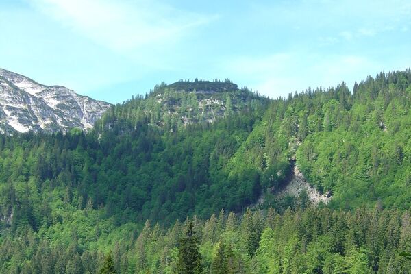
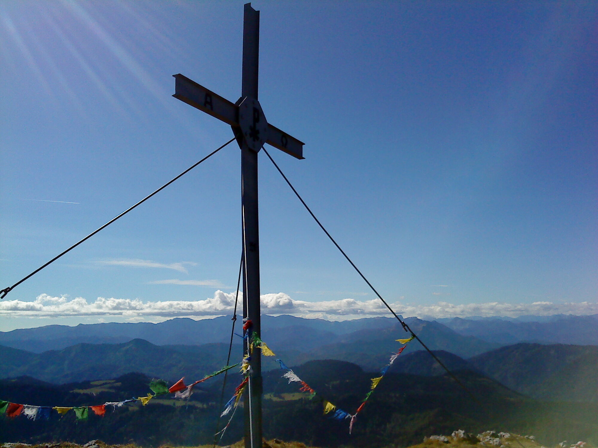
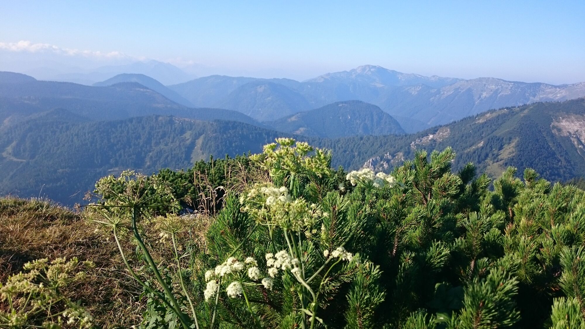
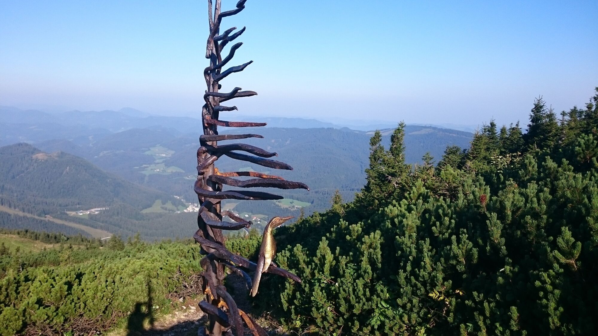
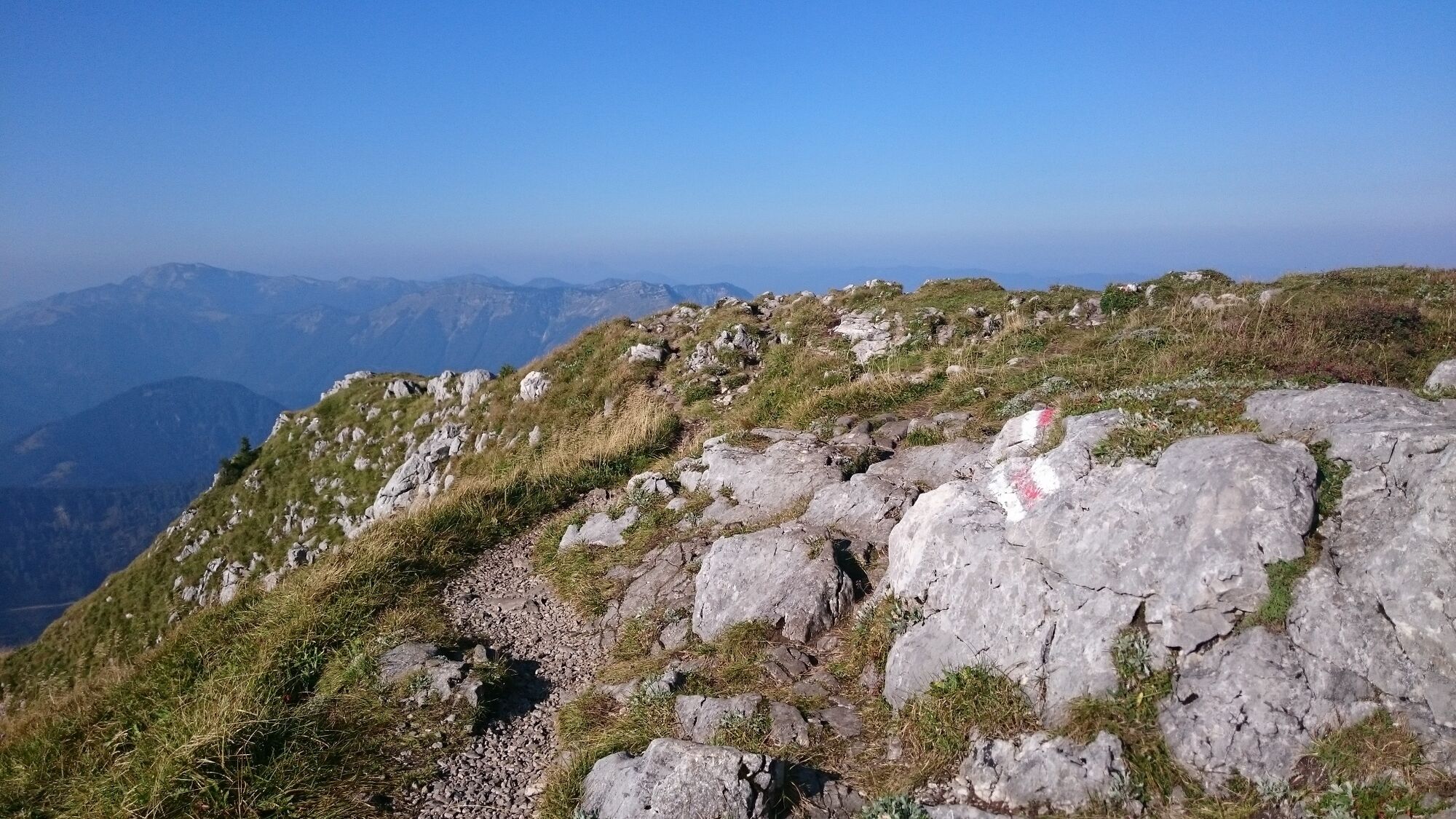
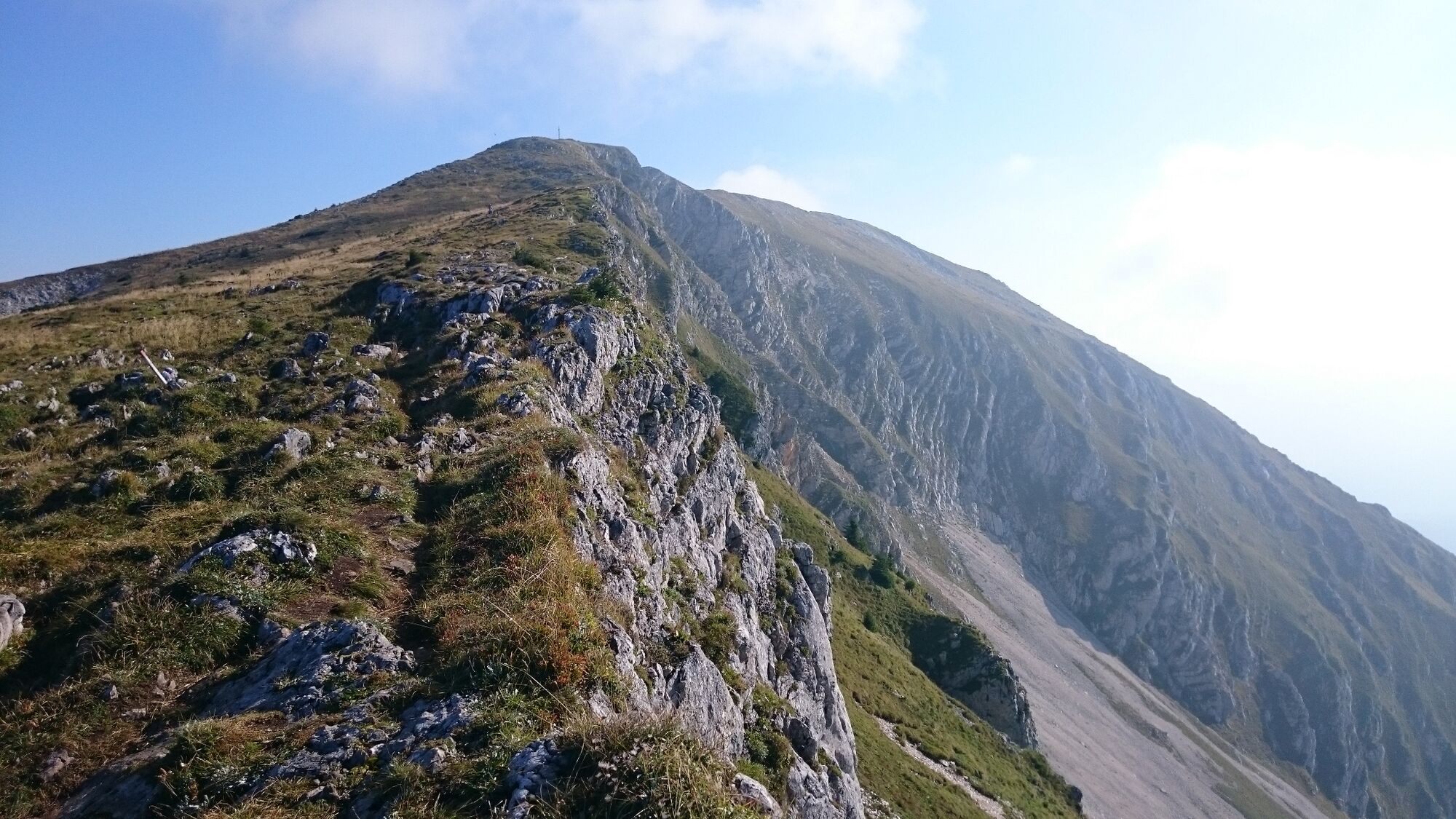
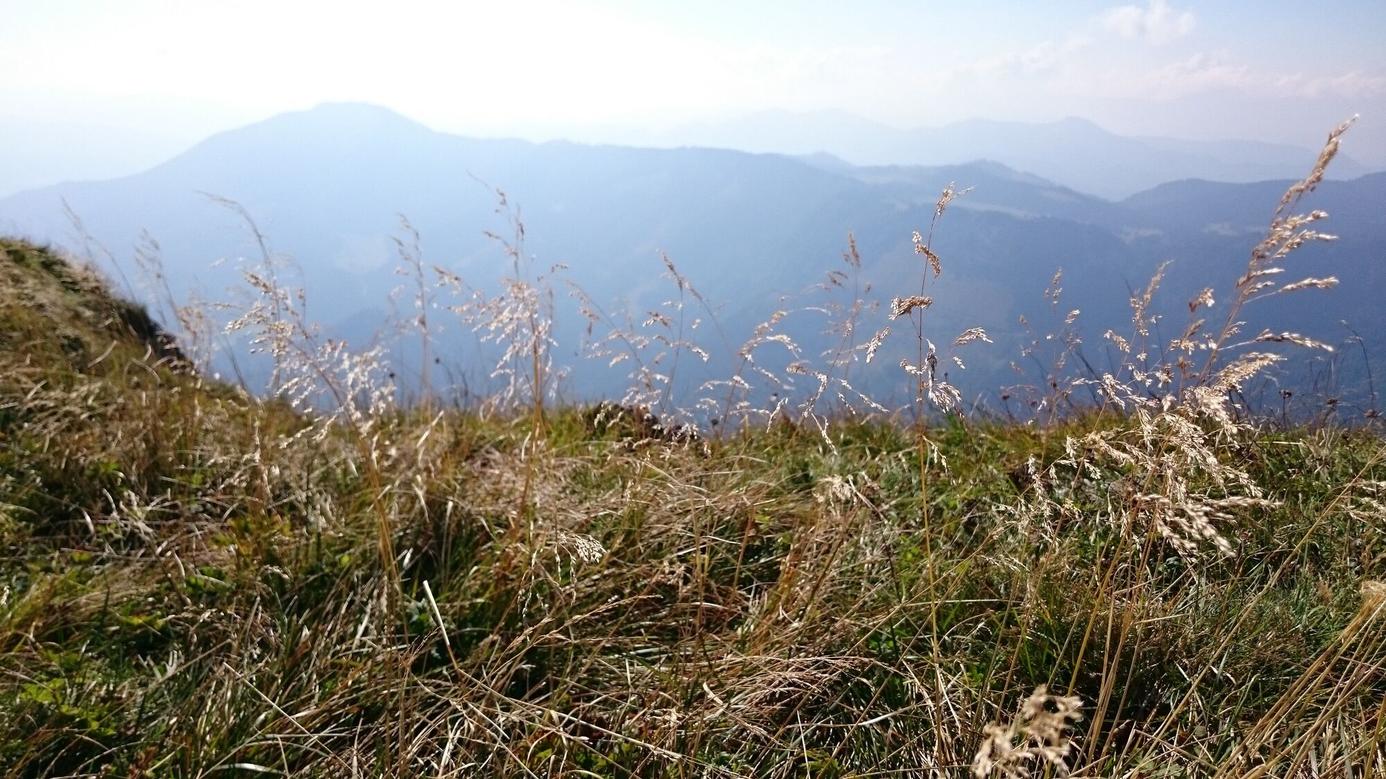
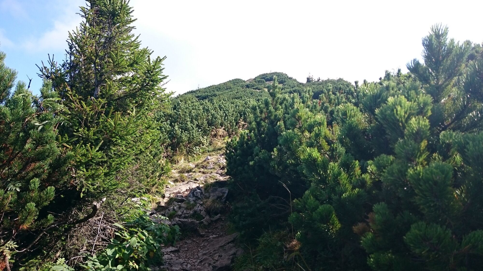
From the mountain station, take a comfortable walking path in a few switchbacks across the grass-covered "Wiesmahd" up to the Hüttenkogel. In clear weather it is recommended to look through the panoramic telescope (approx. 15 min., 1520m above sea level), because already here you have a magnificent view of the mountain panorama to the south and west as well as of the hill ranges north of the Ötscher. The marked path turns already before the panoramic telescope to the left towards the east, steeper uphill over the stony rocky ridge with increasingly magnificent views. At a rocky constriction of the ridge, the "Weißes Mäuerl", you can see the summit cross for the first time. Across the grass-covered flattening, especially charming along the ridge with a magnificent deep view into the southern cirque, you continue to the steeper ascent of the Kreuzkogel with the small summit plateau (1893m above sea level, approx. 1 1/4 hours).
For the descent, it is preferable to use the less stony but somewhat damp "Hangweg", which branches off to the right after the "Weißen Mäuerl", over grassy slopes and through mountain pine alleys to the meadow meadow.
Source: Mostviertel Tourism
- Highest point
- 1,869 m
- Endpoint
-
Lackenhof village center
- Height profile
-

- Equipment
-
Good hiking boots are necessary for the tour on the Ötscher, hiking poles are also an advantage!
Proper backpacking makes many things easier: Pack heavy things first. The water bottle should always be within easy reach in a side pocket. All things that are often needed like sunglasses, camera or hiking map belong on top. An emergency kit including blister plaster belongs in every backpack and a clothing according to the "onion system" is always recommended!
- Safety instructions
-
Surefootedness required!
Emergency call mountain rescue: 140
Tip for reporting an emergency - give answers to the six W-questions: What happened? How many injured? Where did the accident happen (possibly GPS coordinates)? Who is reporting (callback number)? When did the accident happen? Weather at the accident site?
- Tips
-
If you want to take it easier, you can take the lift from Lackenhof to the Ötscherschutzhaus and hike from there to the summit.
- Additional information
- Directions
- Public transportation
- Parking
-
Parking lot at the former elementary school Lackenhof
- Author
-
The tour From Lackenhof to the Ötscher is used by outdooractive.com provided.


General info
-
Mostviertel
2453
-
Mariazellerland
1503
-
Lackenhof am Ötscher
414