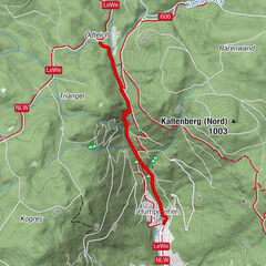


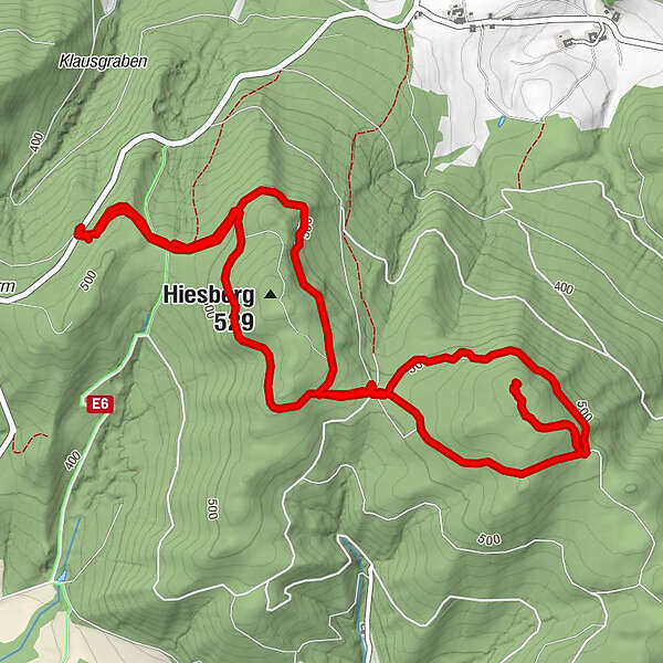
Tour data
7.38km
531
- 573m
42hm
33hm
01:41h
- Brief description
-
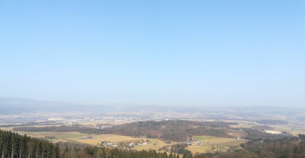
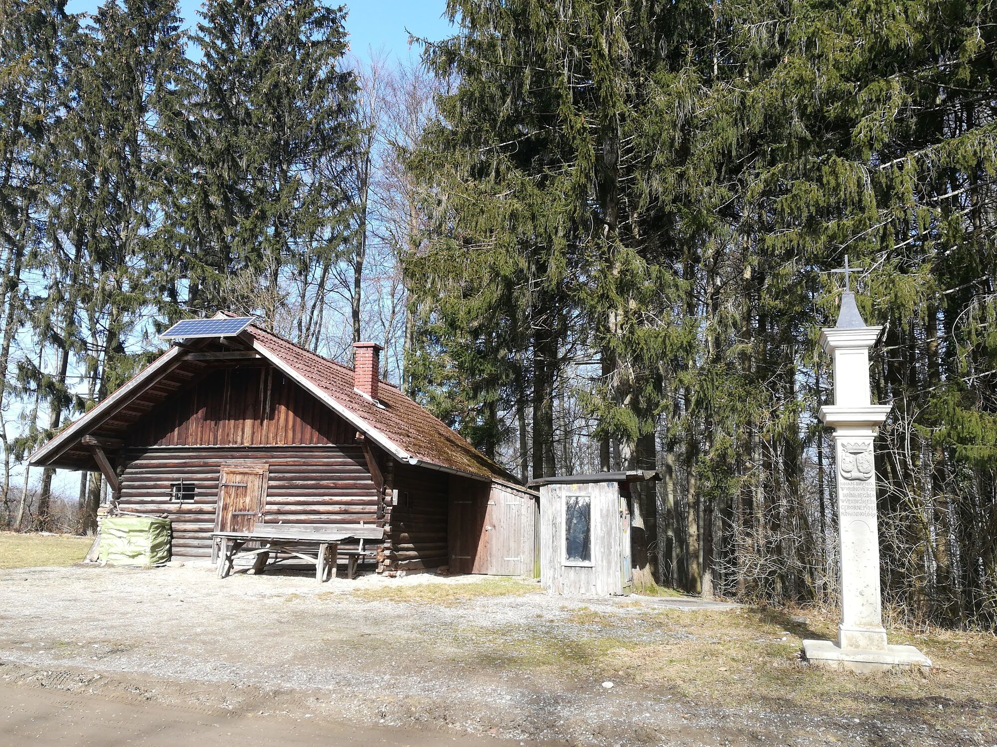
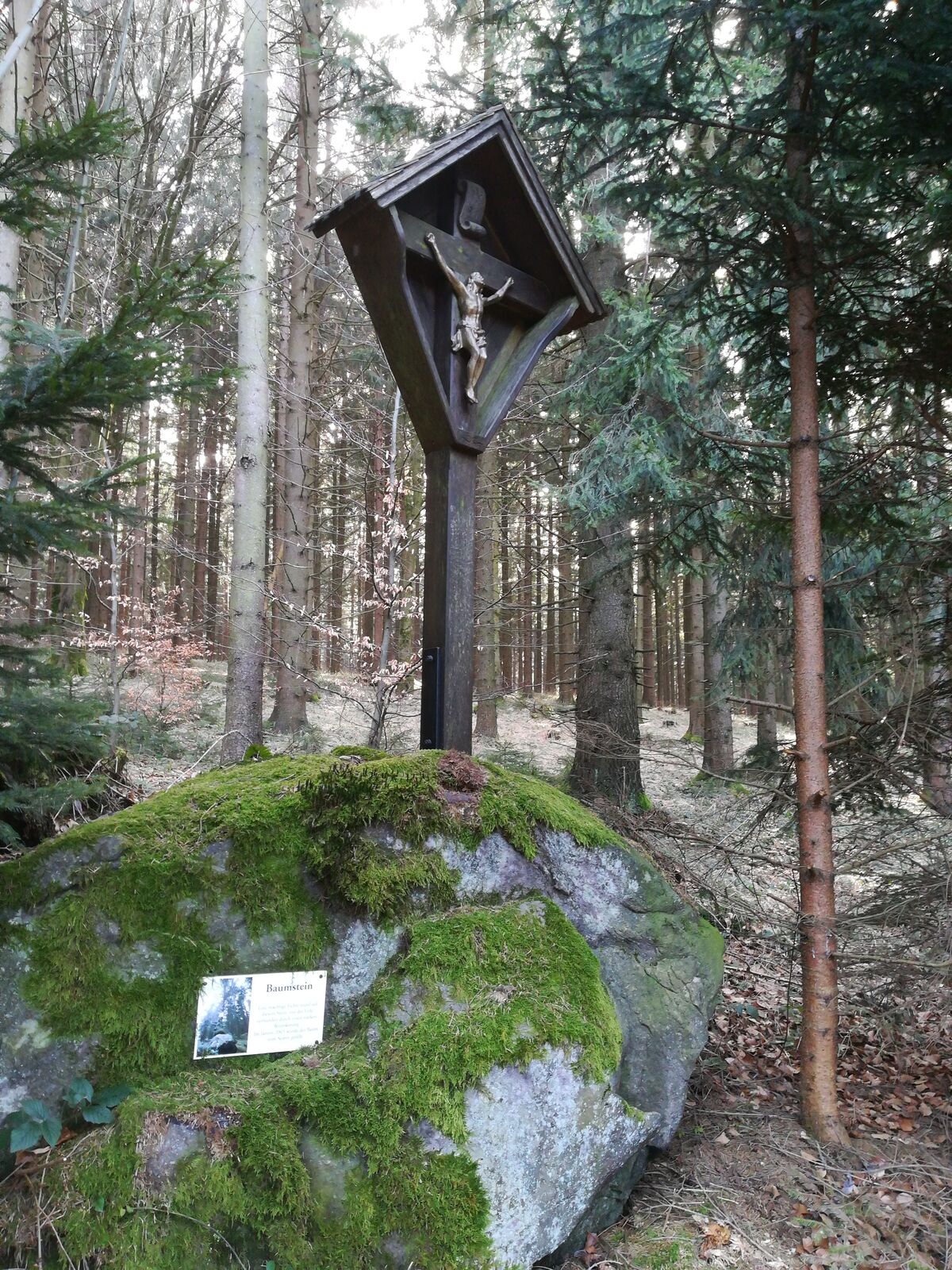
Nette Wanderung zum Gipfelkreuz am Hiesberg
- Difficulty
-
easy
- Rating
-
- Starting point
-
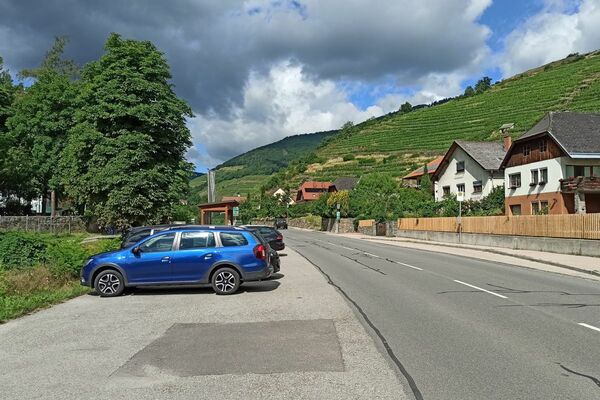
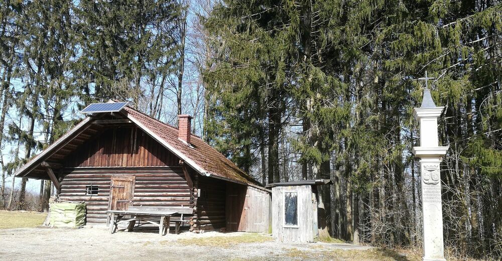
2. Parkplatz Großweichselbacher Straße aus Richtung St. Leonhard
- Route
-
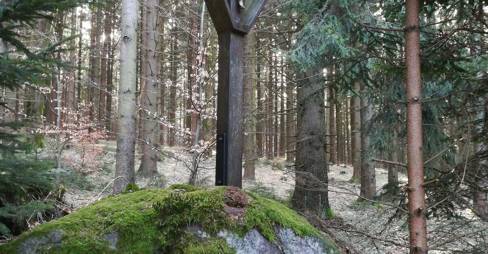
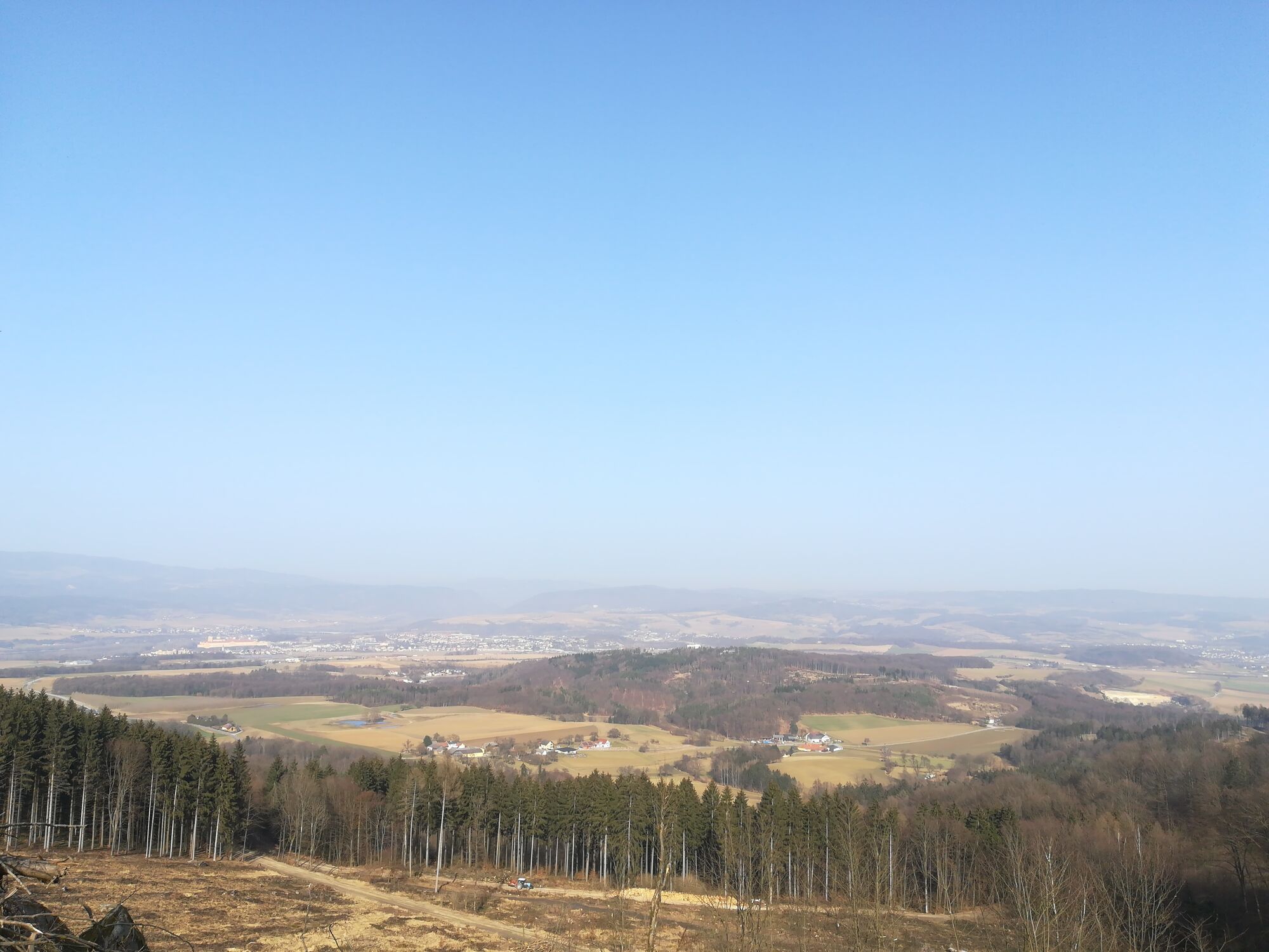
Hiesberg (558 m)3.5 km
- Highest point
- 573 m
- Endpoint
-
Ausgangspunkt = Zielpunkt


- Source
- Veronika Scheibelhofer und Gertrude Wohlfahrt
GPS Downloads


Trail conditions
Asphalt
Gravel
Meadow
Forest
Rock
Exposed
Other tours in the regions
-
Mostviertel
2453
-
Wachau - Nibelungengau - Kremstal
1362
-
Schollach
192