Lisa’s Rätselwanderweg

Logo Lisa’s Rätselwanderweg
Tour data
3.54km
242 - 320m
Distance
72hm
62hm
Ascent
01:00h
 
Duration
Brief description

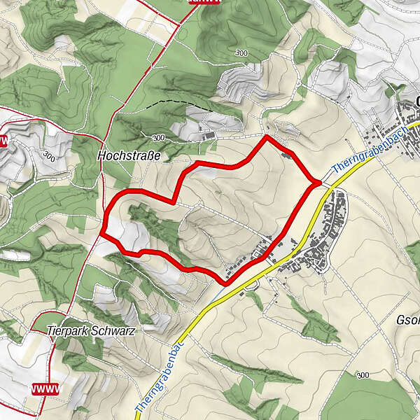
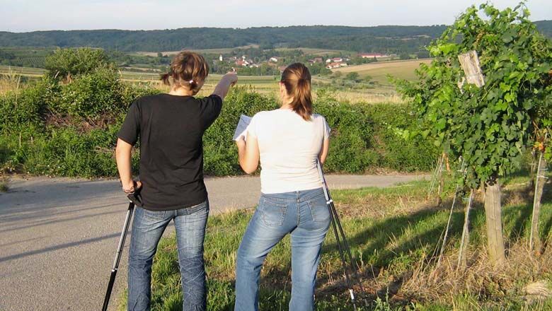
Start / Ziel: Unterthern

Difficulty
medium
Rating
Technique
Fitness
Landscape
Experience
Route
Unterthern
3.2 km

Best season
Jan
Feb
Mar
Apr
May
Jun
Jul
Aug
Sep
Oct
Nov
Dec
Highest point
320 m
Height profile

Author
The tour Lisa’s Rätselwanderweg is used by outdooractive.com provided.

Overall rating

5

0

%

4

0

%

3

0

%

2

0

%

1

0

%

Error
An error has occurred. Please try again.
Thank you for your review

Rating has been deleted

GPS Downloads
  • GPX GPS Exchange Format (XML)
  • KML Google Earth, Google Maps
QR Download Codes for Mobile Phones
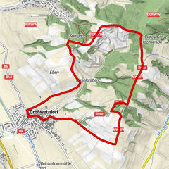
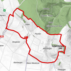
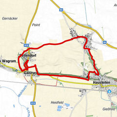
Other tours in the regions

Popular tours in the area

Weinwanderweg Wetzdorf

easy Thematic route
6.51km | 116hm | 02:00h

Martiniweg Wullersdorfer Land

easy Thematic route
7.31km | 100hm | 02:19h

Auf den Spuren der Kellerkatze

easy Thematic route
4.09km | 102hm | 03:00h

Erlebnisweg Kultur verbindet

medium Thematic route
11.24km | 81hm | 03:00h