
- Brief description
-
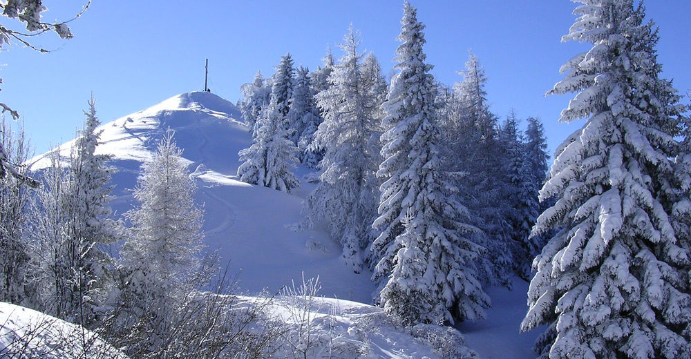
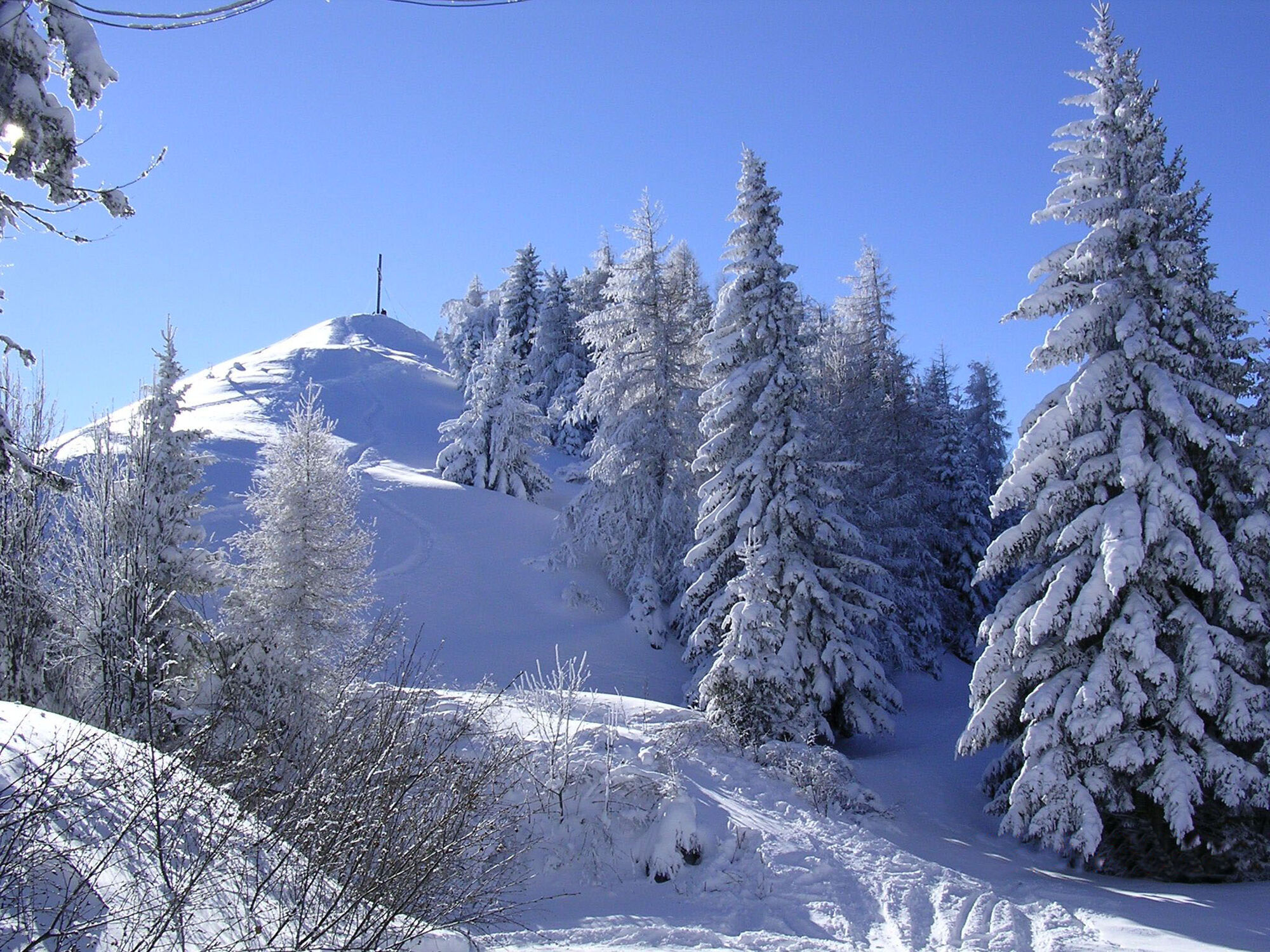
A long snowshoe hike at the foot of Sonnwendstein.
- Difficulty
-
medium
- Rating
-
- Starting point
-
Top of Semmering pass
- Route
-
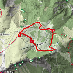
Semmeringpass (984 m)0.1 kmDürrgraben3.8 kmKummerbauerstadl12.8 kmGöstritzsattel (1,078 m)12.9 kmStrohlagerhöhle20.4 kmBrückenhöhlchen20.6 kmLaubhöhle20.6 kmPalacehotelhöhle20.9 kmSemmeringpass (984 m)21.4 km
- Best season
-
AugSepOctNovDecJanFebMarAprMayJunJul
- Description
-
The extensive snowshoe hike leads from Semmering pass into Dürrgraben and, from the stream crossing, uphill to the mountain rescue hut. The Kummerbauerstadl alpine inn offers a place to stop for refreshments. Via the former section of the Wechsel-Panoramaloipe the path leads to Greis and via a forest path back to Semmering.
A beautiful winter hike around Sonnwendstein.
- Directions
-
The start of the tour is at the lower station of the chair lift "Blauer Blitz" at the foot of the Hirschenkogel. We will follow the flat Johannesloipe to the stream crossing. Now we will go left further into the valley, occasionally strongly ascending up to the mountain rescue hut. Here we will keep right towards Kummerbauer Stadl. Now we will follow the Kummerbauer road marking up to the inn. From here we can follow the former section of the Wechsel-Panorama cross-country ski track to Greis. Shortly before we arrive in Greis, the forest path branches off back to Semmering.
- Highest point
- 1,346 m
- Endpoint
-
Top of Semmering pass
- Height profile
-

- Equipment
-
Equip yourself according to the season, as there is only one place to stop for refreshments.
Take a hiking map and your mobile phone with you and store the emergency number for Mountain Rescue: 140
- Safety instructions
-
The route follows forest roads. Attention, only refreshment possibility is Kummerbauer alpine inn!
When choosing the route, make sure it is suitable for your level of fitness and experience. Consult the weather forecast in advance. The weather can change with surprising rapidity in the mountains. So always make sure you are suitably equipped before setting out.
Check whether the huts and snack stations you intend to visit en route are open. Before setting out, tell somebody what route you are taking and when you expect to return.
Mountain rescue emergency number: 140
EU emergency service: 122
For information about avalanches: lawinenwarndienst-niederösterreich.at
- Additional information
- Directions
-
By car from Vienna via the A2 to the Seebenstein junction. Continue on the S6 to the exit Semmering - Maria Schutz.. Turn right along the country road for 3 km until you reach Semmering pass.
- Public transportation
- Parking
-
Public parking is at the top of the Semmering pass.
- Author
-
The tour Semmering - Around Sonnwendstein is used by outdooractive.com provided.