- Brief description
-
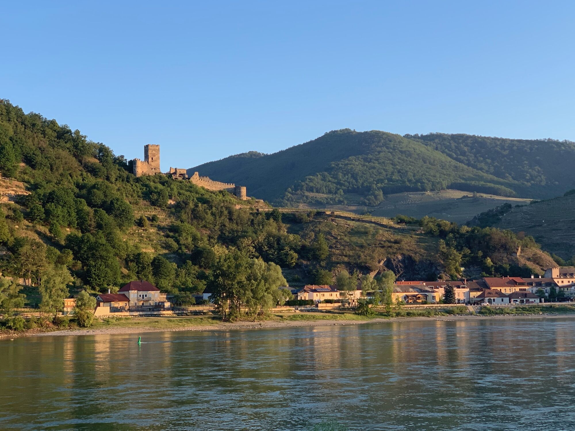
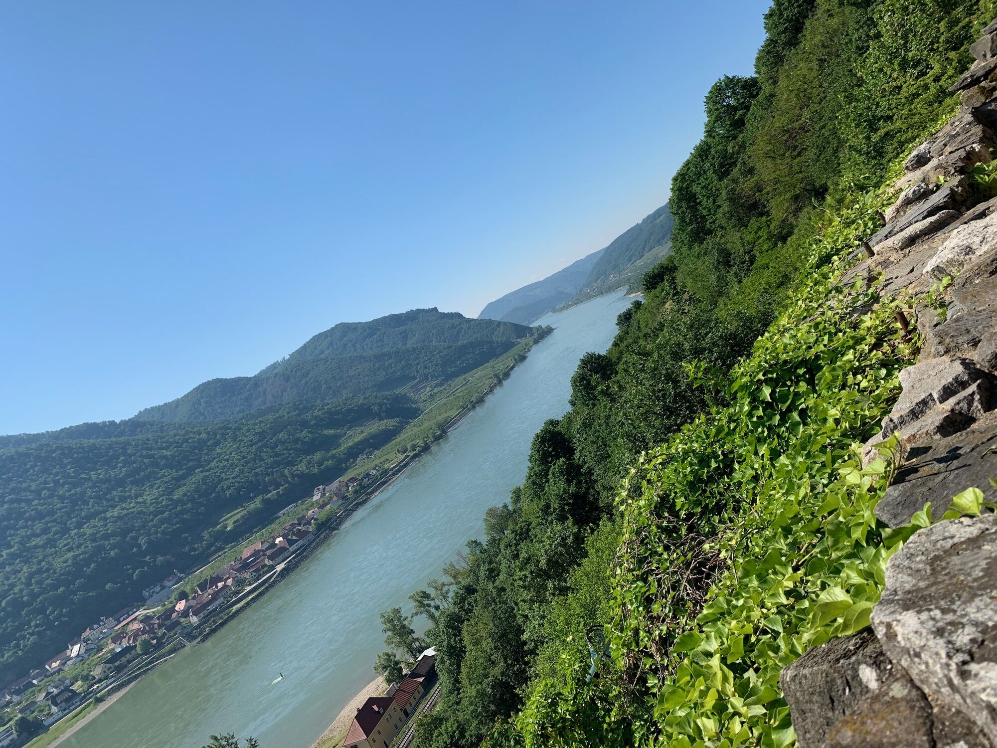
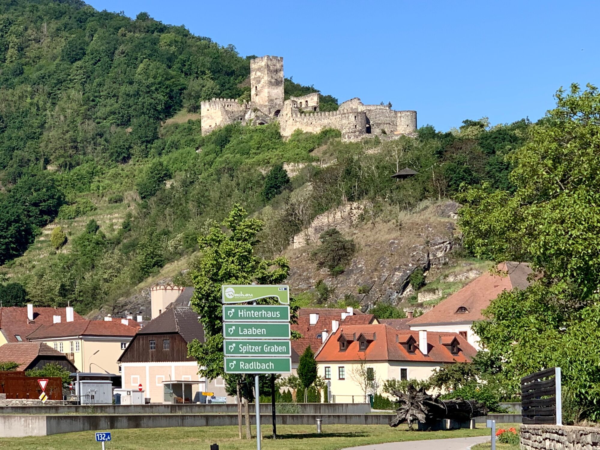
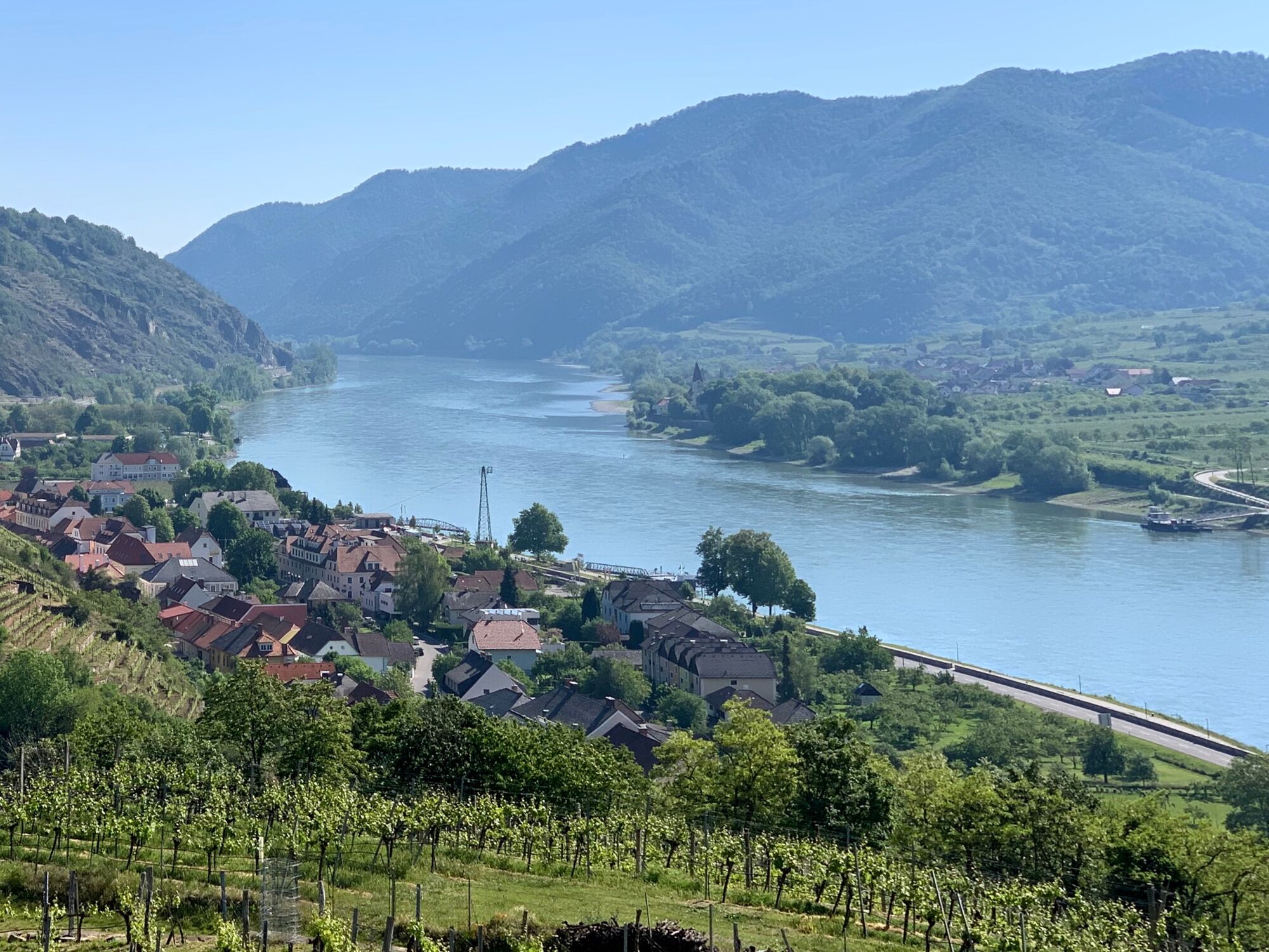
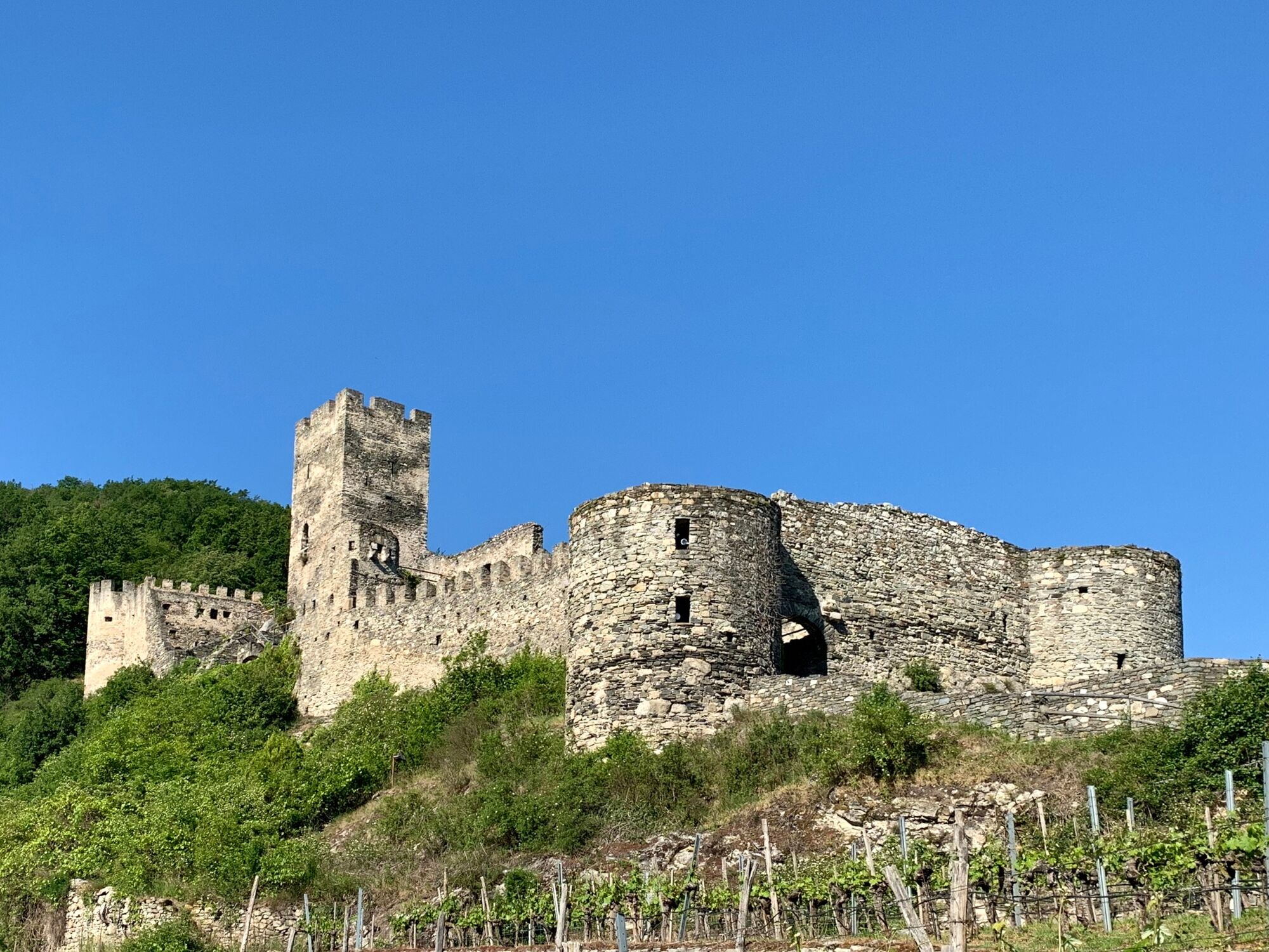
On a foothill of the Jauerling opposite the Thousand Bucket Mountain near Spitz lies the ruins of the Hinterhaus Castle, the first castle in the Wachau Valley downstream from Melk on the left.
- Difficulty
-
medium
- Rating
-
- Starting point
-
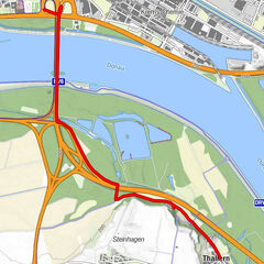
On the Danube in Oberarnsdorf in the Wachau Valley
- Route
-
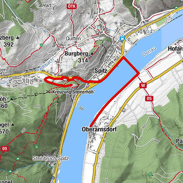
Oberarnsdorf0.0 kmSpitz1.5 km
- Best season
-
JanFebMarAprMayJunJulAugSepOctNovDec
- Description
-
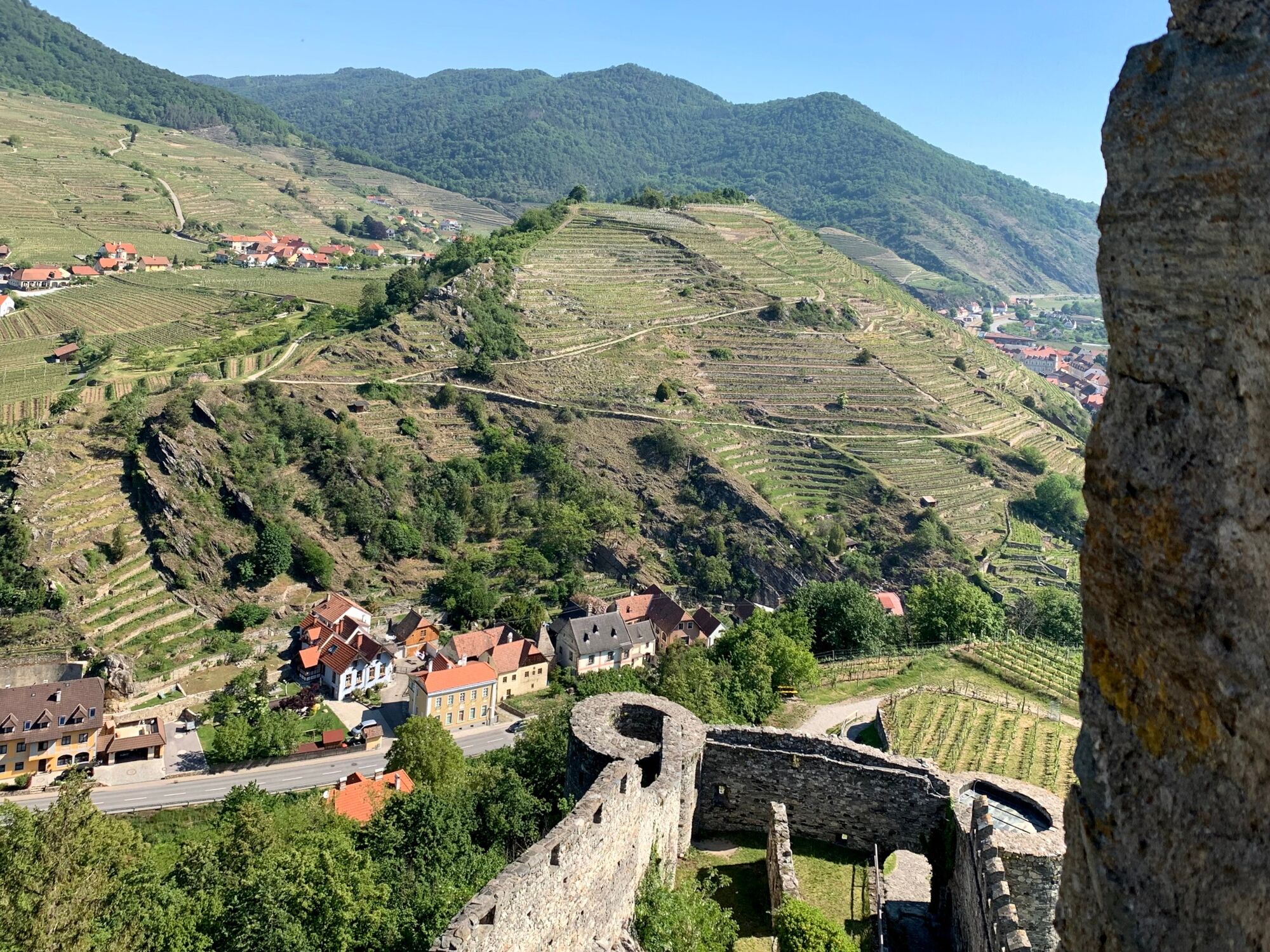
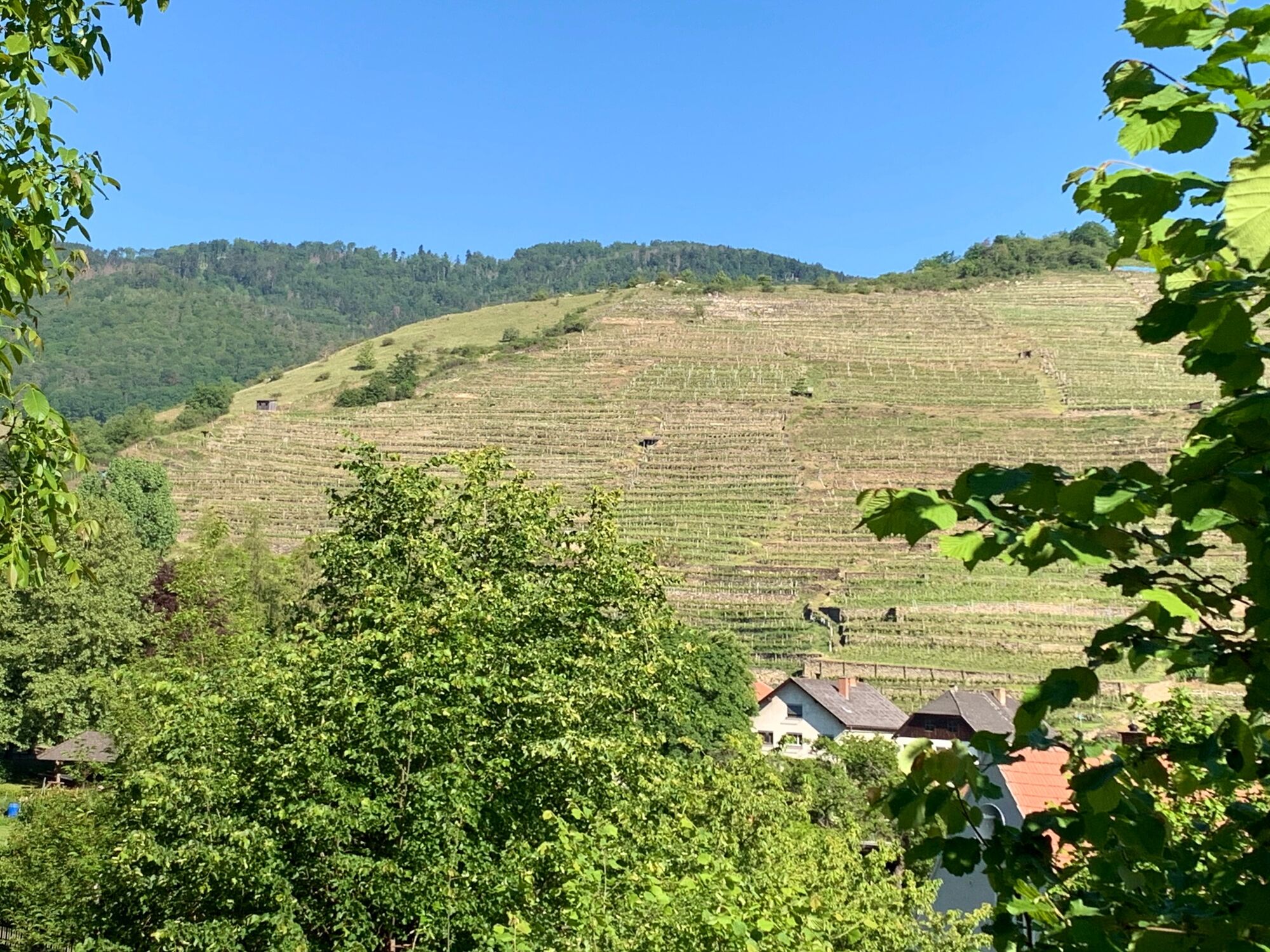
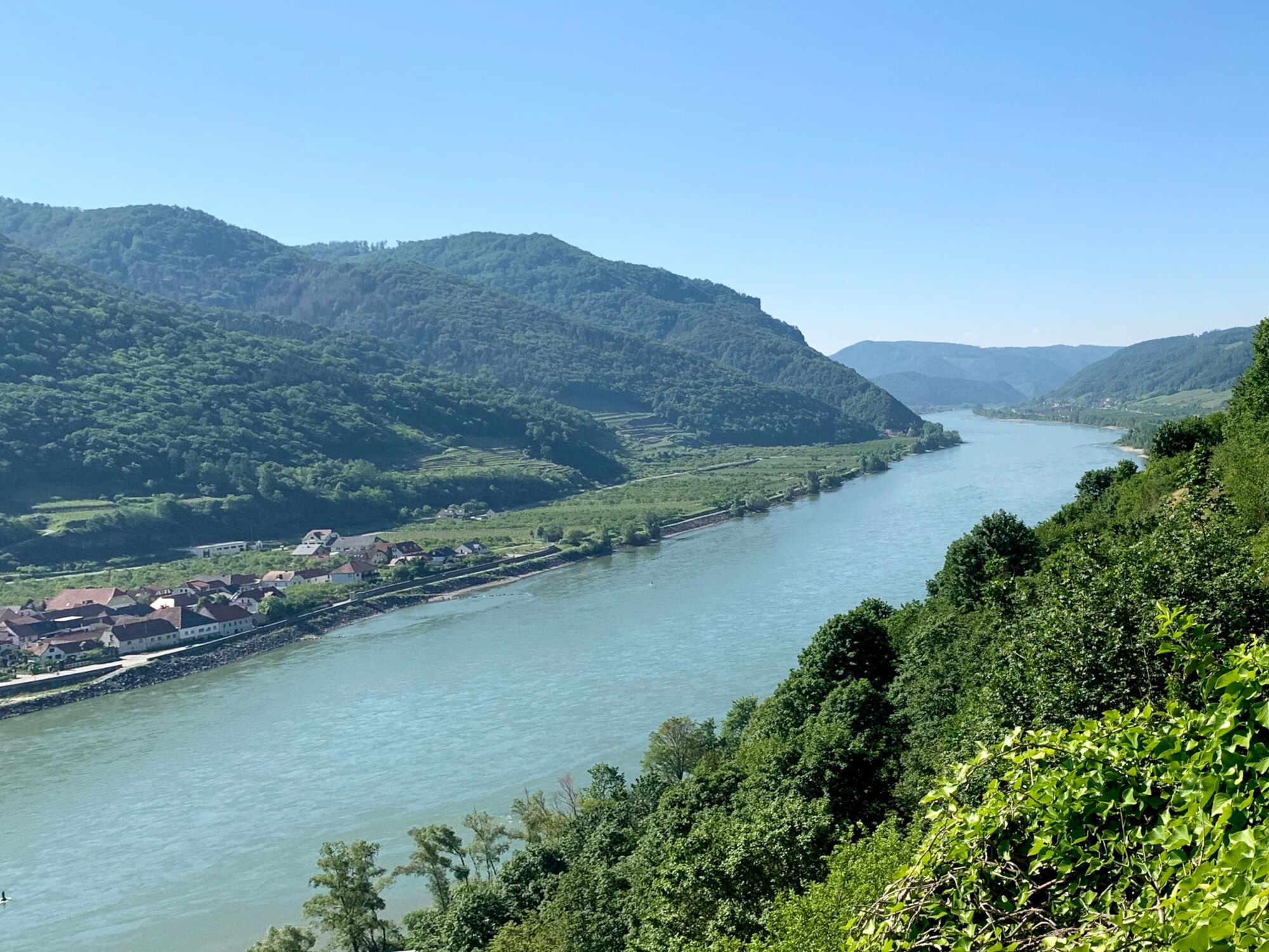
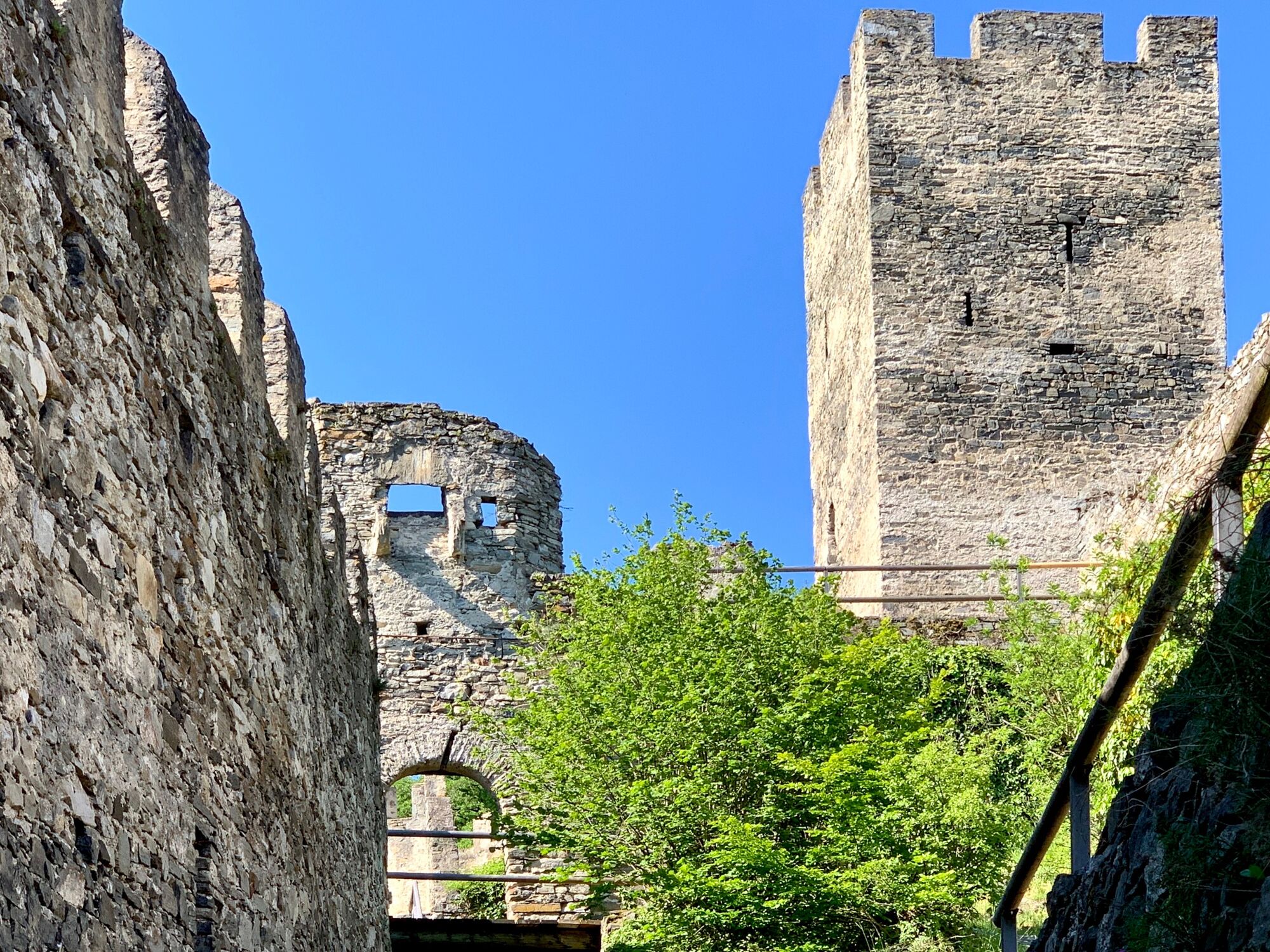
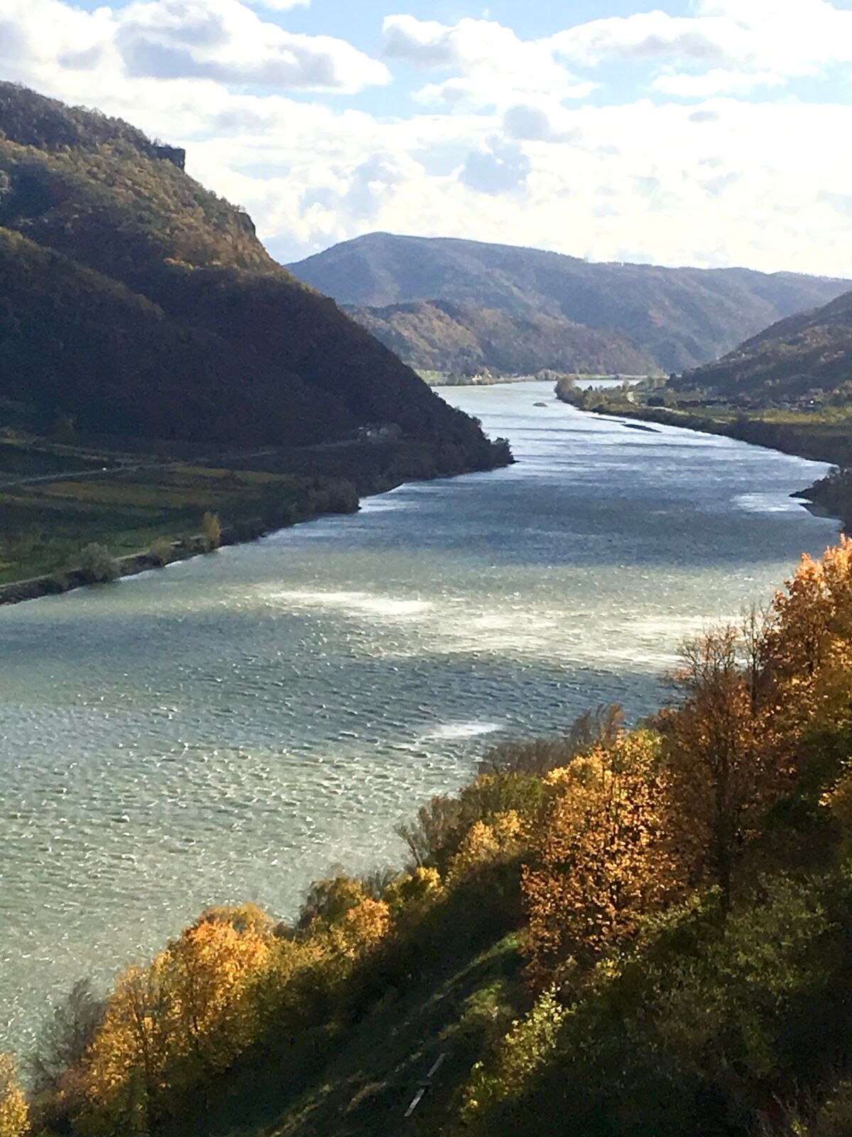
The Hinterhaus Castle Ruin is the first of 3 ruins in the Wachau Valley. The 40 km long Wachau Valley is a breakthrough valley of the Danube between Melk and Krems. Melk is known for its monastery, which was originally a castle. In the Wachau Valley, you can almost see from castle to castle.
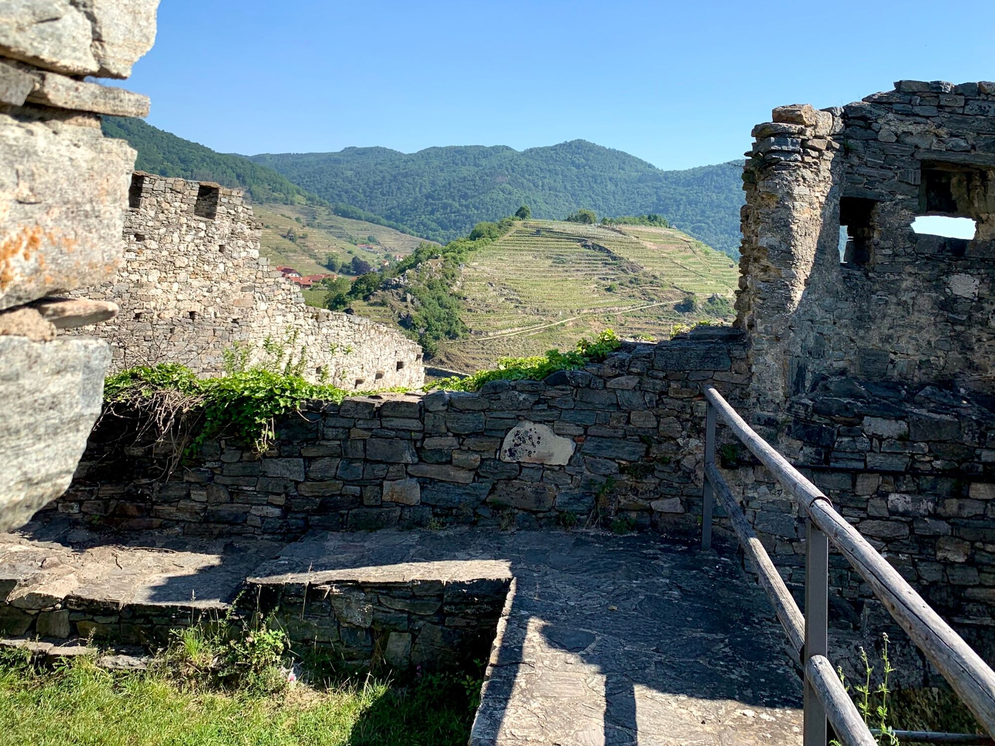
The ruins of the Hinterhaus Castle, an elongated hilltop castle, were the seat of the Kuenringers and served to monitor the river Danube. The Kuenringers were an Austrian ministerial family of the Babenbergs from the 12th century until they died out in the 16th century. From the 11th century onwards, ministerials were unfree administrators and soldiers for royal estates and monasteries, and later also for the nobility.
In the 13th century, parts of this originally unfree class formed the class of the lower nobility. Azzo von Gobatsburg, a pious and rich man, is considered to be the progenitor of the Kuenringers. He came to what is now Lower Austria in the 11th century. In the course of the 12th century, the Kuenringer came to rule in the Wachau Valley.
- Directions
-
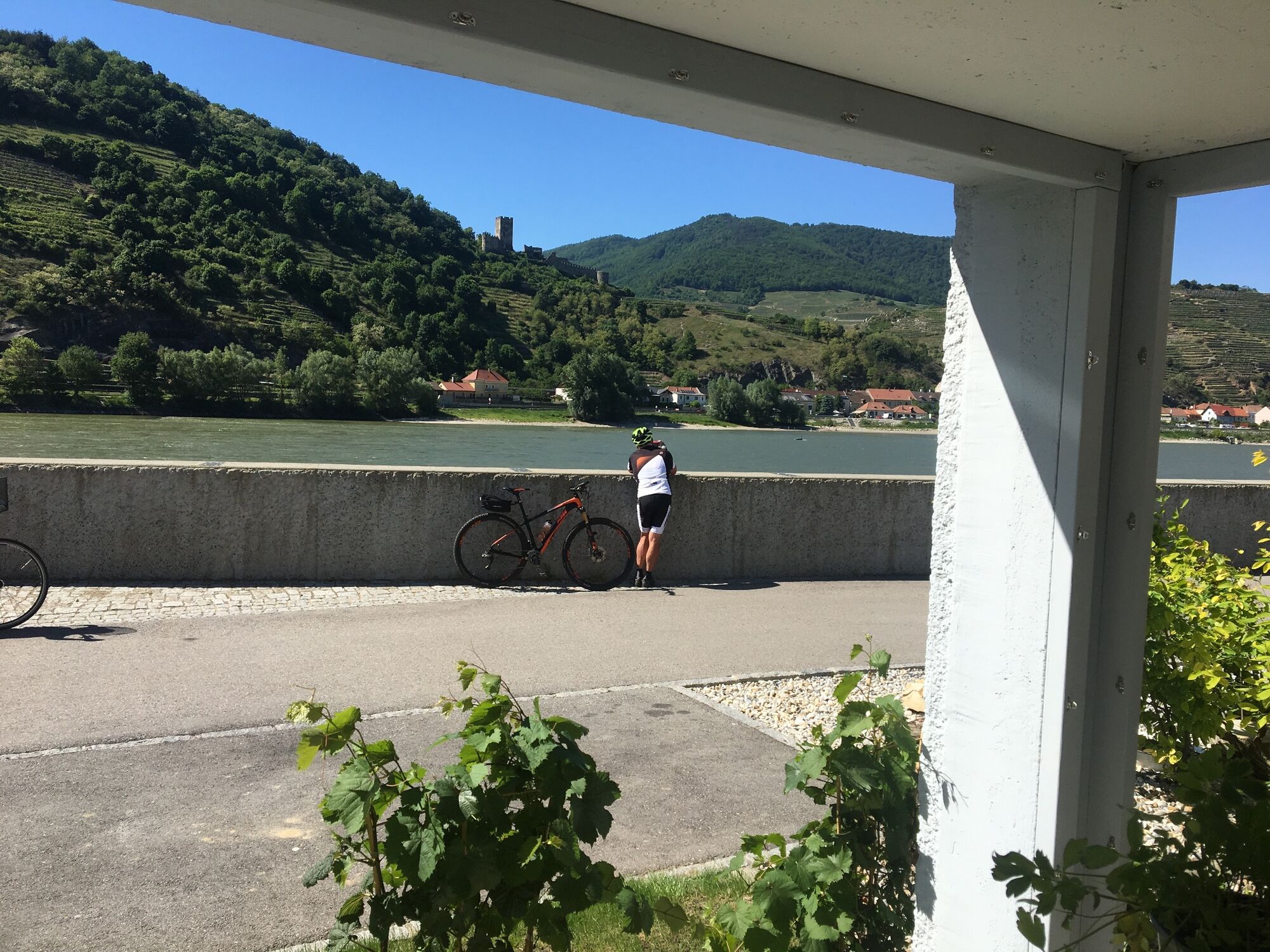
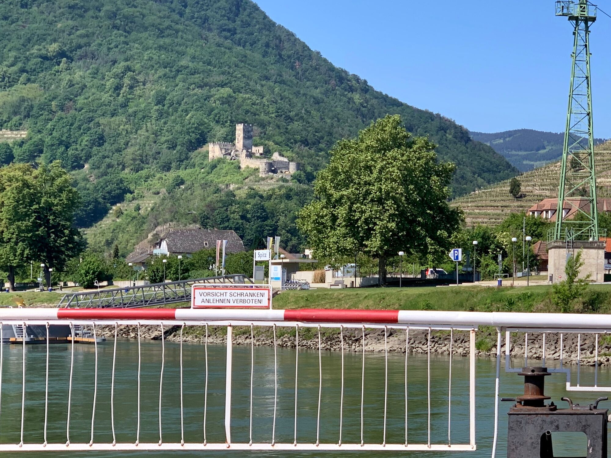
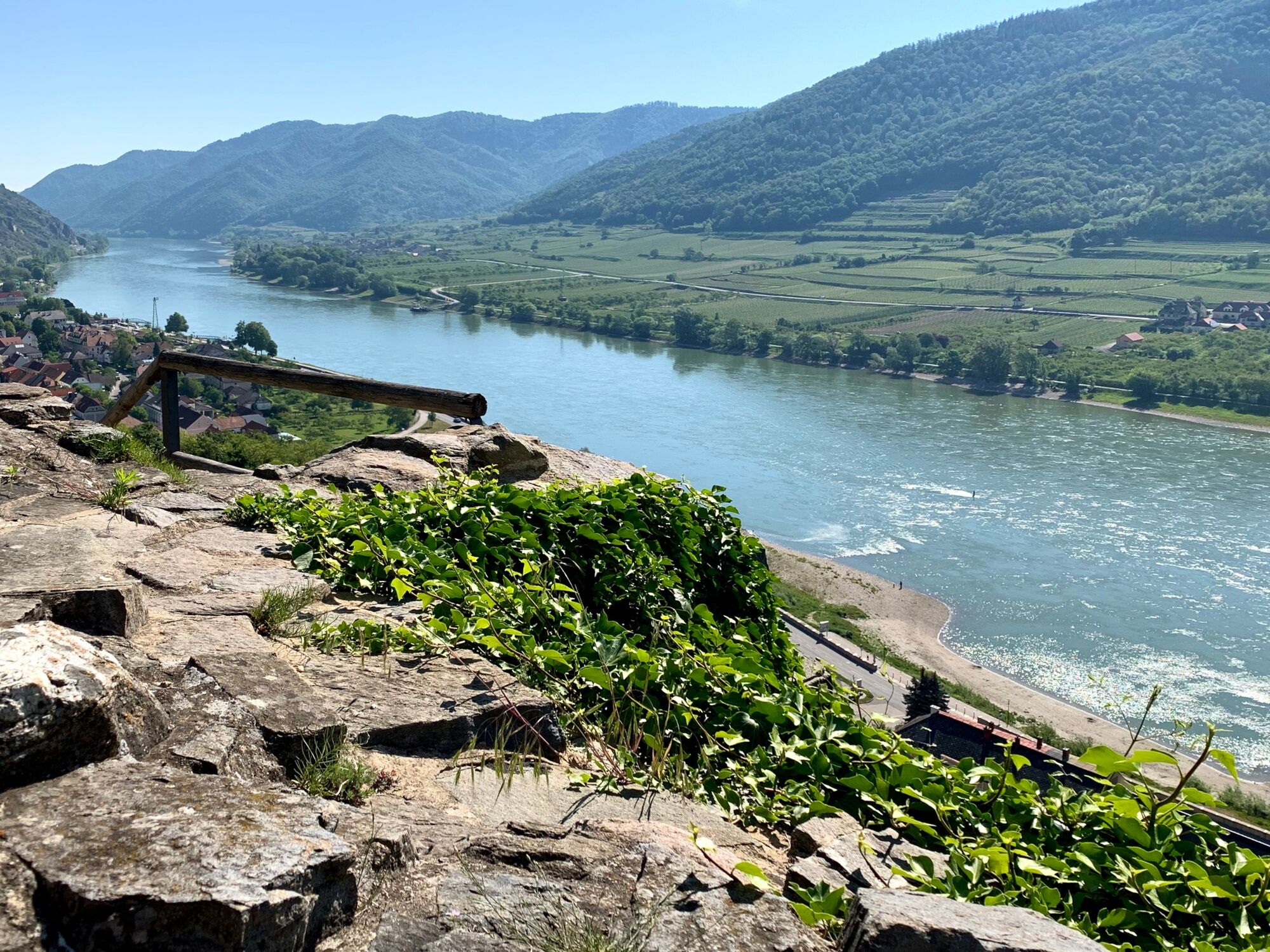
If you are on the Danube Cycle Path from Melk in the direction of Mautern, you will see a ruin from afar on the left side of the Danube, roughly at the level of Oberarnsdorf. Many cyclists therefore stop in Oberarnsdorf on the Danube to inspect and take photos of the thousand-year-old weir system. The ruin is in Hinterhaus, in the western district of Spitz, on a hill, actually a foothill of the Jauerling, a mountain that rises 960 m above sea level, the highest point in the Wachau Valley.
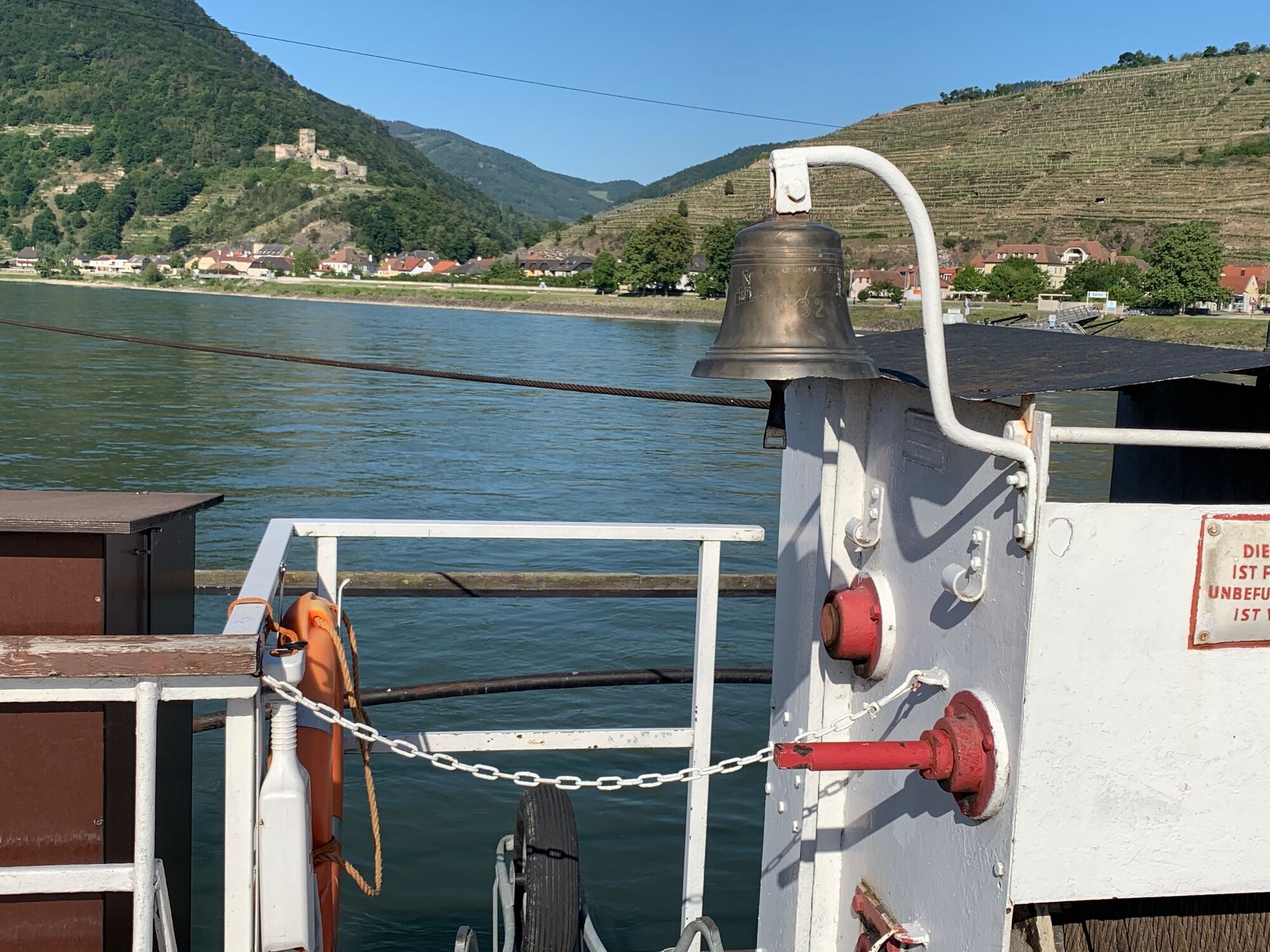
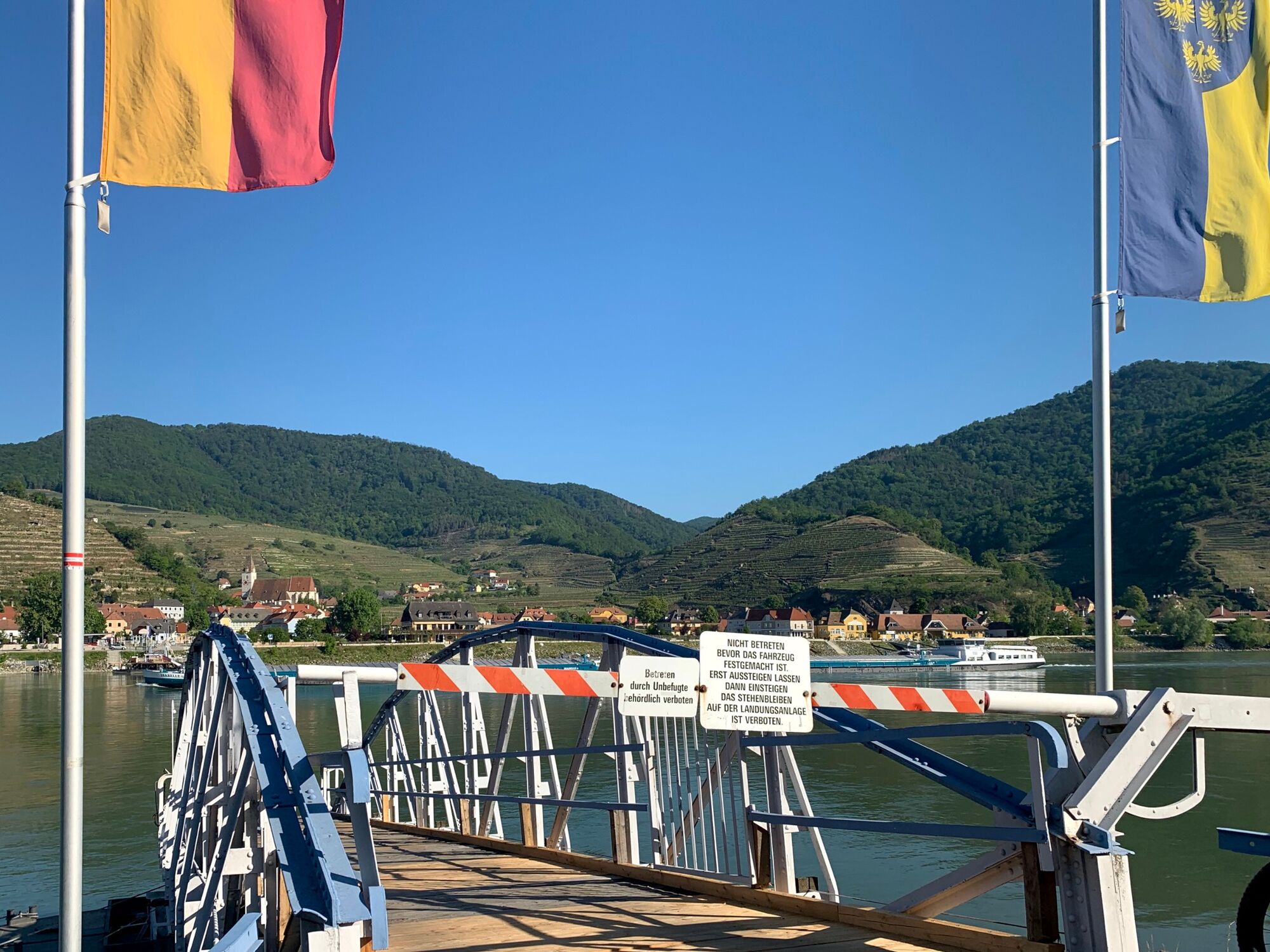
From Oberarnsdorf you continue by bike in the direction of Mautern to the landing stage for the roller ferry to Spitz. In Spitz we drive a little further upstream on the Treppelweg in the direction of Emmersdorf to the foot of the ruins in Hinterhaus. We take the junction to the right in the direction of Mühldorf. After a short distance, turn left over a small bridge over the Spitzer Bach to the other side.
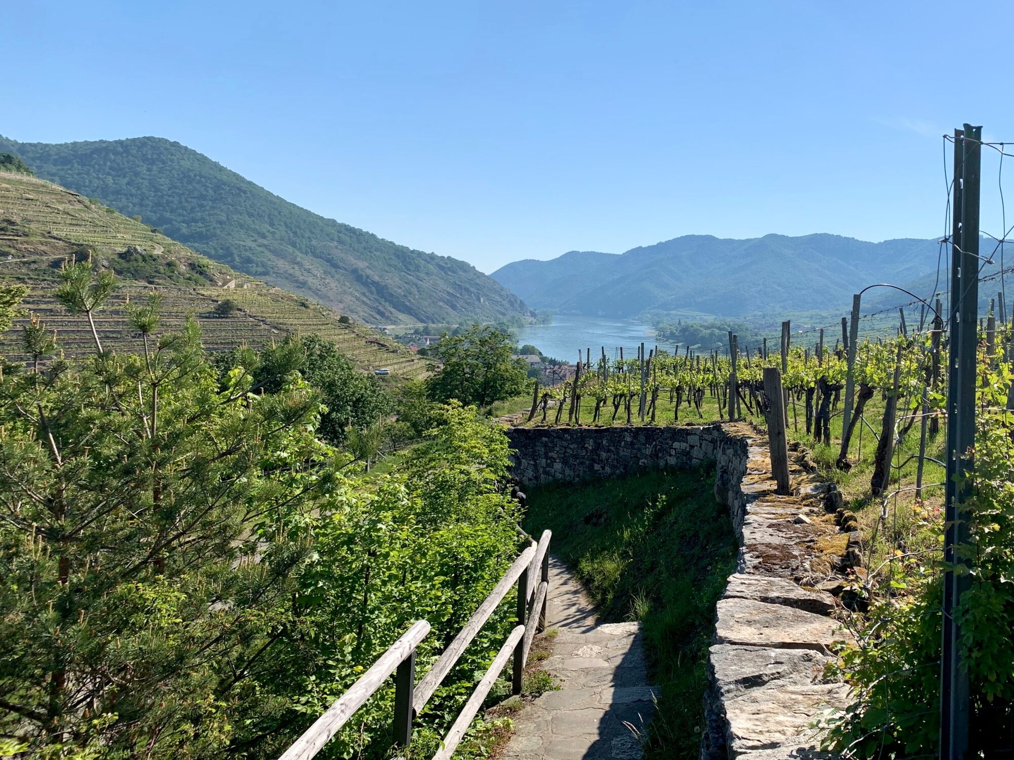
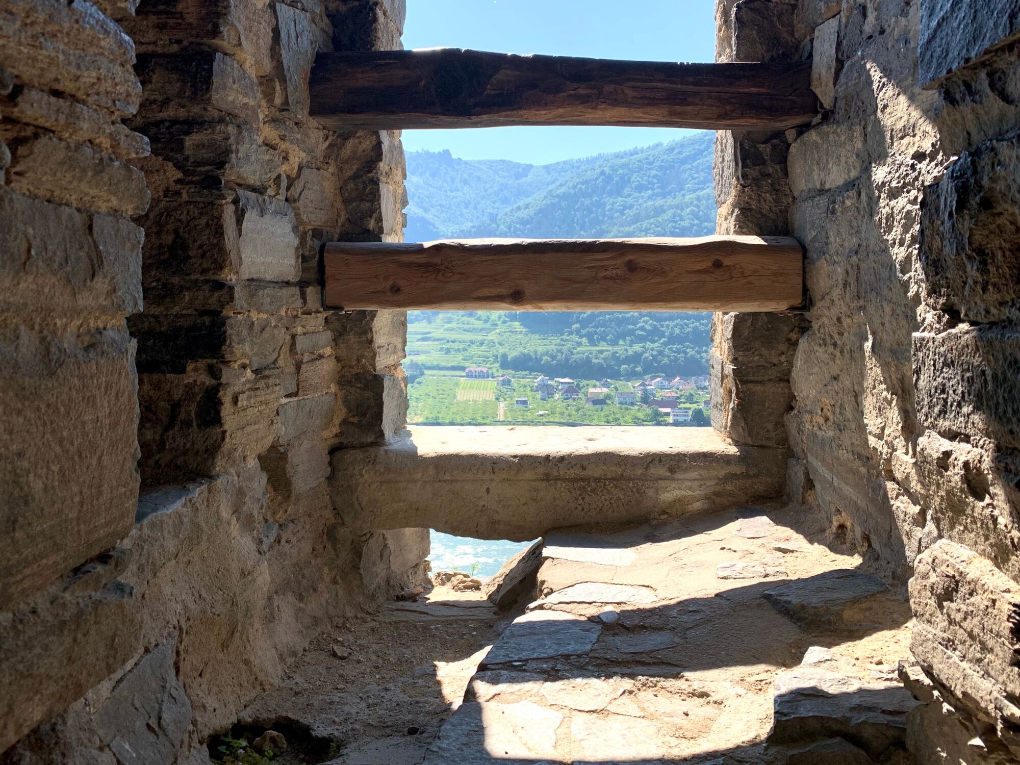
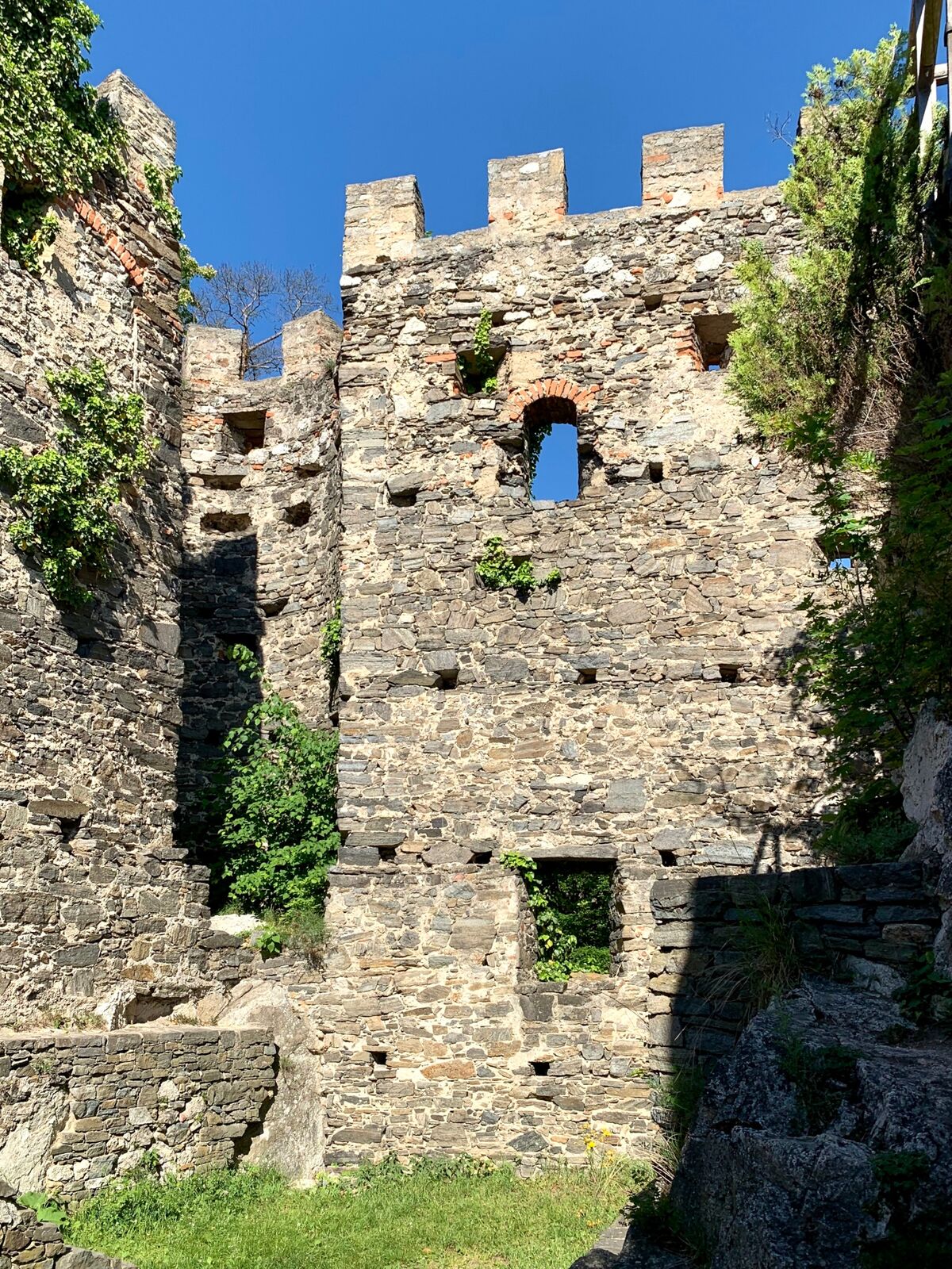
On the other side, it goes up towards the ruins and back towards the Danube. At the foot of the ruin, we park the bike and continue on foot to the ruin. The ruin is freely accessible. On the one hand you can let the old walls sink in and on the other you can enjoy the beautiful view in all directions, especially up and down the river Danube. In front of the gate to the ruin, a newly erected wooden lounger invites you to linger. To the ruins of Hinterhaus Castle, this is a small detour from the Danube Cycle Path that is worthwhile.
- Highest point
- 257 m
- Endpoint
-
Hinterhaus Castle Ruin
- Height profile
-

- Equipment
-
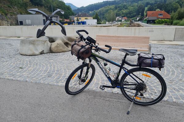
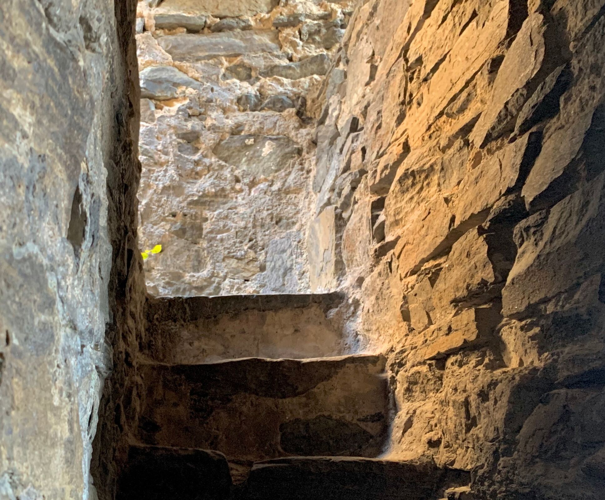
Climb the facility with sturdy shoes and pay attention to where you are going.
- Safety instructions
-
In the Hinterhaus Castle ruin itself it goes higher and higher. Steps follow steep ladder stairs. But you can also find it very nice further down.
- Tips
-
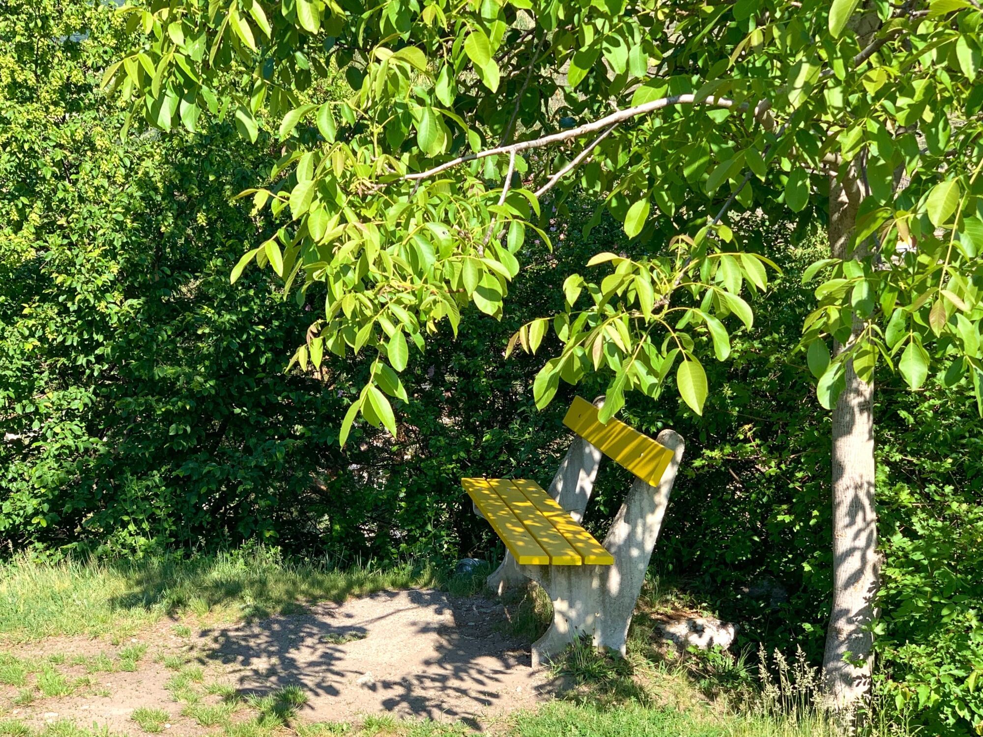
Bring something to drink and sit on a stone wall at the foot of the ruin, enjoying the breeze around your nose and the timeless view of the Wachau valley along the river Danube.
- Additional information
-
Today the Hinterhaus Castle ruins belong to the market town of Spitz. The castle ruins are maintained by the Spitz tourist office.
- Directions
-
By car on the B33 from Melk or Krems to Oberarnsdorf.
- Public transportation
- Parking
-
Free parking is available on the B33 main road in Oberarnsdorf.


-
-
AuthorThe tour Hinterhaus Castle Ruin is used by outdooractive.com provided.