© Tourismuszentrale Südmähren - Tomáš Hájek

© Tourismuszentrale Südmähren - Tomáš Hájek
© Tourismuszentrale Südmähren - J. Žemlík
© Tourismuszentrale Südmähren - Tomáš Hájek
© Tourismuszentrale Südmähren - J. Žemlík
© Tourismuszentrale Südmähren - Tomáš Hájek
© Tourismuszentrale Südmähren - JMK

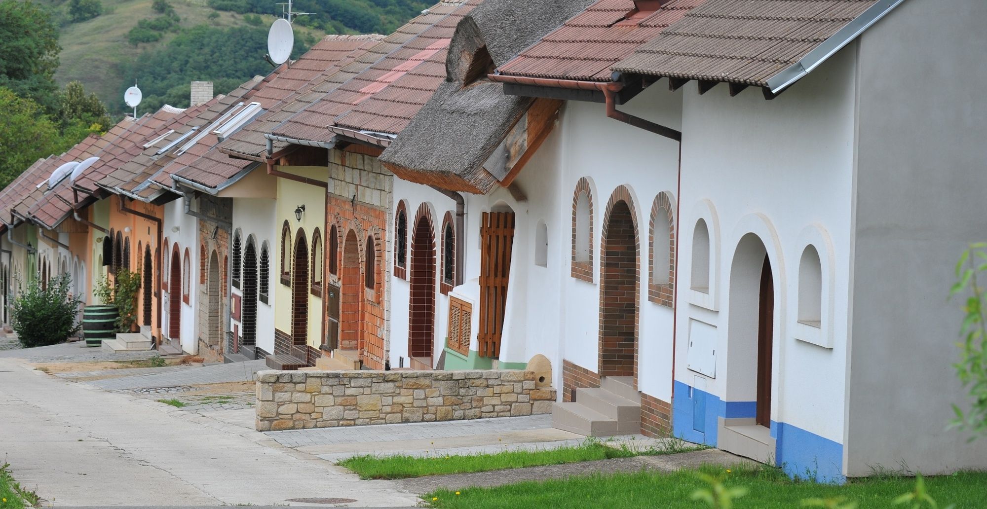
© Tourismuszentrale Südmähren - Igor Zehl
- Difficulty
-
medium
- Rating
-
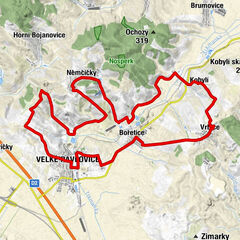
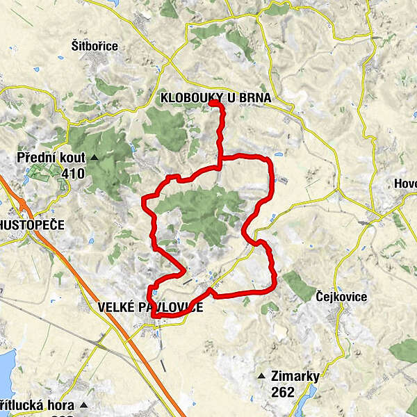
- Route
-
Klobouky u Brna0.0 kmsv. Vavřinec (kostel)0.2 kmBrumovice6.9 kmKobels11.2 kmSkalka12.2 kmWrbitz13.4 kmKostel svatého Jiljí13.4 kmRestaurace Vrbice13.7 kmBoretitz17.3 kmGroß Pawlowitz20.6 kmNové hory (306 m)25.0 kmKostel Navštívení Panny Marie25.8 kmKlein Niemtschitz26.2 kmBoleradický Mlýn30.8 kmMorkůvky32.9 kmsv. Vavřinec (kostel)37.1 kmKlobouky u Brna37.3 km
- Best season
-
JanFebMarAprMayJunJulAugSepOctNovDec
- Highest point
- 317 m
- Height profile
-
 © outdooractive.com


- Author
-
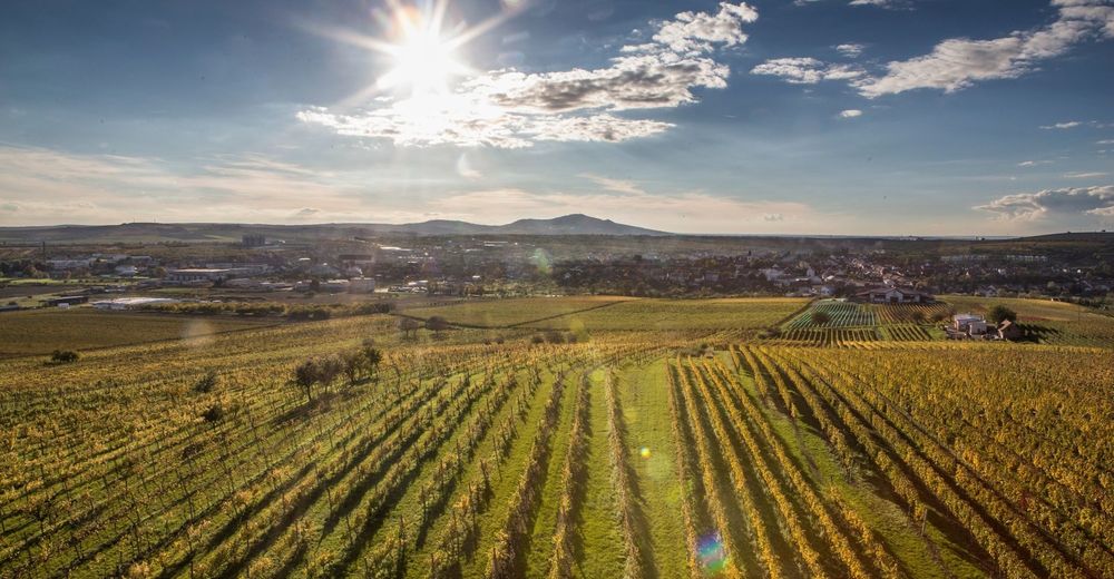
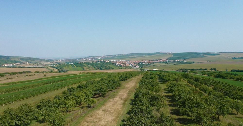
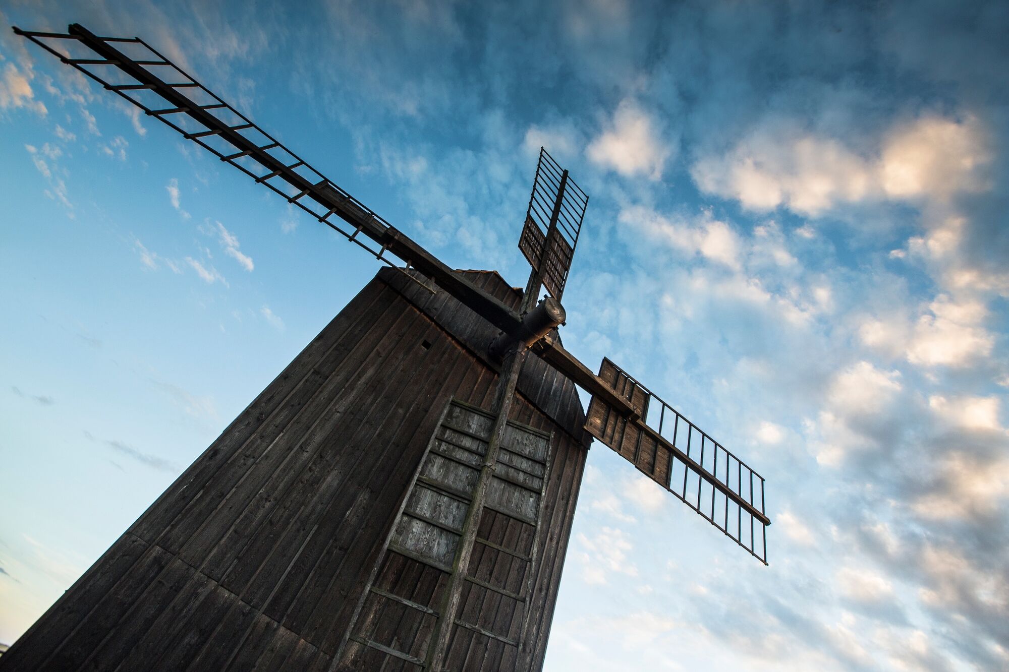
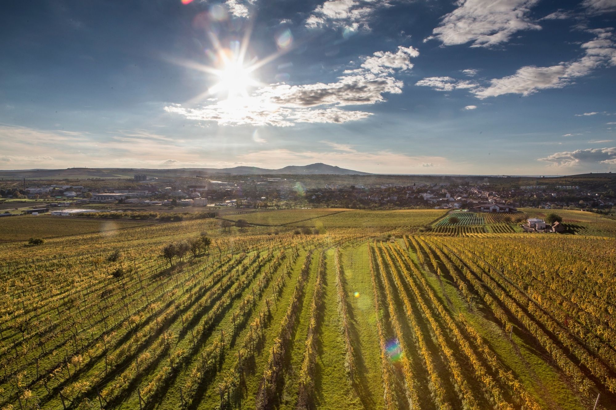
The tour The landscape of windmills and wine is used by outdooractive.com provided.
GPS Downloads


General info
Refreshment stop
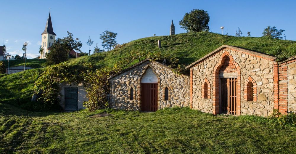
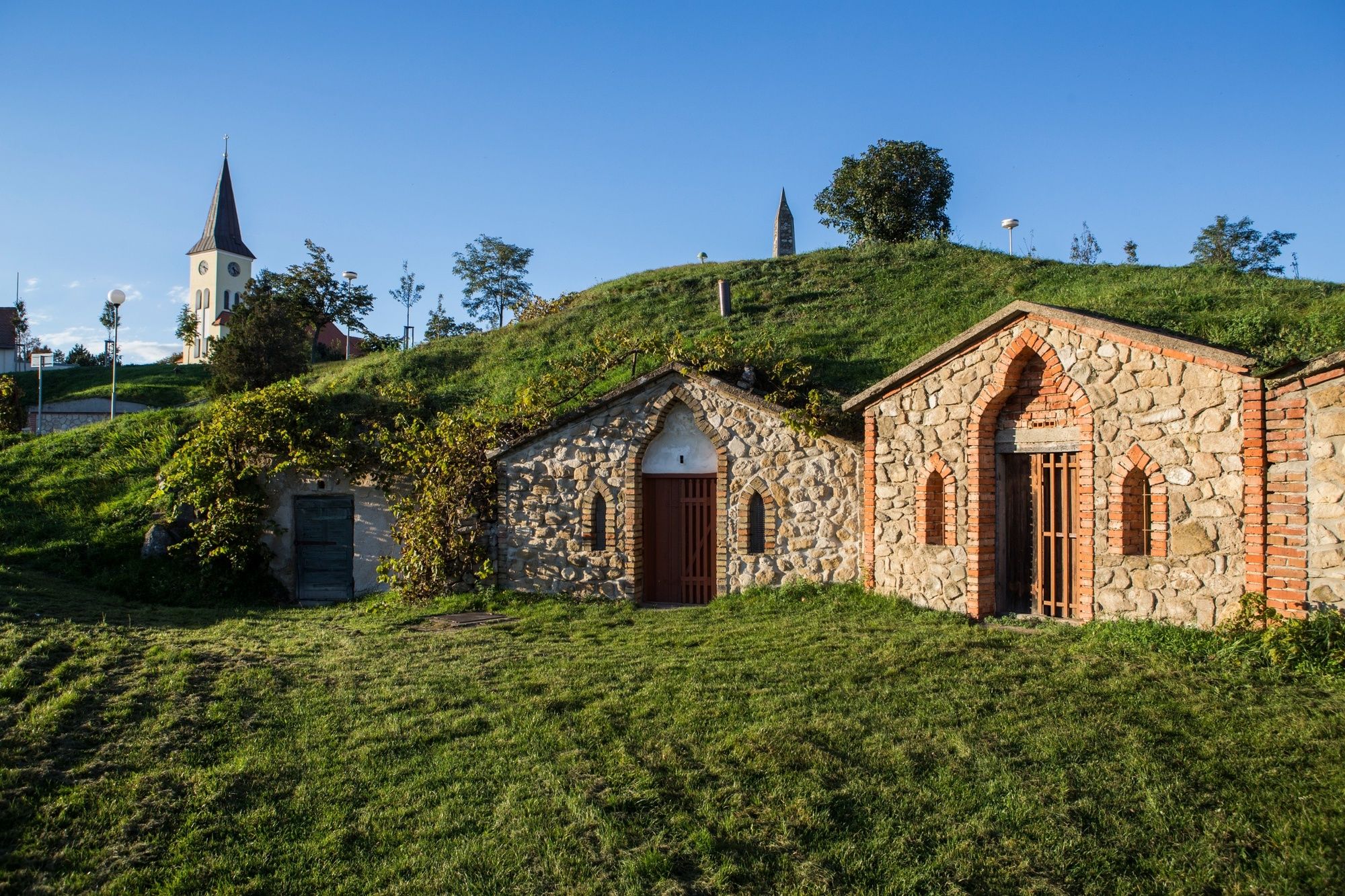
Cultural/Historical
Flora
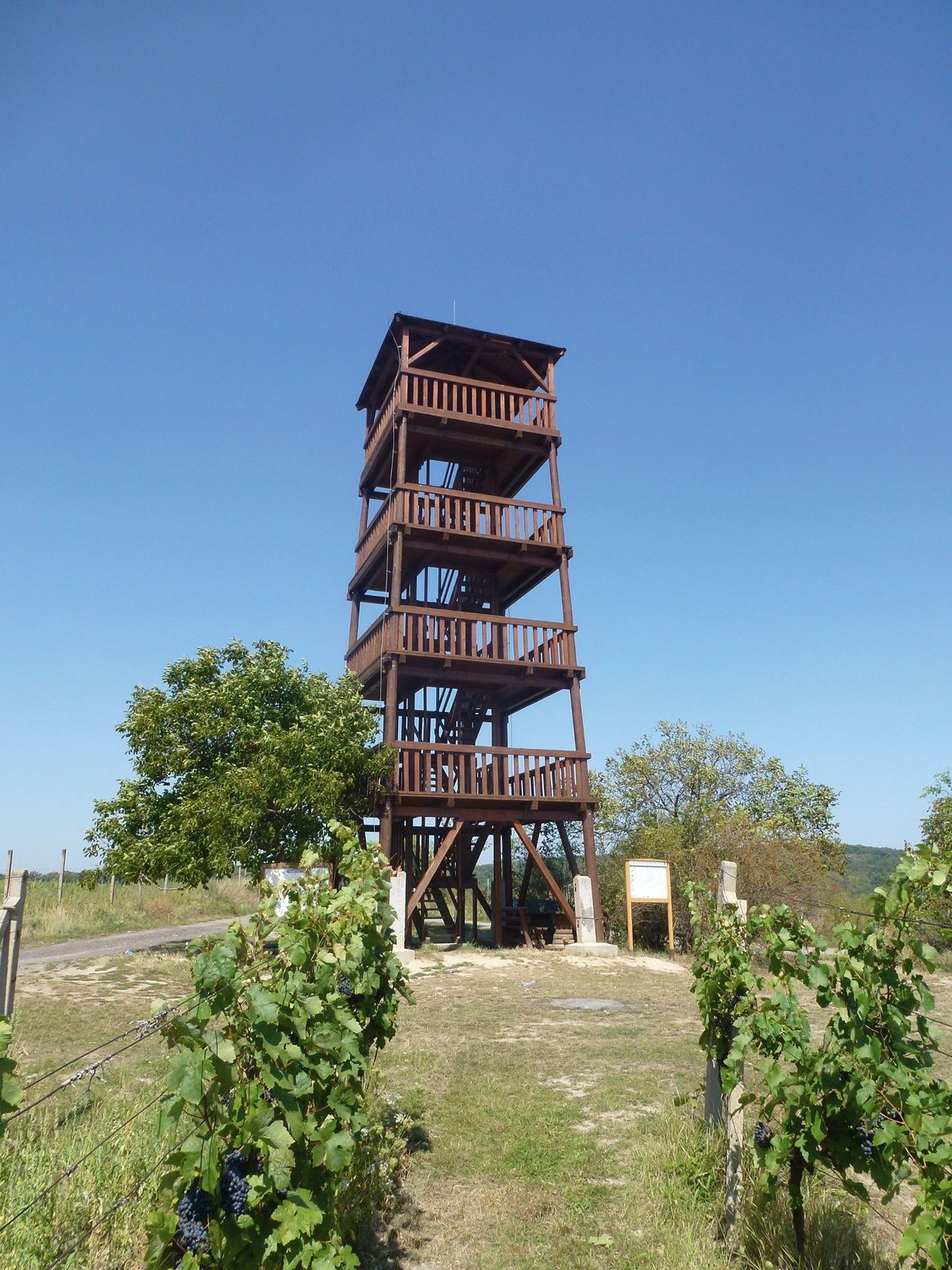
A lot of view
Other tours in the regions
-
Südmähren
57
-
Mährische Slowakei
28