© Donau Niederösterreich, Köck - Daniela Wagner

© Donau Niederösterreich - Tourismusbüro Carnuntum-Marchfeld - NÖ Werbung, Andreas Hofer
Tour data
44km
144
- 199m
85hm
76hm
03:00h

- Difficulty
-
medium
- Rating
-
- Route
-
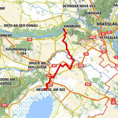
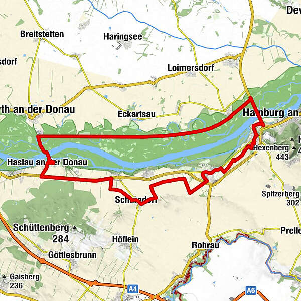
Stopfenreuth3.6 kmHumers Uferhaus19.3 kmHaslauer Hof20.9 kmHaslau an der Donau (186 m)21.1 kmRegelsbrunn26.7 kmScharndorf (187 m)29.7 kmPfarrkirche Scharndorf30.1 kmImbiss Römische Münzen37.8 kmAnnakapelle38.1 kmPetronell-Carnuntum38.4 kmGasthof Heidentor38.5 kmPizza Service Flame38.7 kmBad Deutsch-Altenburg (158 m)43.1 km
- Best season
-
JanFebMarAprMayJunJulAugSepOctNovDec
- Highest point
- 199 m
- Endpoint
-
Bad Deutsch-Altenburg, Kurpark
- Height profile
-

- Author
-
The tour Nationalpark Tour Donau-Auen is used by outdooractive.com provided.
GPS Downloads


General info
Refreshment stop
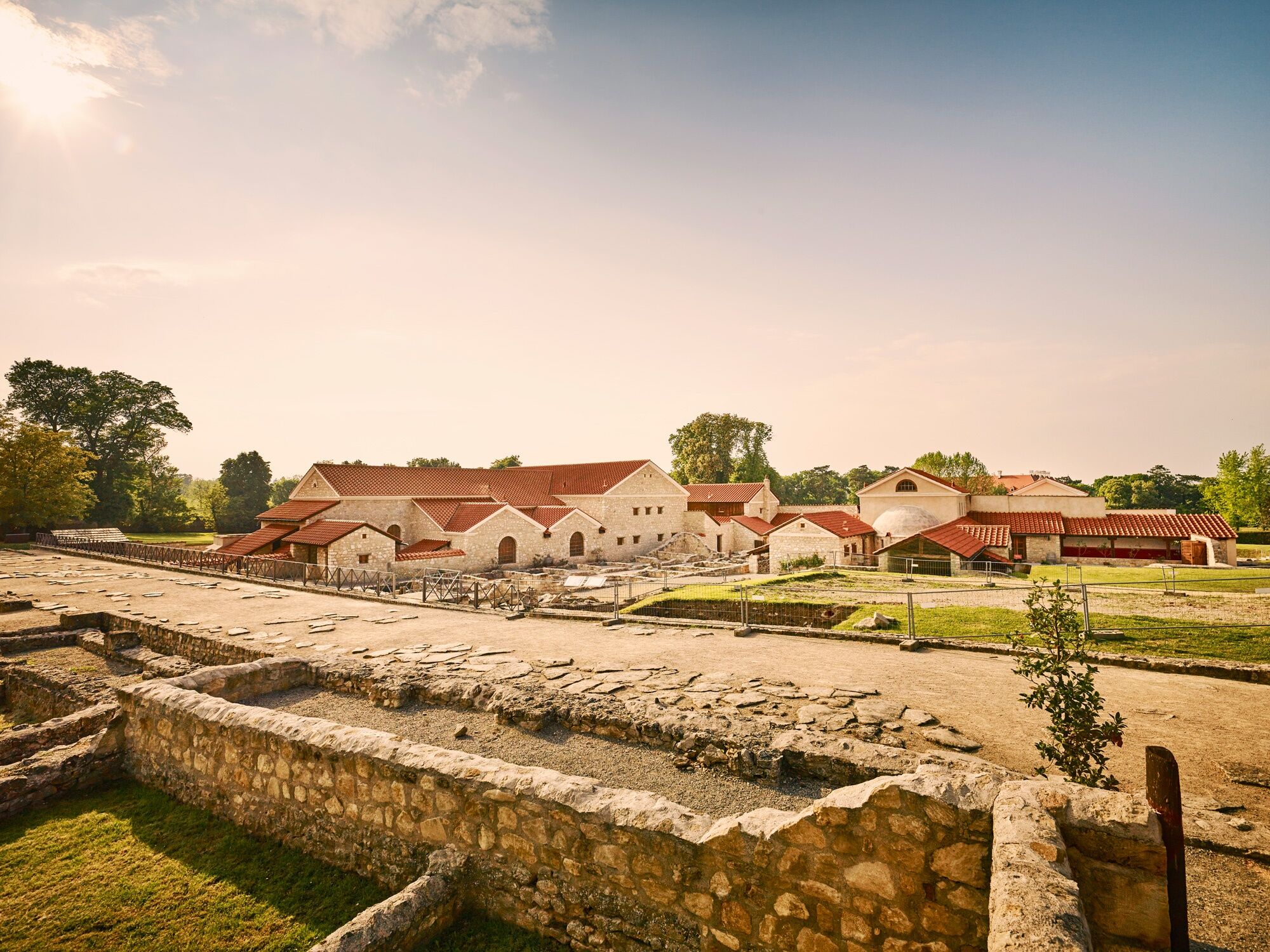
Cultural/Historical
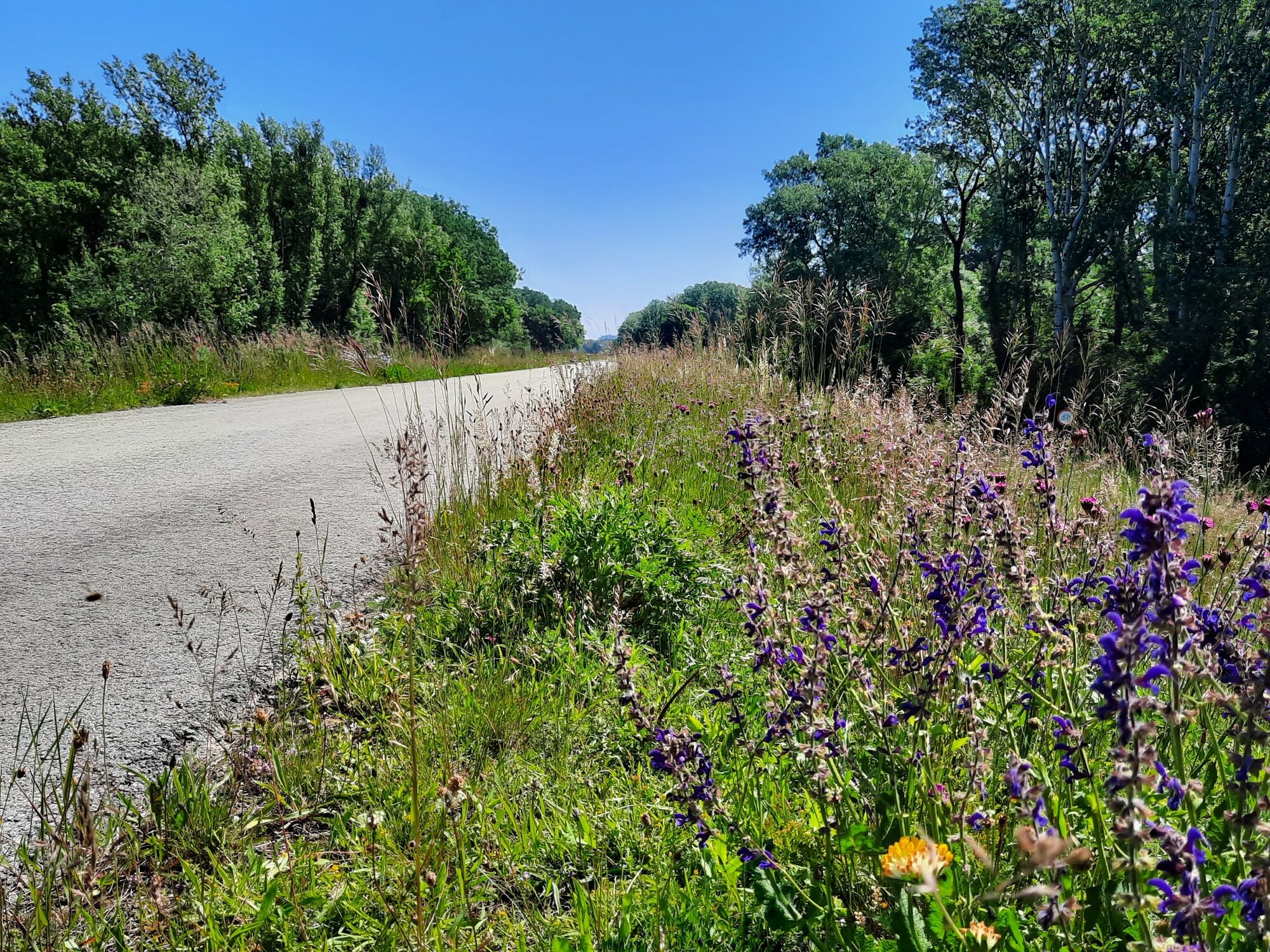
Flora
Fauna
Other tours in the regions