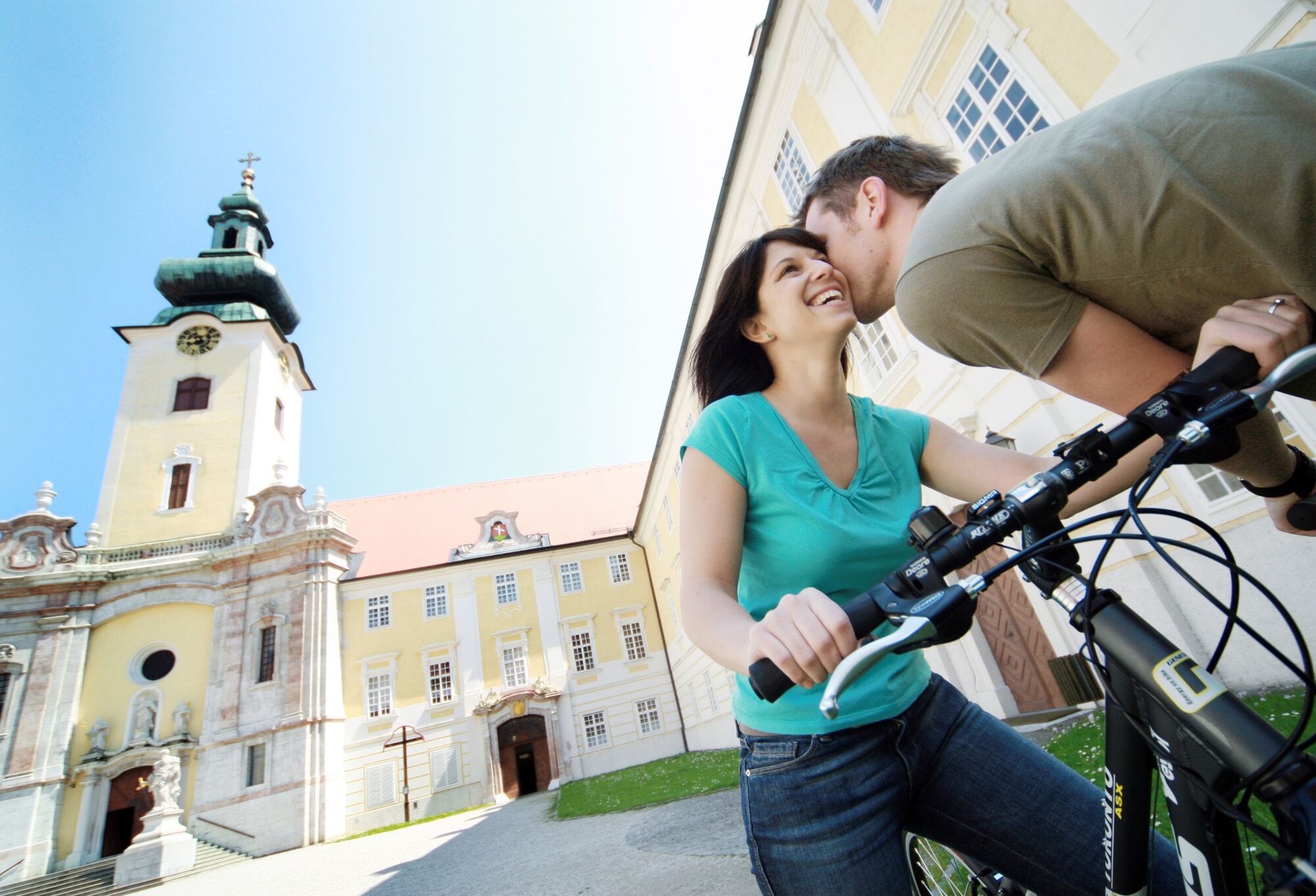
© weinfranz.at - Mostviertel Tourismus GmbH

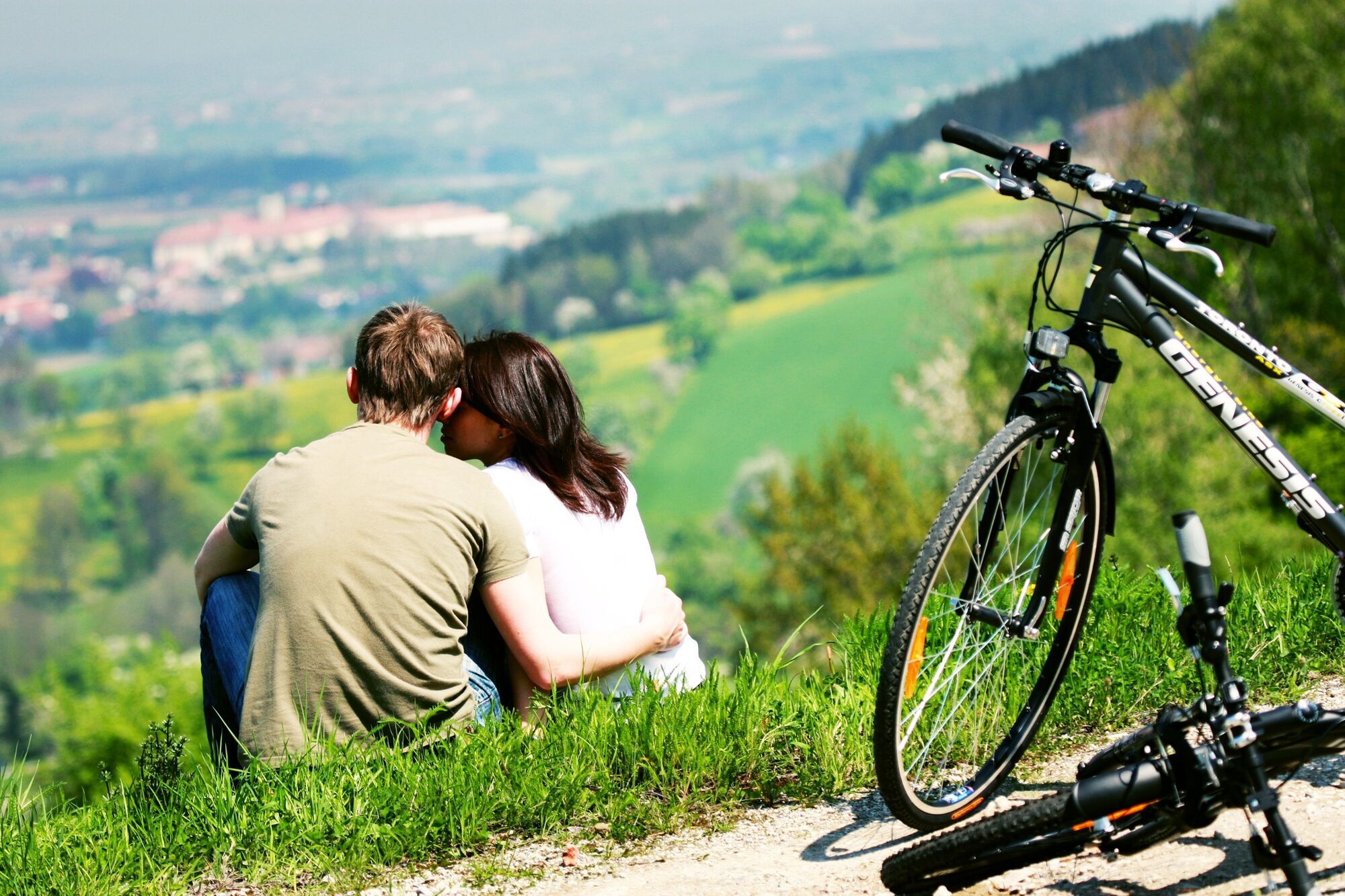
© weinfranz.at - Mostviertel Tourismus GmbH

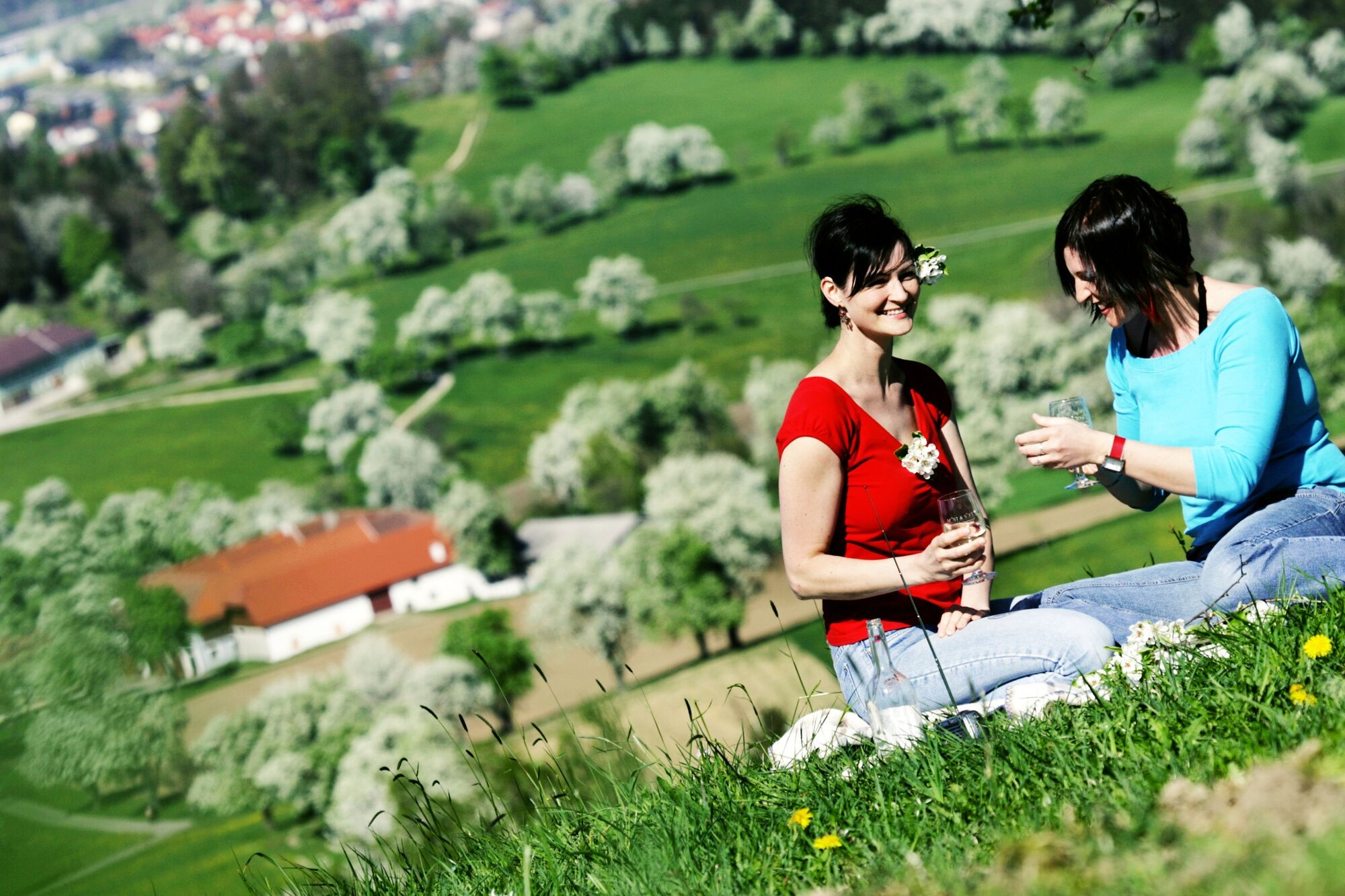
© weinfranz.at - Mostviertel Tourismus GmbH
- Brief description
-
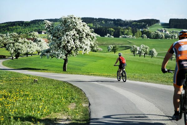
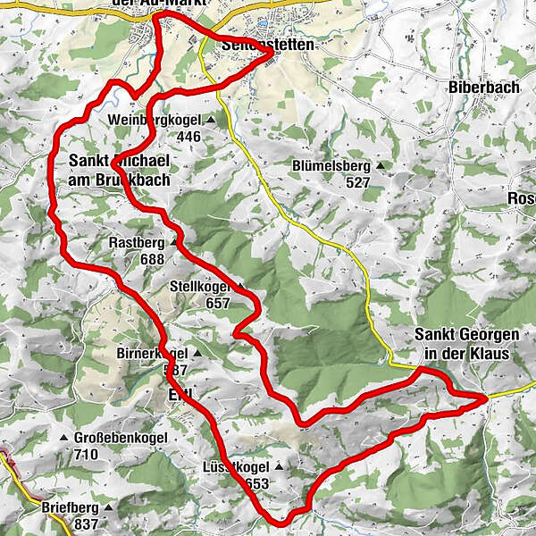
Aussichtsreiche Tour für ambitionierte Sportler und E-Biker.
- Difficulty
-
difficult
- Rating
-
- Route
-
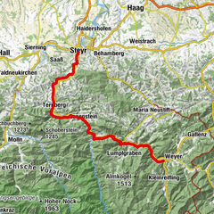
Seitenstetten0.1 kmSankt Peter in der Au-Markt2.1 kmHohenreith8.9 kmGasthaus Leitner10.2 kmErtl12.8 kmPfarrkirche Ertl12.8 kmGasthaus Lohnecker12.9 kmWieserhöhe (534 m)22.6 kmStellkogel (657 m)28.8 kmRastberg (688 m)30.2 kmSankt Michael am Bruckbach32.2 kmGasthof Mitterböck32.2 kmSeitenstetten36.7 km
- Best season
-
JanFebMarAprMayJunJulAugSepOctNovDec
- Highest point
- 691 m
- Endpoint
-
Stift Seitenstetten
- Height profile
-

- Author
-
The tour Birnenblick-Radroute is used by outdooractive.com provided.
GPS Downloads


General info
Refreshment stop
Cultural/Historical
A lot of view
Other tours in the regions
-
Traunviertel
134
-
Moststraße
60
-
Ertl
15