Tour data
7.72km
210
- 260m
62hm
44hm
00:25h
- Brief description
-
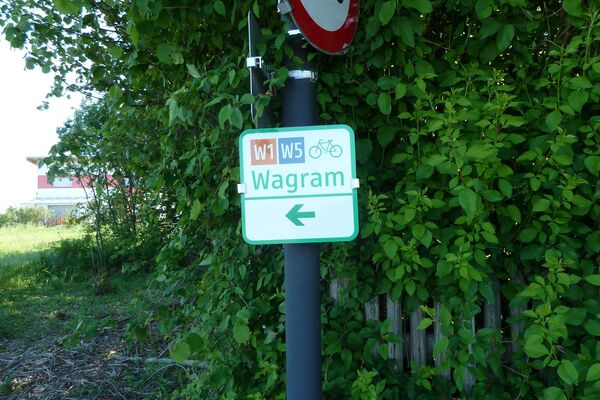
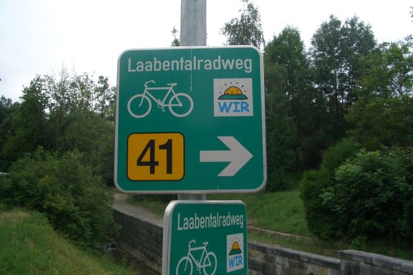
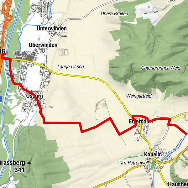
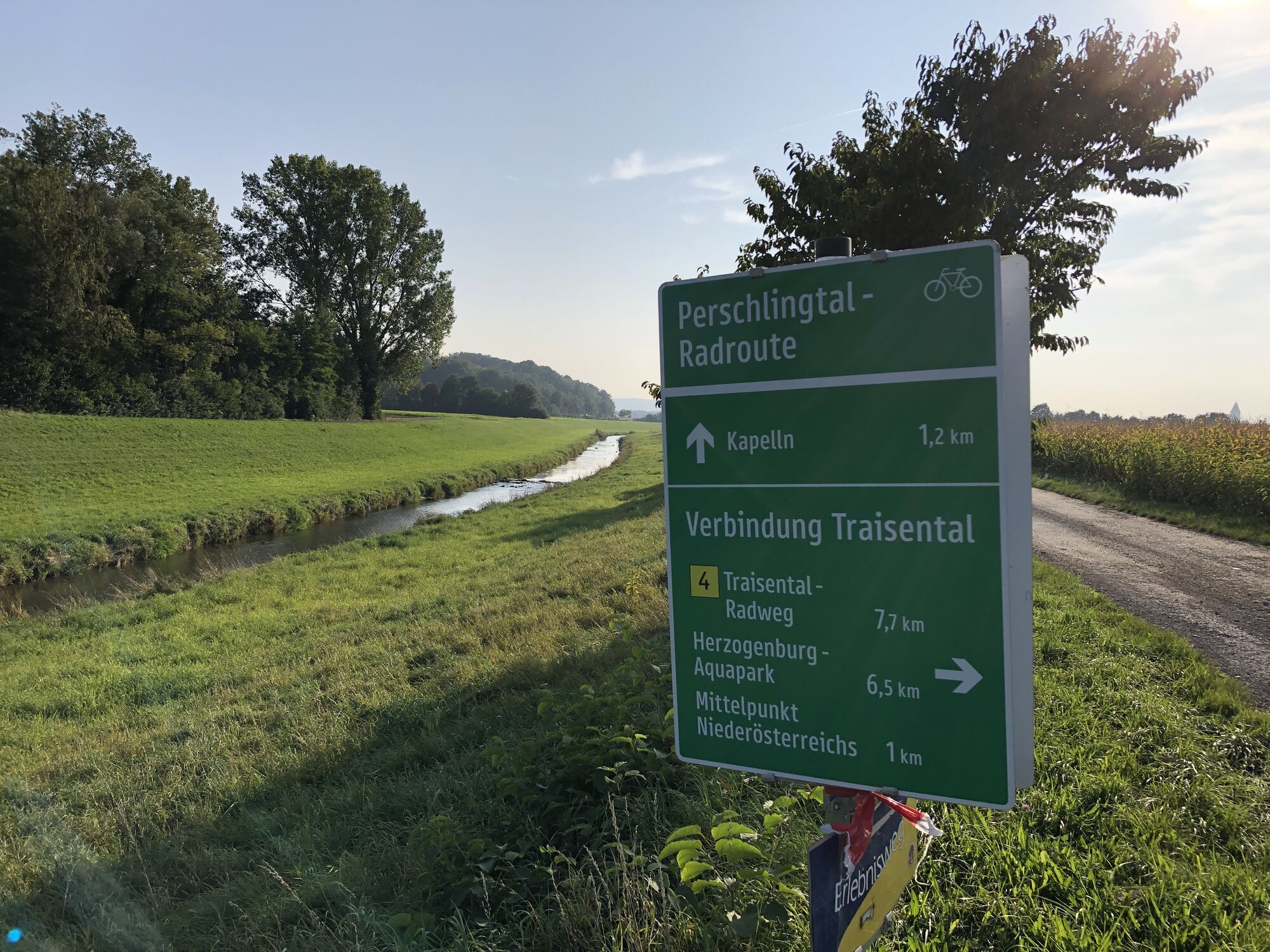
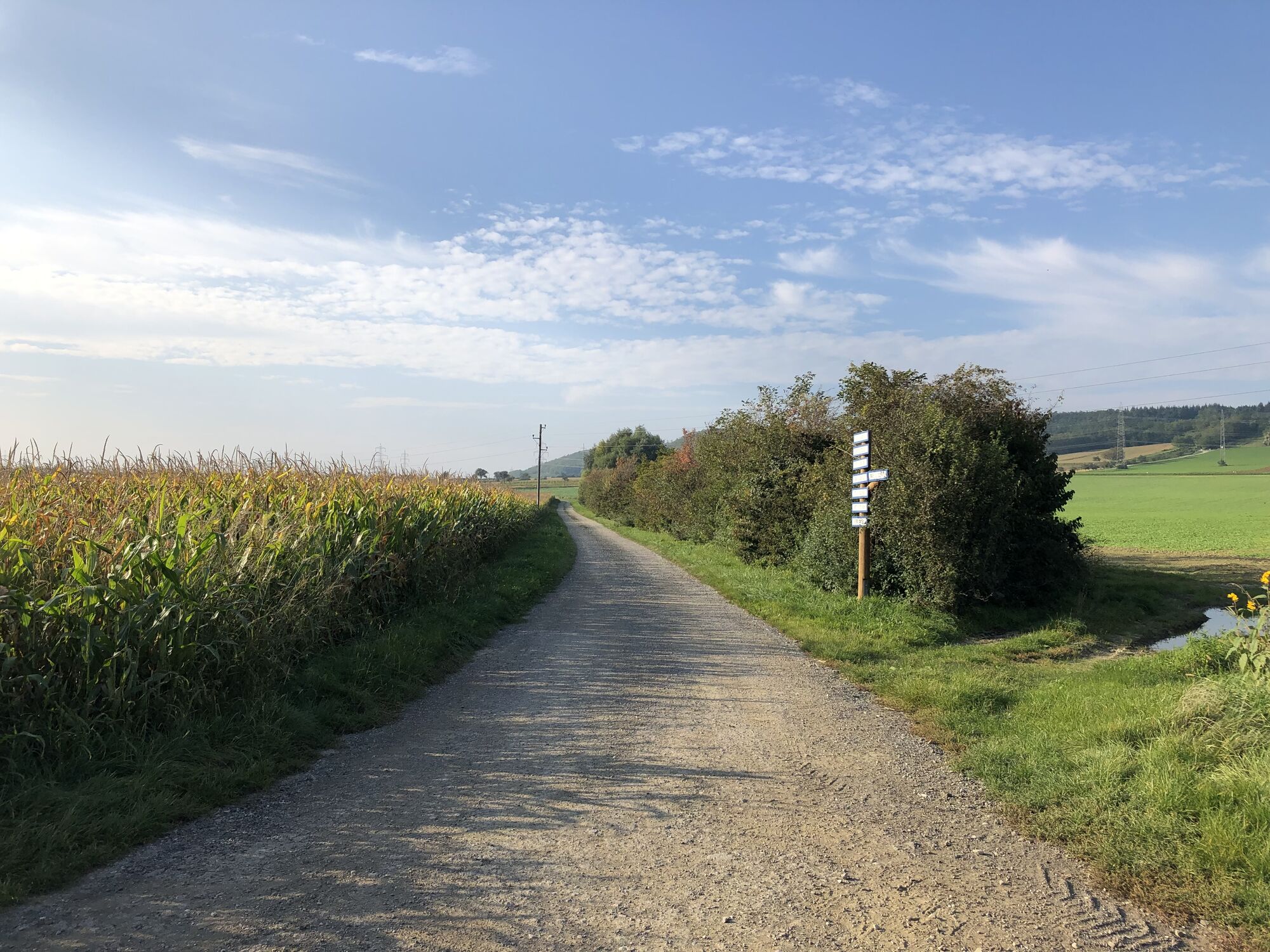
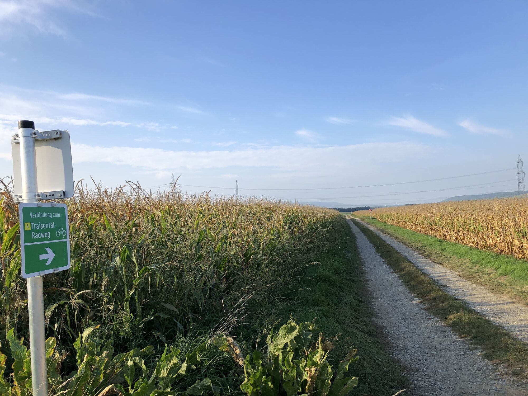
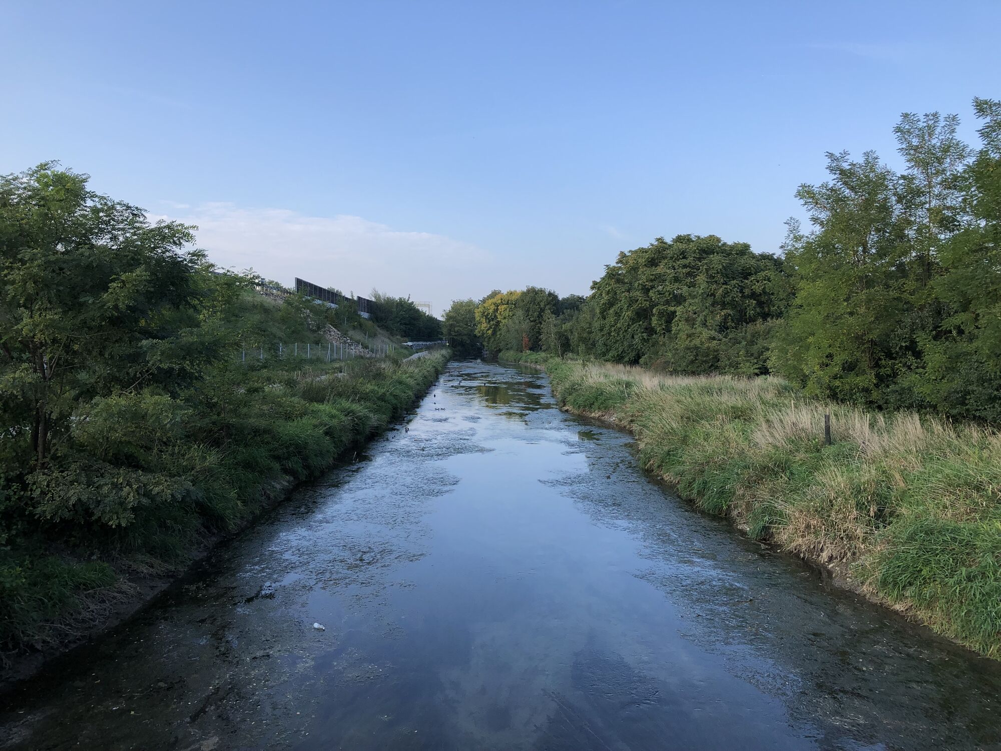
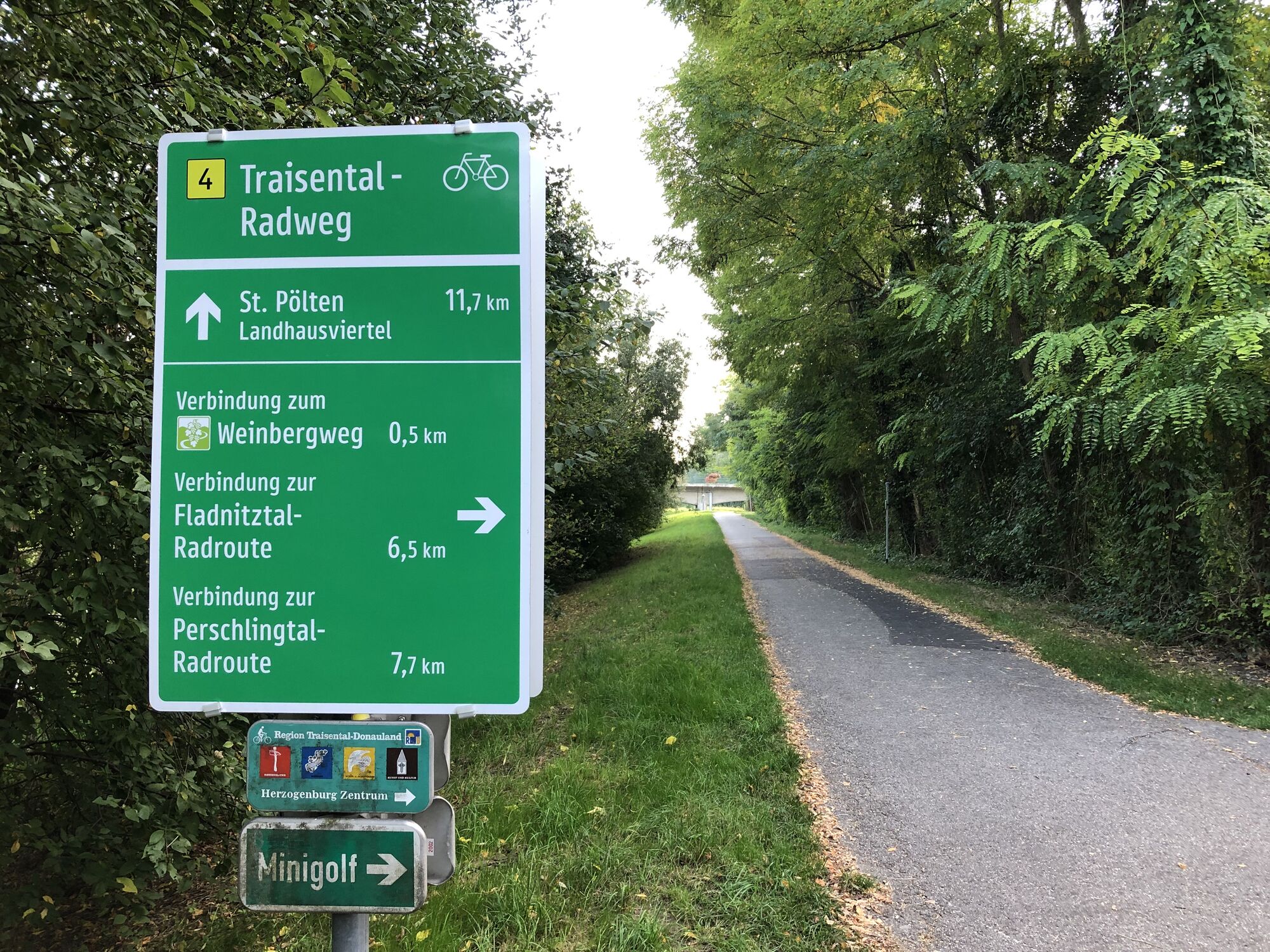
Markierte Verbindung vom Perschlingtal Radweg zum Traisental-Radweg
- Difficulty
-
easy
- Rating
-
- Route
-
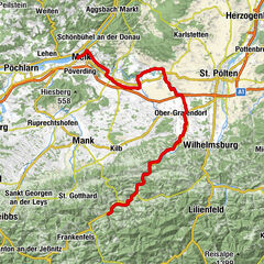
Etzersdorf2.0 kmOssarn5.8 kmSporthallenrestaurant6.7 kmHerzogenburg7.5 km
- Best season
-
JanFebMarAprMayJunJulAugSepOctNovDec
- Highest point
- 260 m
GPS Downloads


Surfaces
Asphalt
(60%)
Gravel
(40%)
Forest
Mountain paths
Single trails
Trial
Traffic
Other tours in the regions