Tour data
10.29km
205
- 256m
69hm
79hm
02:30h
- Brief description
-
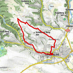
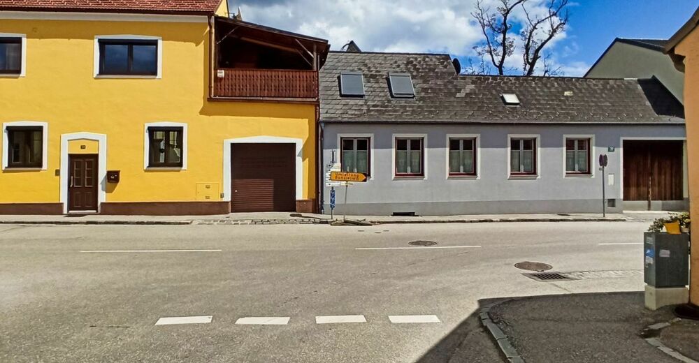
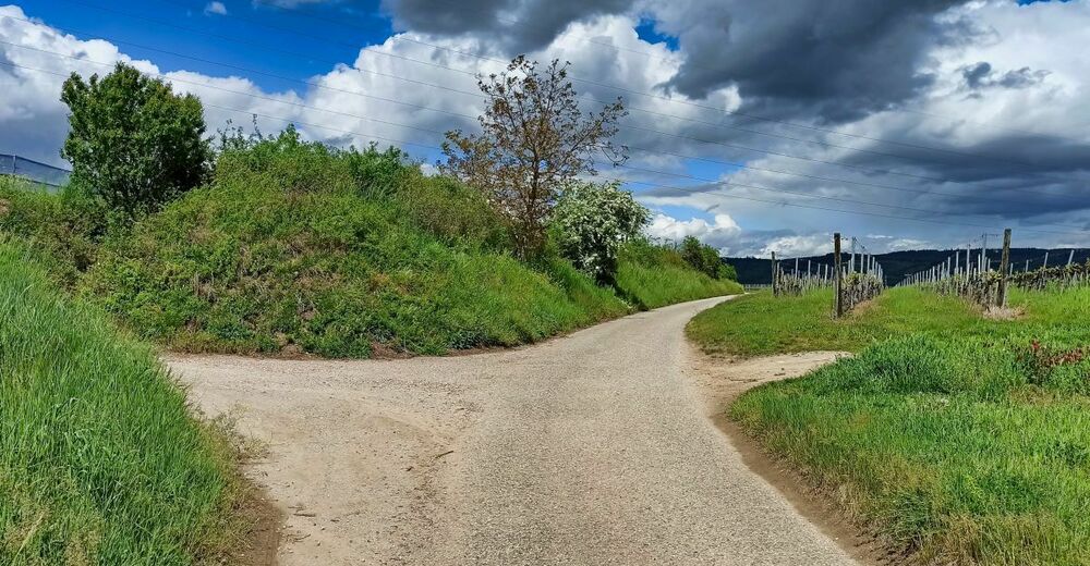
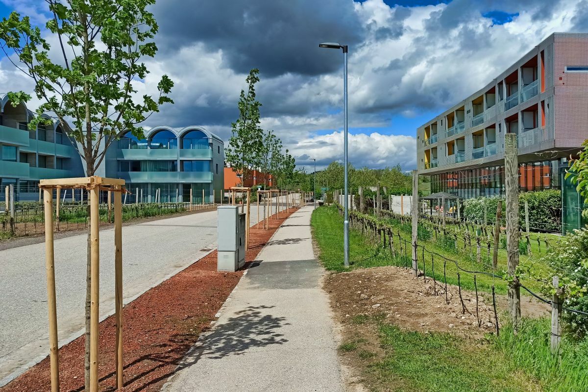
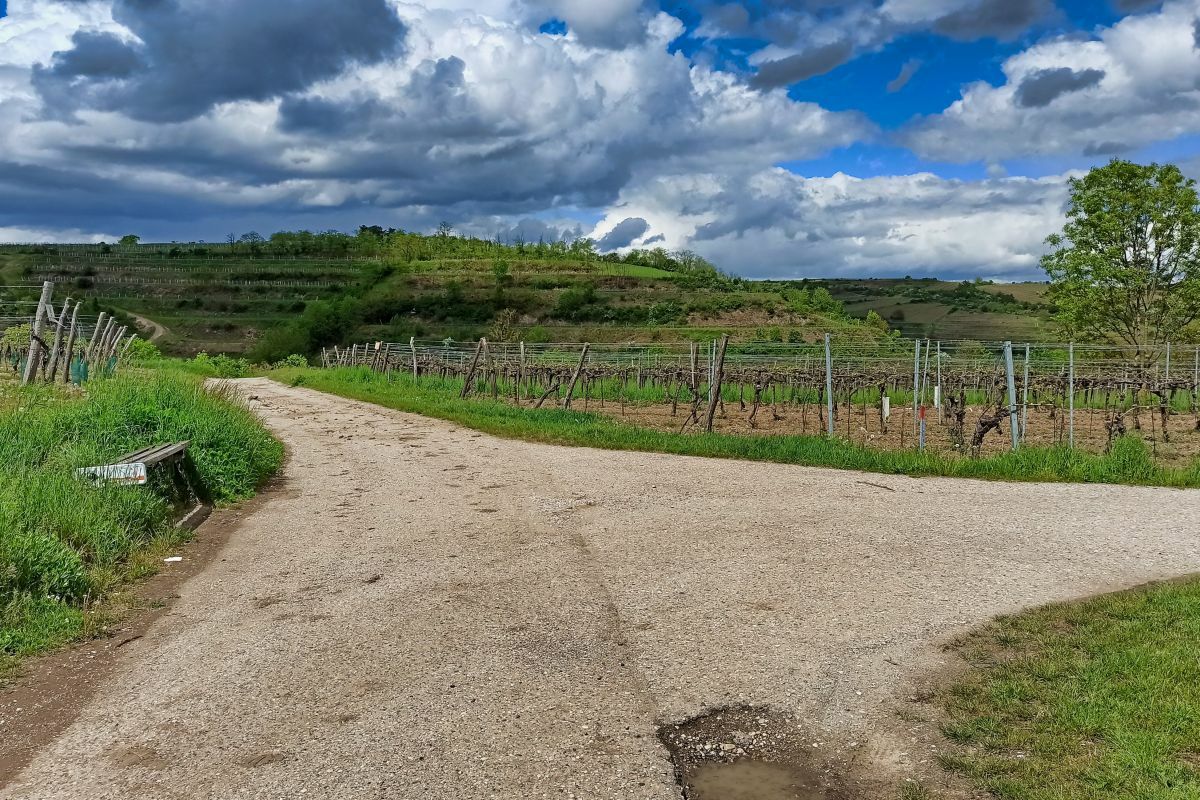
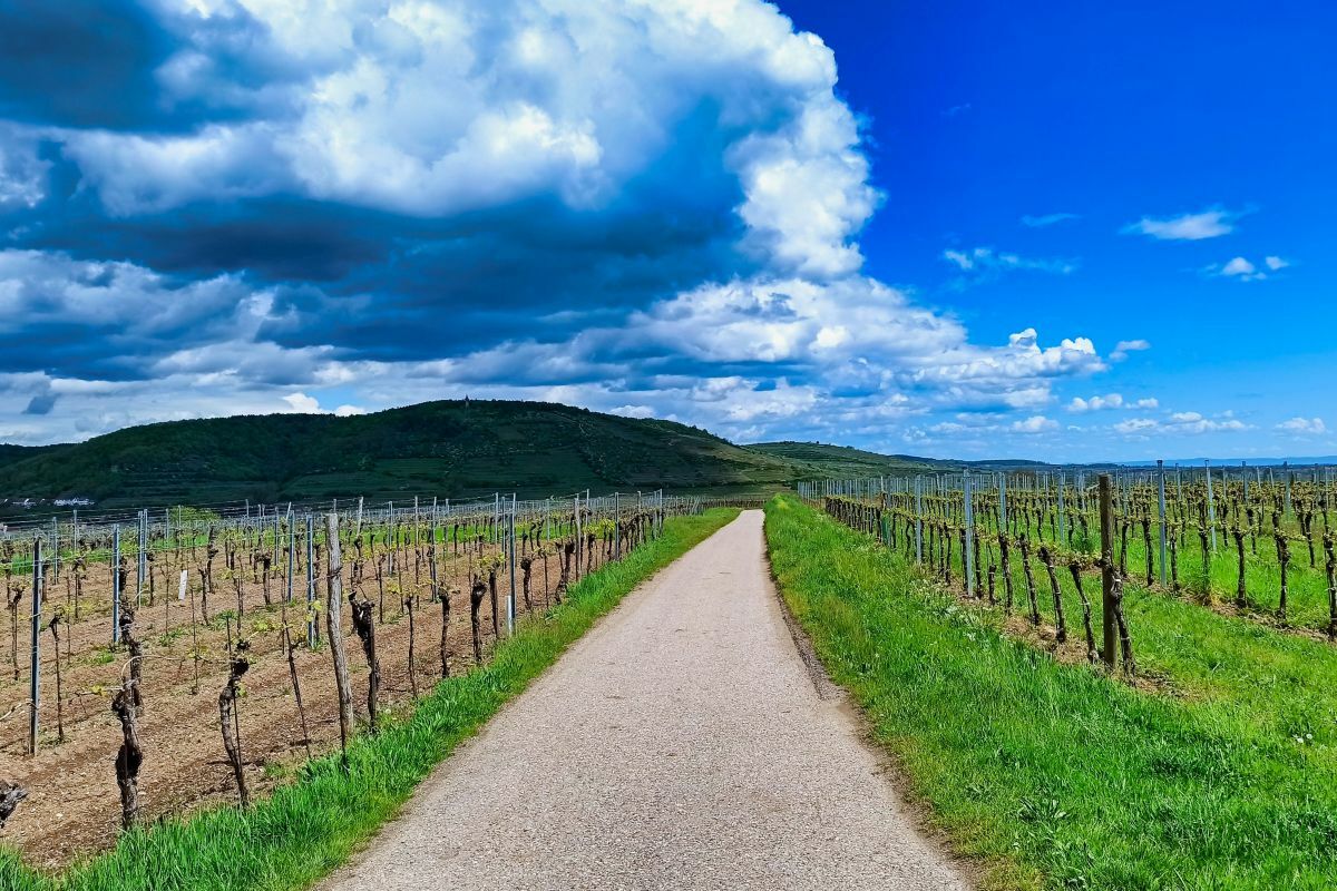
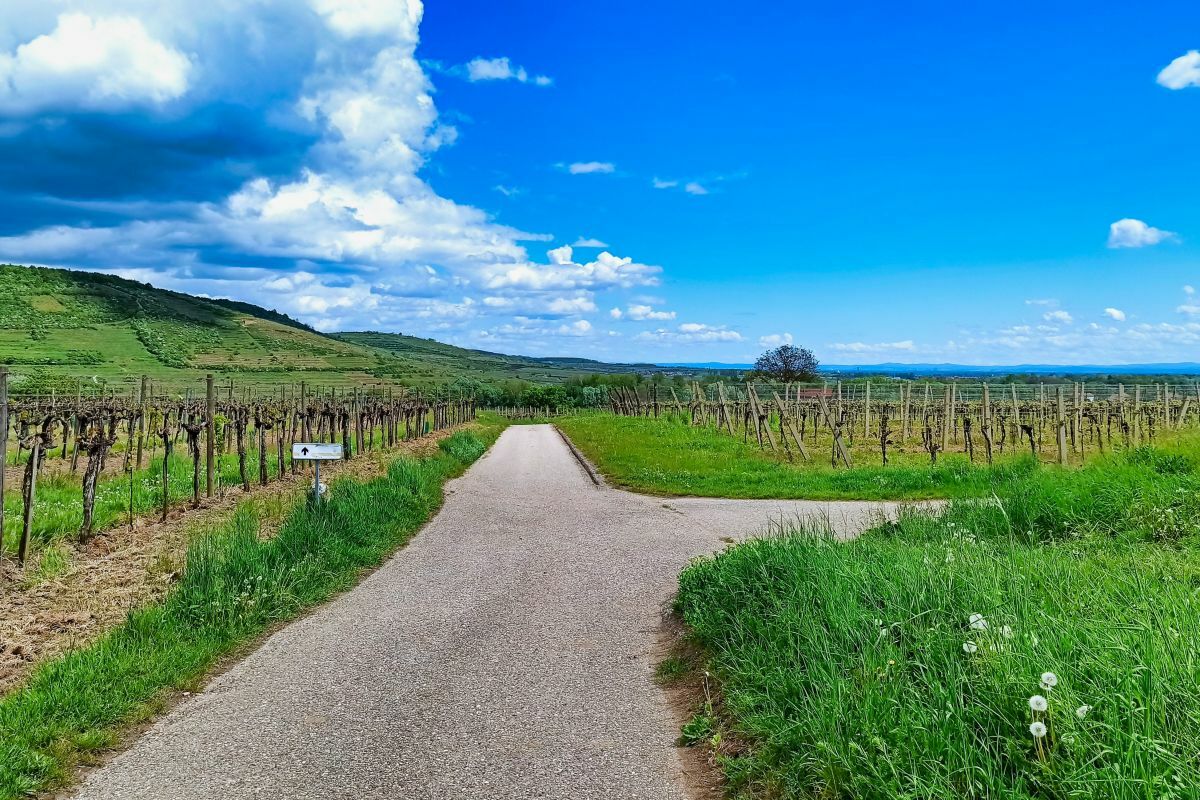
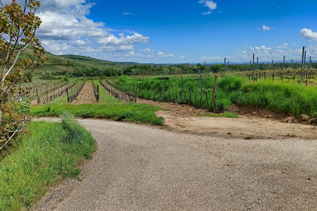
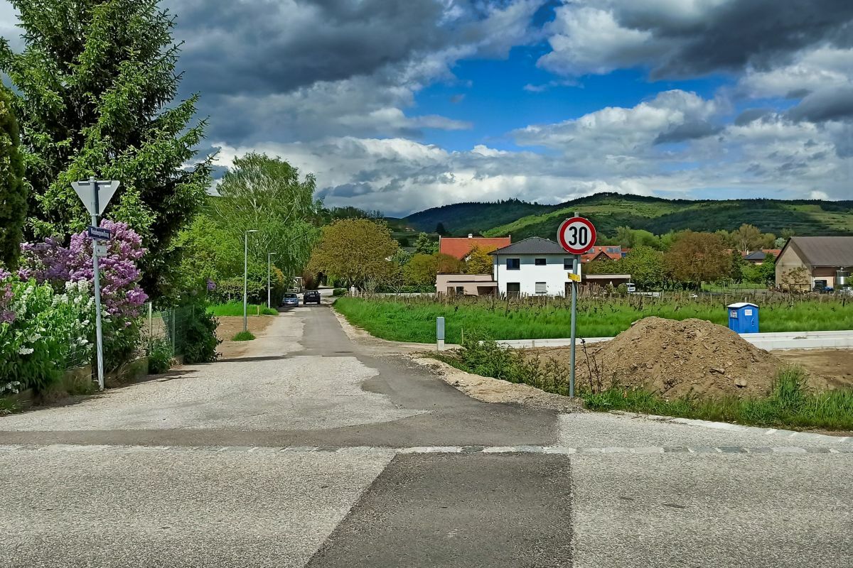
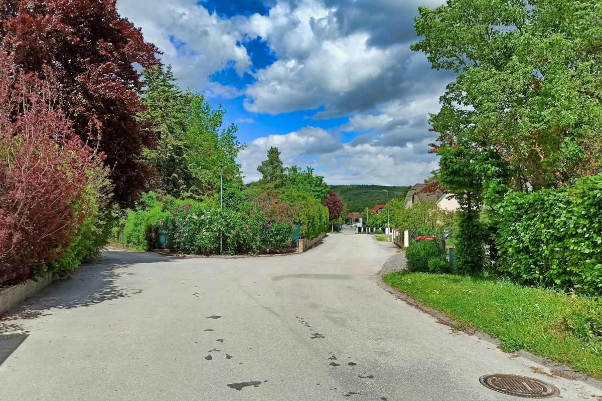
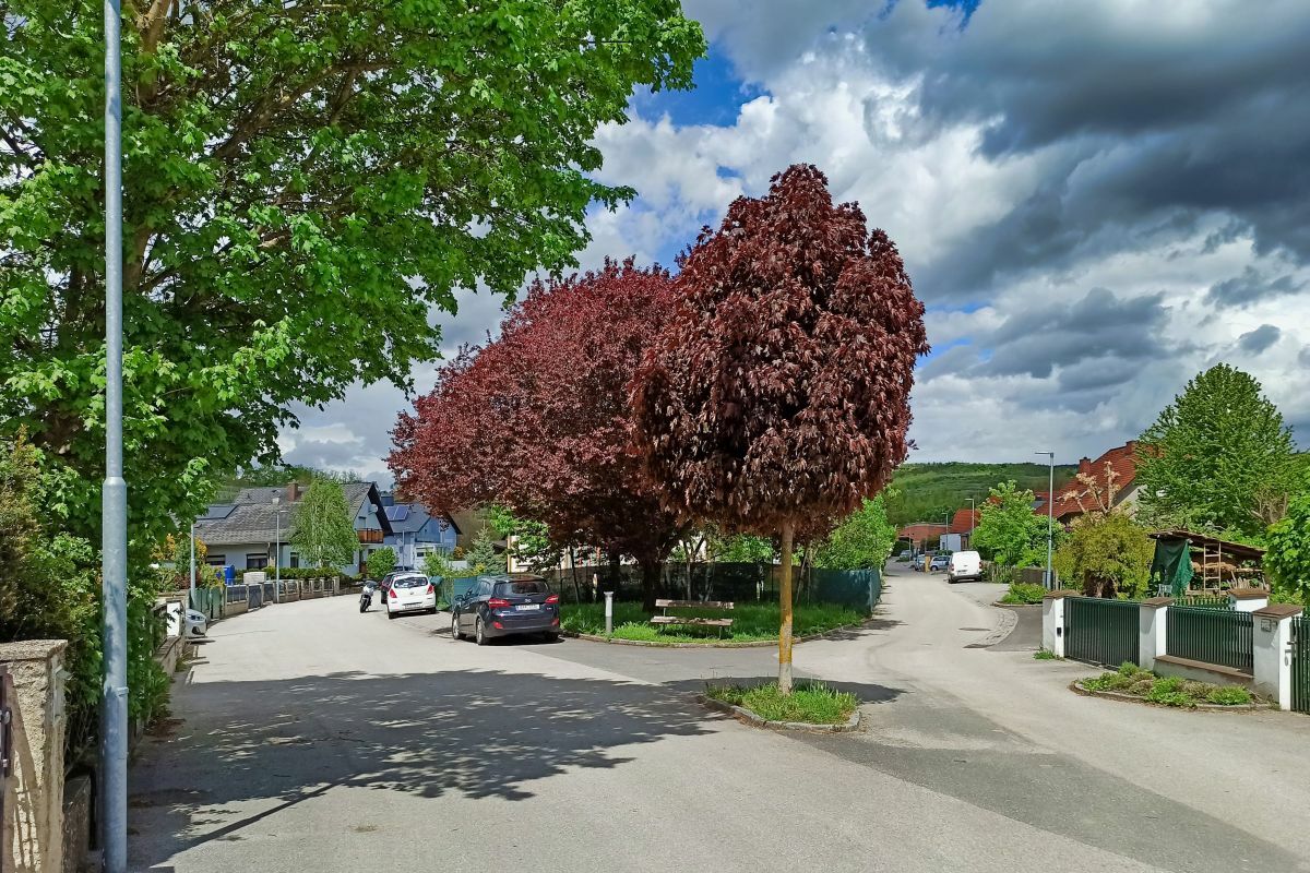
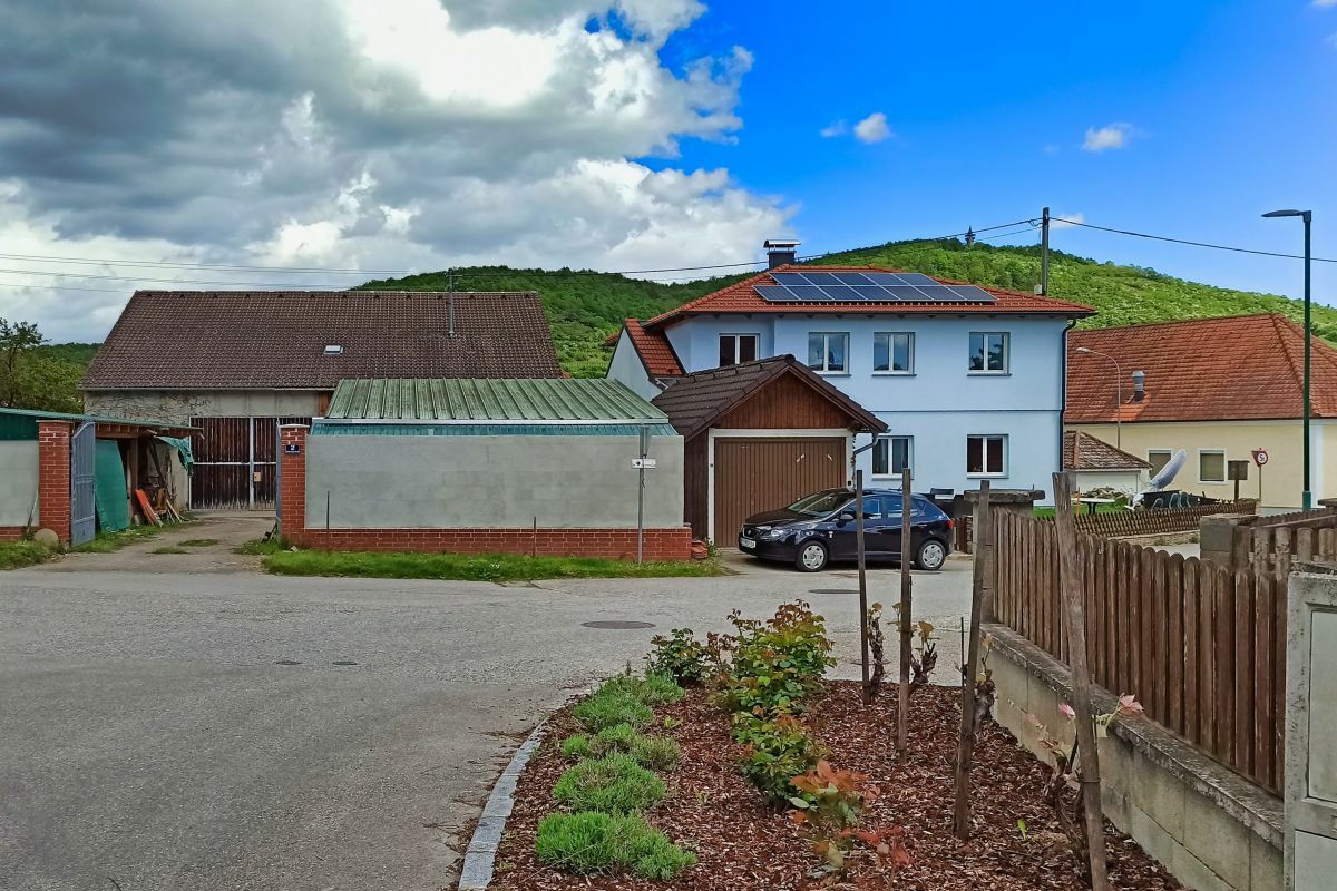
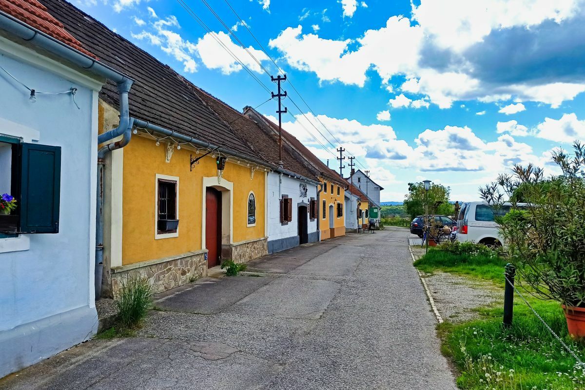
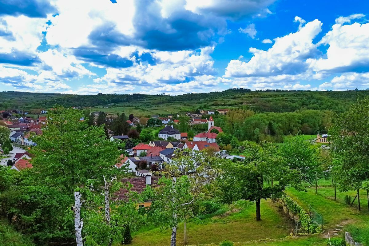
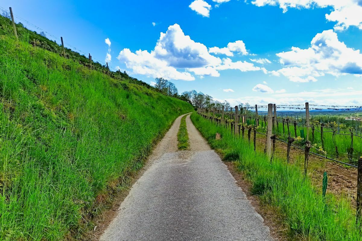
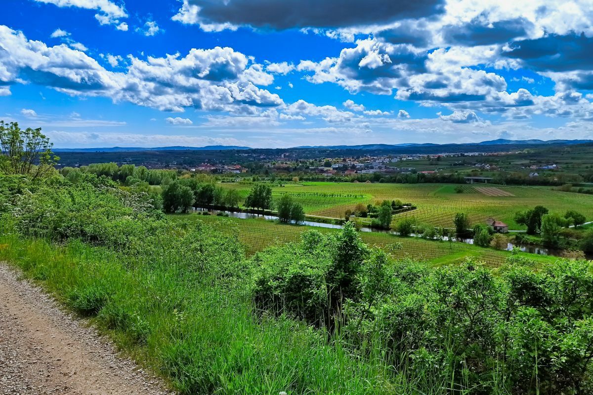
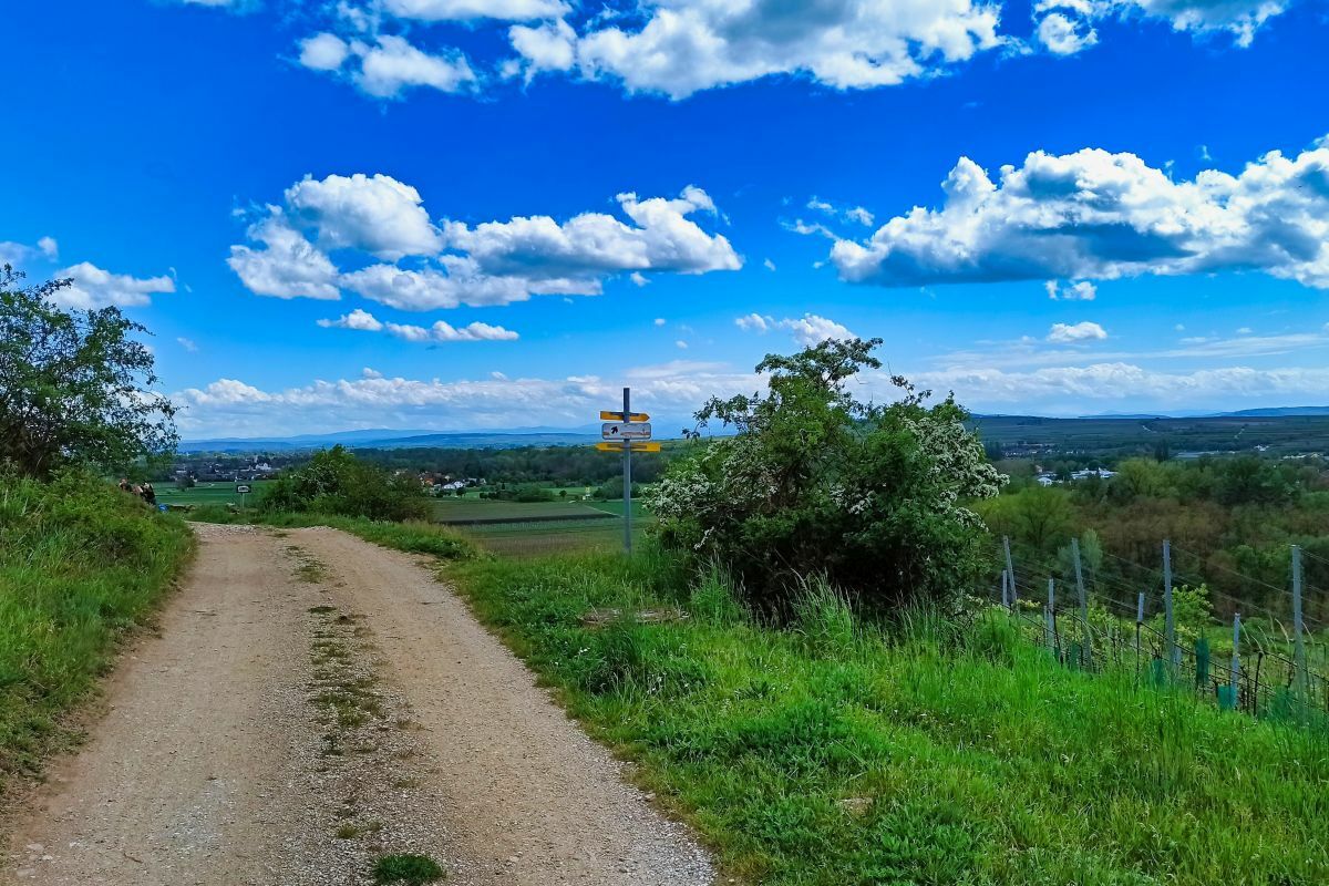
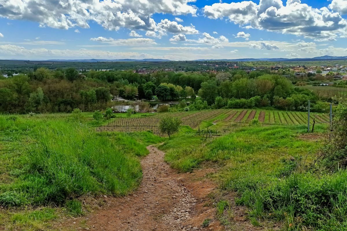
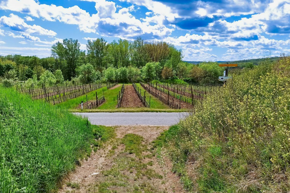
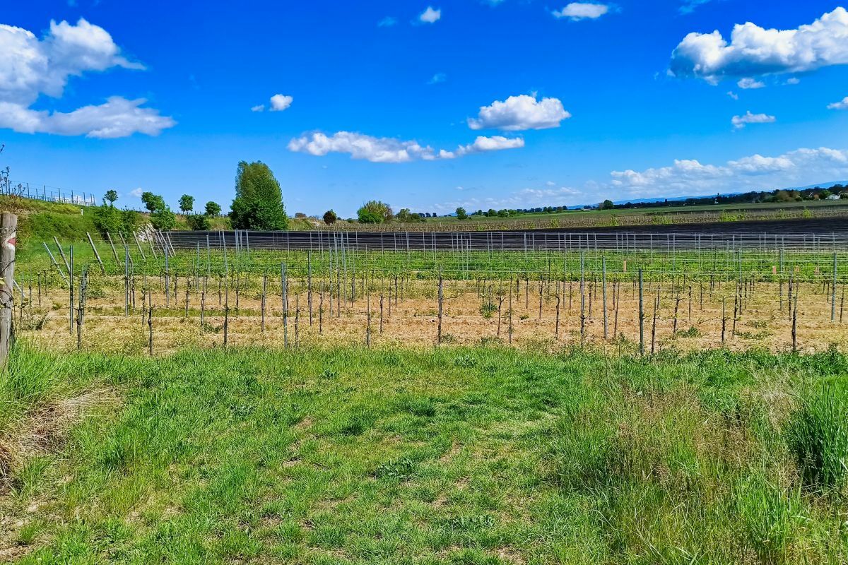
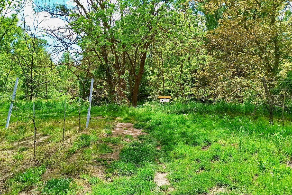
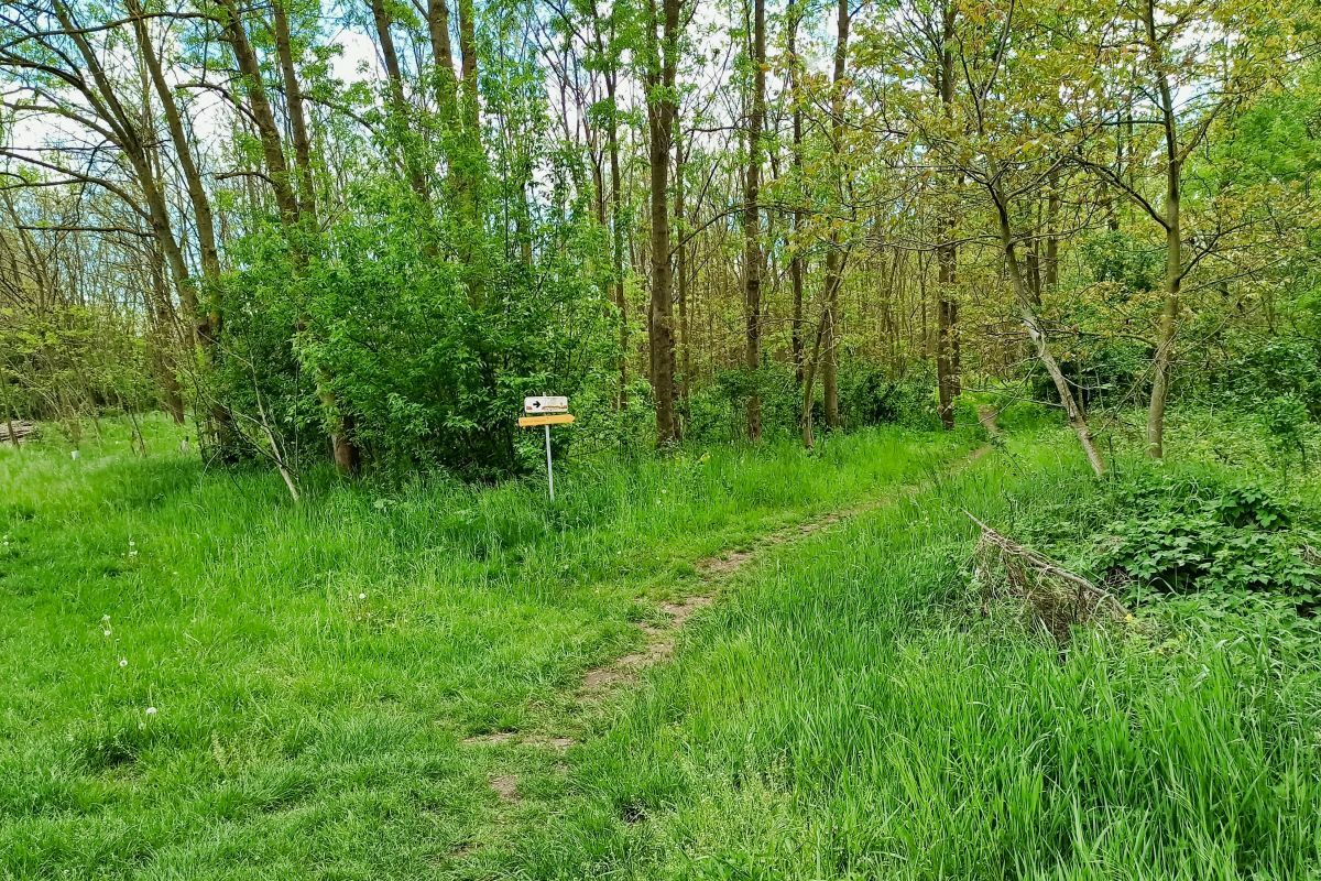
Eine rund zweieinhalbstündige Nordic Walking-Runde von Langenlois über Zöbing und Haindorf.
- Difficulty
-
easy
- Rating
-
- Starting point
-
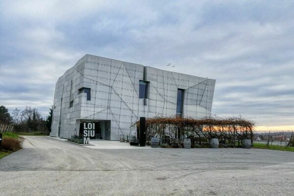
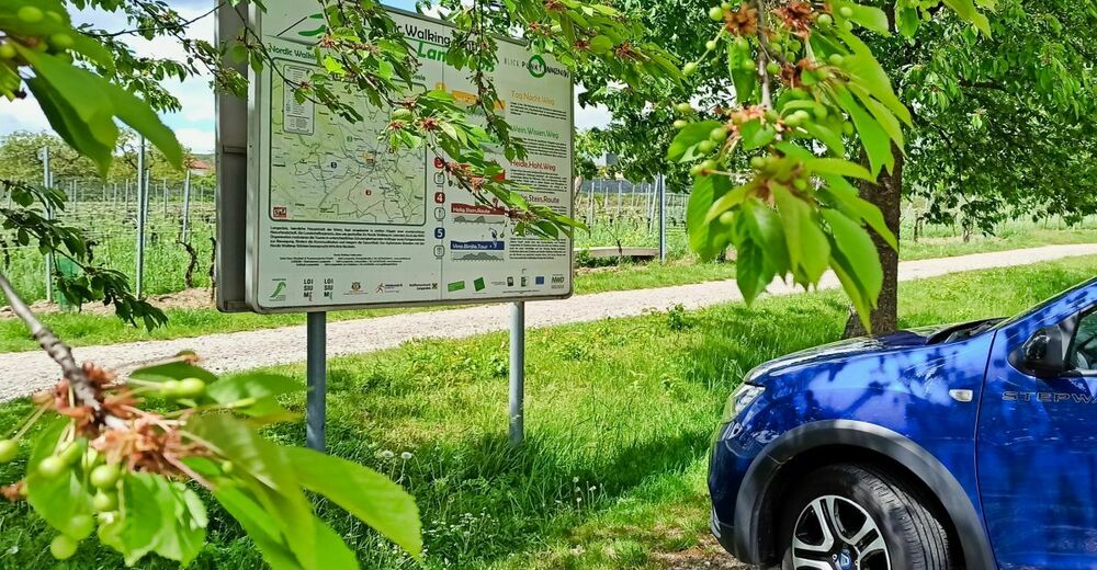
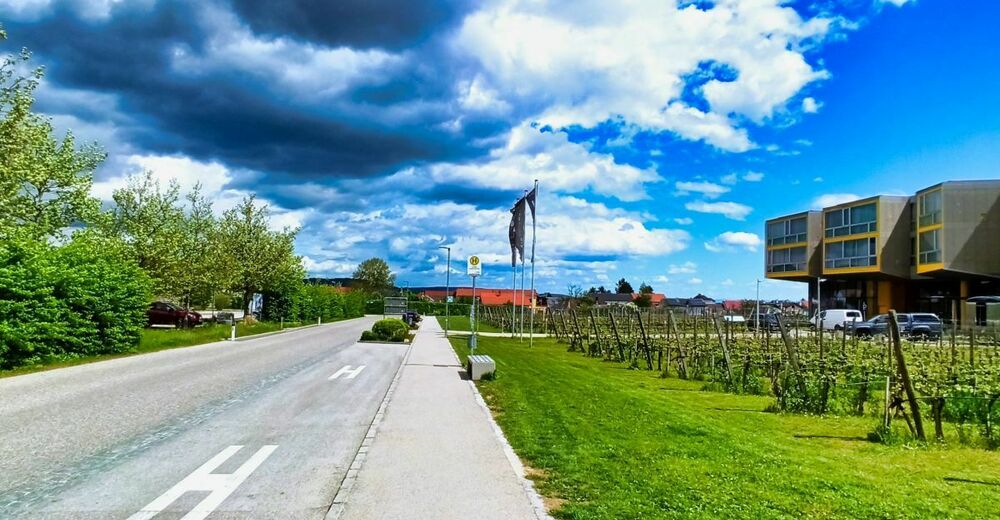
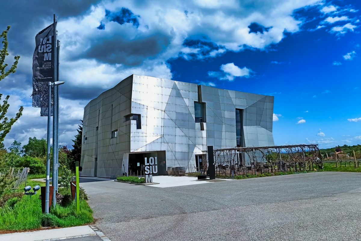
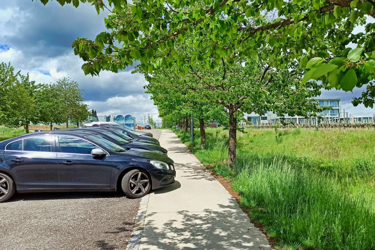
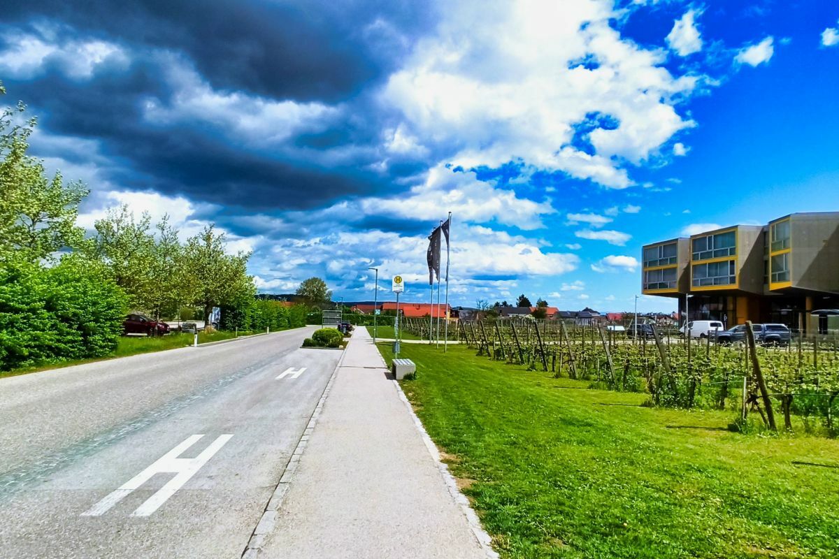
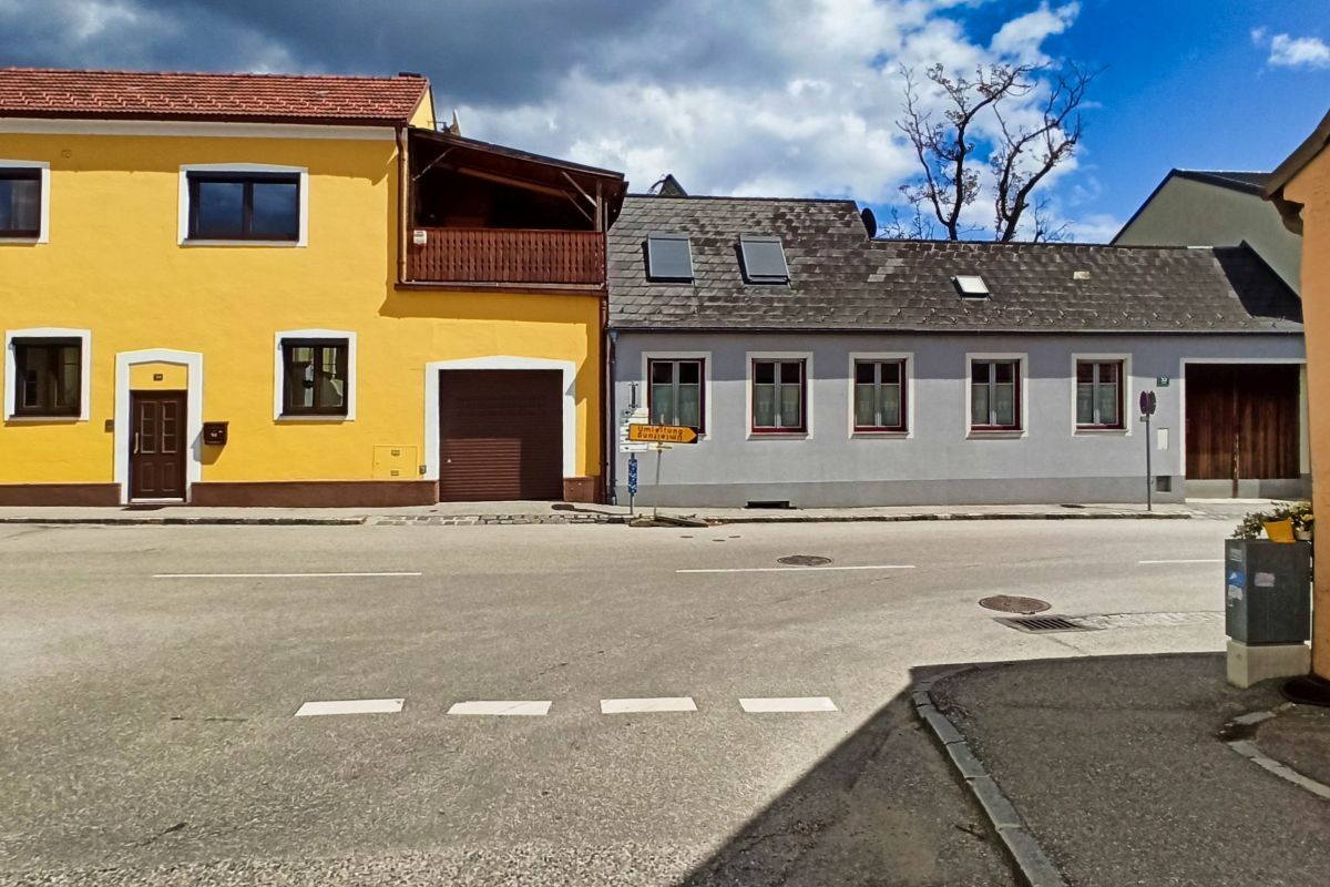
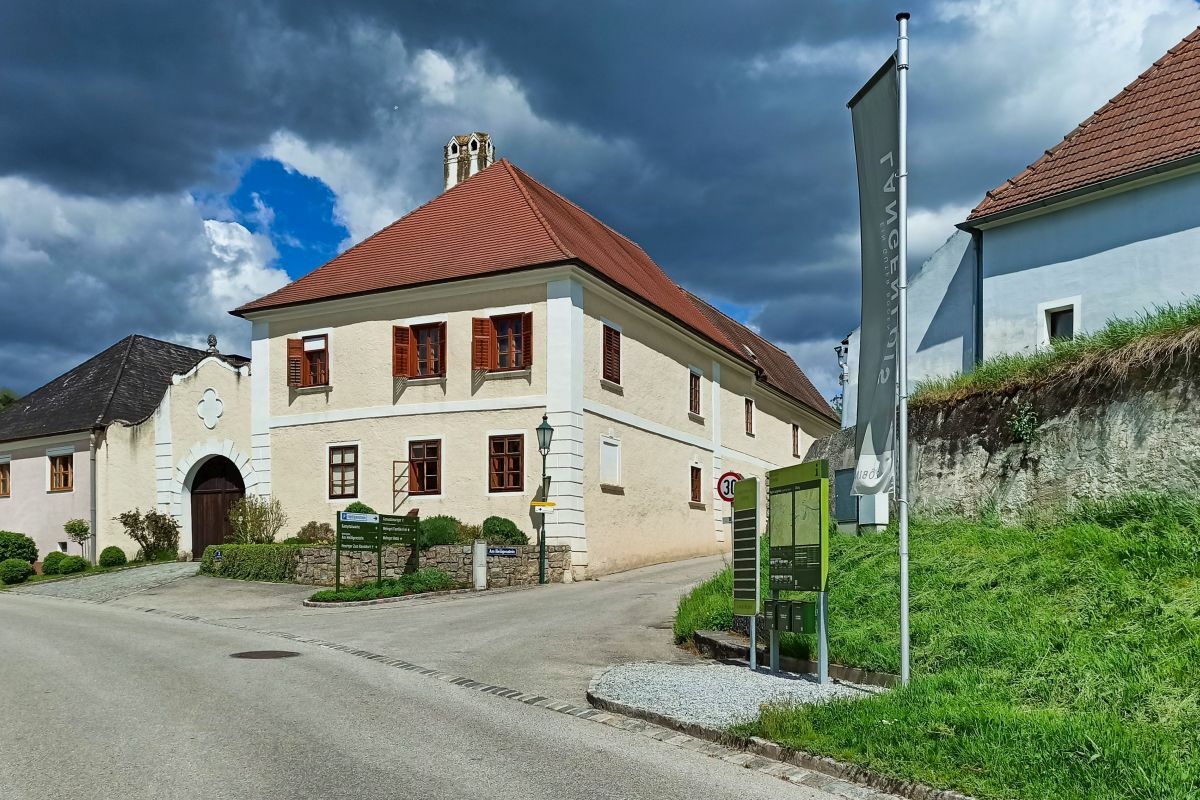
Loisium Wein.Welt
- Route
-
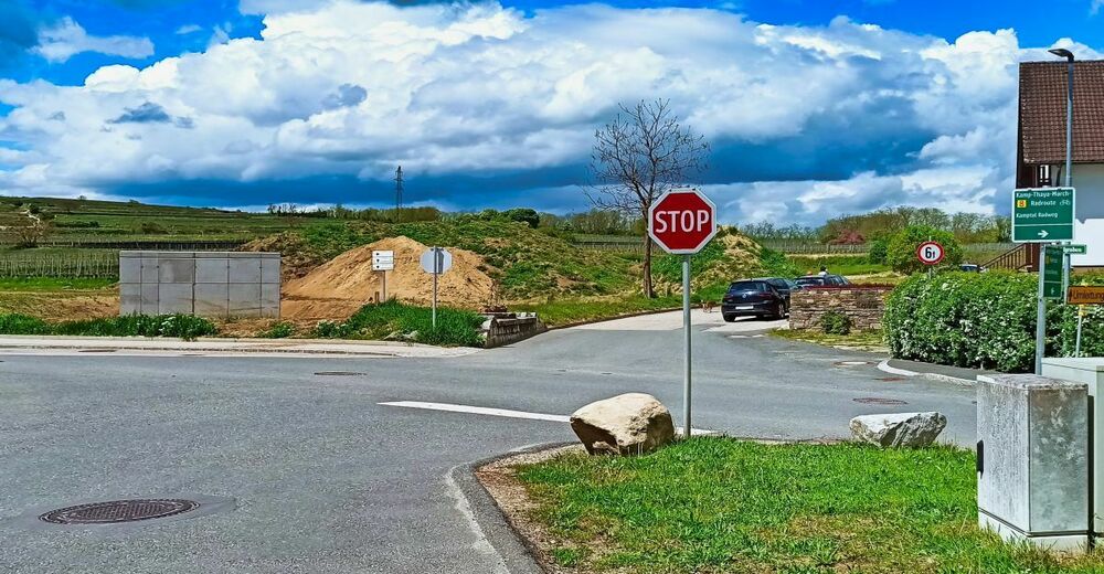
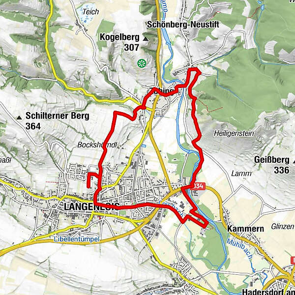
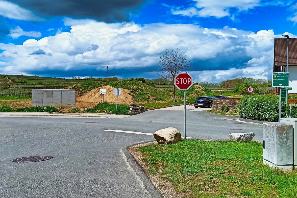
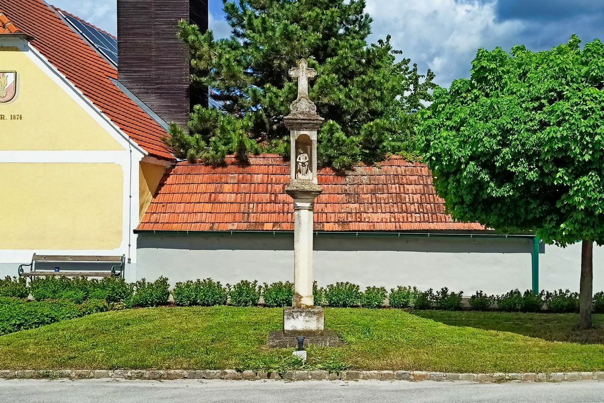
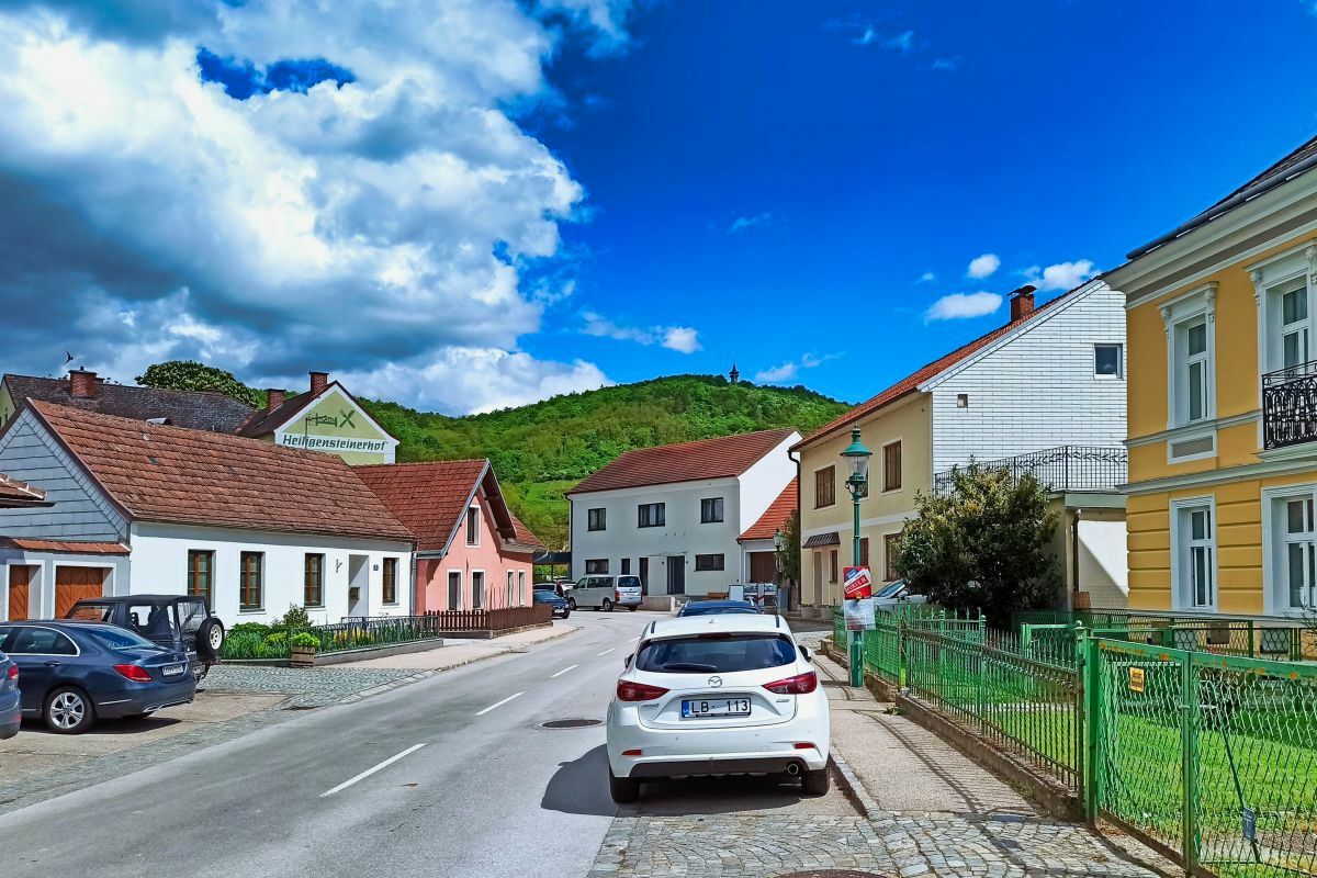
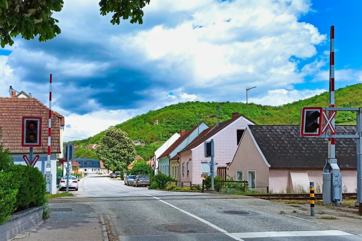
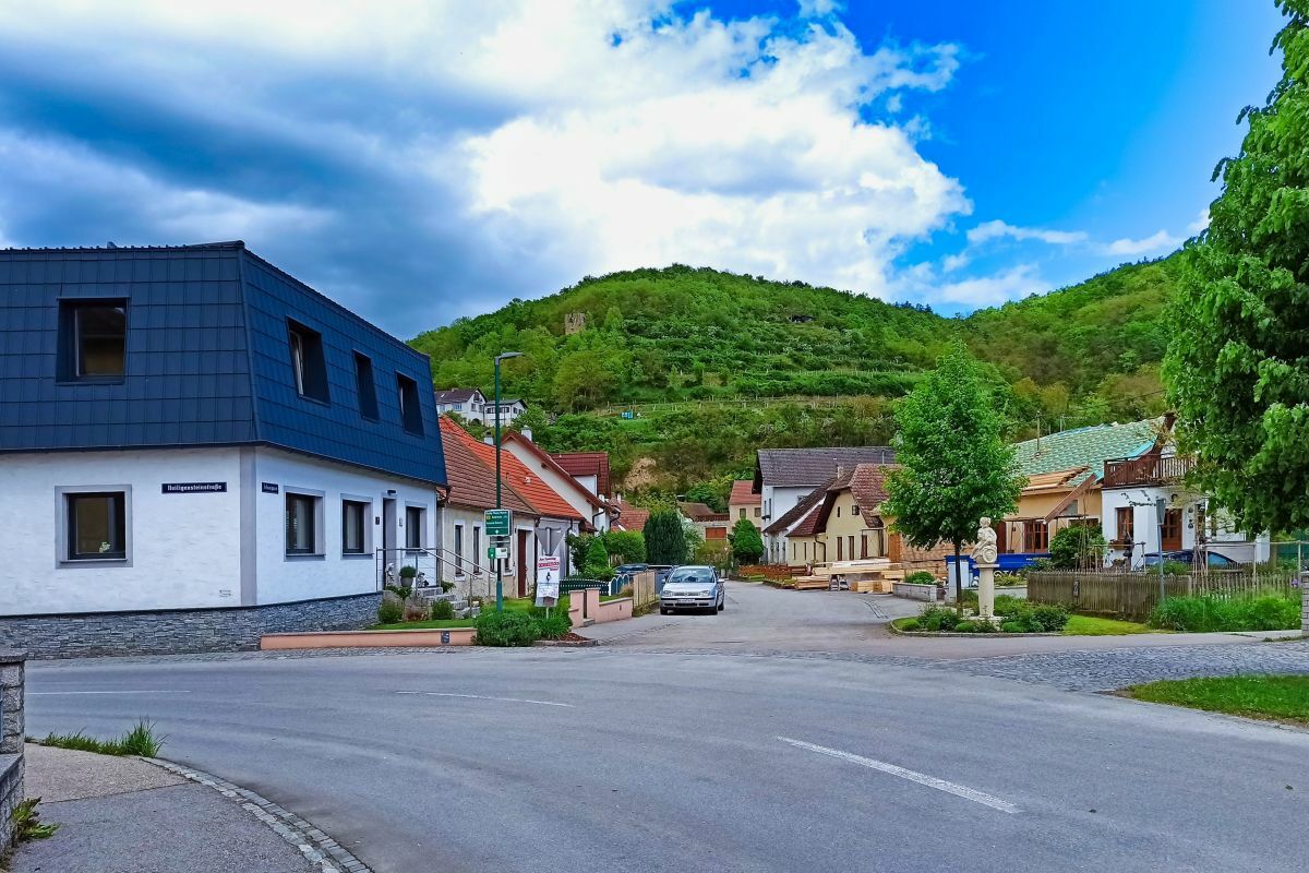
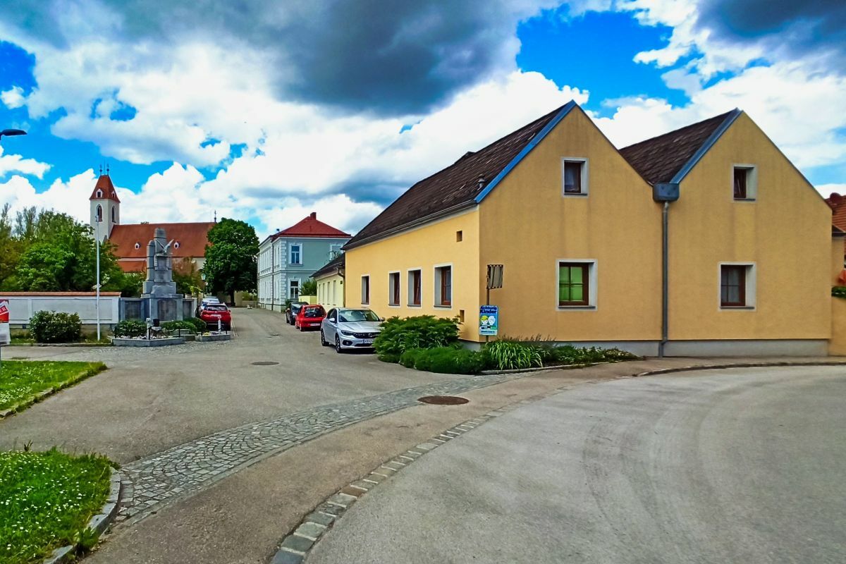
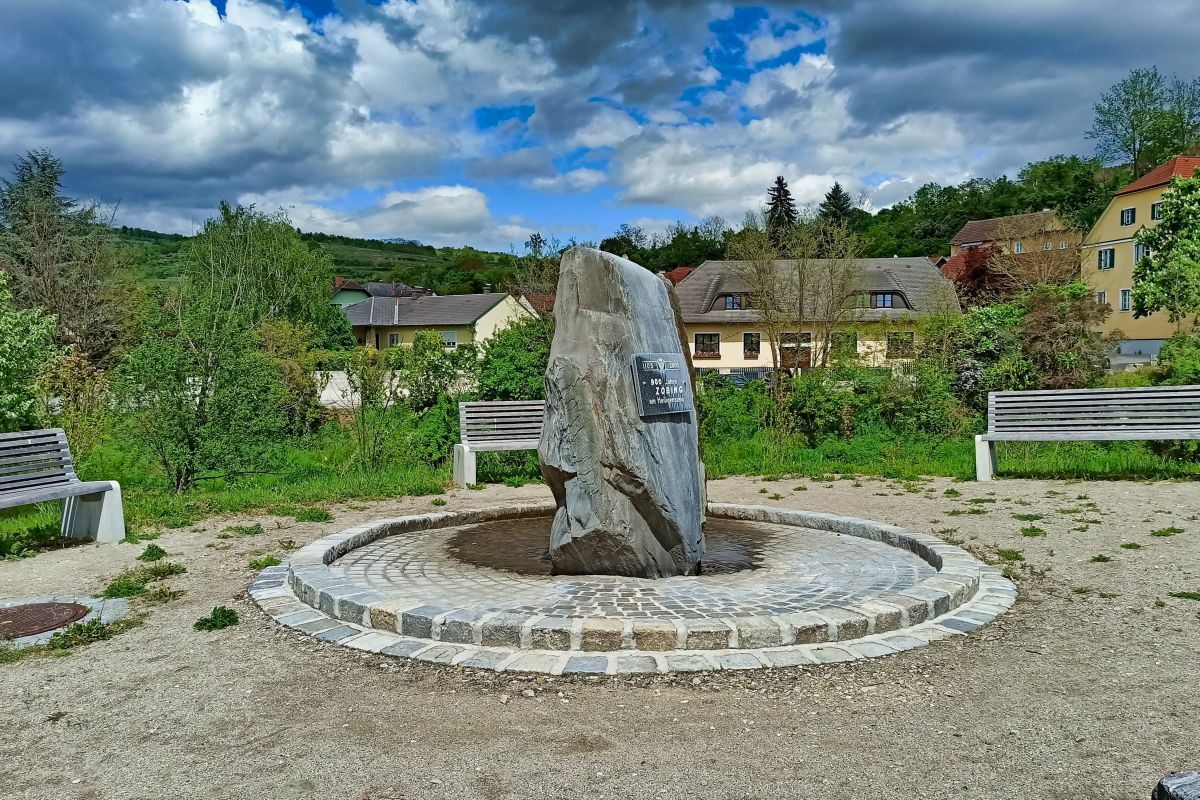
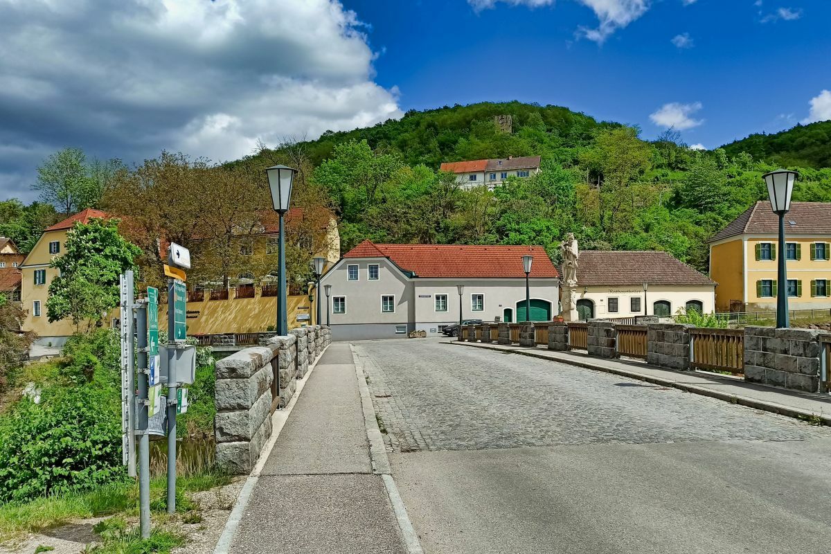
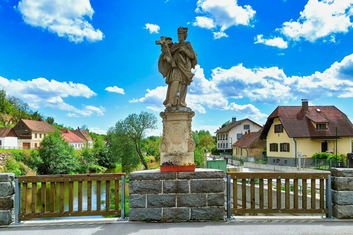
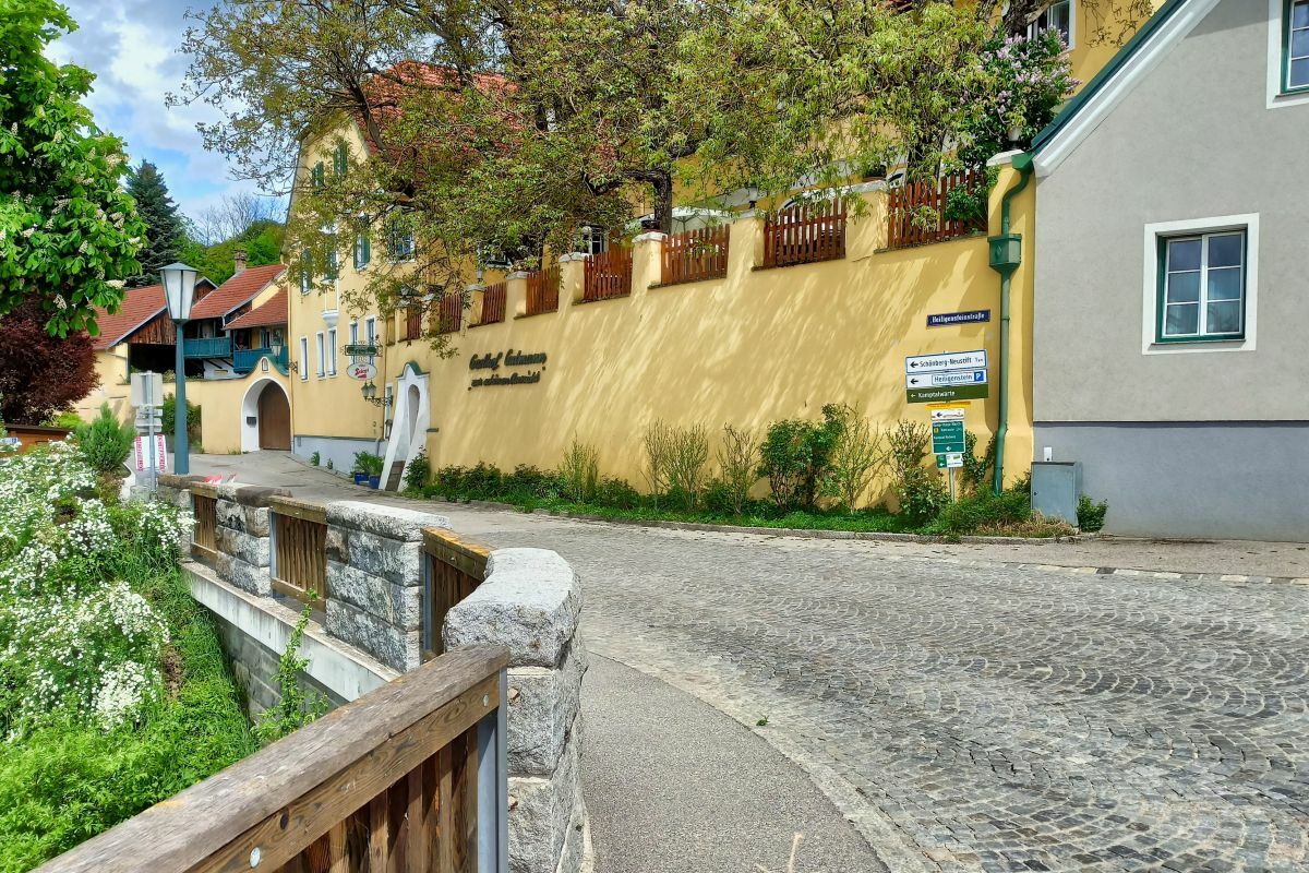
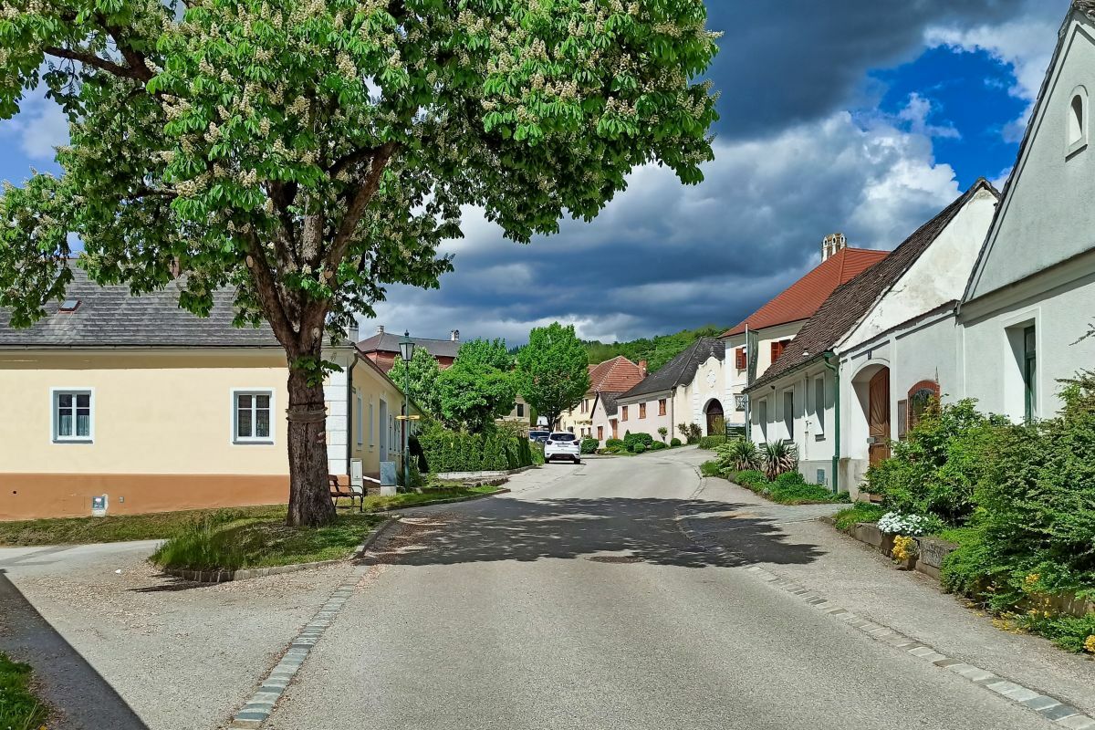
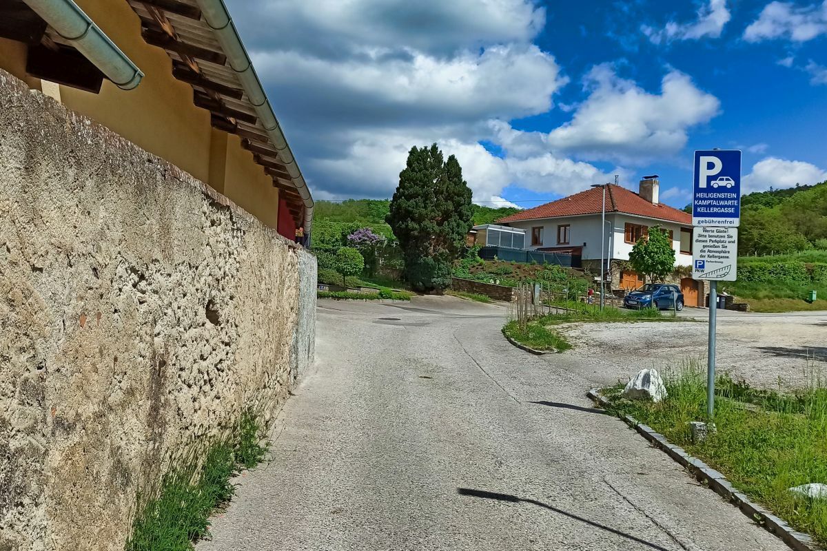
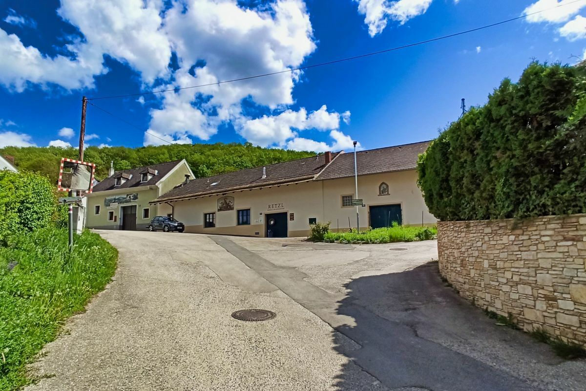
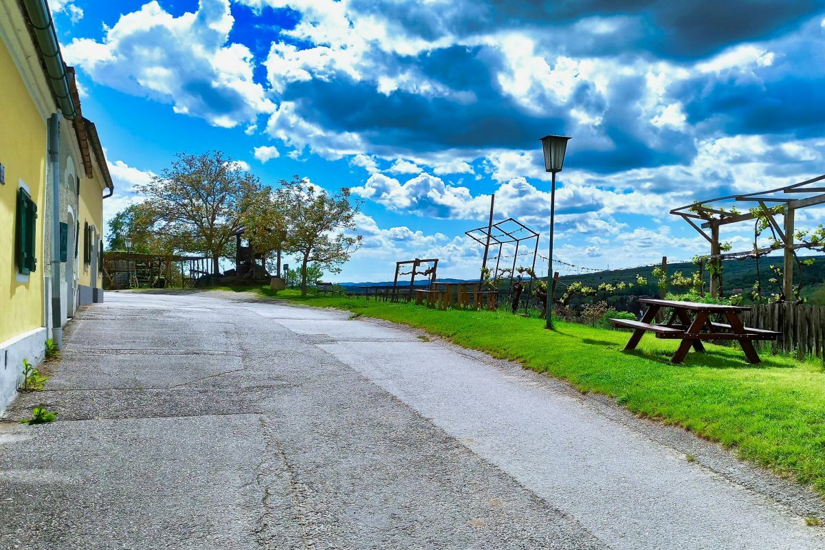
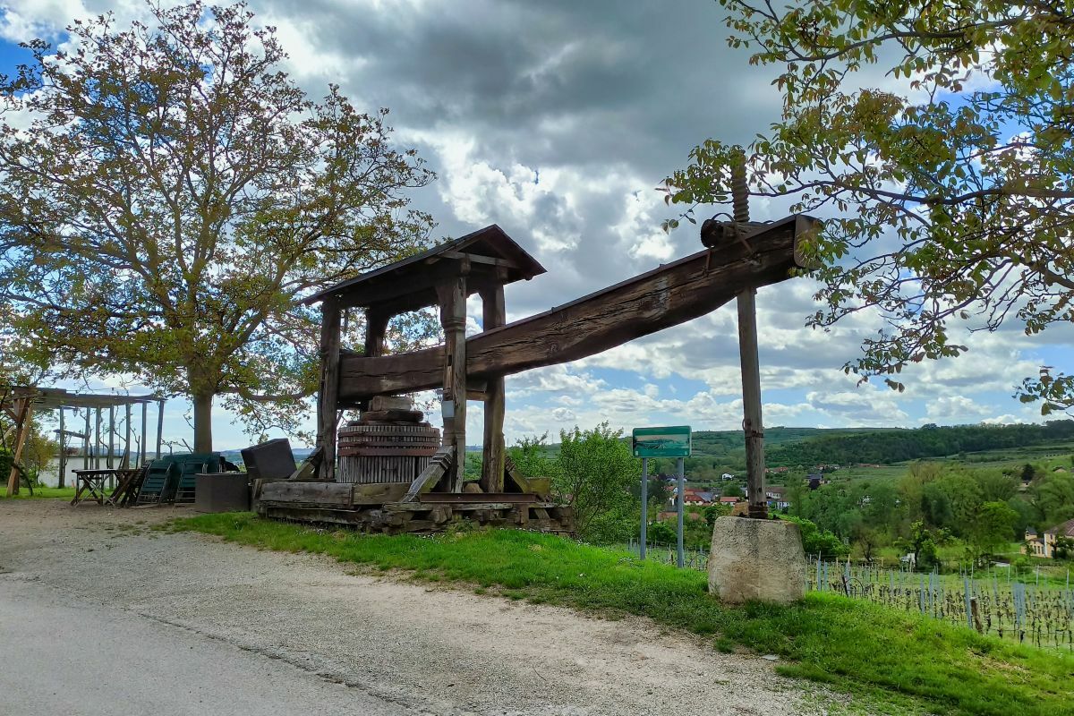
LangenloisZöbing2.9 kmHeiligensteinerhof2.9 kmGutmann3.3 kmEuropapark8.2 kmLangenlois9.2 kmElisabethkirche9.3 km
- Best season
-
JanFebMarAprMayJunJulAugSepOctNovDec
- Highest point
- 256 m
- Endpoint
-
Loisium Wein.Welt
- Information
- Ticket material
-
Gratis im Ursin-Haus erhältlich oder unter www.langenlois.at/service/broschueren... bestellbar.

- Source
- Weinbergwandern.at
GPS Downloads


Other tours in the regions