© Unbekannt - Sabine Preißl


- Brief description
-
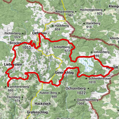
St. Martin - Mühlbach - Sulz - St. Wolfgang - Langfeld - Roßbruck - St. Martin
- Difficulty
-
easy
- Rating
-
- Route
-
ZeilSt. Martin0.0 kmRoßbruck1.2 kmSchöllbüchl2.0 kmAnger3.0 kmLangfeld3.8 kmSankt Wolfgang5.9 kmSulz8.2 kmMühlbach9.9 kmMühlbacher Feld11.5 kmZeil13.6 kmGasthof Weninger13.8 kmSt. Martin13.9 km
- Best season
-
JanFebMarAprMayJunJulAugSepOctNovDec
- Highest point
- 712 m
- Endpoint
-
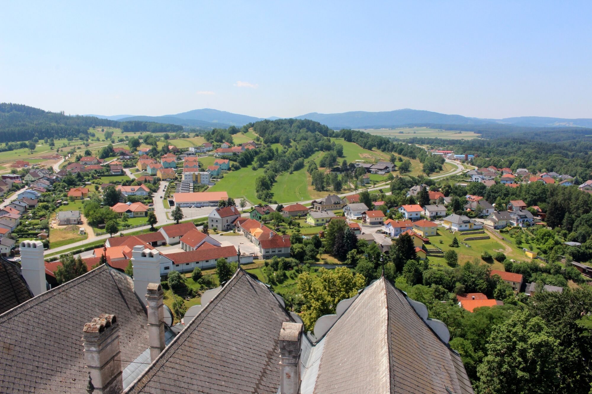
St. Martin
- Height profile
-

- Author
-
The tour Reitgraben - Strecke is used by outdooractive.com provided.
GPS Downloads


Other tours in the regions
-
Waldviertel
169
-
Oberes Waldviertel
67
-
St. Martin
34