

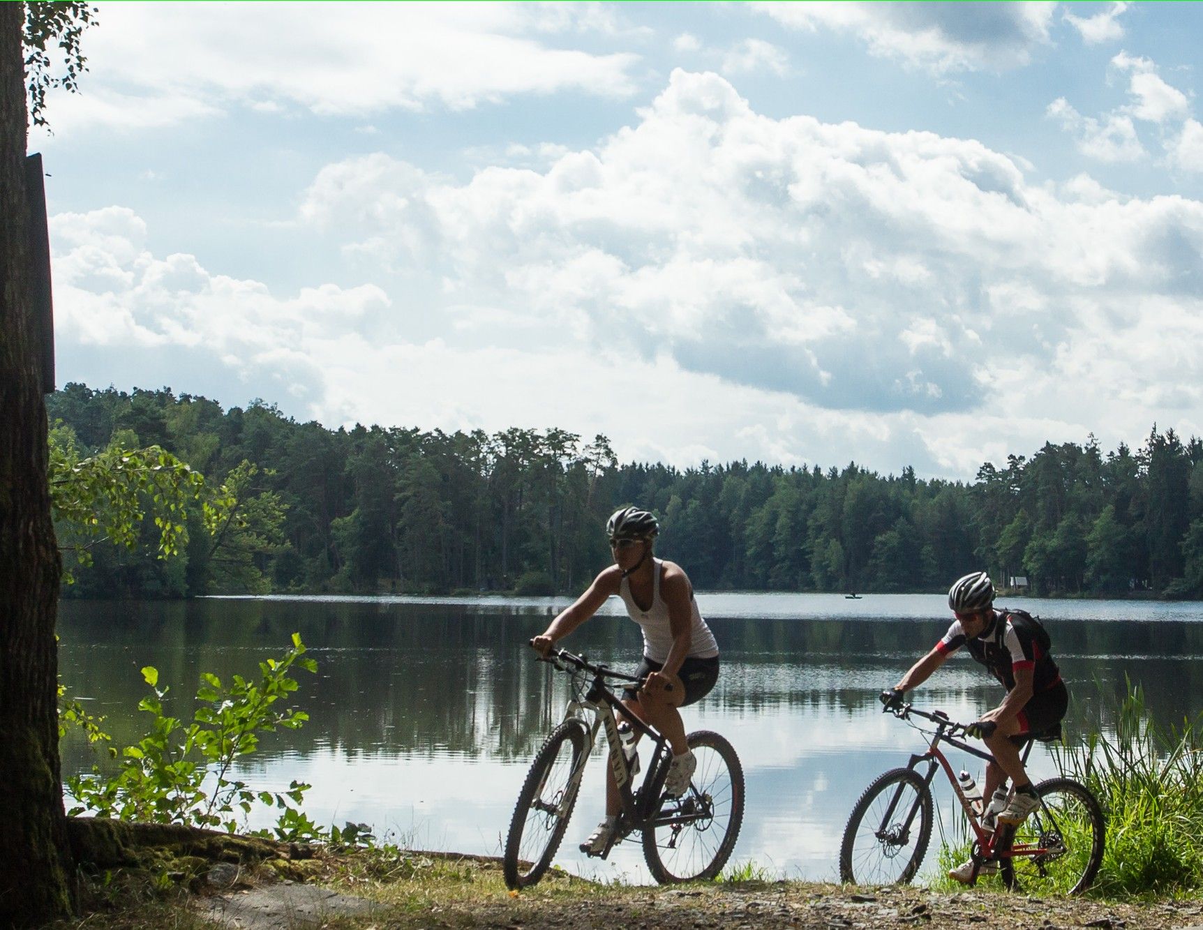
© © Waldviertel Tourismus, Erwin Haiden, nyx.at - Destination Waldviertel

- Brief description
-
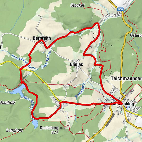
Ottenschlag - Neuhof - Bernreith - Reith - Ottenschlag
- Difficulty
-
easy
- Rating
-
- Route
-
Ottenschlag0.0 kmPfarrkirche zum Hl.Jakob0.0 kmGasthaus Fischerwirt2.1 kmNeuhof2.2 kmBernreith7.2 kmSagfeld8.7 kmFurtmühle9.8 kmHeuriger Pehn10.1 kmHammerwerk10.2 kmReith10.9 kmKleinacker10.9 kmEndlas11.2 kmFürkappen13.0 kmOttenschlag13.8 kmPfarrkirche zum Hl.Jakob13.9 km
- Best season
-
JanFebMarAprMayJunJulAugSepOctNovDec
- Highest point
- 851 m
- Endpoint
-
Ottenschlag
- Height profile
-

- Author
-
The tour Teich-Strecke is used by outdooractive.com provided.
GPS Downloads


Other tours in the regions
-
Waldviertel
169
-
Waldviertel Mitte
101
-
Ottenschlag
36


