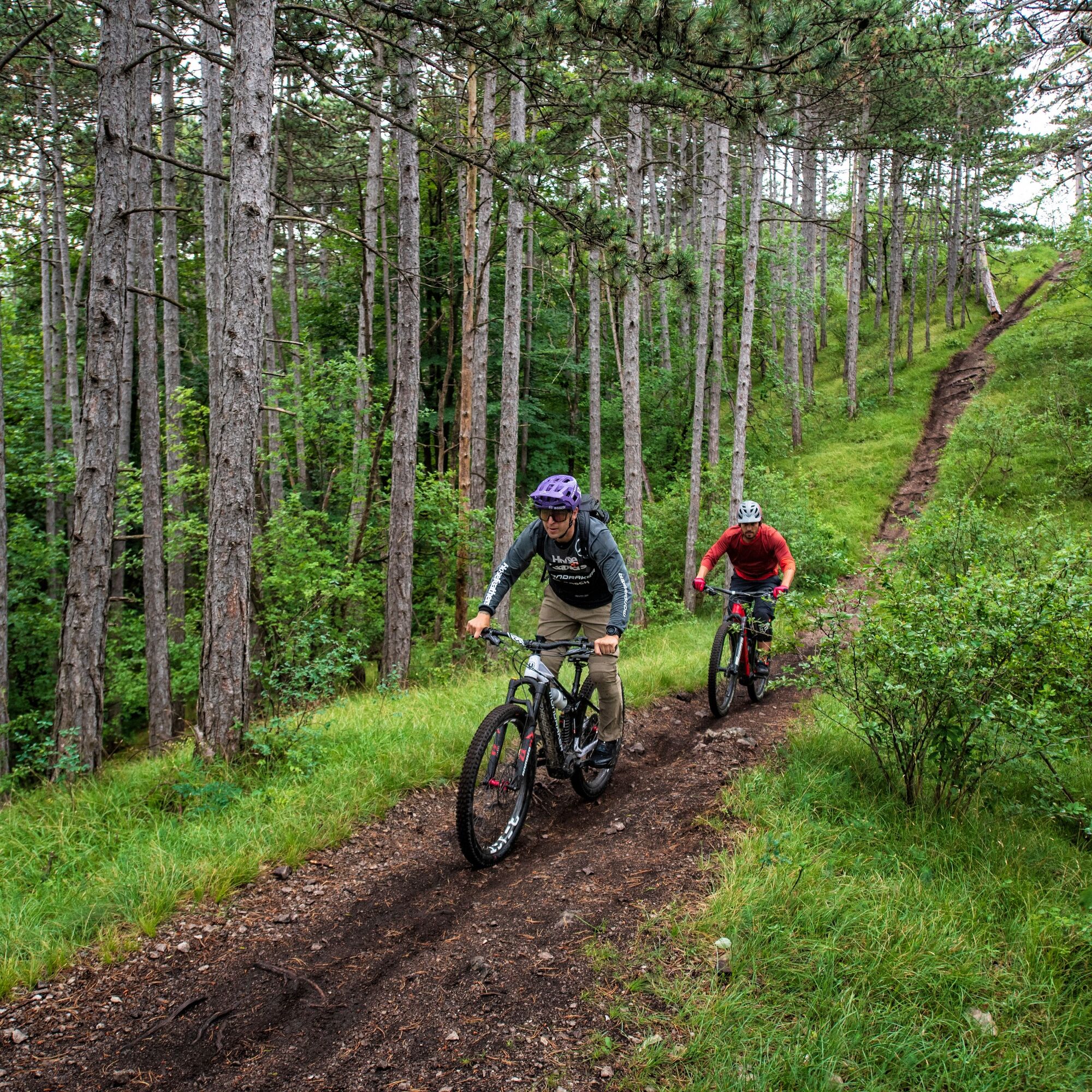
© Wienerwald Tourismus GmbH / Markus Frühmann

© Wienerwald Tourismus GmbH / Miloš Štáfek

© Wienerwald - Wienerwald Tourismus GmbH

- Brief description
-
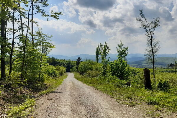
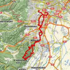
Der Kiental Trail fordert eine gute Fahrtechnik und genügend Erfahrung mit steilen Kurven und Wurzeln.
- Difficulty
-
difficult
- Rating
-
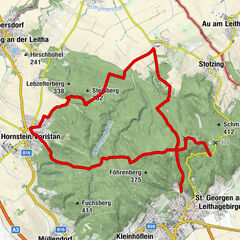
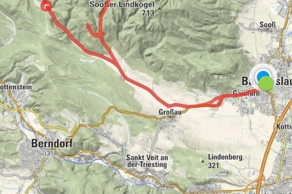
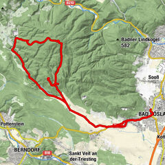
- Route
-
Steinwand (491 m)1.0 km
- Best season
-
JanFebMarAprMayJunJulAugSepOctNovDec
- Highest point
- 621 m
- Endpoint
-
Forststraße
- Height profile
-


- Author
-
The tour Kiental Trail _schwer is used by outdooractive.com provided.
GPS Downloads


Surfaces
Trial
Other tours in the regions
-
Wienerwald
291
-
Wien und Umgebung
206
-
Hinterbrühl
109