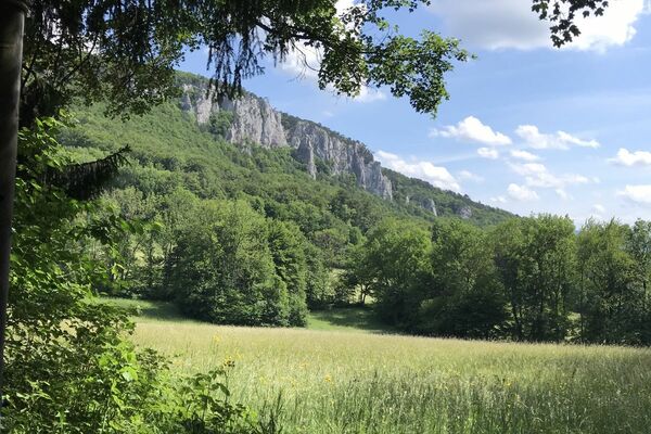
© Wienerwald Tourismus GmbH / Markus Frühmann
- Brief description
-
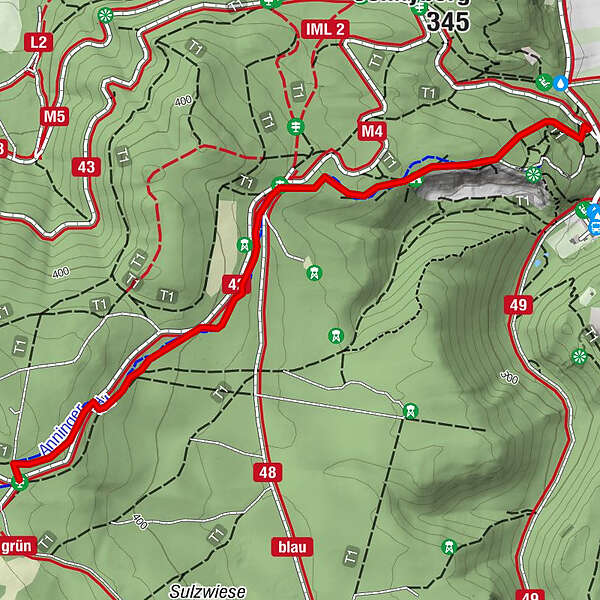
Ein schöner, leichter und familienfreundlicher Trail hinunter zum Ausgangspunkt der Anninger Forststraße.
- Difficulty
-
easy
- Rating
-
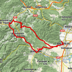
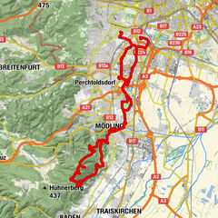
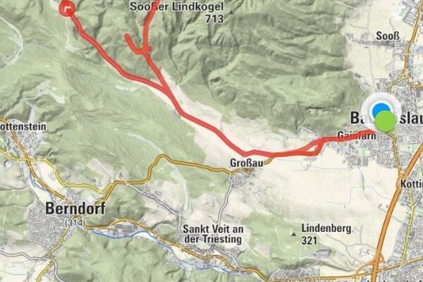
- Route
-
Breite Föhre0.9 kmFriedrichshöhle1.2 kmMödling1.7 km
- Best season
-
JanFebMarAprMayJunJulAugSepOctNovDec
- Highest point
- 445 m
- Endpoint
-
Prießnitztal
- Height profile
-

- Author
-
The tour Anninger Trail_leicht is used by outdooractive.com provided.
GPS Downloads


Surfaces
Trial
Other tours in the regions
-
Wienerwald
290
-
Wien und Umgebung
205
-
Mödling
107