© Wienerwald Tourismus GmbH / Alexander Niederecker

© Wienerwald Tourismus GmbH / Markus Frühmann
- Brief description
-
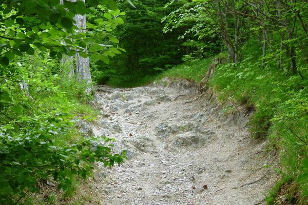
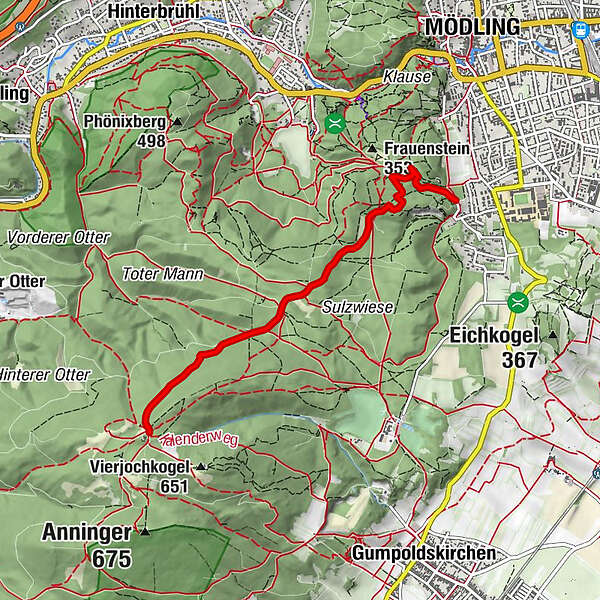
Angenehm Tail bergauf zum schönsten Aussichtspunkt am Anninger!
- Difficulty
-
easy
- Rating
-
- Route
-
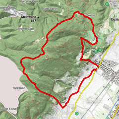
Mödling0.5 kmBreite Föhre1.3 kmAuf der Wurzen2.6 kmKrauste Linde3.0 kmHans Riffer Quelle3.4 km
- Best season
-
JanFebMarAprMayJunJulAugSepOctNovDec
- Highest point
- 624 m
- Endpoint
-
Anninger Schutzhaus
- Height profile
-


- Author
-
The tour Anninger-Uphill is used by outdooractive.com provided.
GPS Downloads


Other tours in the regions
-
Wienerwald
291
-
Wien und Umgebung
206
-
Gumpoldskirchen
107