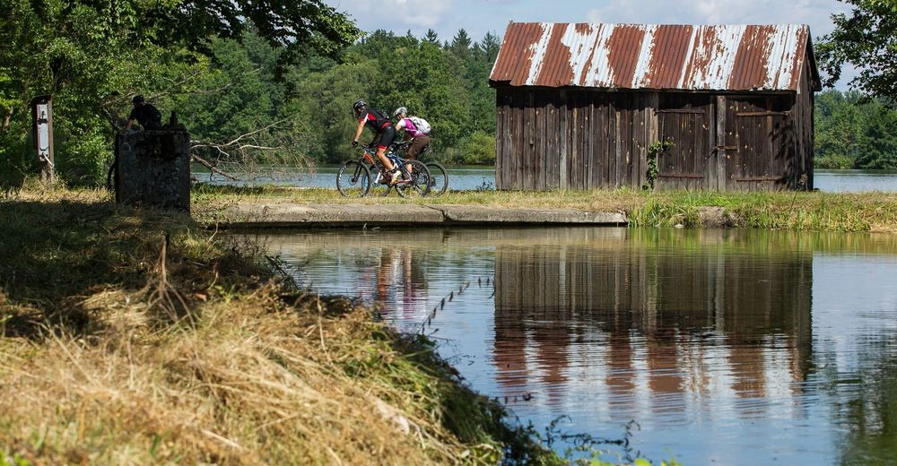
© Waldviertel Tourismus, Erwin Haiden, nyx.at - Destination Waldviertel

- Brief description
-
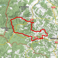
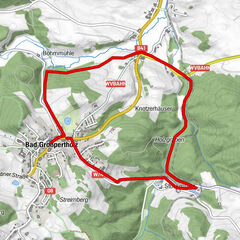
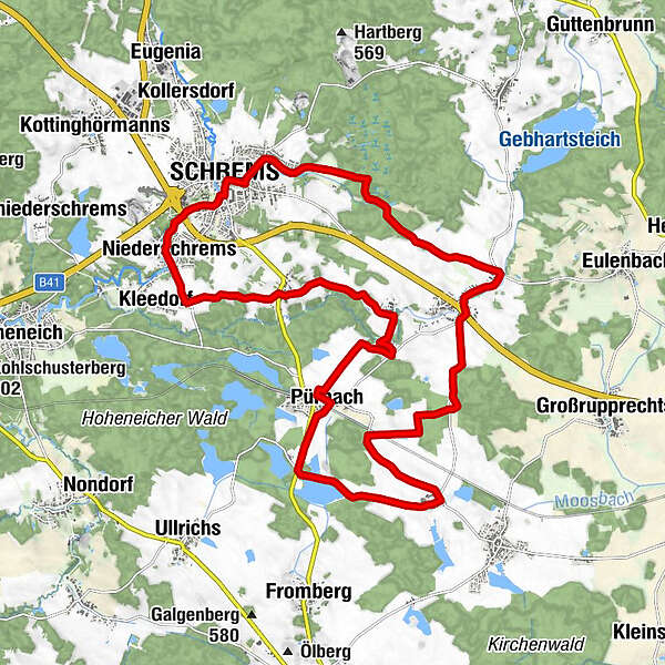
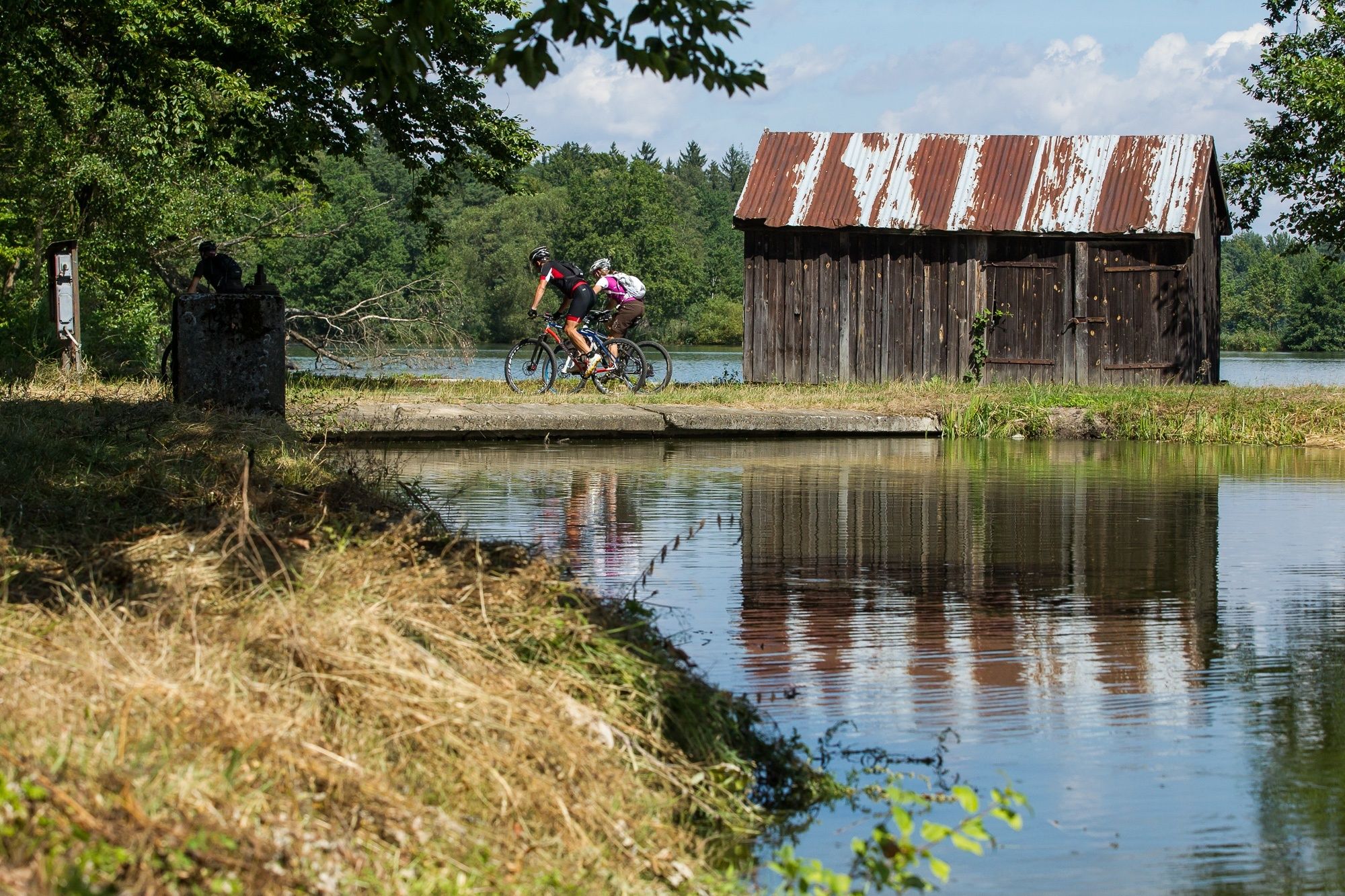
Schrems - Niederschrems - Kleedorf - Ehrenhöbarten - Neuhöf - Pürbach - Stölzles - Langschwarza - Schremser Naturpark - Schrems
- Difficulty
-
easy
- Rating
-
- Route
-
Schrems0.2 kmBummerloch1.3 kmDorfbründl1.6 kmNiederschrems1.9 kmKleedorf2.5 kmEhrenhöbarten4.3 kmNeuhöf6.2 kmPürbach8.6 kmStölzles12.2 kmWaldschenke Schreiber16.0 kmKurzschwarza17.5 kmLangschwarza17.8 kmSchrems23.7 km
- Best season
-
JanFebMarAprMayJunJulAugSepOctNovDec
- Highest point
- 558 m
- Endpoint
-
Schrems
- Height profile
-

- Author
-
The tour Herrenteich - Strecke is used by outdooractive.com provided.
GPS Downloads


General info
Flora
Other tours in the regions
-
Waldviertel
169
-
Oberes Waldviertel
67
-
Schrems
11