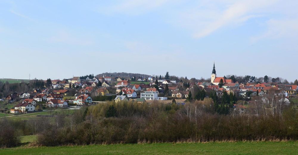
© Gemeinde Gföhl


- Difficulty
-
medium
- Rating
-
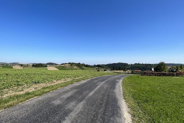
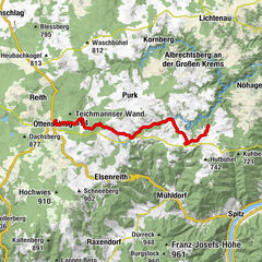
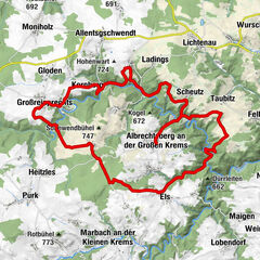
- Route
-
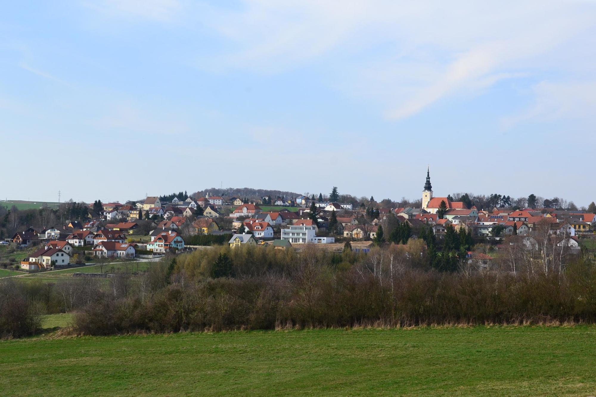
GföhlElisabeth-Häuschen0.1 kmGföhleramt1.3 kmTiefenbacher3.1 kmElisabeth-Häuschen17.1 kmGföhl17.3 kmGasthaus Braun, Zum weißen Rössl17.3 km
- Best season
-
JanFebMarAprMayJunJulAugSepOctNovDec
- Highest point
- 612 m
- Endpoint
-
Gföhl
- Height profile
-

- Author
-
The tour Gföhlerwald-Strecke is used by outdooractive.com provided.
GPS Downloads


Other tours in the regions