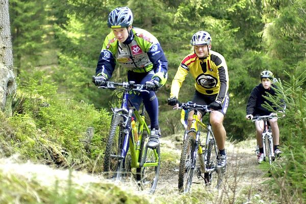
© © Martin Rehberger

- Brief description
-
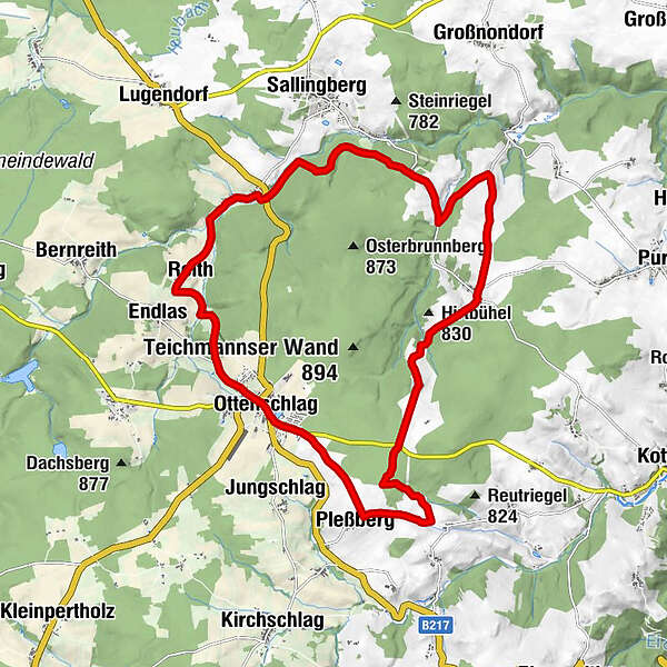
Ottenschlag - Pleßberg - Gotthardschlag - Grafemühle - Sallingberg - Ottenschlag
- Difficulty
-
medium
- Rating
-
- Route
-
Pfarrkirche zum Hl.Jakob0.1 kmOttenschlag0.2 kmPleßberg2.4 kmErnstgraben3.0 kmTeichmanns6.4 kmGotthardschlag8.3 kmSpielleithen10.2 kmGasthaus - Pizzeria, Diskothek, Familie Reischer11.9 kmRabenhof11.9 kmGeißruck12.2 kmMohnwirt Neuwiesinger15.4 kmArmschlag15.5 kmFurtmühle16.2 kmHeuriger Pehn16.5 kmHammerwerk16.6 kmReith17.3 kmKleinacker17.3 kmEndlas17.6 kmFürkappen19.3 kmOttenschlag20.0 km
- Best season
-
JanFebMarAprMayJunJulAugSepOctNovDec
- Highest point
- 873 m
- Endpoint
-
Ottenschlag
- Height profile
-

- Author
-
The tour Hochland-Strecke is used by outdooractive.com provided.
GPS Downloads


Other tours in the regions
-
Donau Niederösterreich
144
-
Waldviertel Mitte
101
-
Ottenschlag
36