© (C) Wolfgang Wutzl - Wolfgang Wutzl

© (C) Wolfgang Wutzl - Wolfgang Wutzl
- Brief description
-
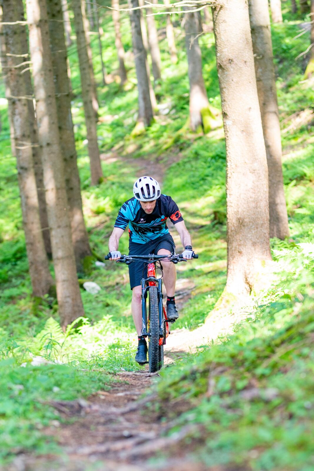
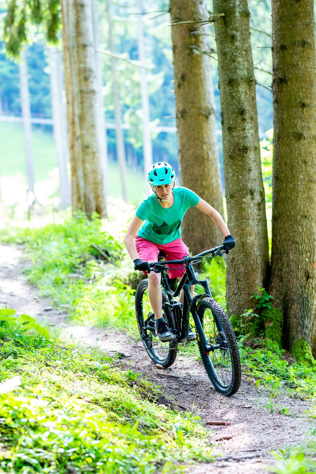
Sehr anspruchsvoller Singletrail der Schwierigkeitsstufe S3. Enge Kurven, teils hohe Anlieger, Wurzelpassagen, steiles Gefälle - nur für Geübte!
- Difficulty
-
difficult
- Rating
-
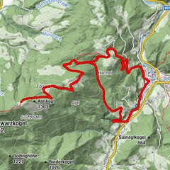
- Route
-
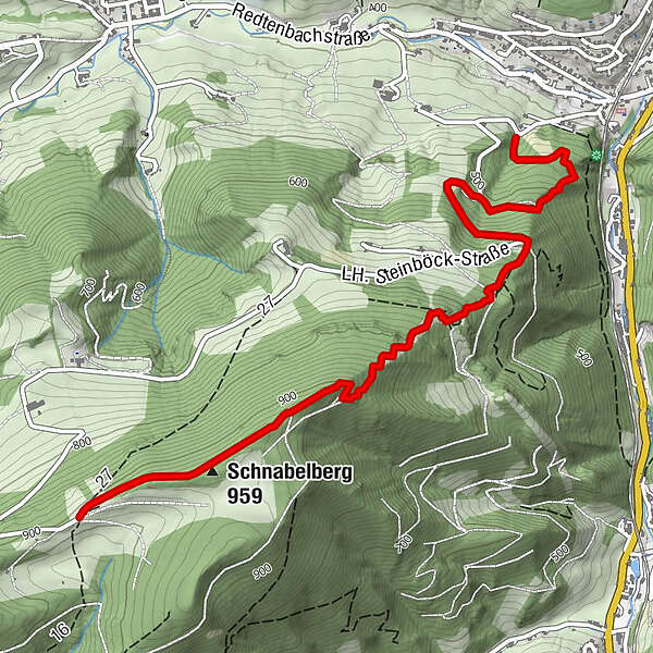
Schnabelberg (959 m)0.5 kmMinichberg3.3 km
- Best season
-
JanFebMarAprMayJunJulAugSepOctNovDec
- Highest point
- 947 m
- Endpoint
-
Schnabelbergstraße, Einmündung Redtenbachstraße
- Height profile
-

- Author
-
The tour Schnabelberg-Singletrail is used by outdooractive.com provided.
GPS Downloads


Surfaces
Trial
General info
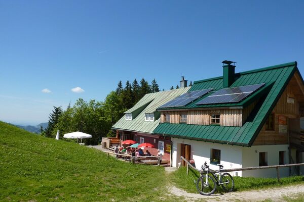
A lot of view
Other tours in the regions