Augustiner-Trail

Logo Augustiner-Trail
Tour data
1.32km
273 - 436m
Distance
-
161hm
Ascent
00:05h
 
Duration
Brief description

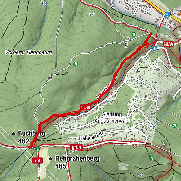
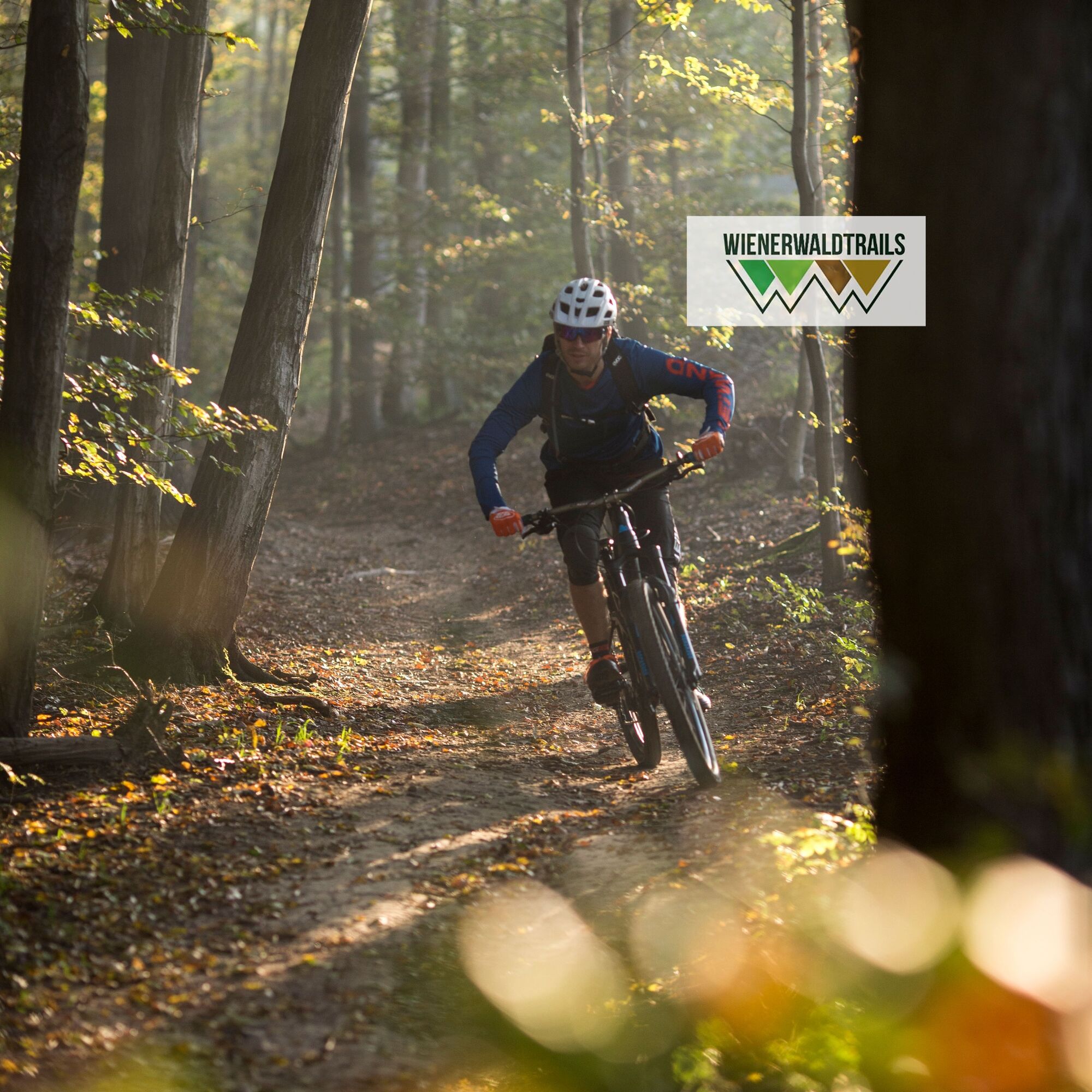
Ein etwas breiterer, laubiger Trail, der durch kurze Wurzelpassagen und wenige etwas steilere Passagen besticht. 

Difficulty
easy
Rating
Technique
Fitness
Landscape
Experience

Best season
Jan
Feb
Mar
Apr
May
Jun
Jul
Aug
Sep
Oct
Nov
Dec
Highest point
436 m
Endpoint

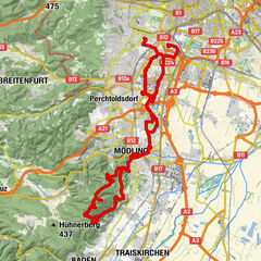
Gebiet Mauerbach - Augustinerwaldstraße/Hohe-Wand-Gasse

Height profile

Author
The tour Augustiner-Trail is used by outdooractive.com provided.

Overall rating

5

0

%

4

0

%

3

0

%

2

0

%

1

0

%

Error
An error has occurred. Please try again.
Thank you for your review

Rating has been deleted

GPS Downloads
  • GPX GPS Exchange Format (XML)
  • KML Google Earth, Google Maps
QR Download Codes for Mobile Phones

Surfaces

Trial
Other tours in the regions

Popular tours in the area

Anninger-Wilhelmswarte auf Singletrails

medium Mountainbike
50.01km | 557hm | 03:00h

Monastery Imperial Artist Tour

medium Mountainbike
59.33km | 432hm | 05:15h

Weidling - Kahlenberg - Waldbachsteig

medium Mountainbike
22.63km | 429hm | 02:00h

Anninger und Kleiner Anninger

medium Mountainbike
16.62km | 584hm | 02:30h