Hirschentanz Trail

Logo Hirschentanz Trail
Tour data
0.51km
368 - 424m
Distance
-
61hm
Ascent
00:05h
 
Duration
Brief description

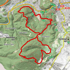
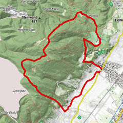
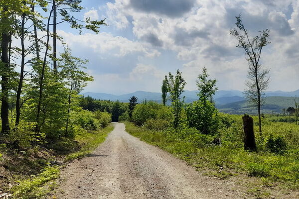
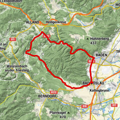
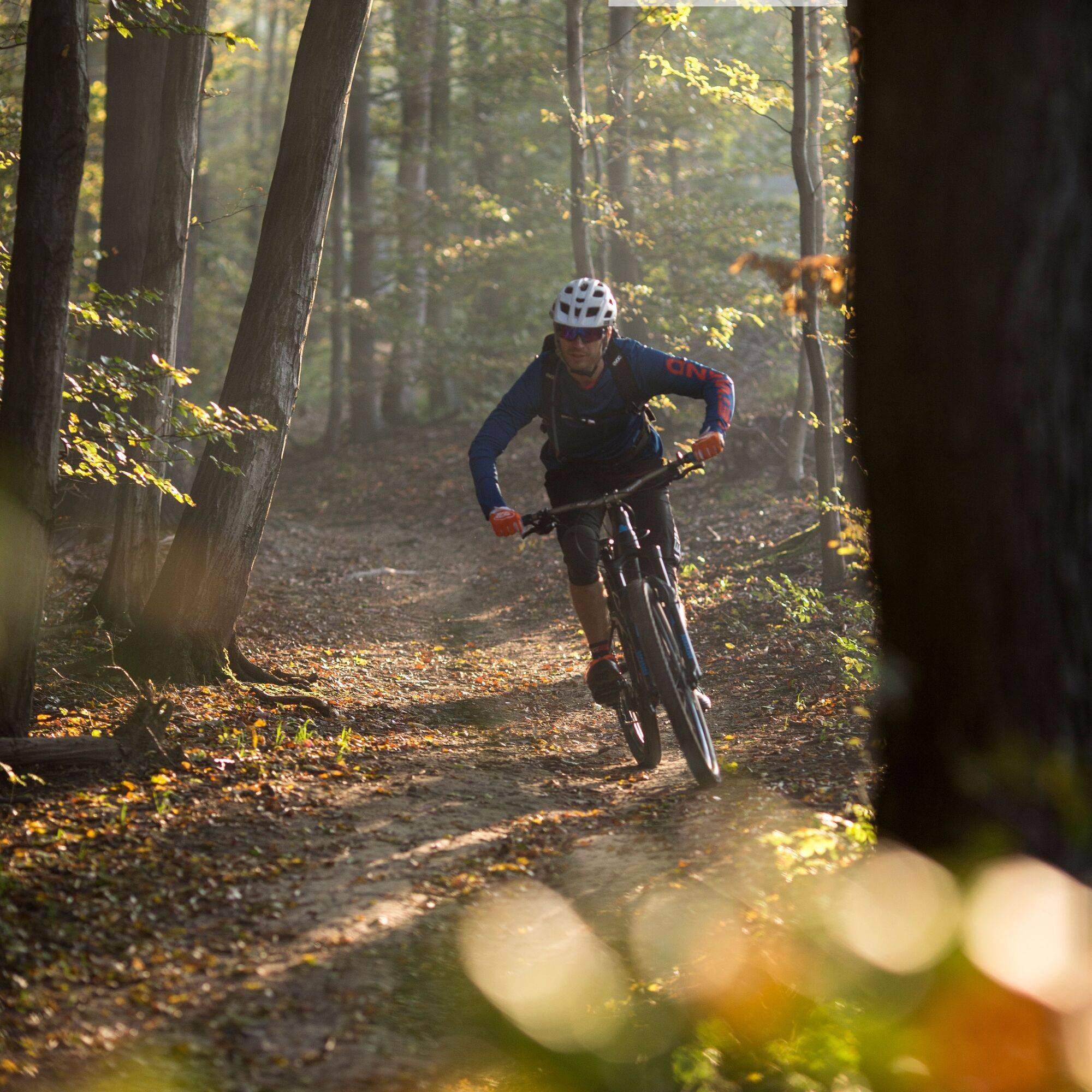
Schöner abwechslungsreicher Singletrail der verbindet

Difficulty
easy
Rating
Technique
Fitness
Landscape
Experience

Best season
Jan
Feb
Mar
Apr
May
Jun
Jul
Aug
Sep
Oct
Nov
Dec
Highest point
424 m
Height profile

Author
The tour Hirschentanz Trail is used by outdooractive.com provided.

Overall rating

5

0

%

4

0

%

3

0

%

2

0

%

1

0

%

Error
An error has occurred. Please try again.
Thank you for your review

Rating has been deleted

GPS Downloads
  • GPX GPS Exchange Format (XML)
  • KML Google Earth, Google Maps
QR Download Codes for Mobile Phones

Surfaces

Trial
Other tours in the regions

Popular tours in the area

Anninger und Kleiner Anninger

medium Mountainbike
16.62km | 584hm | 02:30h

Anninger Schutzhaus

medium Mountainbike
13.72km | 465hm | 02:30h

Bad Vöslau Mayerling

easy Mountainbike
38.12km | 412hm | 01:50h