© RUNNERSFUN Consulting GmbH - Felix Ettinger

- Brief description
-
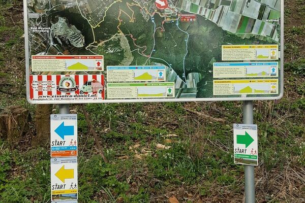
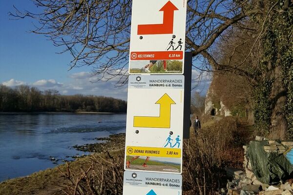
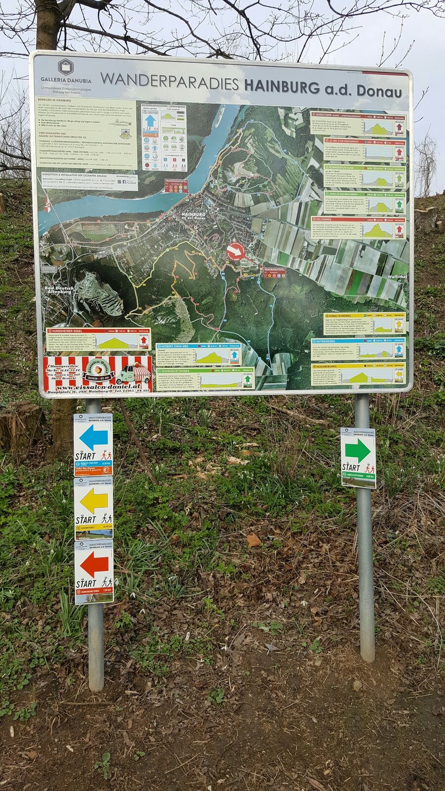
Galleria Danubia Wanderparadies Hainburg a. d. Donau - Schießstettenweg - grün markiert
- Difficulty
-
medium
- Rating
-
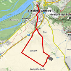
- Route
-
Engerau3.1 km
- Best season
-
JanFebMarAprMayJunJulAugSepOctNovDec
- Highest point
- 197 m
- Height profile
-

- Author
-
The tour Schießstättenweg is used by outdooractive.com provided.
GPS Downloads


Other tours in the regions