
- Brief description
-
The Kremstal-Danube long-distance hiking trail combines nature, culinary delights and culture. It offers numerous excursion destinations in the process: A hike that does justice to the multi-faceted richness of the region.
- Difficulty
-
medium
- Rating
-
- Starting point
-
Any, depending on the chosen stage
- Route
-
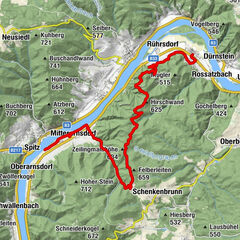
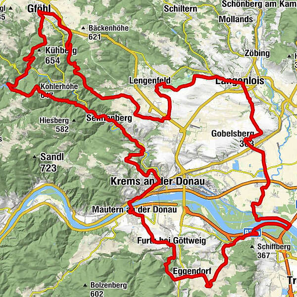
Innenstadt0.2 kmKrems an der Donau0.2 kmBürgerspitalskirche0.2 kmRumänisch-Orthodoxe Gemeinde Krems0.2 kmAlte Klosterkirche der Justizanstalt Stein1.2 kmPfarrkirche hl. Nikolaus1.8 kmFrauenbergkirche1.9 kmStein an der Donau2.0 kmFörthof2.7 kmMautern an der Donau4.0 kmWeinbau Teufner7.3 kmPfarrkirche Furth bei Göttweig8.0 kmFurth bei Göttweig8.3 kmLandgasthof Schickh10.4 kmKlein-Wien10.5 kmFilialkirche hl. Blasius10.6 kmPaudorf (253 m)12.1 kmPaudorf12.2 kmEggendorf13.3 kmHeilige Franz von Sales und Johanna Franziska von Chantal14.4 kmWinzerhof Otto Fink15.2 kmWeingut Johann Rennhofer15.3 kmhl. Florian15.4 kmHöbenbach15.5 kmOrtskapelle Krustetten17.3 kmKrustetten17.4 kmKrems-Süd19.8 kmKleedorf20.4 kmLumpazi Bräu20.9 kmHollenburg21.6 kmPrangerstüberl21.6 kmPfarrkirche Theiß29.1 kmTheiß29.4 kmHl. Jakobus der Ältere33.5 kmBrunn im Felde33.6 kmGasthaus Knechtl34.4 kmGedersdorf34.7 kmFilialkirche hll. Philippus und Jakobus34.8 kmHeuriger Rohrhofer35.0 kmGobelsberg (303 m)37.0 kmLangenlois41.3 kmHeuriger Völkl47.9 kmKath. Pfarrkirche hl. Pankratius48.5 kmStratzing52.4 kmPfarrkirche hl. Nikolaus52.5 kmPriel54.3 kmZum alten Bierkeller55.5 kmHeuriger Nigl Ingeborg55.8 kmDroß55.8 kmHerzogentisch (541 m)59.7 kmAthletenspalte60.5 kmGasthaus Braun, Zum weißen Rössl68.7 kmGföhl68.7 kmStadtpfarrkirche Hl. Andreas68.7 kmGasthof Schreferl75.8 kmUnter Meisling75.9 kmOber-Meisling77.4 kmPfarrkirche hl. Stephan77.7 kmKohlerhöhe (647 m)80.2 kmGasthof-Restaurant Hintenberger85.9 kmSenftenberg87.0 kmSchlapf'n Wirt Gasthaus Braun87.5 kmPfarrkirche hl. Andreas87.8 kmImbach89.4 kmKlosswaldhöhle90.1 kmRehberg90.7 kmPfarrkirche Rehberg90.8 kmIn der Gais95.1 kmInnenstadt96.4 kmKrems an der Donau96.5 km
- Best season
-
JanFebMarAprMayJunJulAugSepOctNovDec
- Description
-
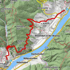
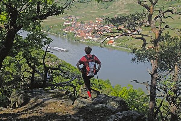
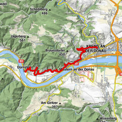
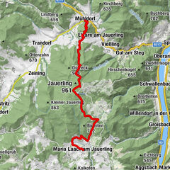
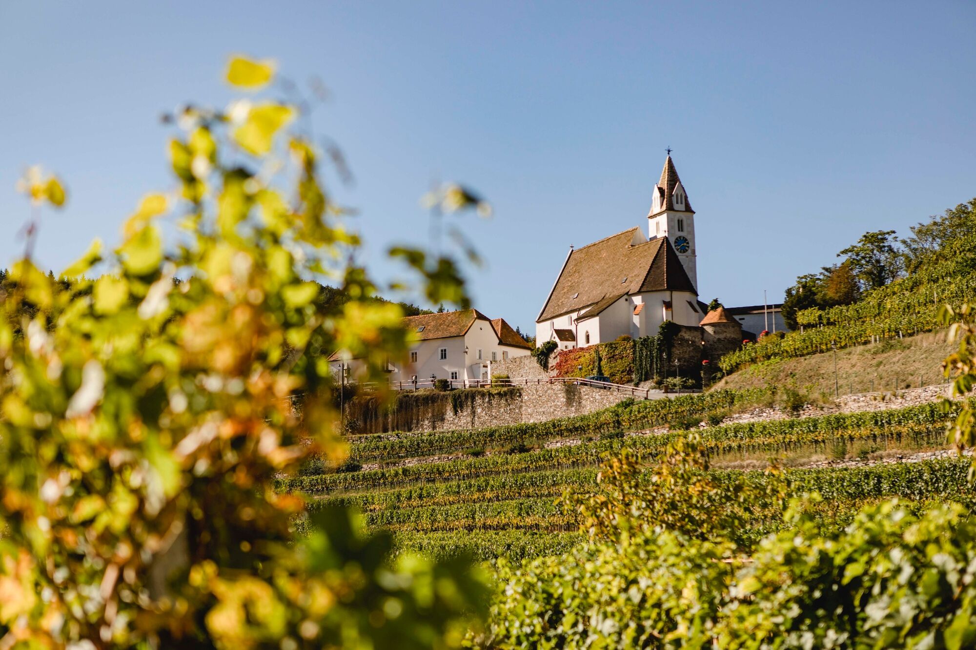
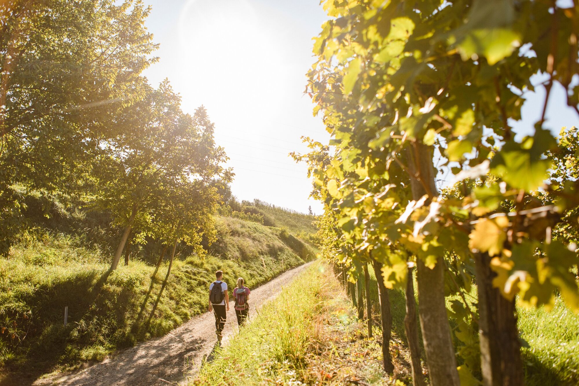
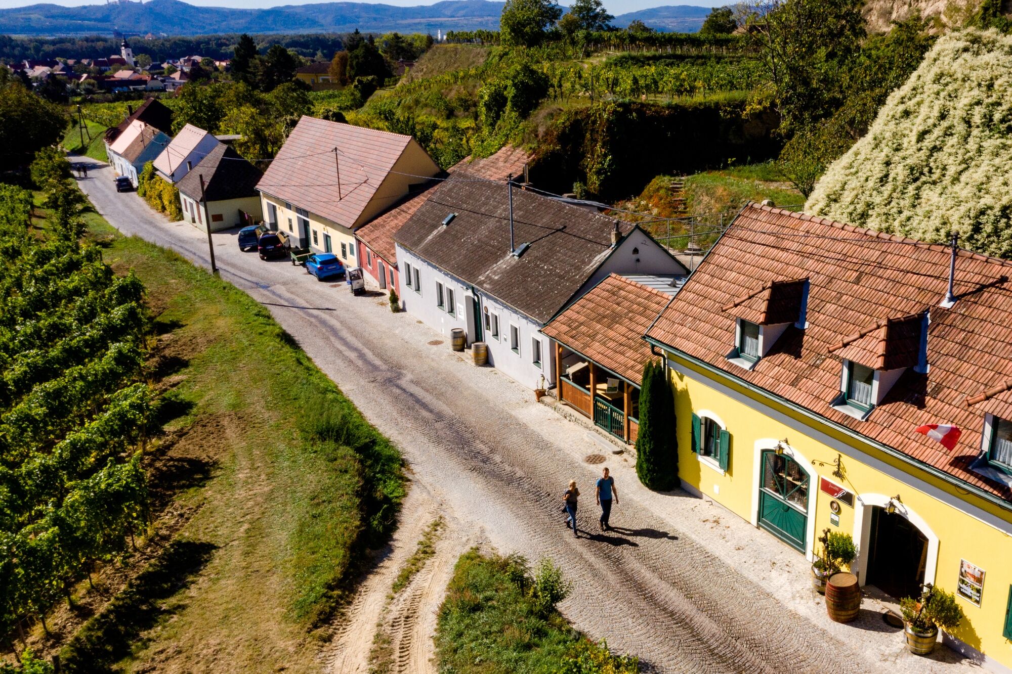
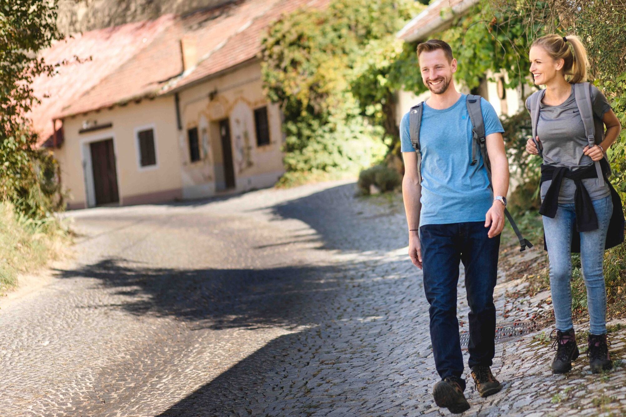
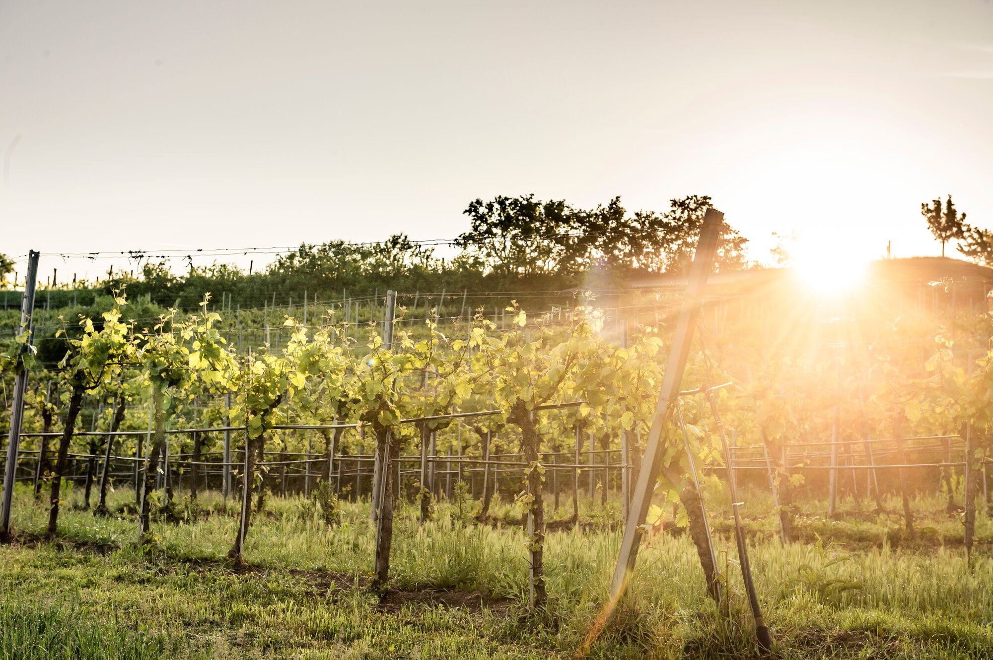
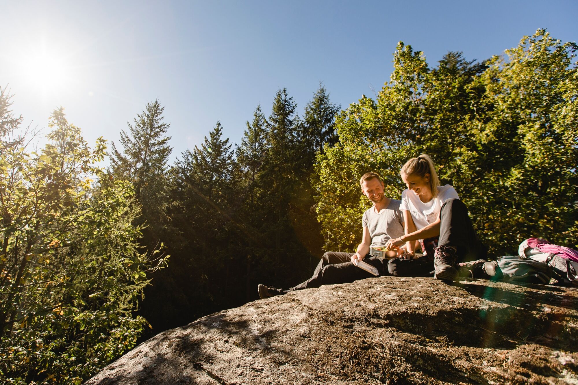
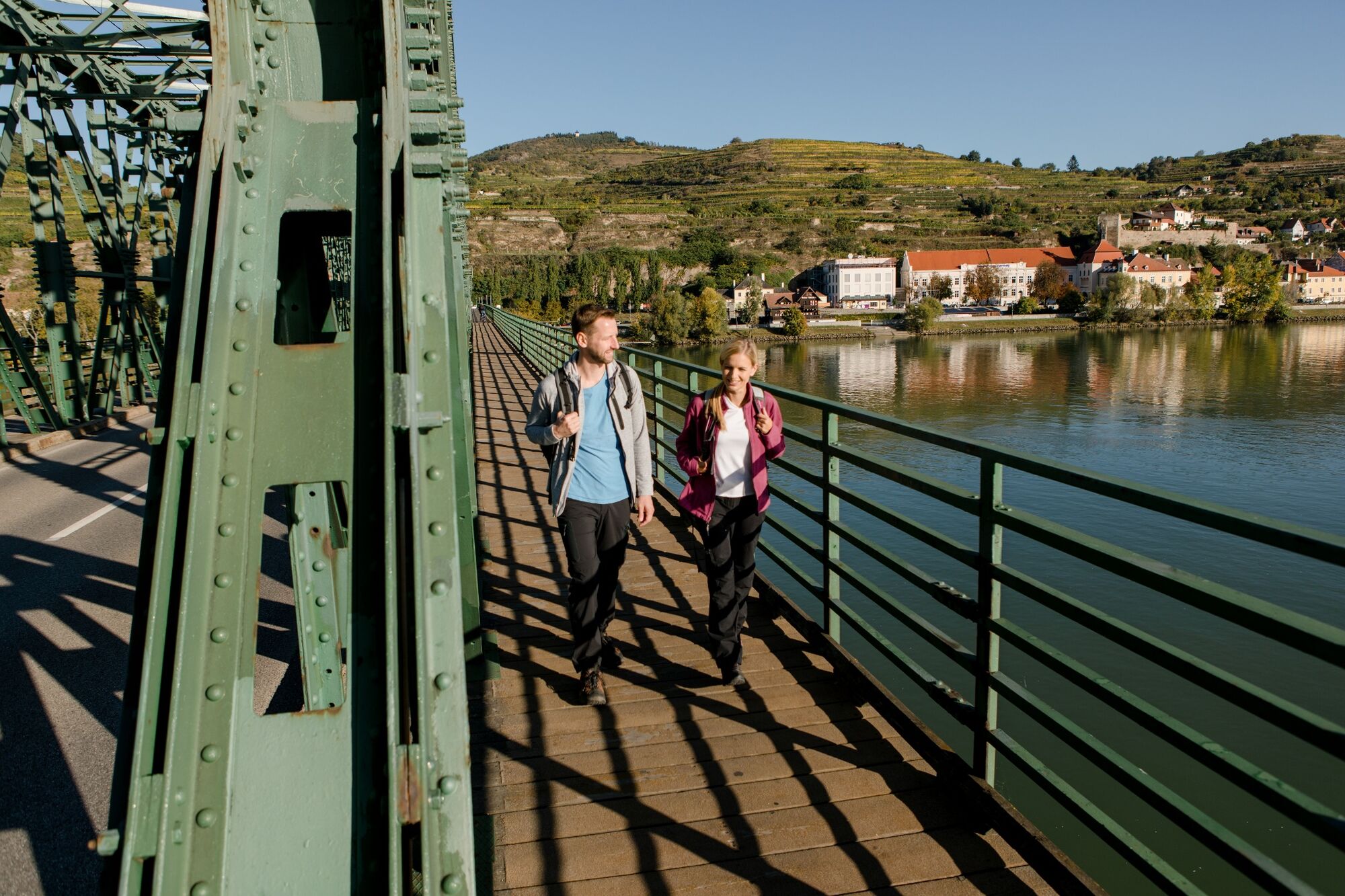
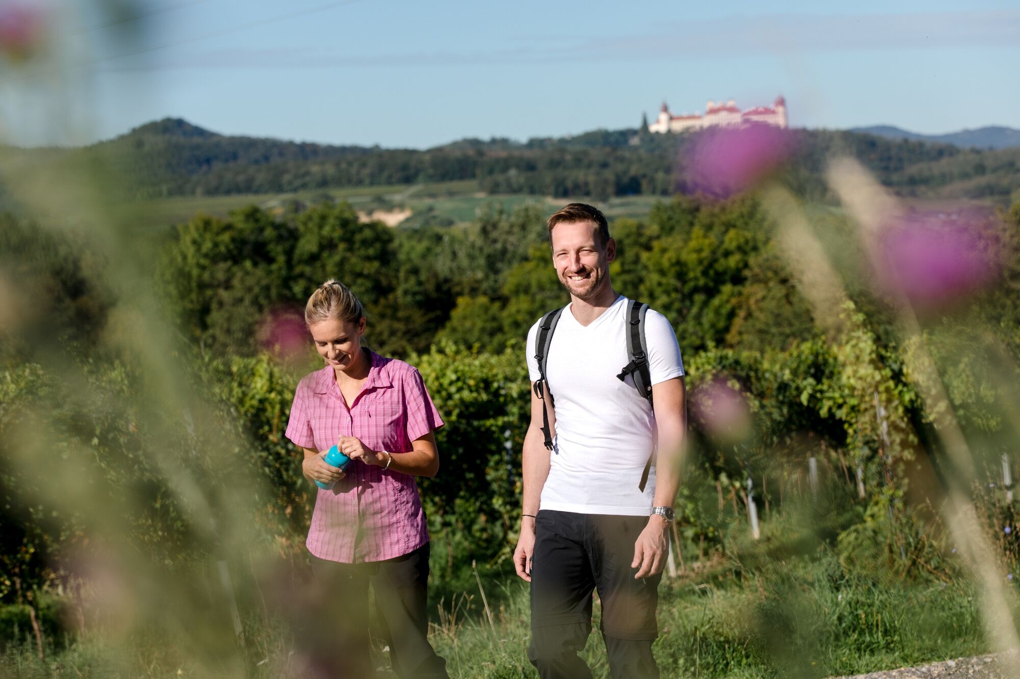
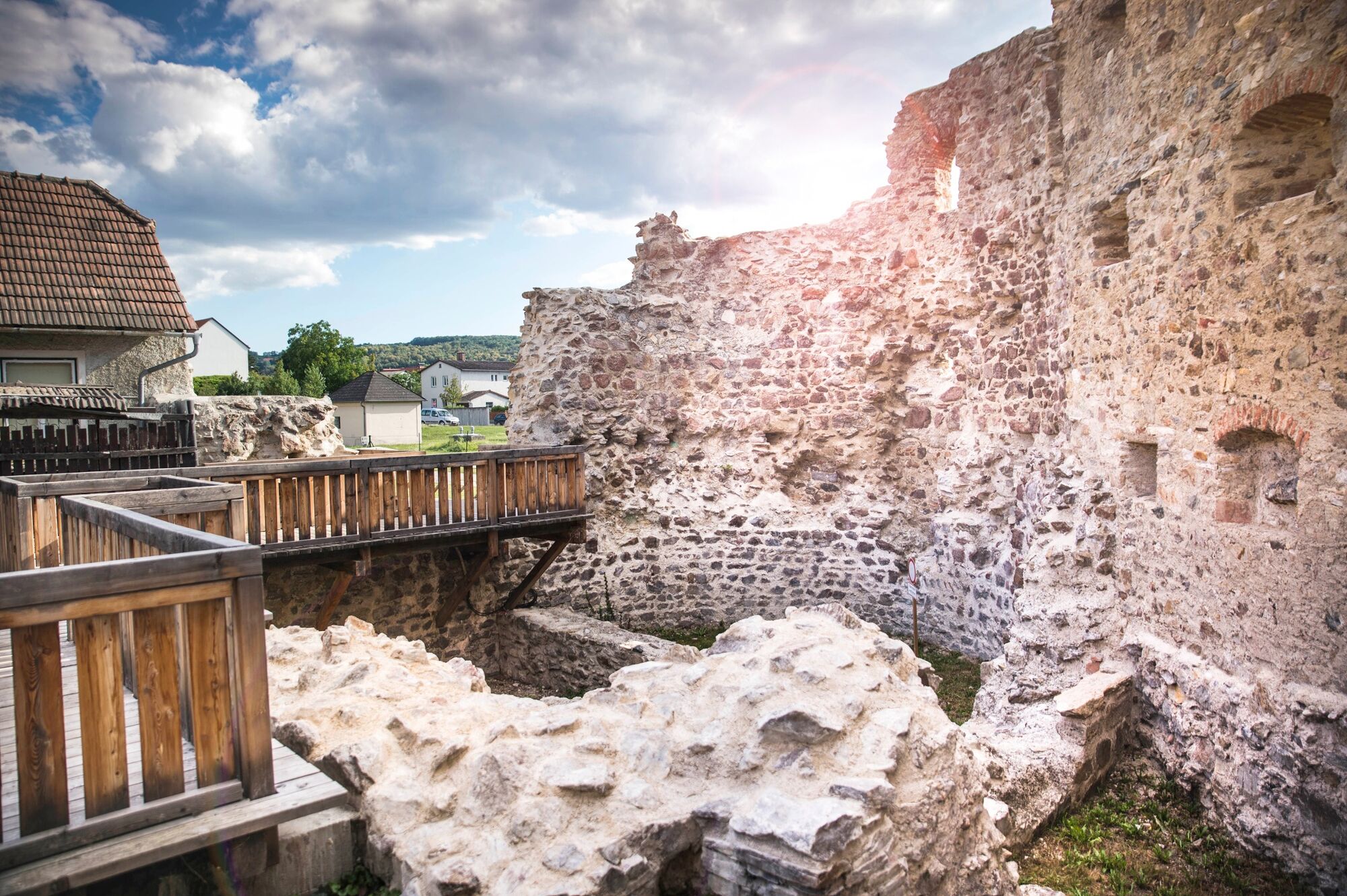
The versatile Kremstal-Donau long-distance hiking trail runs 61.4 miles between the Wachau and Kamptal valleys. Along the picturesque route, idyllic nature combines the finest culinary delights and regional culture, crowned by numerous excursion destinations. From the magnificent Göttweig Abbey and the Senftenberg ruins to the wine experience worlds and forest nature trails, the hike offers all kinds of exciting highlights. Divided into 15 easy to moderately tricky stages, each between four and 11 miles long, the hike is ideal for families and sport-loving newcomers. The hilly landscape can be hiked by young and old and always entices with exciting stopovers. However, a little more time should be planned for each stage – so that the impressive sights can be explored leisurely along the way. For more details on the individual stages, all information is available for free download at www.kremstal.at
- Highest point
- 631 m
- Endpoint
-
Any, results from the selected stage
- Height profile
-

- Equipment
-
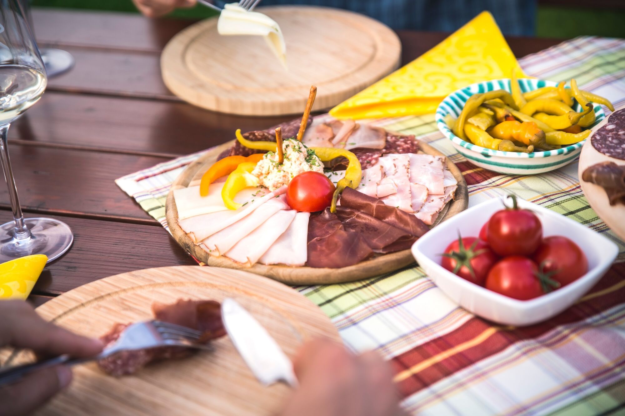
Sturdy hiking shoes, rain protection, sufficient food and drink, as well as a hiking map Kremstal-Donau and possibly a wine tavern calendar.
- Safety instructions
-
Please note the following tips and advice to ensure that your hiking holiday is a beautiful experience:
Stay on the marked trails and wear mountain/hiking boots. Please do not leave your rubbish along the path. Carry enough food (water/snacks) with you. Take the hiking map with you or use the free hiking app. Respect the sensitive habitats of flora and fauna. - Tips
-
Allow enough time to visit the worthwhile destinations in the region, e.g. the Art Mile Krems with the Landesgalerie Niederösterreich.
- Directions
-
From Vienna via the A22 and the S5 to Krems.
From the A1 Westautobahn from St. Pölten via the S33 to Krems.
From the A1 Westautobahn to Melk and on the B3 to Krems (through the Wachau).
- Public transportation
- Parking

- Author
-
The tour Kremstal-Danube Long Distance Trail total is used by outdooractive.com provided.


General info
-
Donau Niederösterreich
2287
-
Kamptal - Manhartsberg
1158
-
Stratzing
641