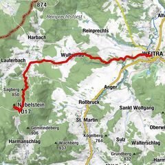
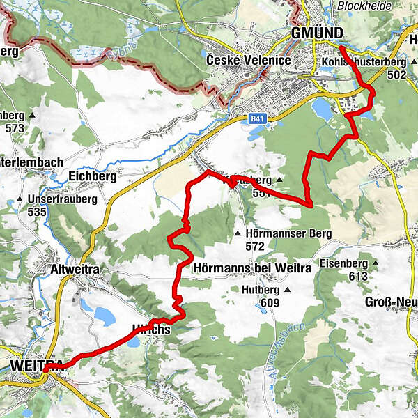
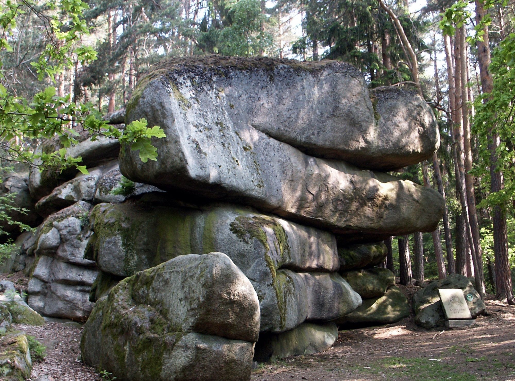
Thayatalweg 630 - 2. Etappe: Weitra - Gmünd

long-distance walking trail

© Gerold Gutmann - Destination Waldviertel

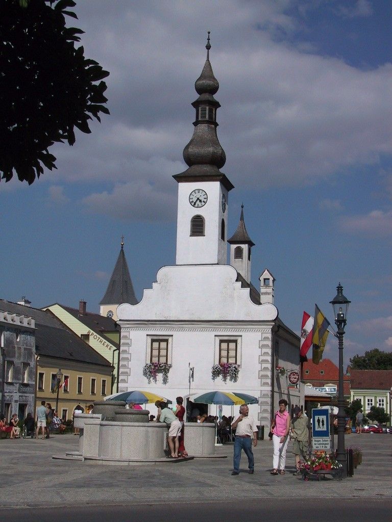
© Gerold Gutmann - Destination Waldviertel


- Brief description
-
Weitra (570 m) - Dietmanns (500 m) - Gmünd (485 m)
- Difficulty
-
easy
- Rating
-
- Route
-
WeitraUlrichs2.4 kmGmünd17.8 km
- Highest point
- 616 m
- Endpoint
-
Gmünd
- Height profile
-


- Author
-
The tour Thayatalweg 630 - 2. Etappe: Weitra - Gmünd is used by outdooractive.com provided.
GPS Downloads


General info
Refreshment stop
Other tours in the regions
-
Waldviertel
1776
-
Oberes Waldviertel
614
-
Gmünd im Waldviertel
130