Haute Route 9. Etappe: Ybbstaler Hütte – Hochkarschutzhaus

long-distance walking trail

© Mostviertel - Mostviertel Tourismus GmbH
- Difficulty
-
difficult
- Rating
-
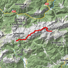
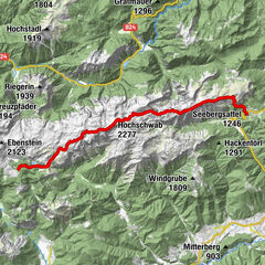
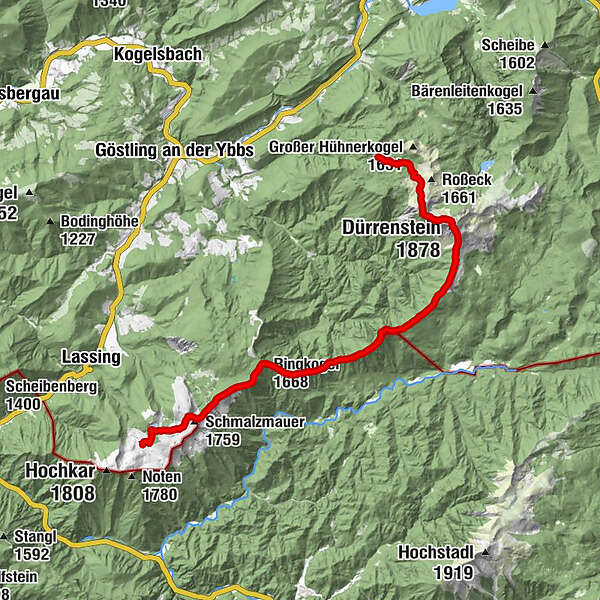
- Route
-
Legsteinquelle1.7 kmDürrenstein (1,878 m)4.6 kmEdelwies6.5 kmKleckplanhöhe (1,407 m)7.7 kmSonnstein (1,391 m)8.1 kmTremmel (1,201 m)11.7 kmGamskogel (1,330 m)12.5 kmSchwarzkogel (1,547 m)13.6 kmRingkogel (1,668 m)14.4 kmMunzenplan (1,585 m)15.6 kmGeißhöhe (1,648 m)16.3 kmSchmalzmauer (1,759 m)17.7 km
- Highest point
- 1,839 m
- Endpoint
-
Hochkarschutzhaus
- Height profile
-

- Author
-
The tour Haute Route 9. Etappe: Ybbstaler Hütte – Hochkarschutzhaus is used by outdooractive.com provided.
GPS Downloads


Other tours in the regions
-
Erzberg Leoben
2531
-
Hochschwab
1272
-
Wildalpen
255