07 Grenzlandweg, 16. Etappe: Station U6 Donauinsel - Bisamberg

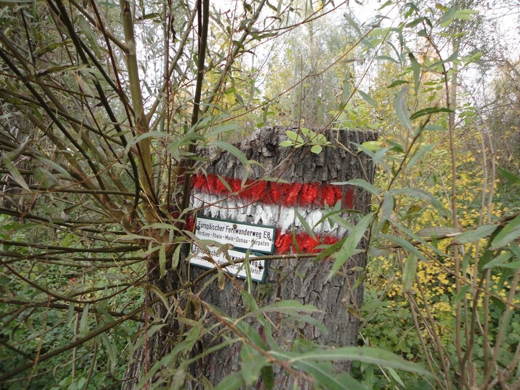
long-distance walking trail
© gert gasperin
© gert gasperin
© gert gasperin
© gert gasperin
© gert gasperin
© gert gasperin
© gert gasperin
© gert gasperin
© gert gasperin
© gert gasperin
Tour data
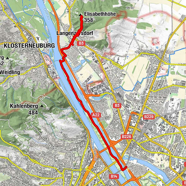
12.97km
156
- 353m
178hm
02:30h
- Brief description
-
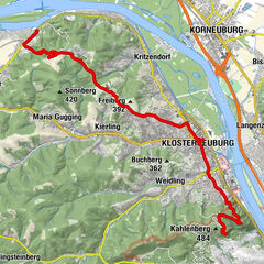
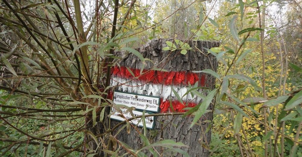
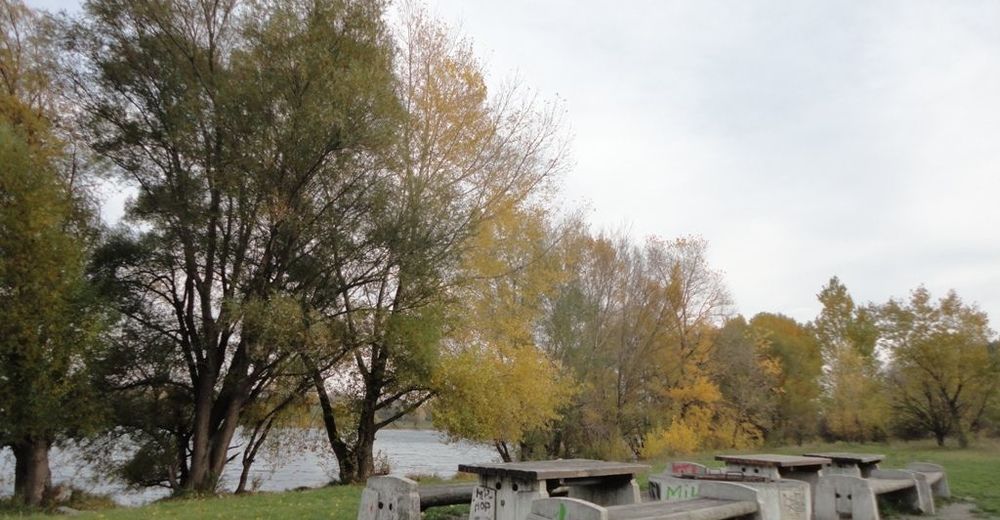
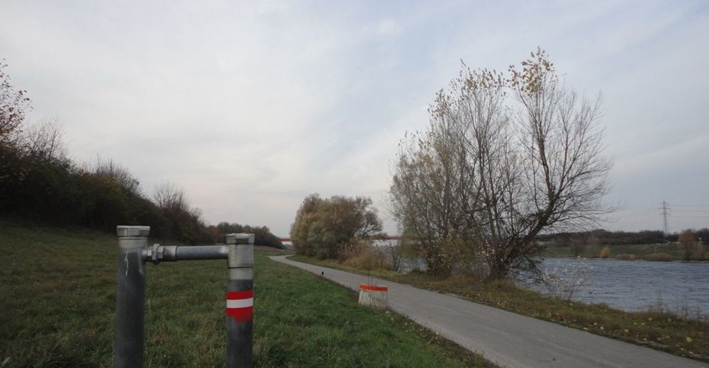
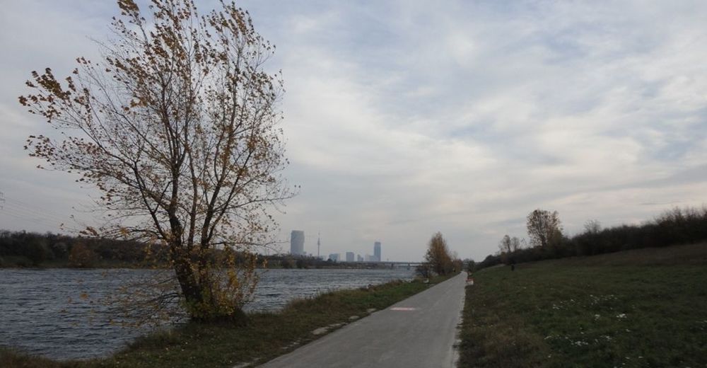
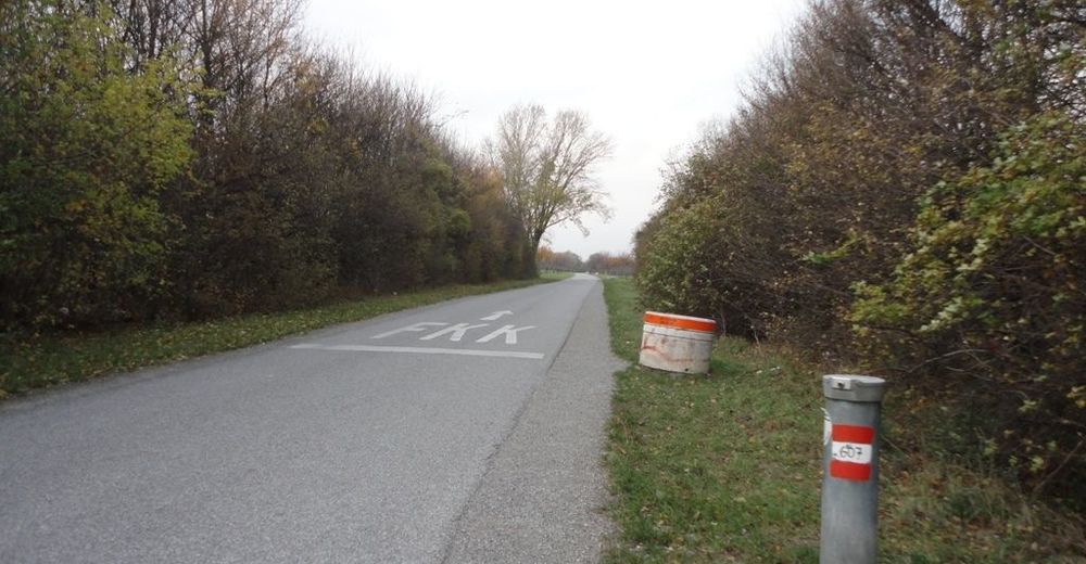
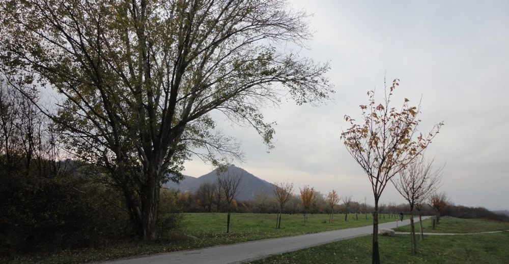
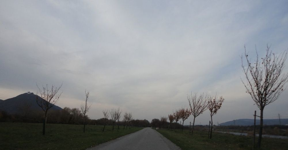
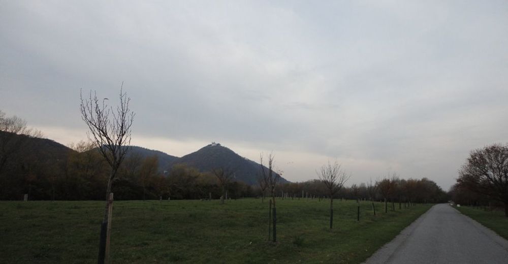
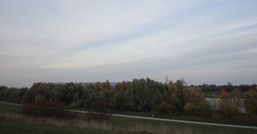
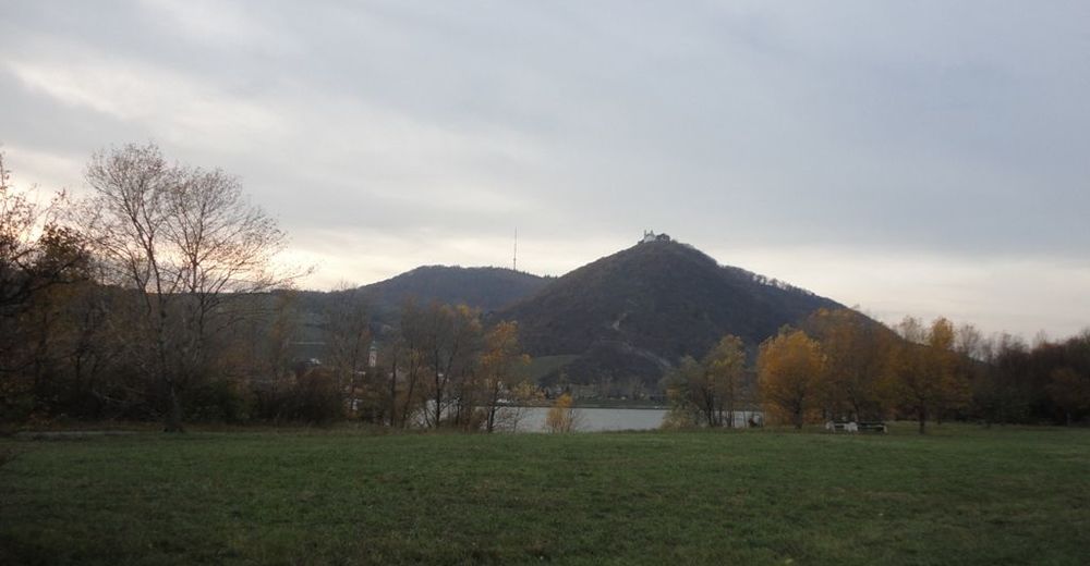
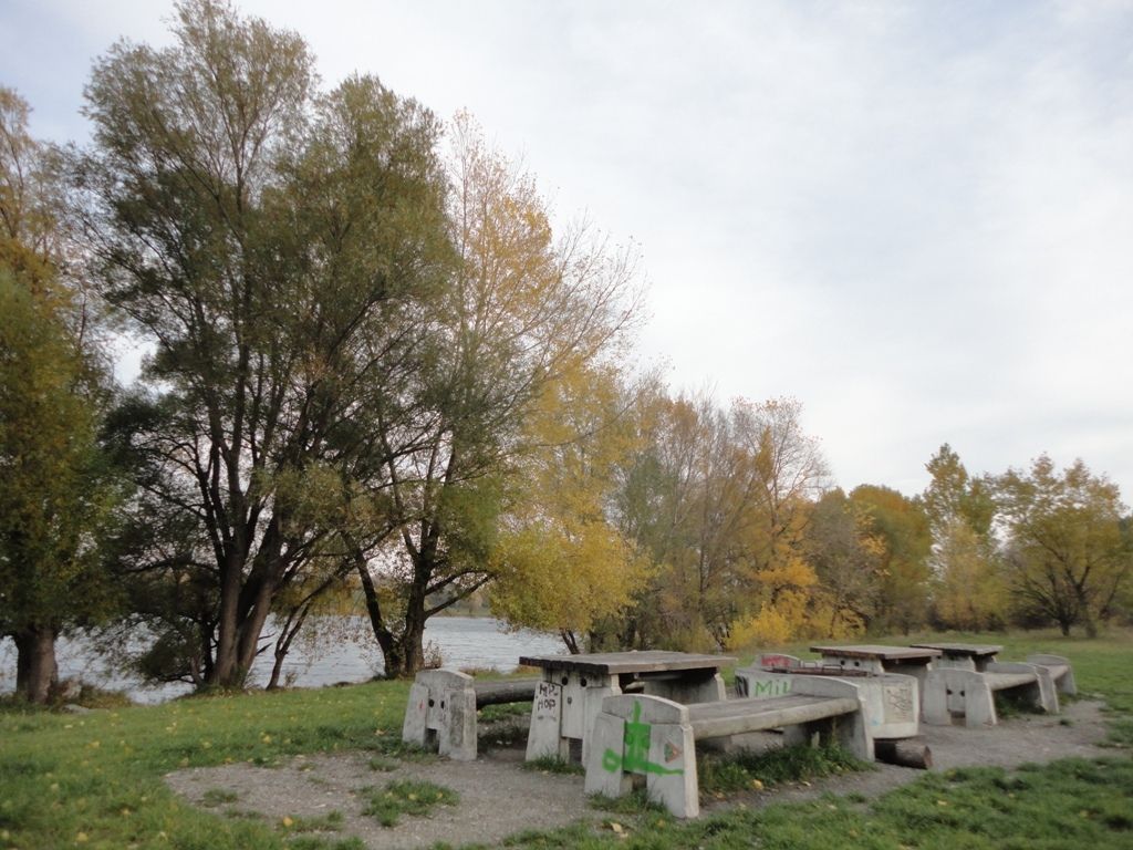
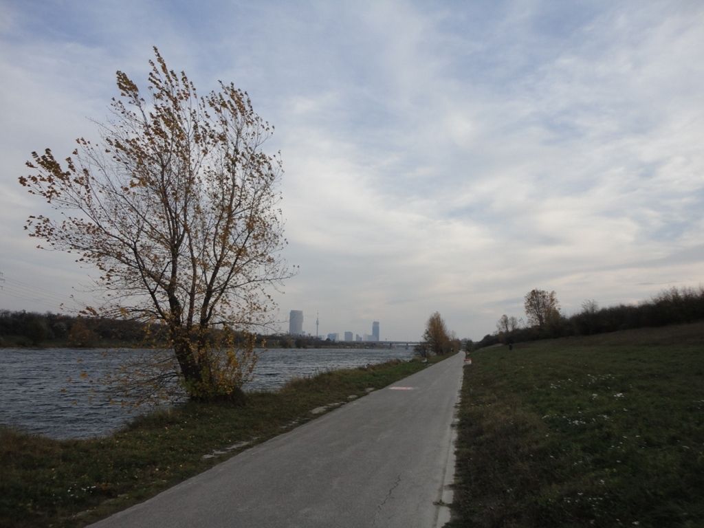
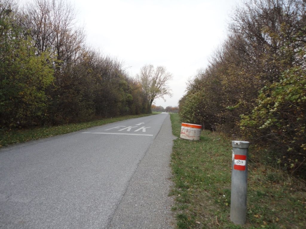
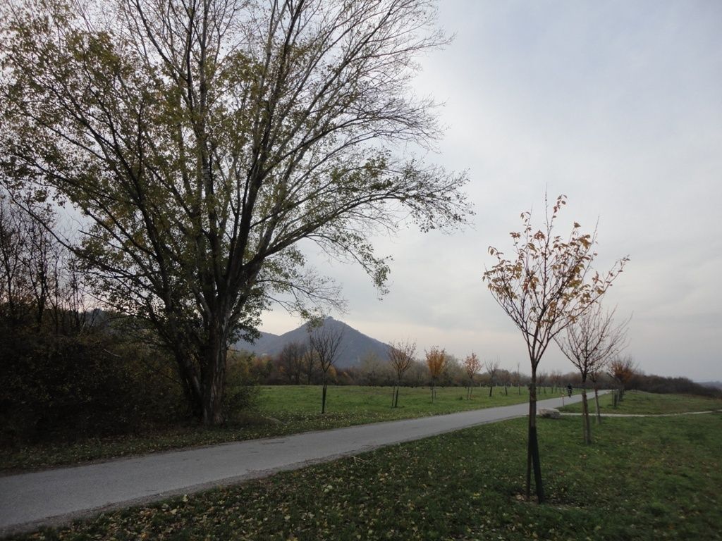
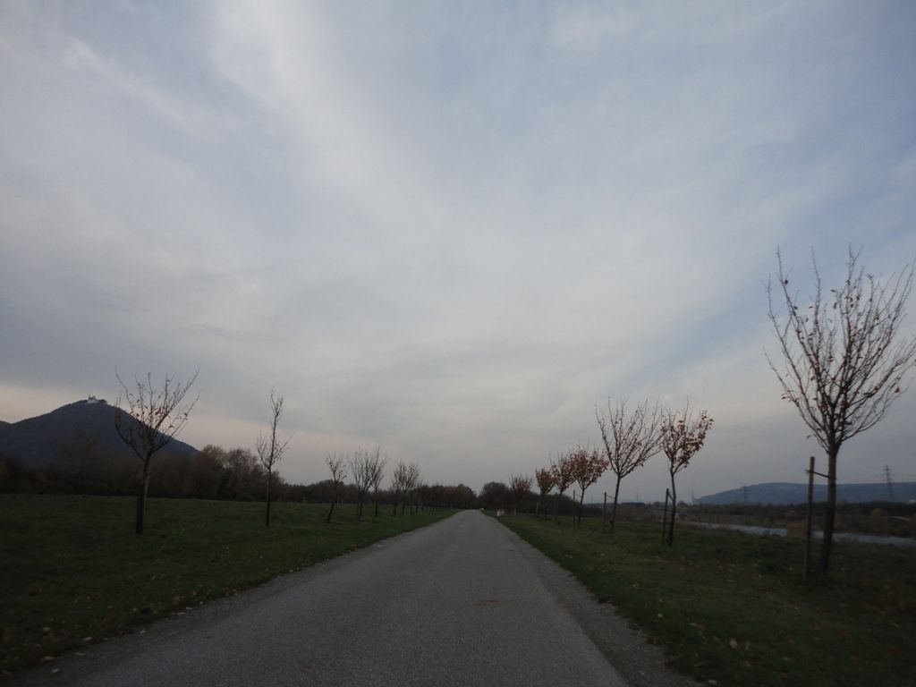
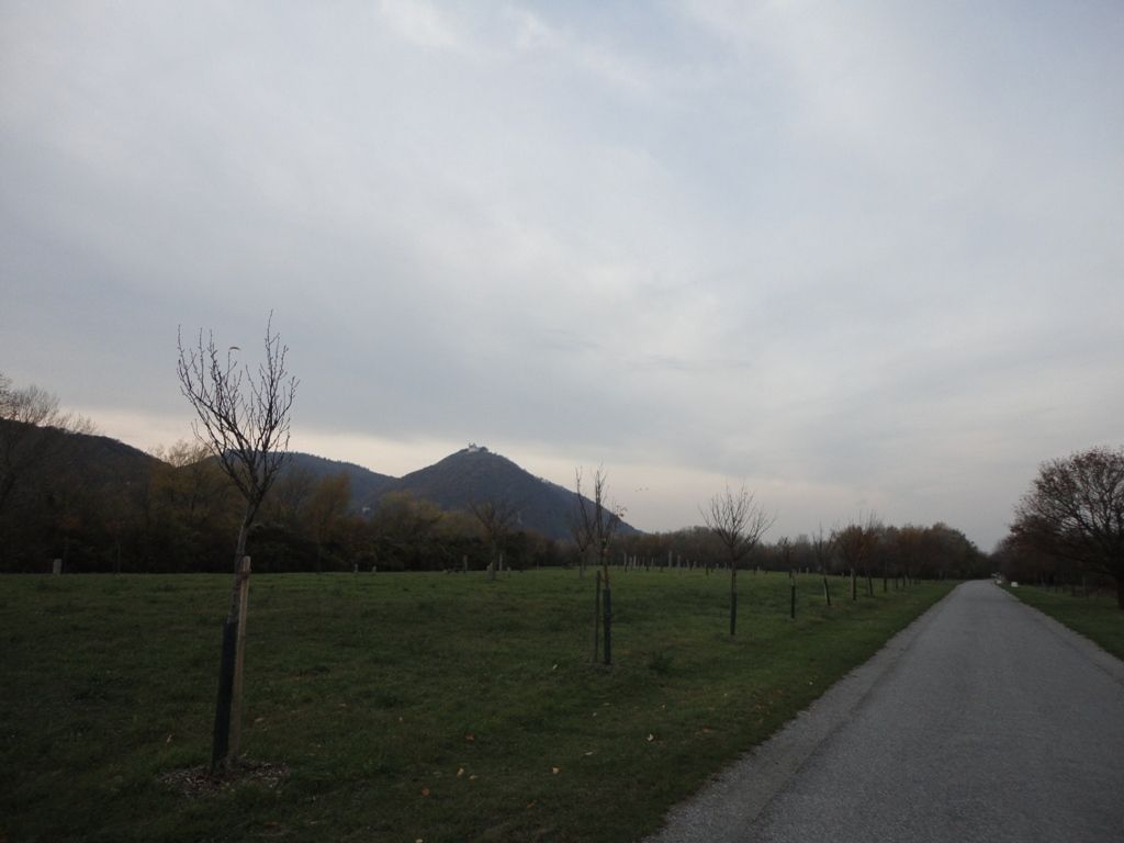
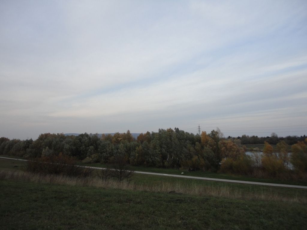
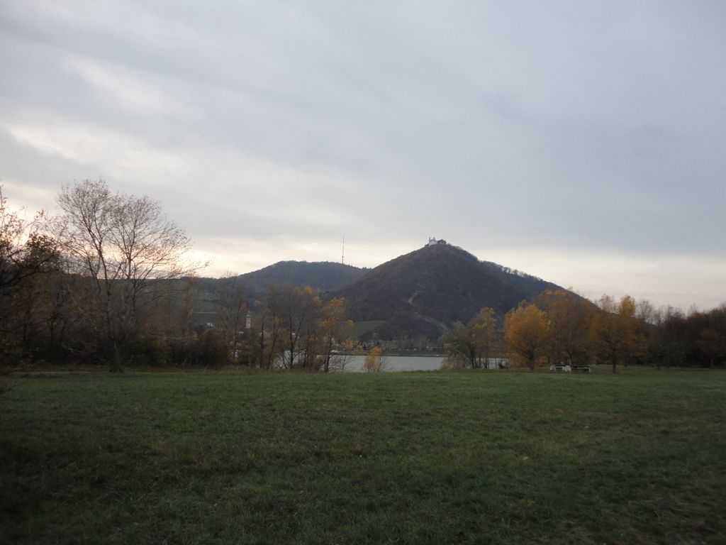
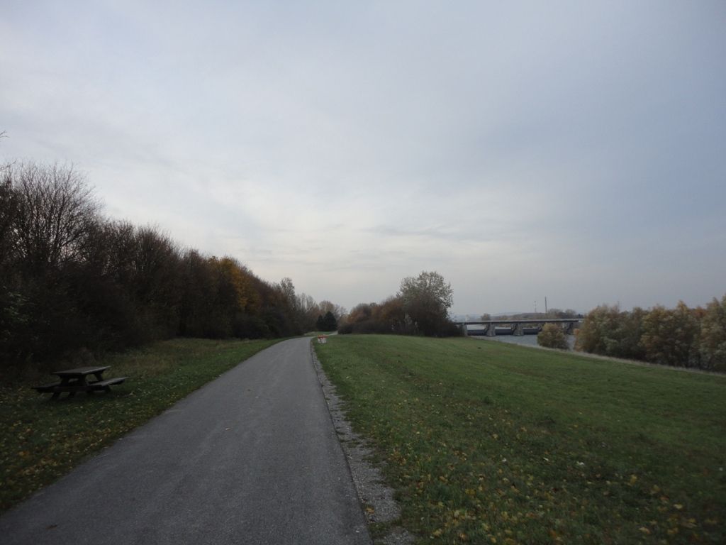
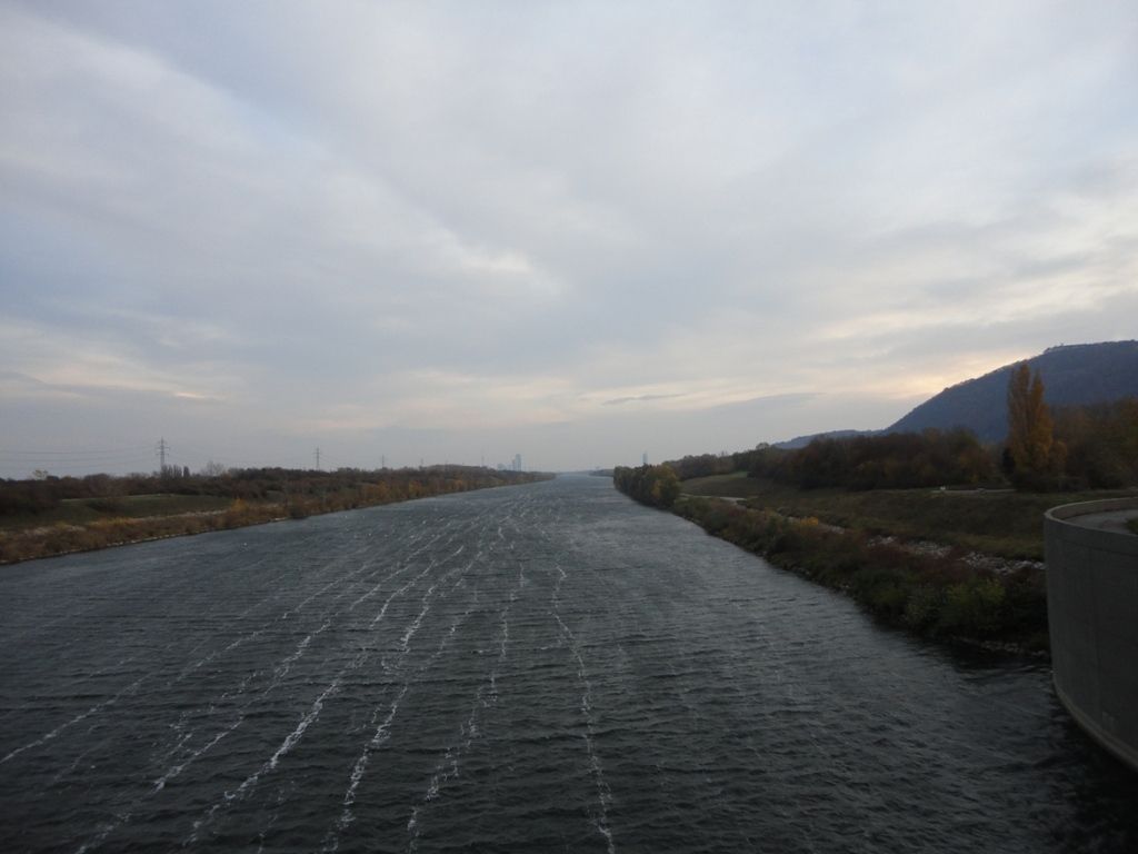
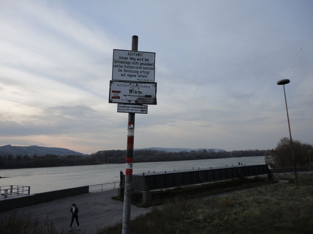
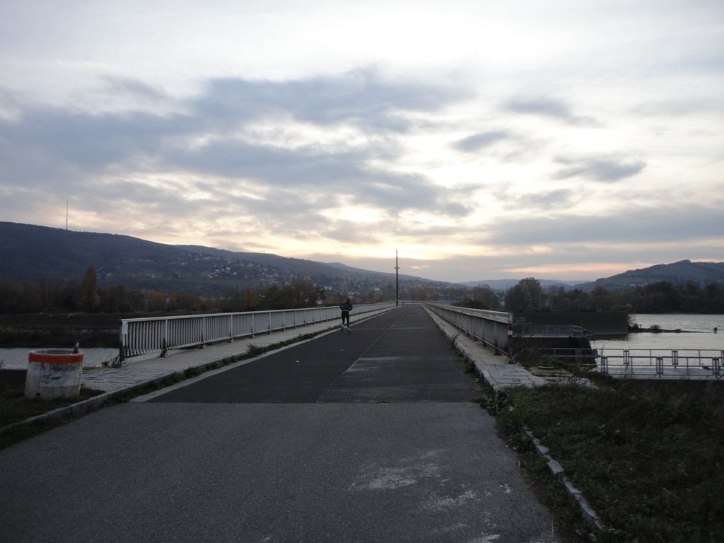
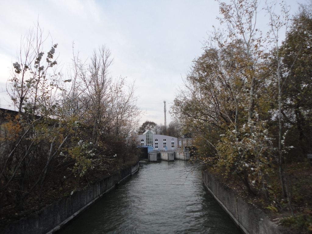
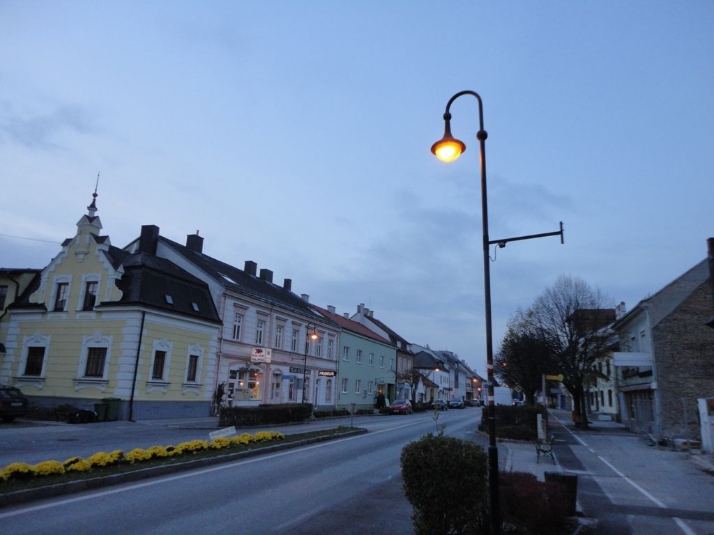
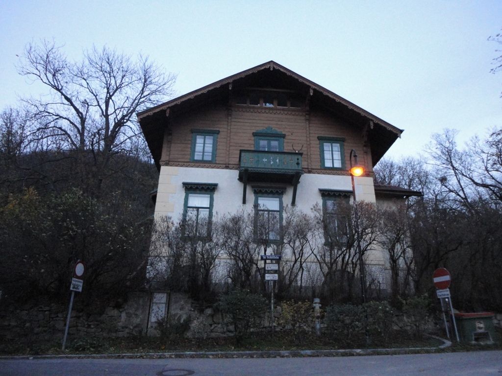
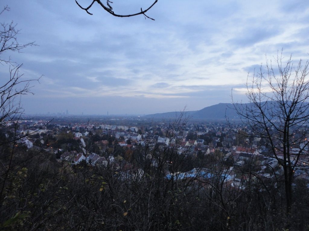
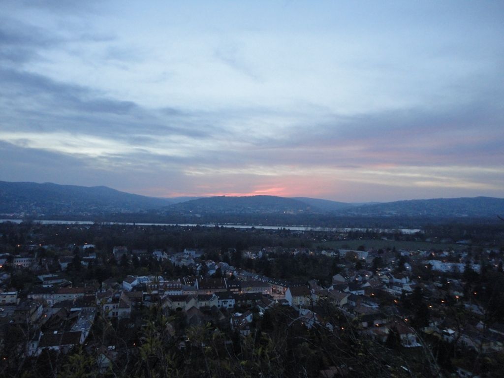
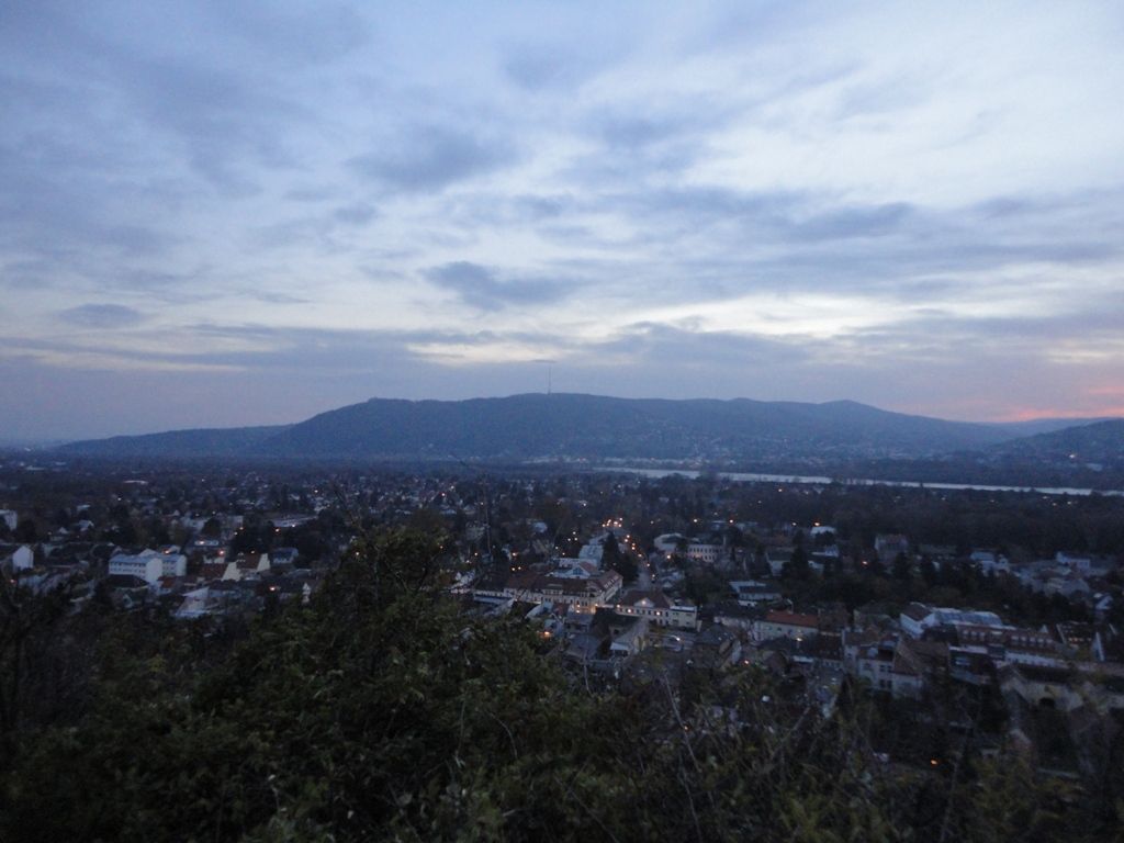
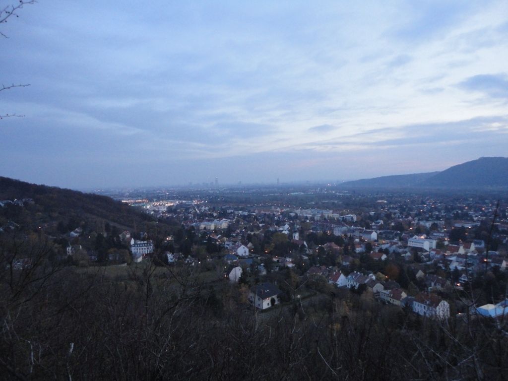
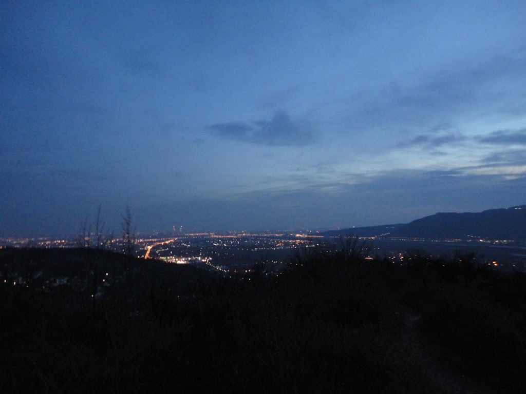
Schnurgerade und ohne Höhenunterschied geht es auf der Donauinsel stromaufwärts bis zum Einlaufbauwerk, dann durch Langenenzersdorf zum Fußes des Bisamberges. Von dort sind ungefähr 170 Höhenmeter bis zur Elisabethhöhe zu bewältigen.
- Difficulty
-
easy
- Rating
-
- Starting point
-
U6 Station Donauinsel
- Route
-
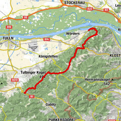
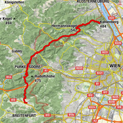
Neue Donau0.0 kmVienna (542 m)0.3 kmNordbrücke1.8 kmKlosterneuburg8.2 kmLangenzersdorf12.5 km
- Best season
-
JanFebMarAprMayJunJulAugSepOctNovDec
- Highest point
- 353 m
- Endpoint
-
Bisamberg


GPS Downloads


Trail conditions
Asphalt
Gravel
Meadow
Forest
Rock
Exposed
Other tours in the regions
-
Wienerwald
4208
-
Wien und Umgebung
2477
-
Langenzersdorf
962