alpannonia - Regionale Route Gschaidt - Prägart

long-distance walking trail

© Tourismusverband Südburgenland - Hans-Peter Neun
- Brief description
-
Diese regionale Route verbindet Gschaidt mit dem alpannonia-Hauptweg bei Prägart.
- Difficulty
-
medium
- Rating
-
- Route
-
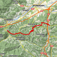
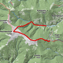
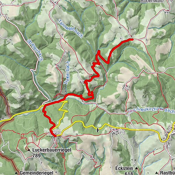
Landgasthof Höller0.0 kmGschaidt0.0 kmPfarrkirche St. Magdalena0.1 kmKapelle1.9 kmZöbersdorf3.7 kmKapelle3.7 kmHosien6.8 km
- Best season
-
JanFebMarAprMayJunJulAugSepOctNovDec
- Highest point
- 766 m
- Endpoint
-
alpannonia-Hauptweg Höhe Prägart
- Height profile
-


- Author
-
The tour alpannonia - Regionale Route Gschaidt - Prägart is used by outdooractive.com provided.
GPS Downloads


General info
A lot of view
Other tours in the regions
-
Wiener Alpen
3045
-
Kräuterregion Wechselland
1084
-
Hochneukirchen - Gschaidt
197