alpannonia - Regionale Route Trattenbach - Kranichberger Schwaig

long-distance walking trail
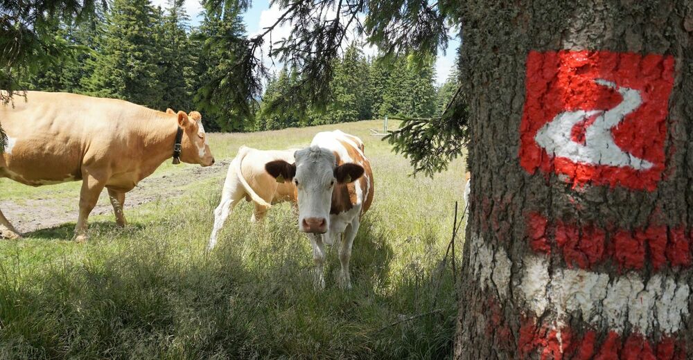
© Wiener Alpen in Niederösterreich - Alpannonia - Hans-Peter Neun
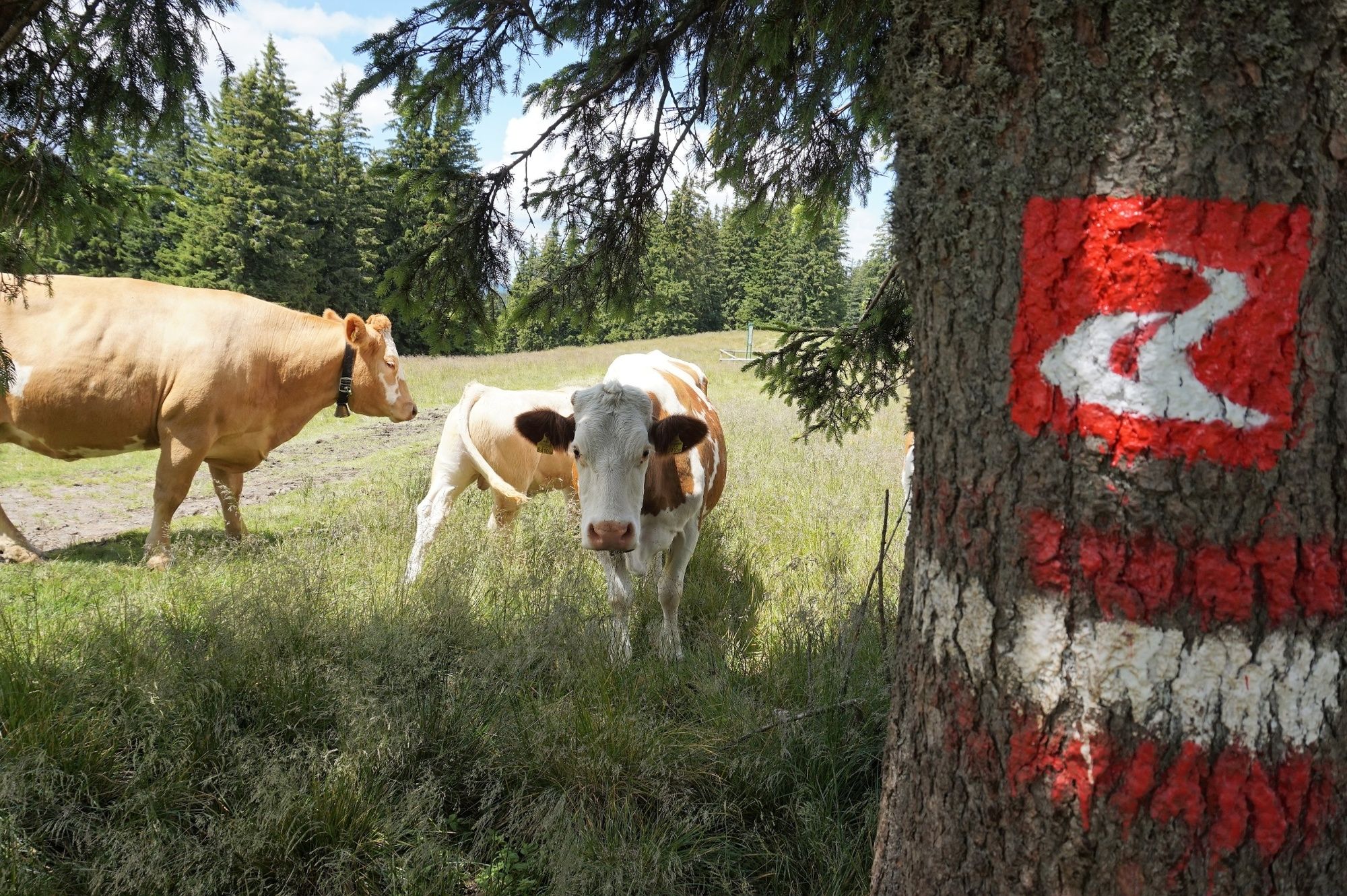
© Wiener Alpen in Niederösterreich - Alpannonia - Hans-Peter Neun
- Brief description
-
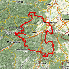
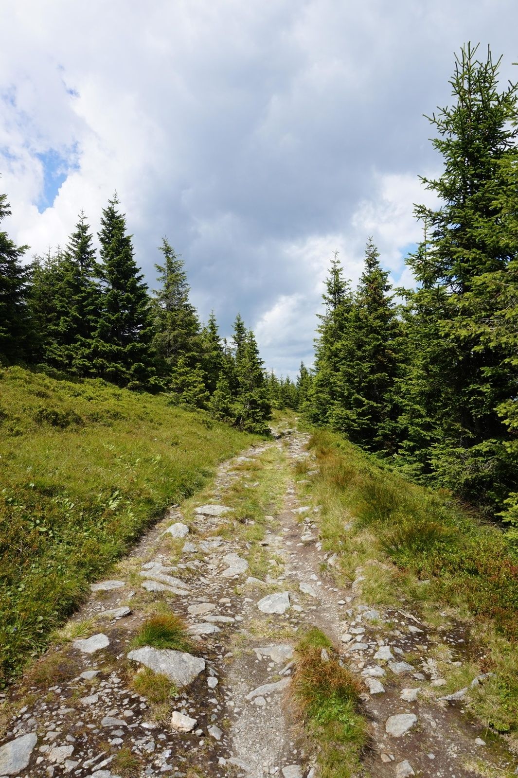
Diese alpannonia - Verbindungsvariante führt uns von Trattenbach entlang des Trattenbachgraben über die Steyersberger Schwaig zum Hauptweg bei der Kranichberger Schwaig.
- Difficulty
-
medium
- Rating
-
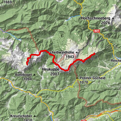
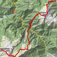
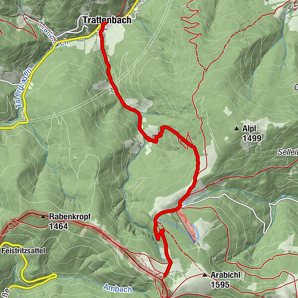
- Route
-
TrattenbachDretenpacherhof0.0 kmKranichberger Schwaig6.5 km
- Best season
-
JanFebMarAprMayJunJulAugSepOctNovDec
- Highest point
- 1,535 m
- Endpoint
-
Kranichberger Schwaig
- Height profile
-

- Author
-
The tour alpannonia - Regionale Route Trattenbach - Kranichberger Schwaig is used by outdooractive.com provided.
GPS Downloads


General info
Refreshment stop
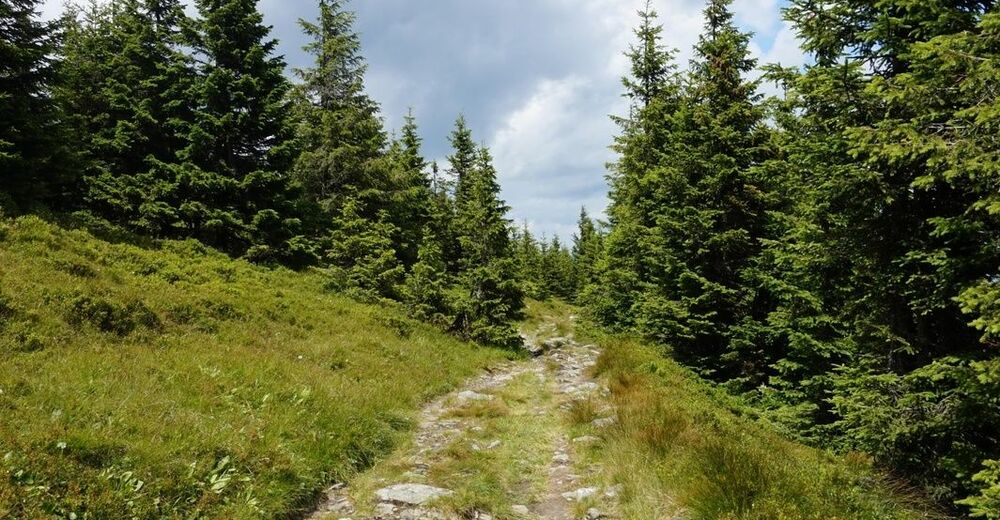
A lot of view
Other tours in the regions
-
Wiener Alpen
3048
-
Semmering - Rax
2314
-
Trattenbach - Feistritzsattel
670