
- Brief description
-
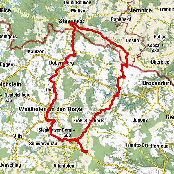
Göpfritz/Wild – Groß Siegharts – Raabs/Thaya – Pisečné (CZ) – Slavonice (CZ) – Waldkirchen – Dobersberg – Thaya – Waidhofen/Thaya – via Windigsteig or via Dietmanns and Groß Siegharts to Göpfritz/Wild
- Difficulty
-
easy
- Rating
-
- Starting point
-
Free choice
- Route
-
GöpfritzGroß-Siegharts9.8 kmSieghartsles11.8 kmWeinern13.8 kmOberndorf bei Raabs19.4 kmRaabs an der Thaya21.1 kmRaffetseder21.1 kmStrohmer21.1 kmStadtkrug21.3 kmRaabs an der Thaya21.5 kmModsiedl23.1 kmSüdmährerkapelle26.8 kmGroßau27.2 kmSchaditz32.0 kmTiefenbach34.2 kmRanzern35.7 kmPiesling42.1 kmSlawathen47.9 kmZlabings51.8 kmNanebevzetí Panny Marie51.9 kmsv. Jan Nepomucký52.0 kmsv. Kříž52.1 kmbufet52.3 kmZlabings (520 m)52.4 kmGilgenberg58.2 kmWaldkirchen an der Thaya59.4 kmHanftal60.8 kmLexnitz63.3 kmDobersberg65.0 kmVestenötting77.6 kmWaidhofen an der Thaya (510 m)80.2 kmOrtskapelle81.8 kmJasnitz81.8 kmGötzweis82.8 kmWohlfahrts84.4 kmVestenpoppen84.7 kmOrtskapelle84.8 kmMeires87.1 kmKottschallings87.3 kmWindigsteig88.7 kmPfarrkirche hl. Laurentius89.0 kmWaldberg91.1 kmKapelle Weinpolz93.2 kmWeinpolz93.3 kmGöpfritz100.9 km
- Description
-
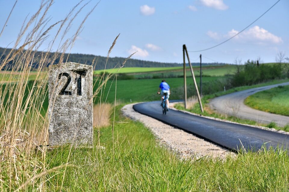
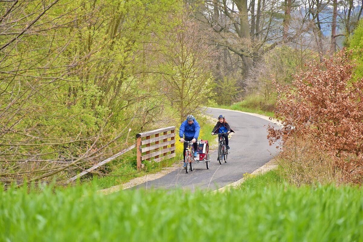
The Thaya Tour Cycle Path runs chiefly along the former rail tracks of Waidhofen-Slavonice and Göpfritz-Raabs. The steam locomotives of the day being unable to master steep inclines, the railroad engineers leveled the landscape. Today, this provides the ideal conditions for going on a relaxed cycling tour together, especially for families. 45% of the route is a newly paved cycling path and 55% unpaved side routes.
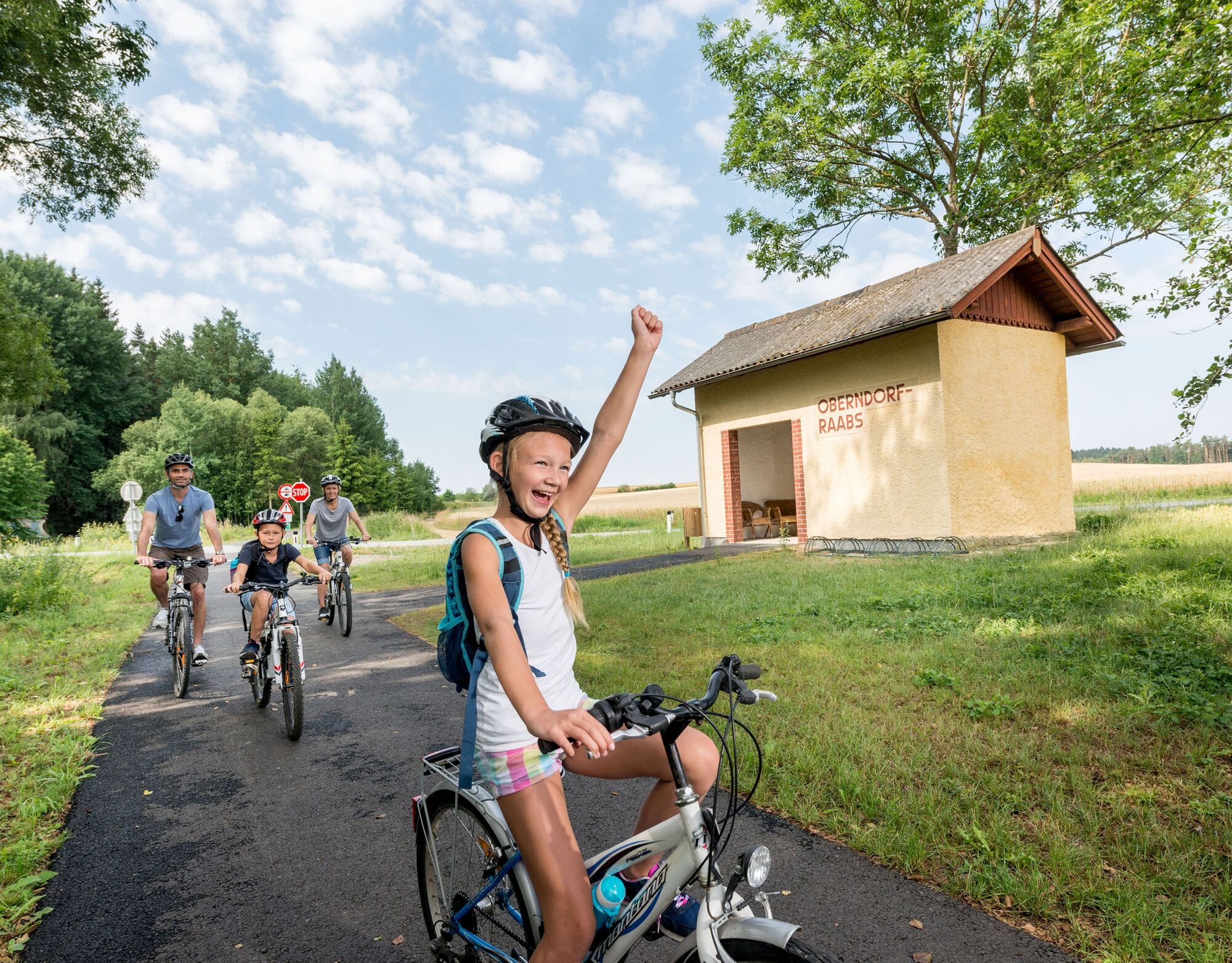
In order to get from one track to another, the routes are linked via light traffic streets and paths to which in part the two top cycling paths lead: the Kamp-Thaya-March-Cycling Route and the Iron Curtain Trail (Euro Velo 13). - Directions
-
The 5 legs of the Thaya tour:
1. Göpfritz an der Wild – Groß-Siegharts – Raabs an der Thaya
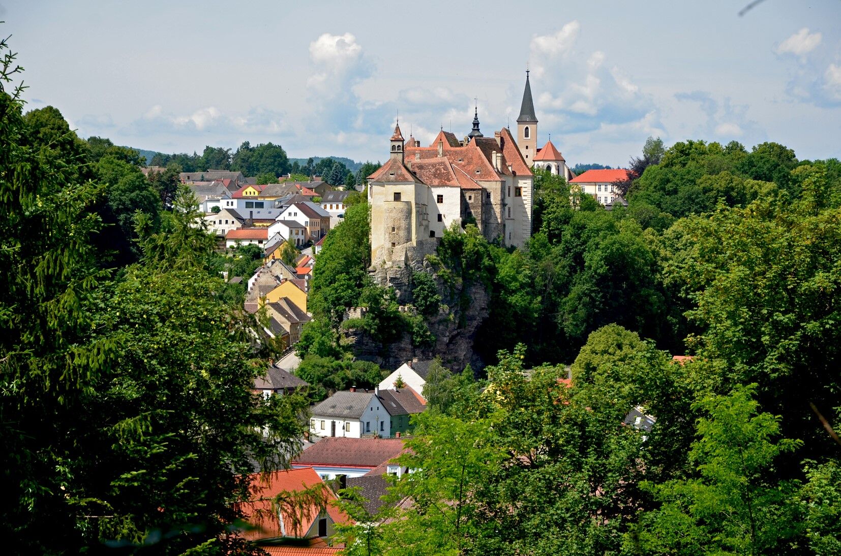
Ca. 21 kilometers (rail tracks 100% paved, no major inclines): Runs along the former rail tracks Göpfritz – Groß-Siegharts – Raabs. The route leading into Raabs with the panorama of the Raabs castle is especially impressive.2. Raabs an der Thaya – Slavonice
Ca. 31 kilometers (96% paved, moderate inclines): 2/3 of the route in the Czech Republic are on the light-traffic country road 409 together with cycling paths 48 and 26. The city of Slavonice and the Jewish Cemetery in Písečné are recommended sights.3. Slavonice – Waldkirchen – Dobersberg – Thaya – Waidhofen an der Thaya
Ca. 30 kilometers (rail tracks, 100% paved, no major inclines): Runs chiefly along the Thaya river with sights from the history of the railroad such as the old railroad cars at the Waldkirchen train station and the railroad bridges crossing the Thaya river.4. Waidhofen an der Thaya – Windigsteig –Göpfritz an der Wild
Ca. 22 kilometer (96% paved, moderate inclines): Runs chiefly on light-traffic cargo routes and country roads. This leg runs together with the KTM cycling path up to Windigsteig.
5. Groß-Siegharts – Dietmanns – Waidhofen an der Thaya
Ca. 15 kilometer (60% paved, moderate inclines): Recommended sights are the Naturstrasse leading to the Predigtstuhl and the route leading up to Waidhofen. To finish off the tour a connecting route runs from Groß Siegharts via Dietmanns and Hollenbach toward Waidhofen an der Thaya to the Train Station. This route is ca. 15km long and is the only section with significant inclines at Dietmanns. There, the Hollbenbacher Straße (an unpaved gravel road) runs close by the Predigtstuhl, the highest point in the Waidhofen an der Thaya district. - Highest point
- 597 m
- Endpoint
-
Free choice
- Height profile
-

- Additional information
- Arrival
-
Vienna - Stockerau - Horn - Göpfritz an der Wild Linz - Freistadt - Gmünd - Schrems - Vitis - Göpfritz an der Wild


- Author
-
The tour Thaya Tour Waldviertel is used by outdooractive.com provided.