Winter
Summer
Weather
Webcams
Accommodations
Tours
Search history
Search suggestions
No results found
Search
Tours
Home
Summer Italien
Marche
Tours
Rondje Monte San Vicino
Regions
Weather
Webcams
Tours
Highlights
Bathing lakes
Sports provider
Events
Ski resorts
Cross-country skiing
Snow parks
Rondje Monte San Vicino
Hiking
Bookmark
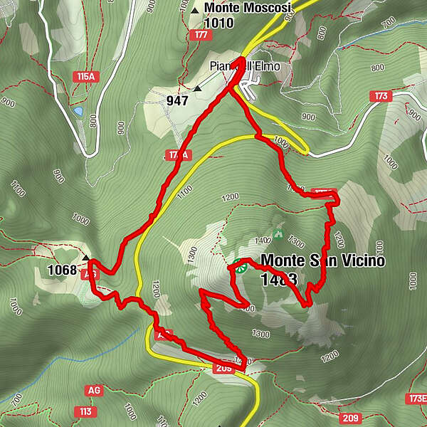
Map
show
hide
Print
Tour data
8.3
km
938 - 1,479
m
Distance
565
hm
559
hm
Ascent
02:30
h
Duration
Bert van Dijk
created am 16.06.2021
312
Views
Difficulty
easy
Rating
Technique
Fitness
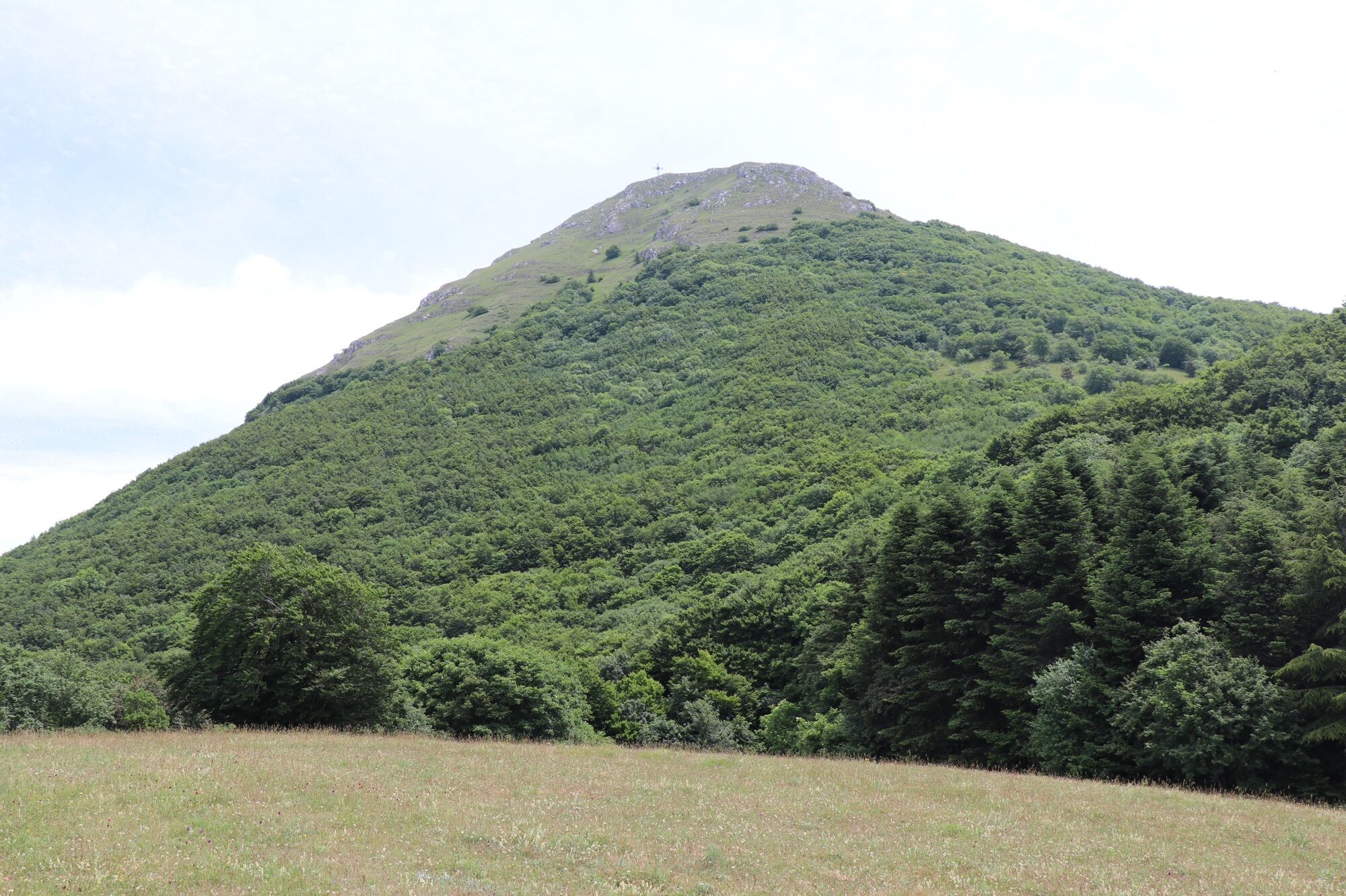
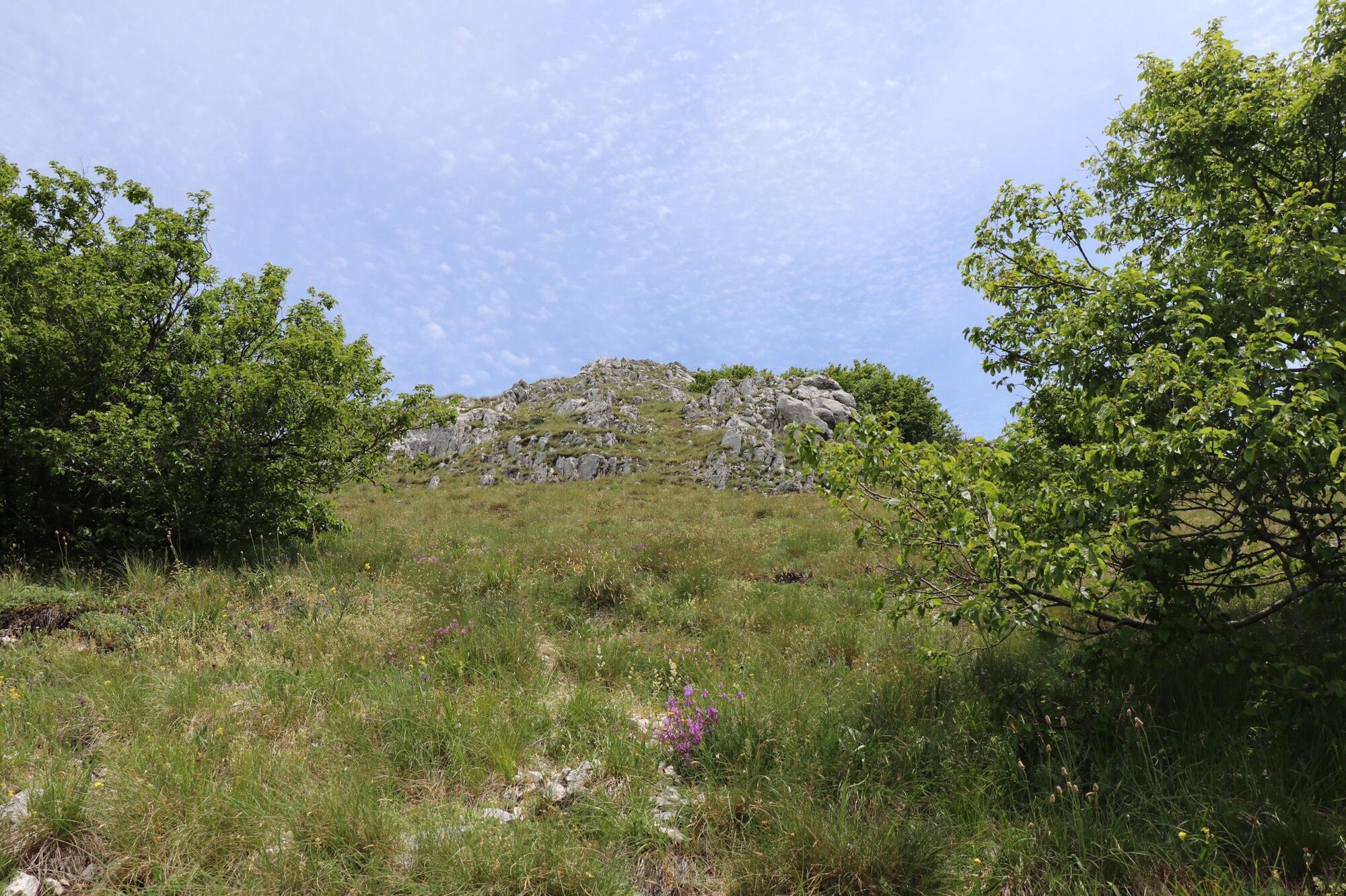
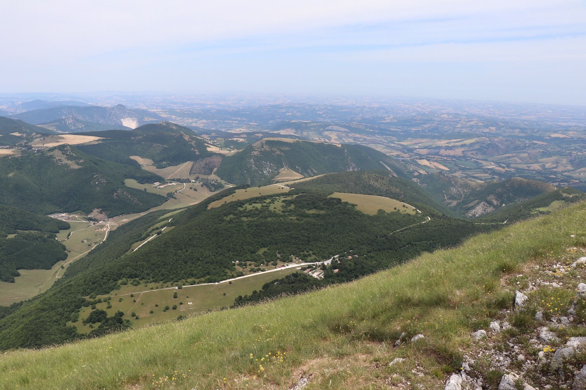
Landscape
Experience
Route
Pian dell'Elmo
hamlet
0.2 km
Prati di San Vicino
locality
3.3 km
Monte San Vicino
(1,483 m)
peak
5.1 km
Pian dell'Elmo
hamlet
8.1 km
Highest point
1,479 m
Write a review
Overall rating
5
0
%
4
0
%
3
0
%
2
0
%
1
0
%
Reviews
(0)
0 Comments
Write a review
Error
An error has occurred. Please try again.
Thank you for your review
Rating has been deleted
Report tour
GPS Downloads
GPX
GPS Exchange Format (XML)
KML
Google Earth, Google Maps
QR Download Codes for Mobile Phones
Rondje Monte San Vicino
QR Codes - tour download for cell phones
GPX
KML
No entries found.
The search is currently not available.
Please refine your search.
Local search results
(<= 25km)
More results
(> 25km)
%count% Search results
%name%
%type%
%elevation%
%population%
%lpButton%