- Brief description
-
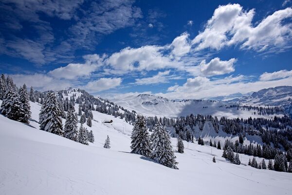
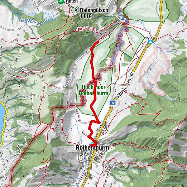
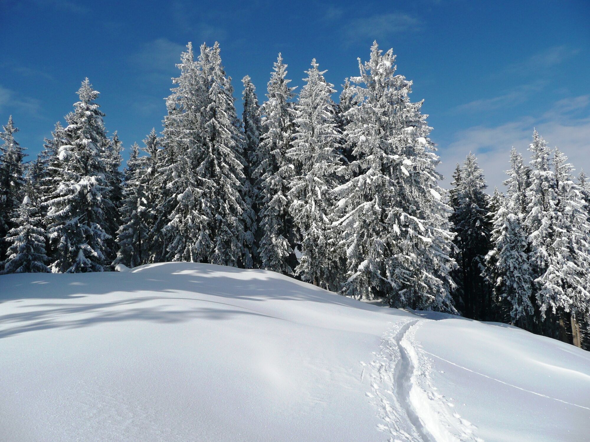
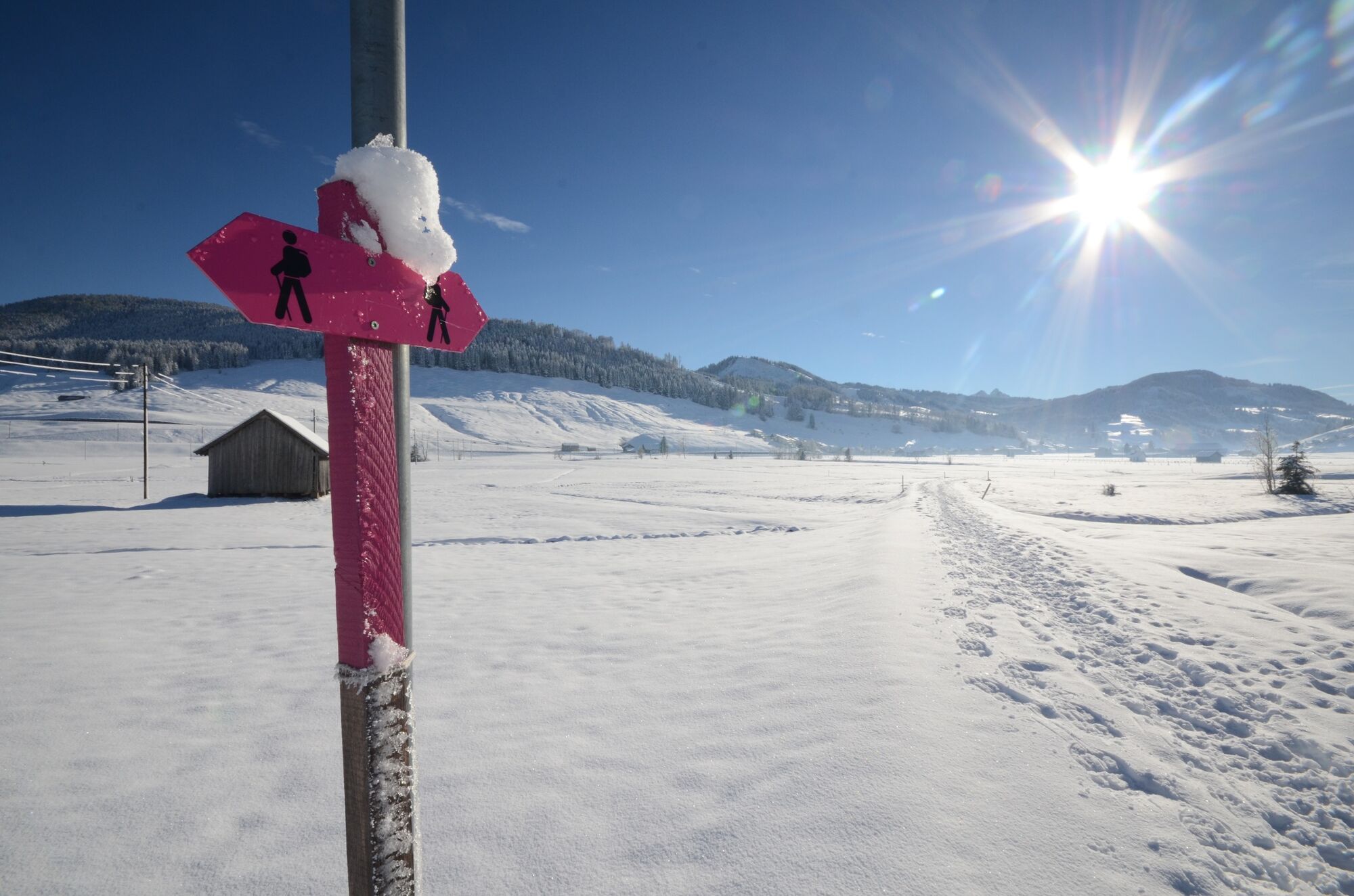
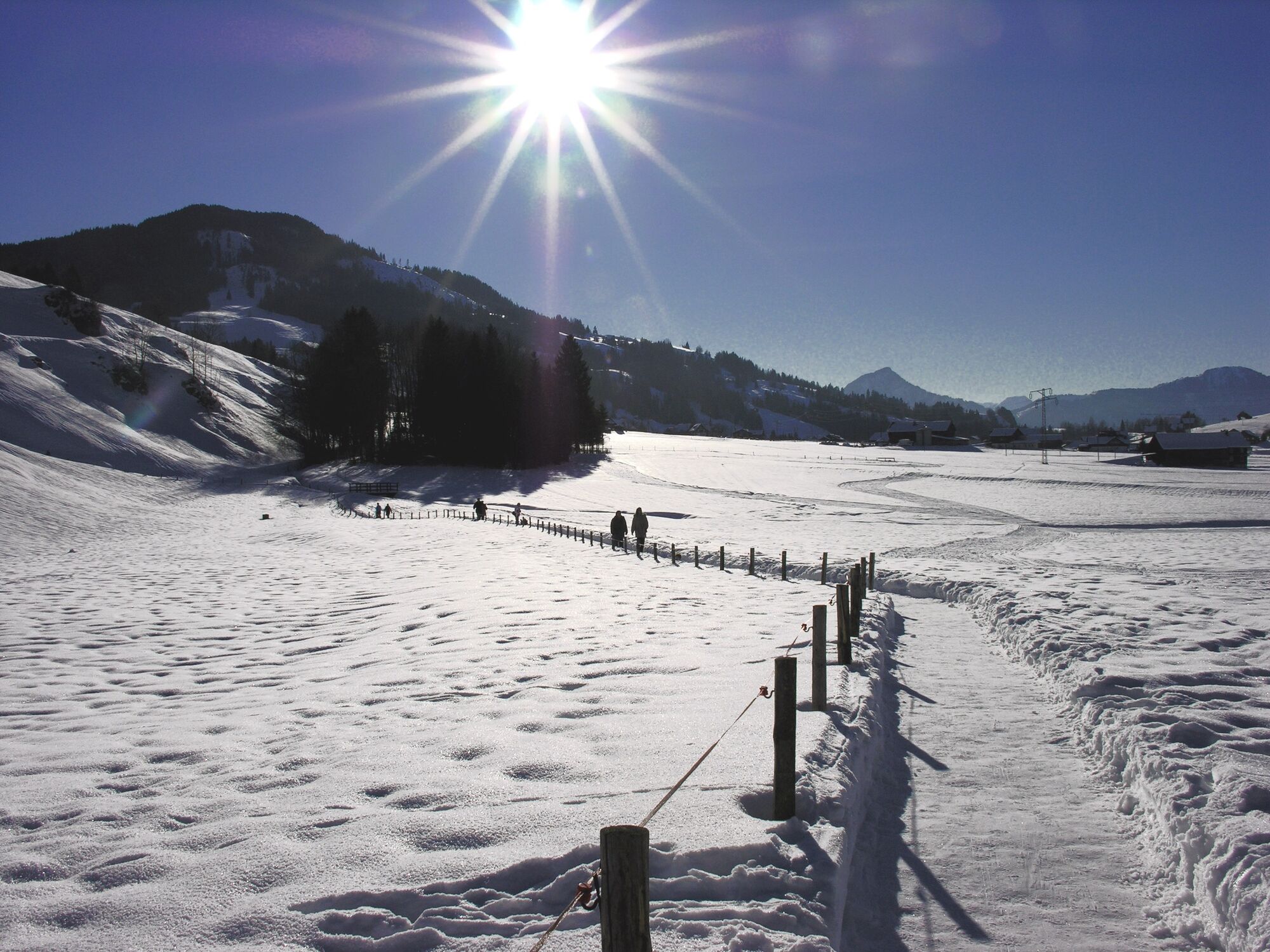
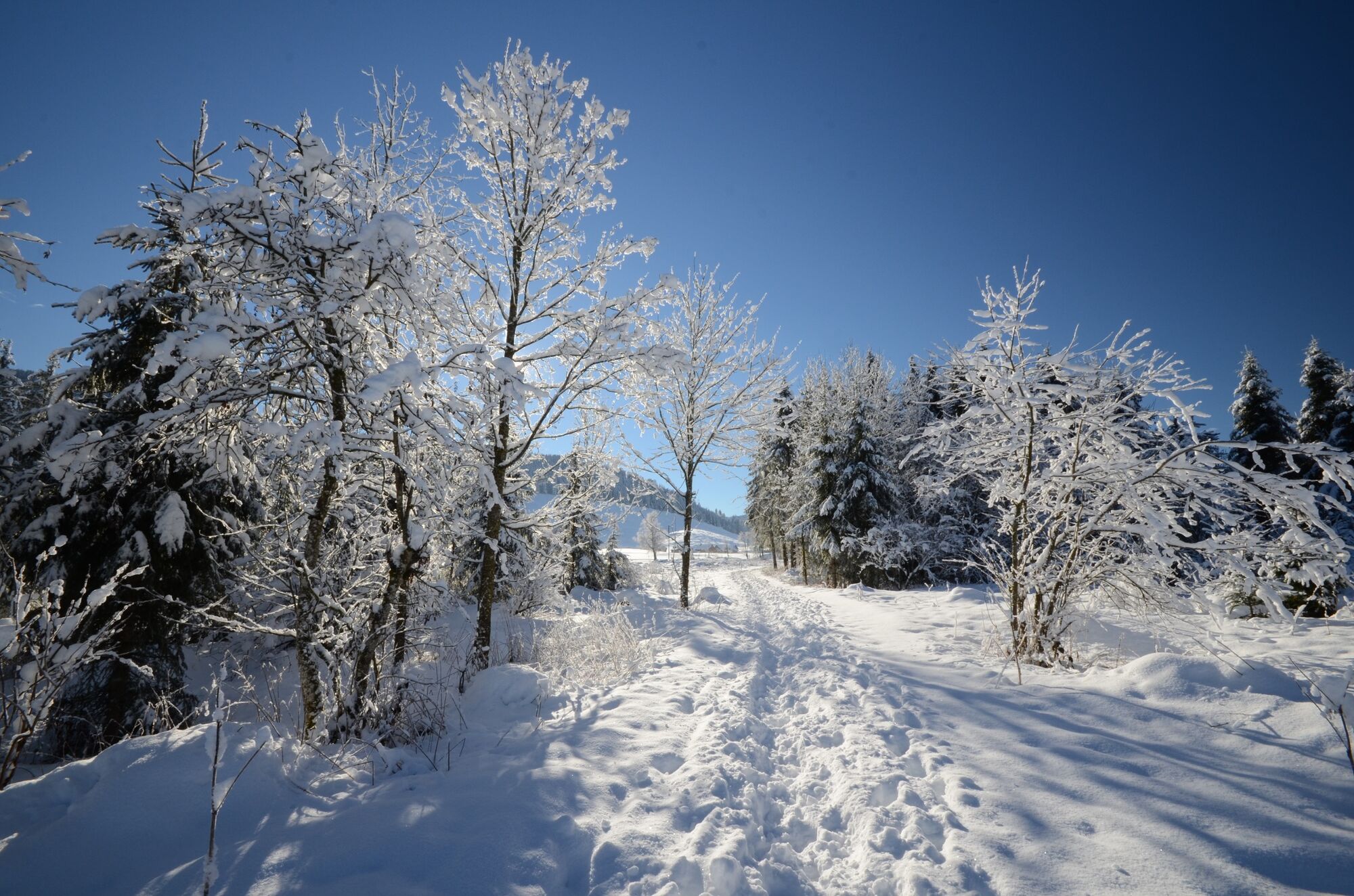
Zwischen Rothenthurm und Biberbrugg erstreckt sich das grösste Hochmoore der Schweiz und begestert mit seiner unberührten Natur. Auch im Winter ist ein Spaziergang durch die weite Ebene des Hochmoors ein mystisches Erlebnis.
- Difficulty
-
medium
- Rating
-
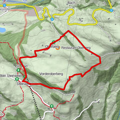
- Route
-
Rothenthurm0.0 km1. Altmatt1.1 kmSteinstoss-Stubli3.5 km
- Best season
-
AugSepOctNovDecJanFebMarAprMayJunJul
- Highest point
- 926 m
- Endpoint
-
Bahnhof Rothenthurm
- Height profile
-
 © outdooractive.com

- Author
-
The tour Rothenthurm – das grösste Hochmoor der Schweiz is used by outdooractive.com provided.
GPS Downloads


General info
Refreshment stop
Flora
Fauna
Other tours in the regions
-
Schwyz
113
-
Erlebnisregion Mythen
48
-
Rothenthurm
25