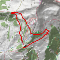
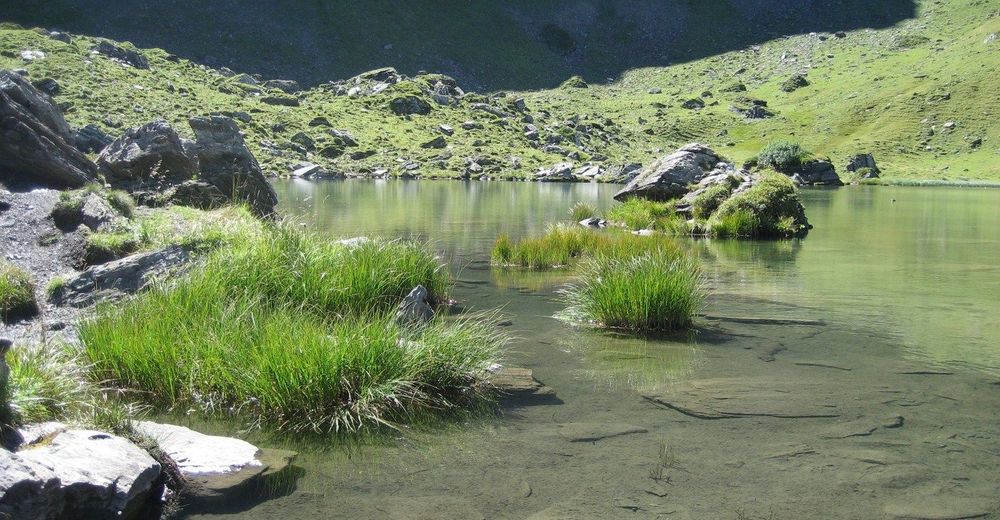
Panorama-Rundwanderung Melchsee-Frutt - Planplatten - Melchsee-Frutt

Hiking
Tour data
17.86km
1,891
- 2,429m
1,920hm
06:00h

- Brief description
-
Für diese Wanderung ist eine gute Kondition, Ausdauer und Bergtüchtigkeit erforderlich!
- Rating
-
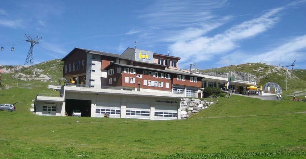
- Starting point
-
Melchsee-Frutt
- Route
-
Fruttkapelle0.9 kmBalmeregghorn (2,255 m)3.6 kmHääggenstubeli9.0 kmHochstollen (2,481 m)13.0 kmAbgschütz (2,262 m)14.1 kmFuchs- und Hasenbeiz17.3 kmStäubiloch17.7 km
- Highest point
- 2,429 m
- Rest/Retreat
-
Diverse Hotels/Restaurants auf Melchsee-Frutt
Alpentower auf Planplatten - Ticket material
-
Tourismusbüro Kerns und Melchsee-Frutt


GPS Downloads


Trail conditions
Asphalt
Gravel
Meadow
Forest
Rock
Exposed
Other tours in the regions
-
Obwalden
2018
-
Melchsee - Frutt
861
-
Gadmen
173