
- Brief description
-
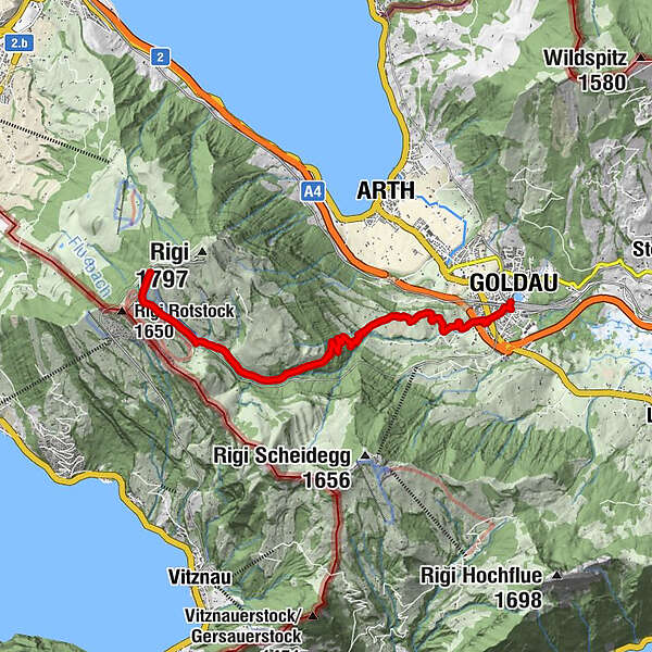
Rigi Staffel - Rigi Kloesterli - Malchuskapelle - Rigi Daechli - Goldau
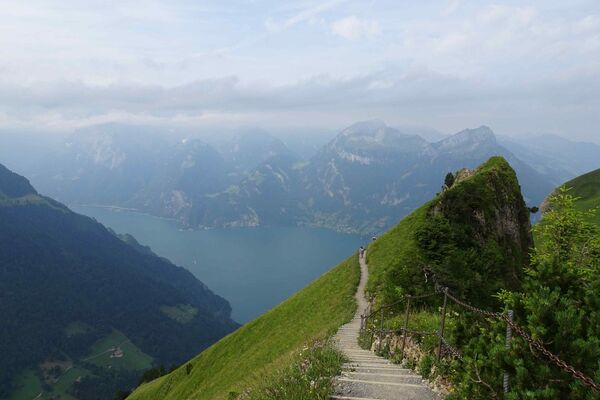
From the Schwyzer Hoehenweg you will hike along the majestic north side of the Rigi. The Goldau valley floor is your hiking destination.
- Difficulty
-
medium
- Rating
-
- Starting point
-
Rigi Staffel
- Route
-
Rigi Staffel (1,604 m)0.0 kmZum Goldenen Hirschen1.7 kmDächli4.9 kmRigi-Dächli4.9 kmKehlmattli8.4 kmSacred Heart Church8.4 kmGoldau9.0 kmArth-Goldau (510 m)9.1 km
- Best season
-
JanFebMarAprMayJunJulAugSepOctNovDec
- Description
-
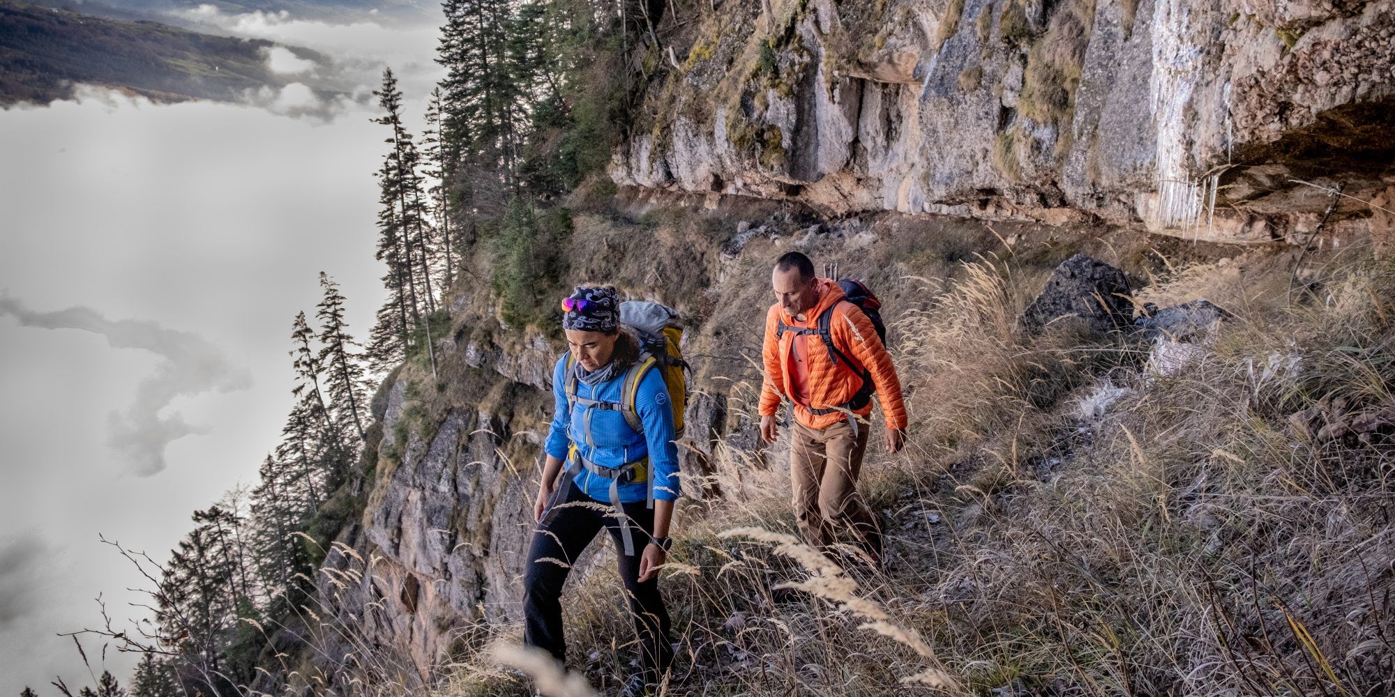
You will start downwards from Rigi Staffel, along the lush lean meadows on the southern slope and can marvel at the famous variety of flowers of the Rigi. For example the troll flower, the male orchid, gentian, kidney vetch, marsh root and much more.
So that the alpine dairymen on the Rigi could attend the weekly church service, in 1688 the Church Bailiff from Arth and his wife donated the chapel "Maria zum Schnee". Today the chapel is considered as one of the most charming mountain chapels. After Rigi Kloesterli you will take the "old Rigi path" to Rigi Daechli. Via the Harmettlenberg you will reach the railway station Arth-Goldau, one of the most important railway junctions in Switzerland. The high platform of the Rigi mountain railways is a lavishly renovated equestrian railway station and with its more than 100 years a building steeped in history.
For your information
You can find the current operating status of the railways and hiking trails here.
In order to let our next generation also be inspired from the Queen of the Mountains, may we ask you to dispose of your own waste at Rigi Stations. Thank you.
- Directions
-
Rigi Staffel (1607 m) - Rigi Kloesterli (1302 m) - Malchuskapelle (1165 m) - Rigi Daechli (947 m) - Blaetzen - Harmettlenberg (662 m) - Goldau (509 m)
- Highest point
- 1,594 m
- Endpoint
-
Goldau
- Height profile
-
 © outdooractive.com
 - Equipment
-
High profiled hiking boots or trakking boots, rain coat, drinks, food and walking sticks, when possible.
- Tips
-
Since this hike does not take up too much time, I recommend that you visit the Tierpark Goldau (The Nature Reserve and Wildlife Park Goldau)
- Directions
-
A4 highway - exit Goldau
- Public transportation
- Parking

- Author
-
The tour Schwyzer Hoehenweg 2nd stage Rigi - Goldau is used by outdooractive.com provided.


General info
-
Nidwalden
1832
-
Rigi - Berg und See
908
-
Arth-Goldau
381