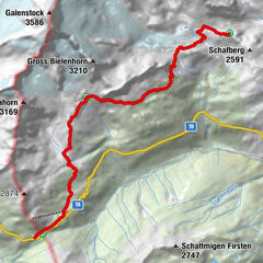
49.01 Oberalp Pass - Vermigelhütte, Four Springs Trail


- Brief description
-
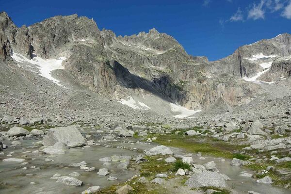
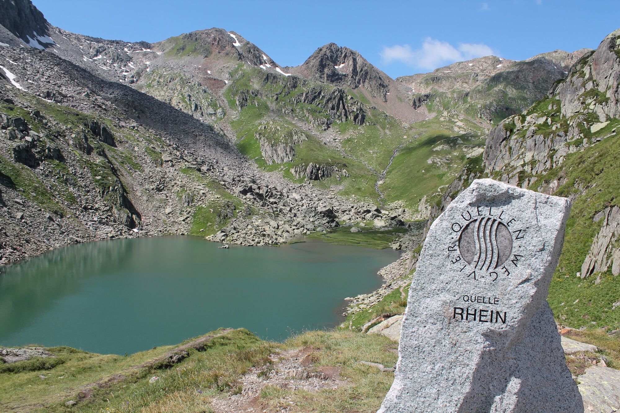
On the first stage of the Vierquellenweg to Lake Toma, the source of the Rhine
- Difficulty
-
medium
- Rating
-
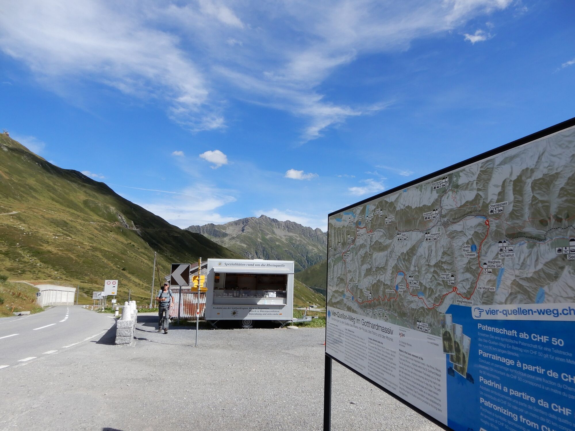
- Starting point
-
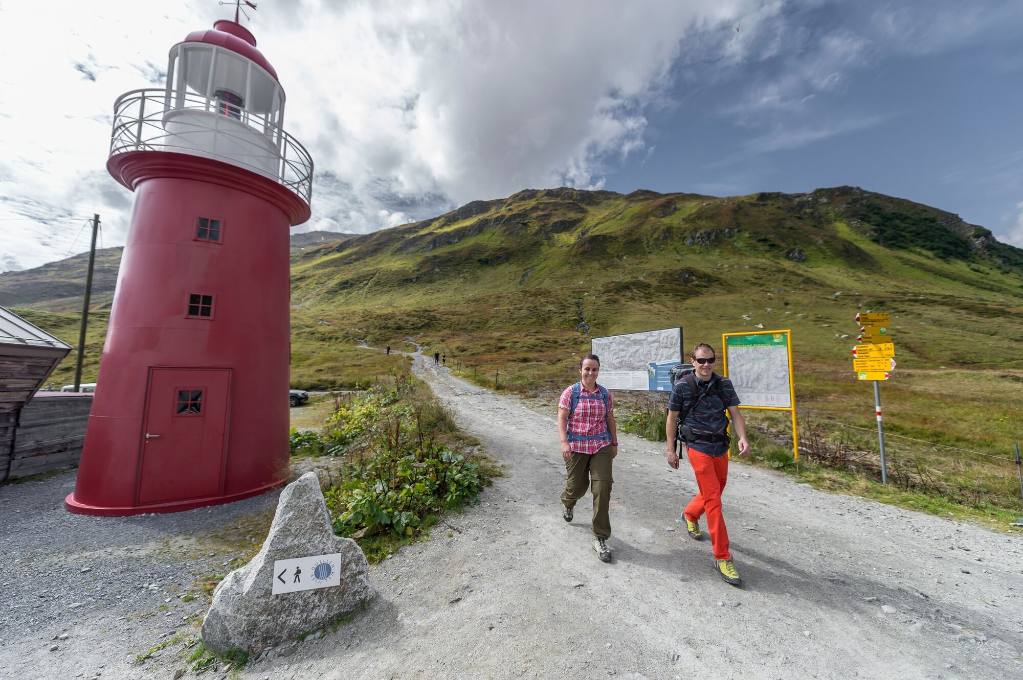
Andermatt (Oberalppass)
- Route
-
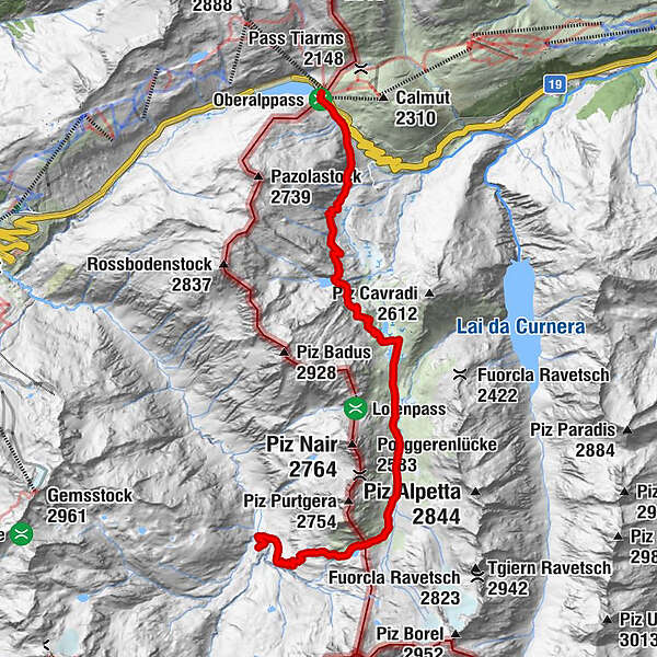
Piz CalmotGasthaus Piz Calmot0.1 kmVermigel Hütte12.9 km
- Best season
-
JanFebMarAprMayJunJulAugSepOctNovDec
- Description
-
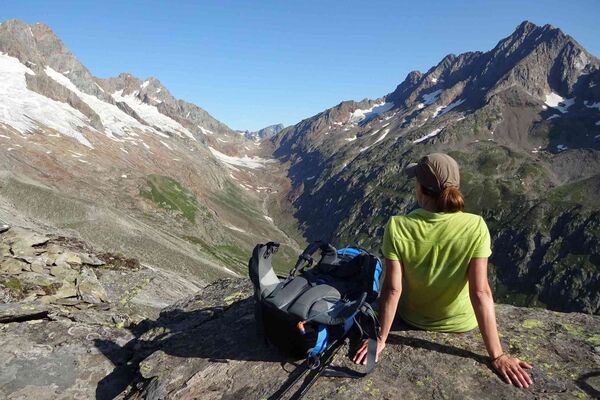
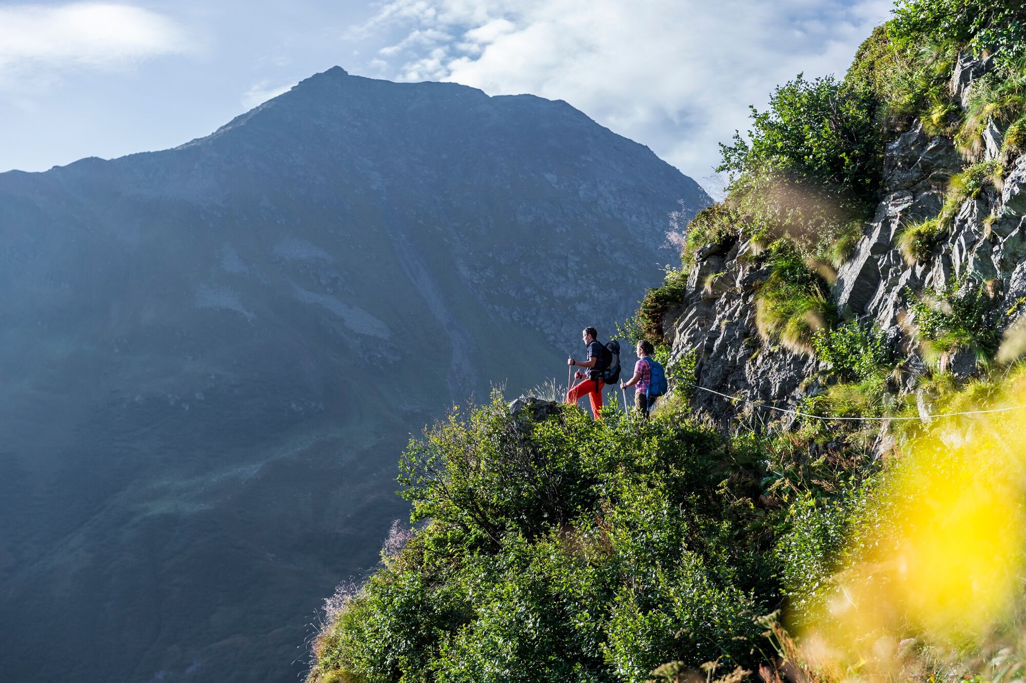
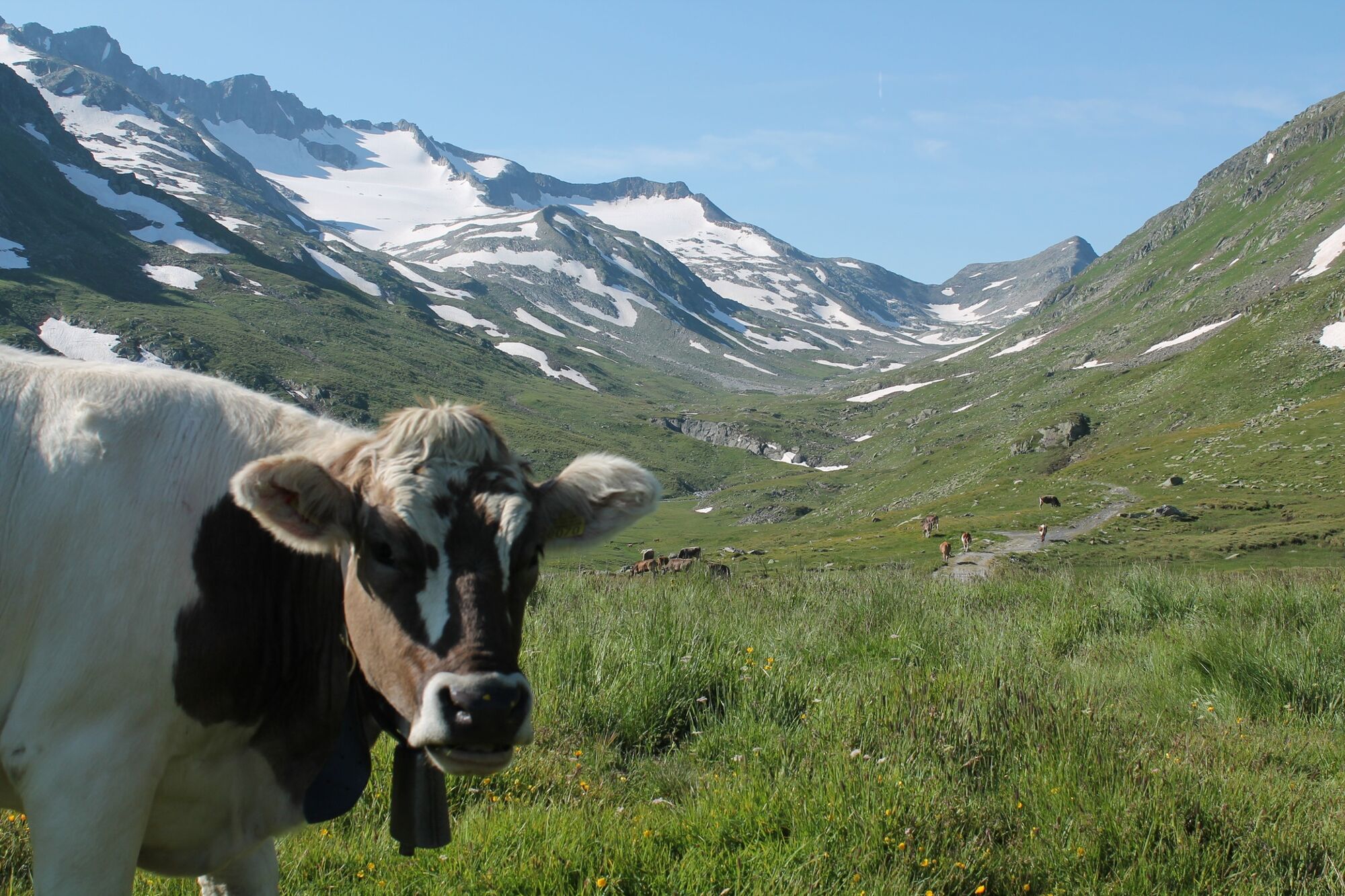
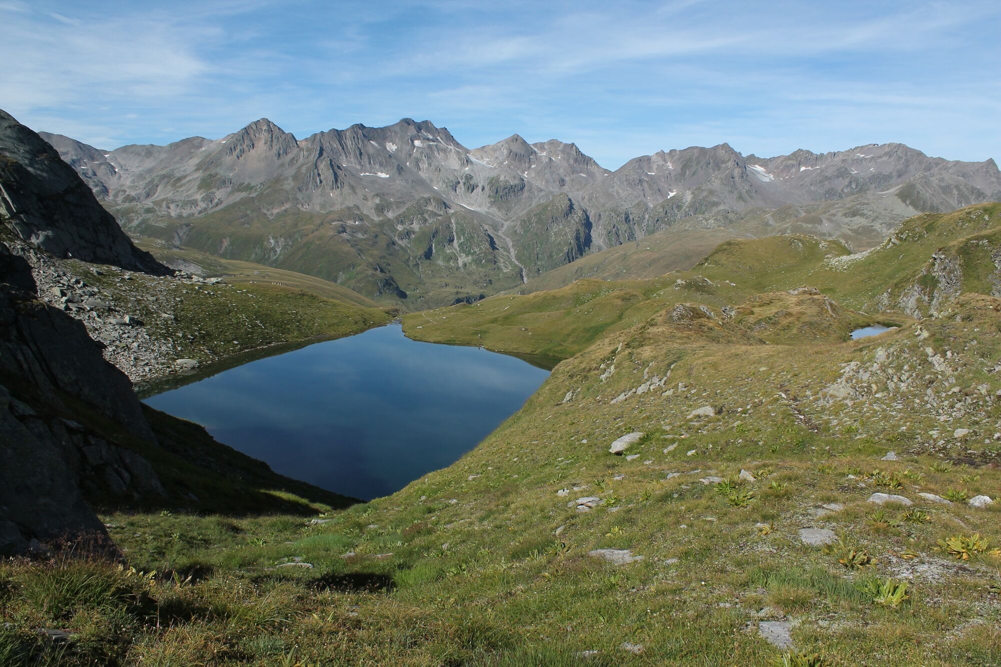
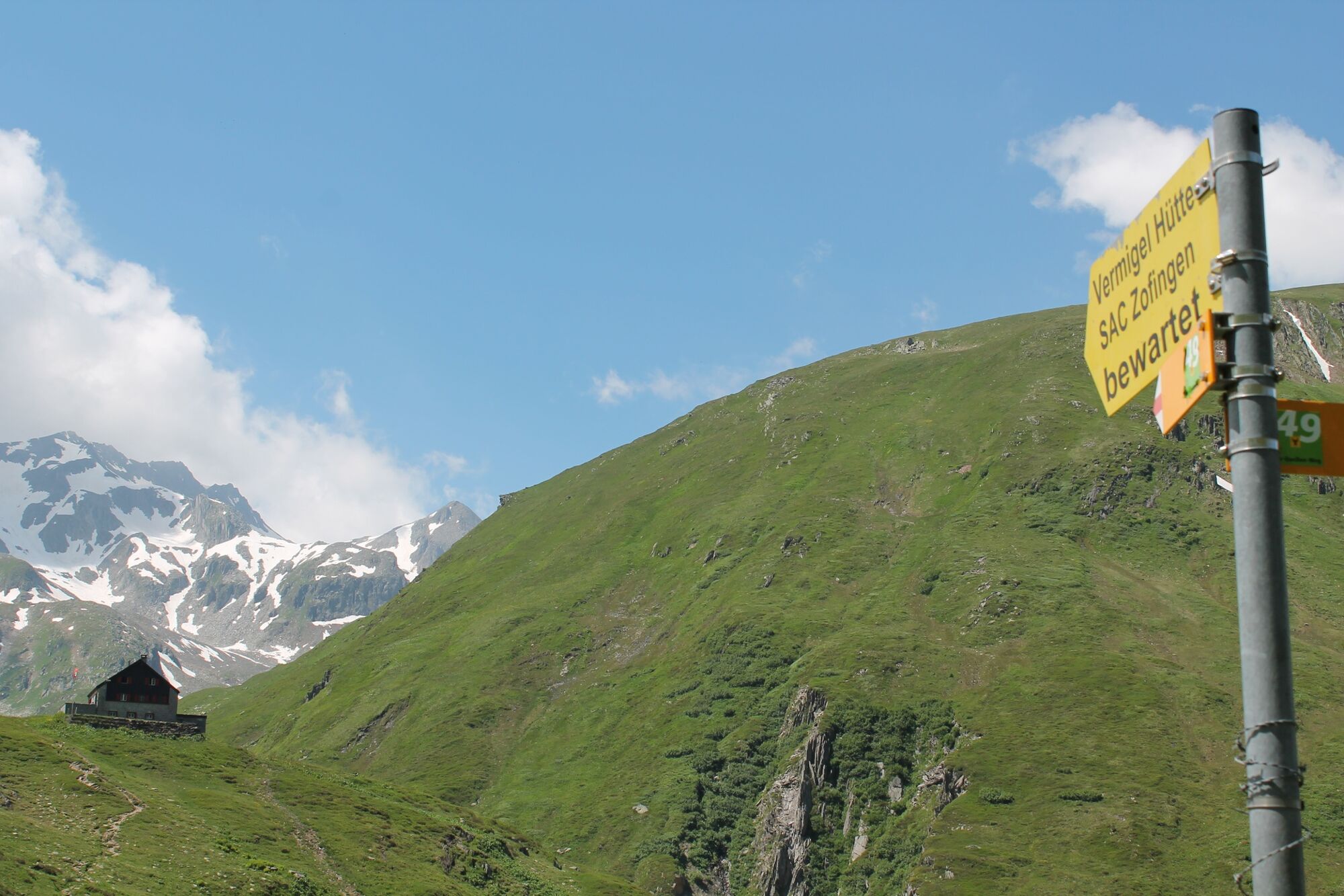
FFrom the Oberalp Pass, a high trail first leads into the Val Maighels. Before reaching Lake Toma, however, the path becomes rockier and climbs steeply in stony hairpin bends to Lake Toma, the source of the Rhine. Nestled in a hollow, the picturesque lake lies at the foot of the Piz Badus and the Rossbodenstock, the mountain scenery reflected in the clear water. At the far end of the lake you will find nice places to rest, either on a rock with a view or on the green mats. On the way to the Vermigelhütte, you can admire more mountain lakes, and on hot days you can even take a short dip. After the Maighels Pass, the descent begins into the Unteralp Valley and to the Vermigelhütte, the first stage destination.rom the Oberalppass, a steep climb leads to the source of the Rhine at the Tomasee lake. After hiking through the wetlands of Val Maighels you start the climb to the Maighelspass and the idyllic Portgerensee lake. This is followed by the descent to the Vermigel Hut.
- Highest point
- 2,418 m
- Endpoint
-
Vermigelhütte
- Height profile
-
 © outdooractive.com
 - Additional information
-
Please note: Snow fields are possible on the upper sections right through to the summer months.
-

-
AuthorThe tour 49.01 Oberalp Pass - Vermigelhütte, Four Springs Trail is used by outdooractive.com provided.


General info
-
Uri
1542
-
Ritom - Piora
460
-
Airolo
121