
- Brief description
-
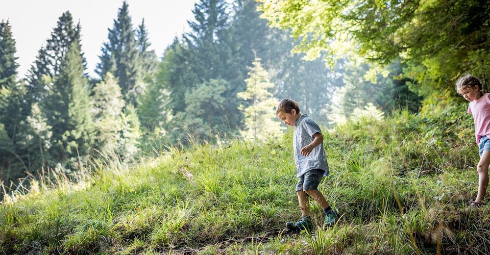
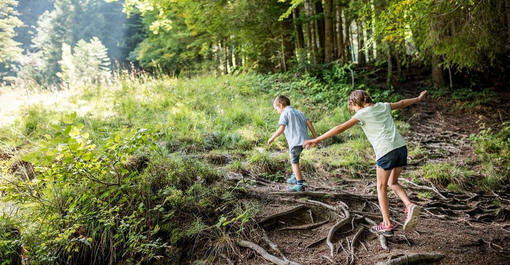
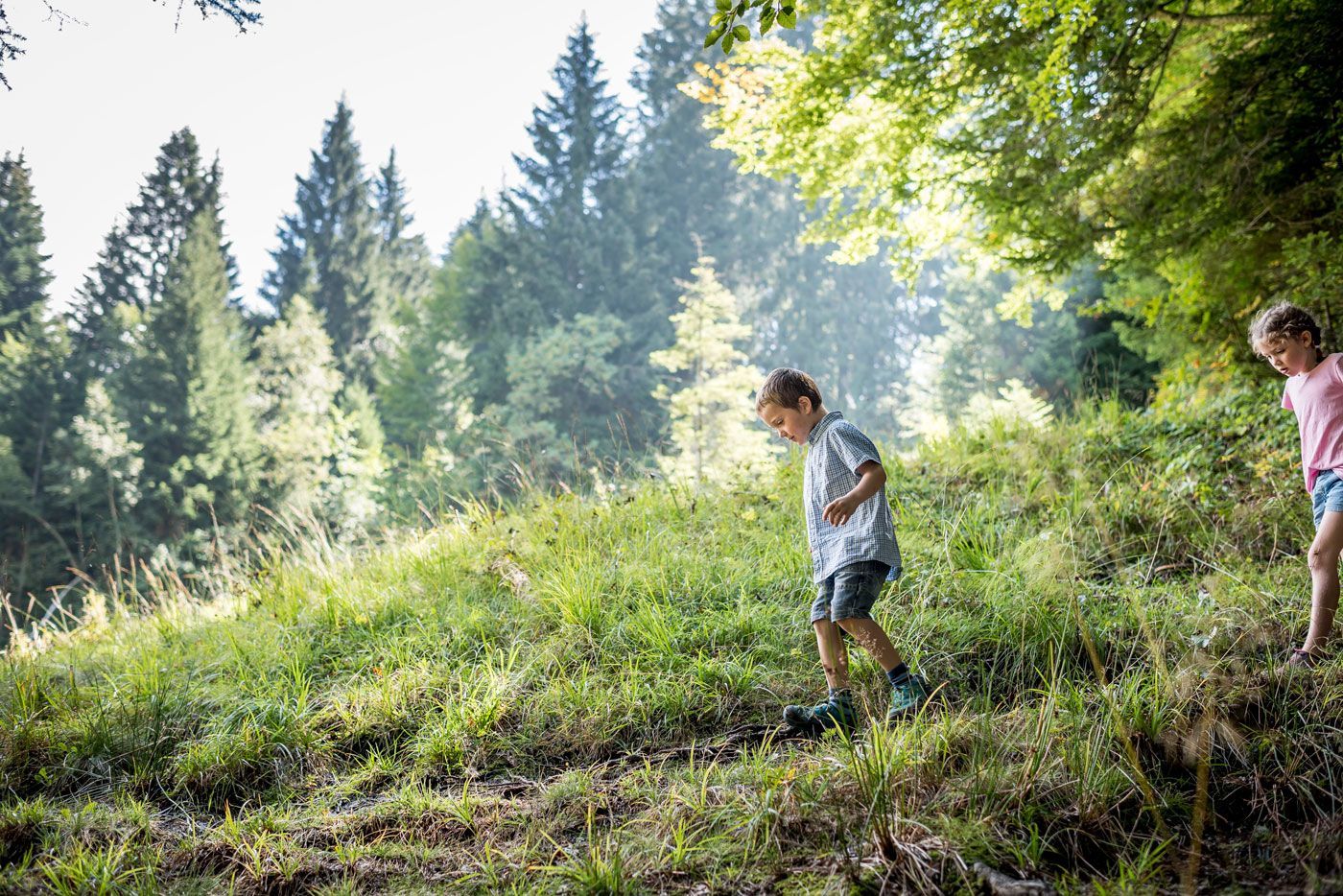
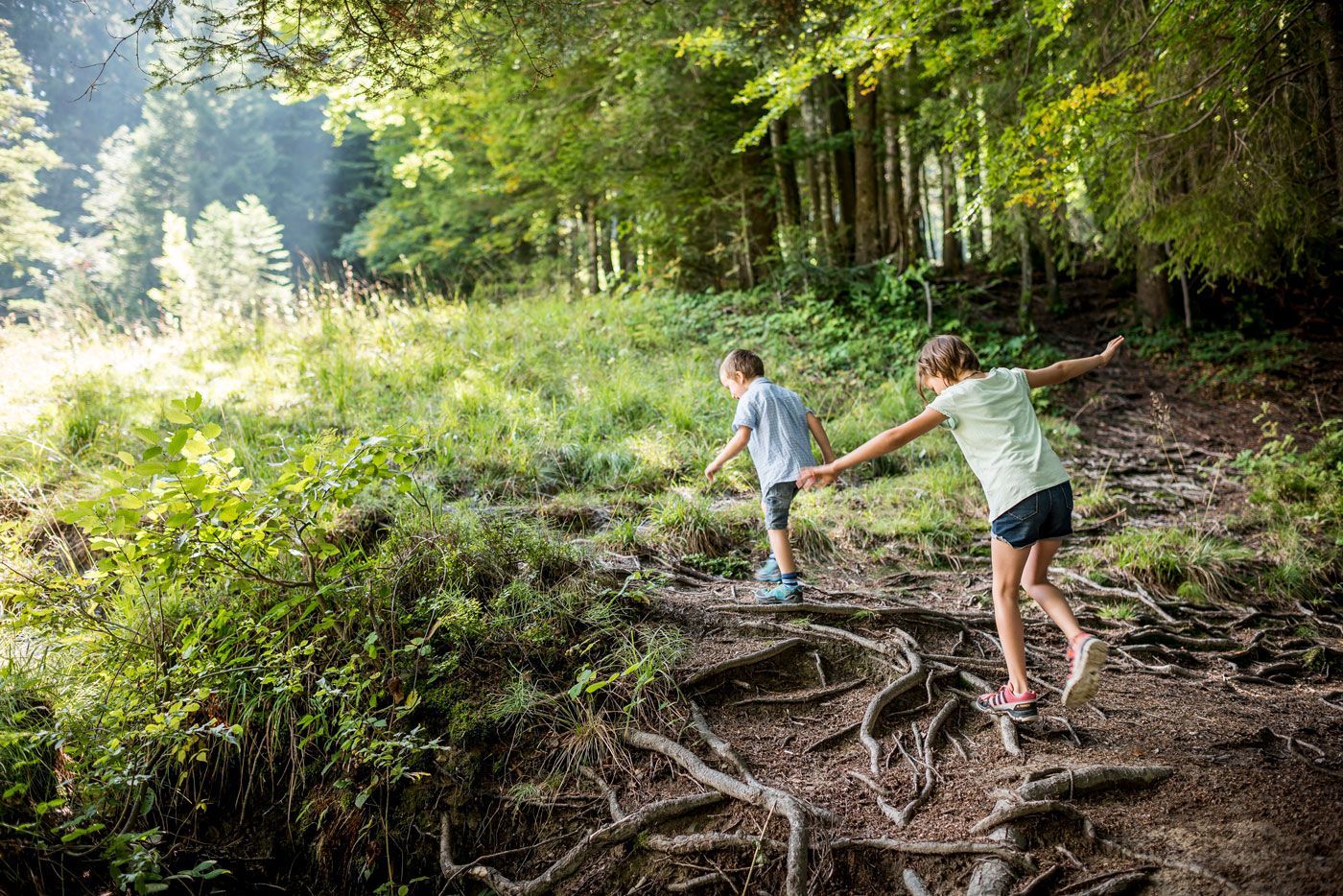
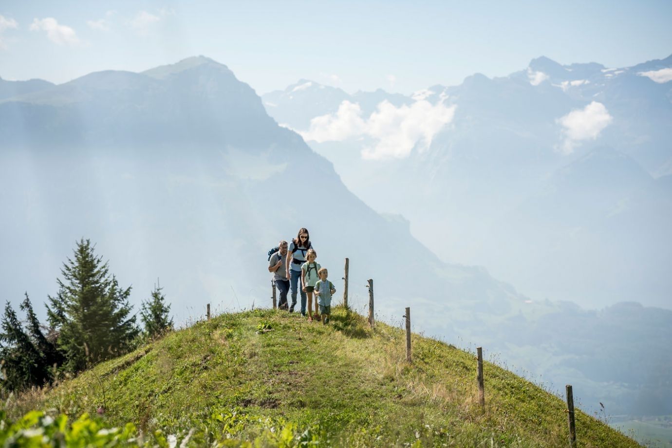
The summit circular trail over the Hochstuckli offers a pre-alpine landscape and varied paths.
- Difficulty
-
medium
- Rating
-
- Starting point
-
Mostelberg mountain station
- Route
-
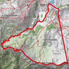
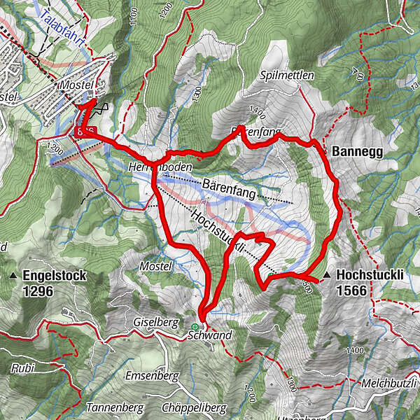
Sattel Mostelberg (Bergstation) (1,190 m)Bärenfang1.6 kmBannegg2.1 kmHochstuckli (1,566 m)3.2 kmHerrenboden (Hochstuckli) (1,190 m)5.8 kmHerrenboden5.9 kmSattel Mostelberg (Bergstation) (1,190 m)6.8 km
- Best season
-
JanFebMarAprMayJunJulAugSepOctNovDec
- Description
-
The trail through the varied pre-alpine landscape leads hikers from the Mostelberg mountain station to the local mountain of Sattel-Hochstuckli. The circular hike begins after a ride on the world's first revolving cable car from Sattel to Mostelberg. From the mountain station, the trail leads left past the summer toboggan run and the suspension bridge towards the Herrenboden mountain restaurant. Shortly before the Herrenboden restaurant and the crossing of the stream, the path leads off to the left before turning right through the forest towards the SAC Clubhouse Bärenfang and Bannegg. The trail continues uphill to the Hochstuckli with spectacular views of the Mythen and the foothills of the Central Swiss Alps. The way back leads via Stucklialp and Mostelegg past the Herrenboden mountain inn and back to the Mostelberg mountain station. After the strenuous hike, the mountain inns are waiting to spoil the hungry and thirsty athletes with culinary delights.
- Highest point
- 1,541 m
- Endpoint
-
Mostelberg mountain station
- Height profile
-
 © outdooractive.com
 - Equipment
-
Hiking boots with good tread, trekking shoes, rain jacket, drink, food and drink
- Directions
-
From Zurich via the Zurich-Chur motorway, exit Schindellegi, direction Schwyz (approx. 40 min)
From Zug via Aegerital (approx. 20 min)
From Lucerne via motorway Zug-Schwyz, exit Schwyz, direction Pfäffikon-Sattel (approx. 40 min.)
- Public transportation
-
Take the SOB to Sattel or Auto AG Schwyz from Schwyz on line 7 to the Sattel valley station of the gondola lift. Alternatively Zugerland Verkehrsbetriebe (line 23) from Arth-Goldau to Sattel. From Ägeri by bus 9 from Oberägeri
- Parking
-
Paid car park at the valley station.
- Author
-
The tour Sattel-Hochstuckli summit circular trail is used by outdooractive.com provided.


General info
-
Schwyz
1747
-
Erlebnisregion Mythen
872
-
Sattel Hochstuckli
368