
- Brief description
-
Stanserhorn – summit tour and place of power
- Difficulty
-
easy
- Rating
-
- Starting point
-
Stanserhorn
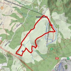
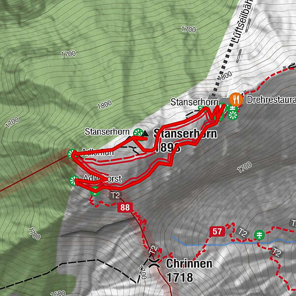
- Route
-
Drehrestaurant StanserhornAdlerhorst0.4 kmAdlerfluh (1,865 m)0.6 kmStanserhorn0.7 km
- Best season
-
JanFebMarAprMayJunJulAugSepOctNovDec
- Description
-
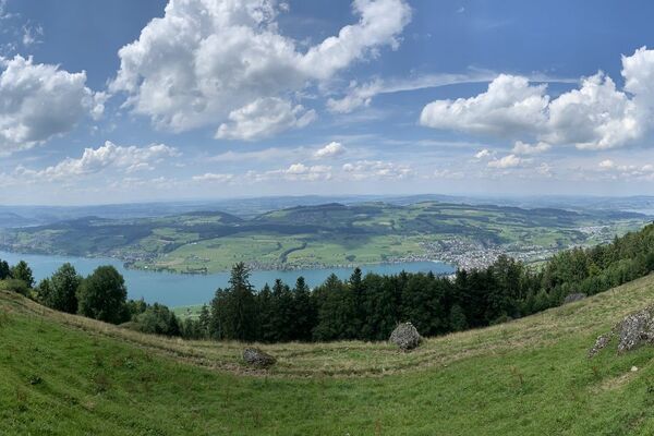
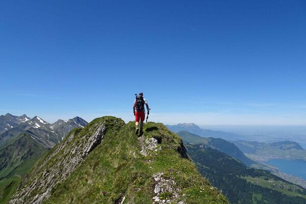
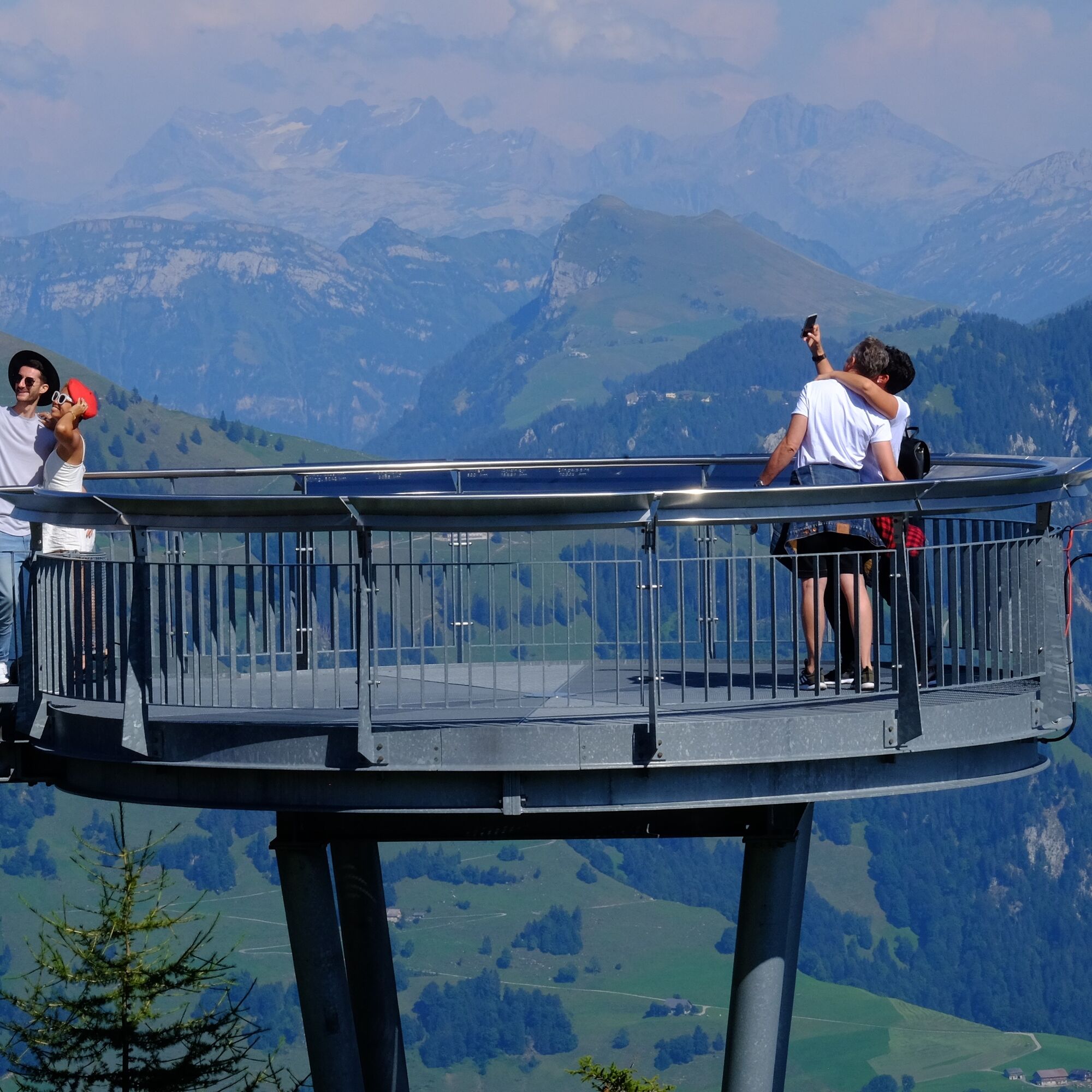
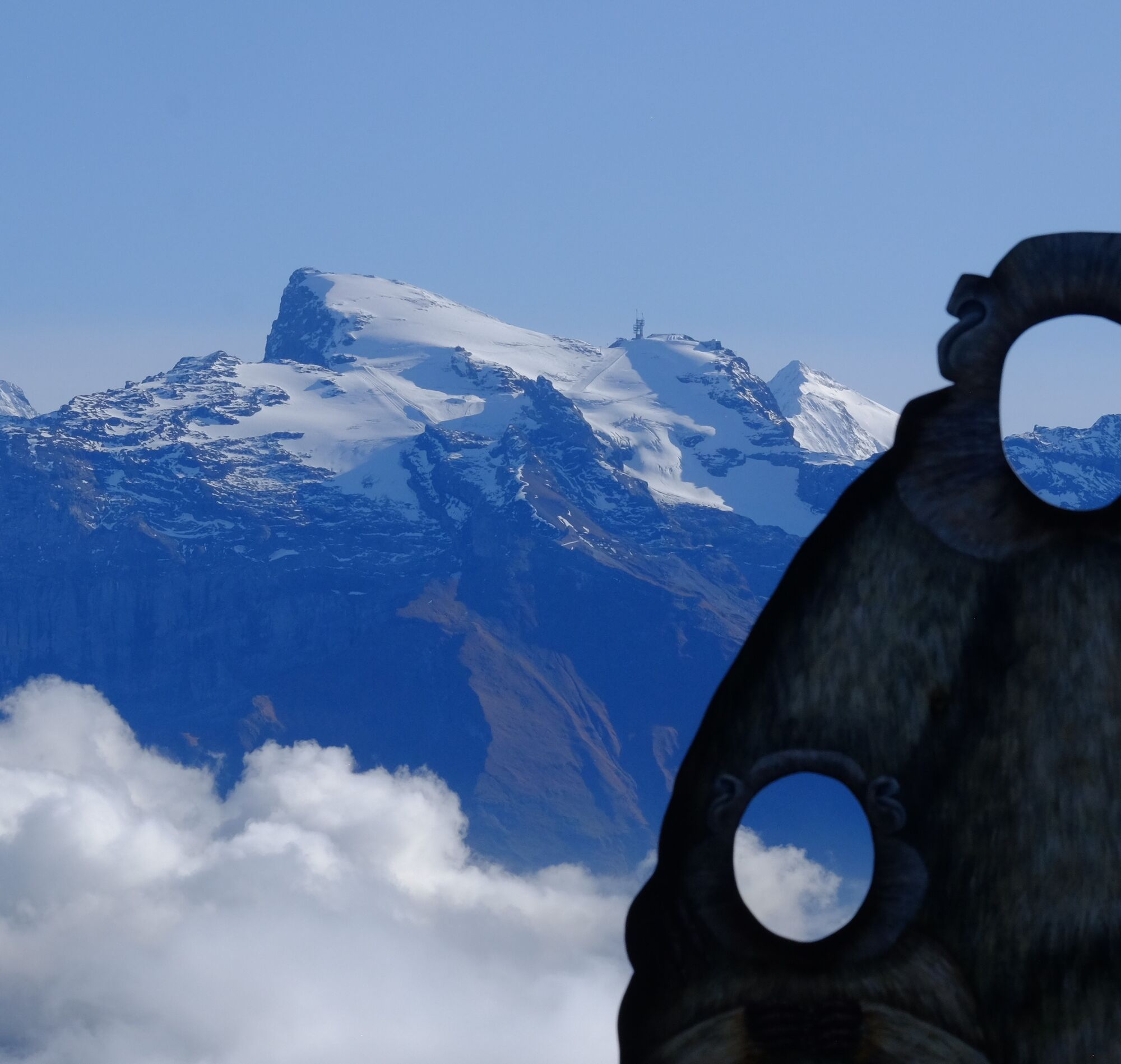
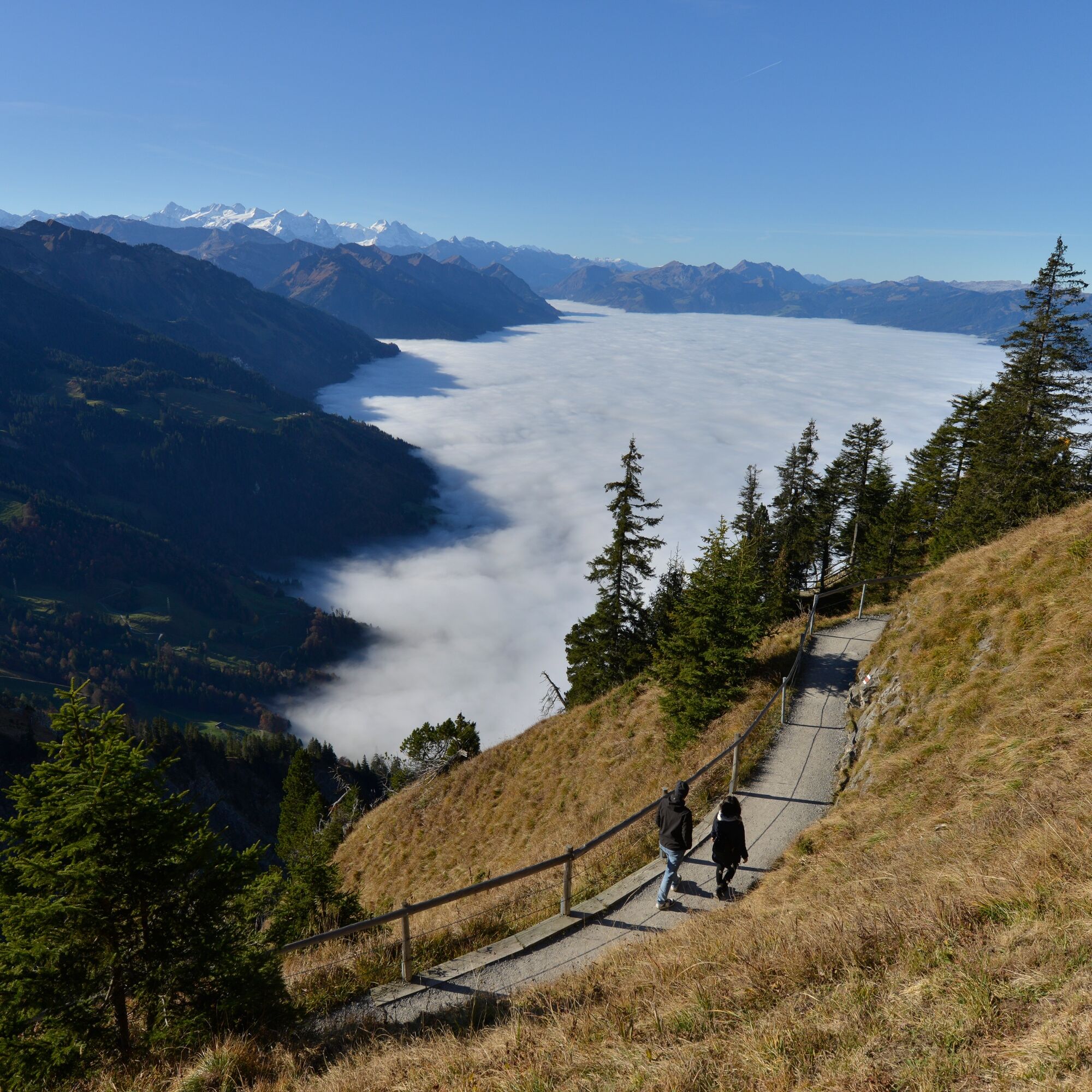
The walk around the summit takes just thirty minutes, but that's not counting pausing to admire the views towards Brünig at the "Adlerhorst" (eagle's eyrie), identifying the Mönch left of the Eiger, observing the marmots, and sensing the 22,000 Bovis units of "subtle energy". A visit to the Rondorama revolving restaurant or terrace forms part of any outing to the Stanserhorn. The most popular dish here by far is Älplermagronen, made with ingredients sourced from the region and the Alps. The restaurant on the Stanserhorn serves 18,000 portions every season!
- Directions
-
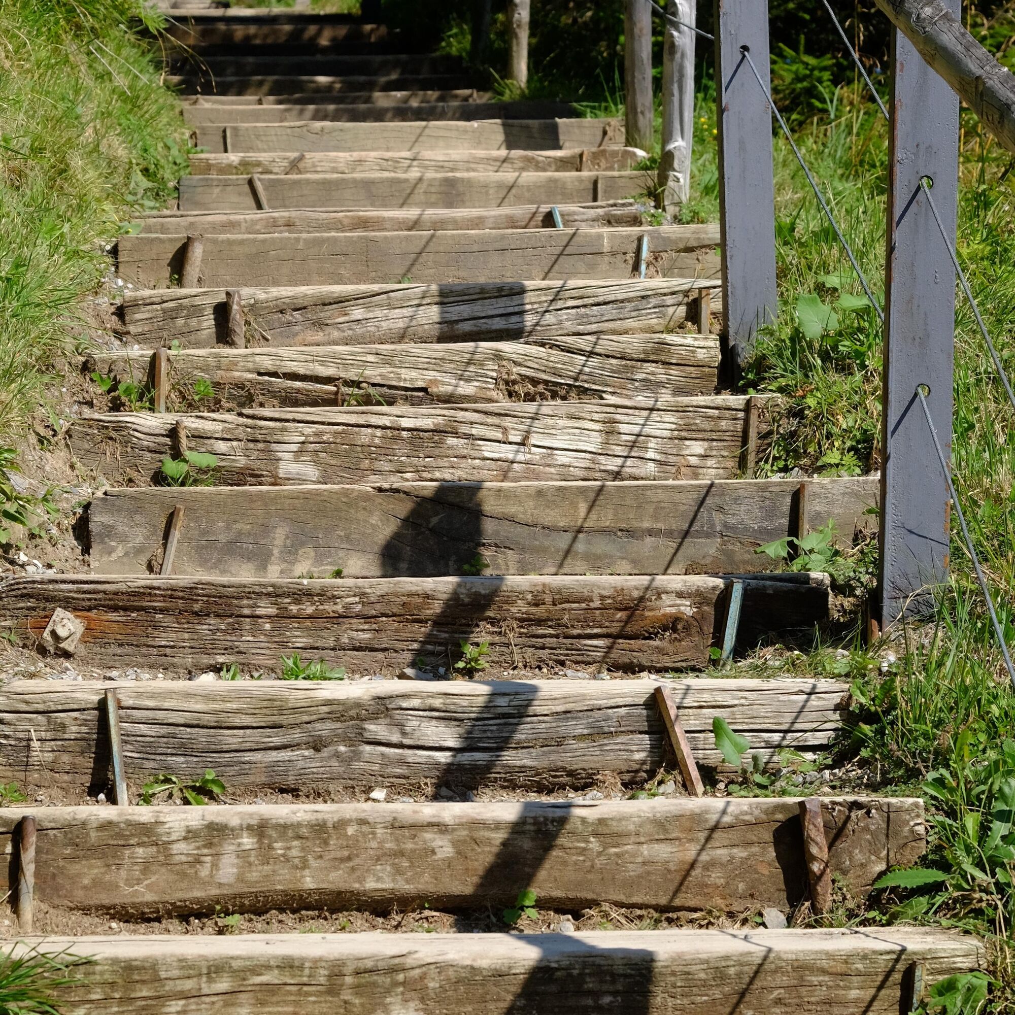
After the trip up the mountain on the open-air upper deck of the CabriO cable car, the walk around the summit begins by the terrace. It starts off flat as far as the first vantage point looking towards Obwalden, Brünig and the Bernese Alps. The view stretches as far as the Mönch, Eiger and Jungfrau – unusually, in that order (it's usually Eiger, Mönch, Jungfrau). You then negotiate steps to the second vantage point: this time you're looking towards Lucerne. There's another ascent to the actual summit at alt. 1897 m. The descent takes you past marmot burrows and the paraglider/hang glider launch pad.
- Highest point
- 1,889 m
- Endpoint
-
Stanserhorn
- Height profile
-
 © outdooractive.com
 - Tips
-
Try the delicious Älplermagronen in the Rondorama restaurant. The sun can be enjoyed on the terrace by the upper cableway terminus or on the large meadow at the summit.
- Additional information
- Public transportation
-
Zentralbahn railway between Lucerne and Stans

-

-
AuthorThe tour Circling the summit – Stanserhorn is used by outdooractive.com provided.


General info
-
Nidwalden
1773
-
Engelberg Titlis
838
-
Ennetmoos - Rotzberg
284