© Schwyz Tourismus - Manuela Gili

© Schwyz Tourismus - Manuela Gili

© Schwyz Tourismus - Manuela Gili

© Schwyz Tourismus - Manuela Gili

© Schwyz Tourismus - Manuela Gili

© Schwyz Tourismus - Manuela Gili

© Schwyz Tourismus - Manuela Gili

© Schwyz Tourismus - Manuela Gili

- Brief description
-
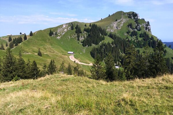
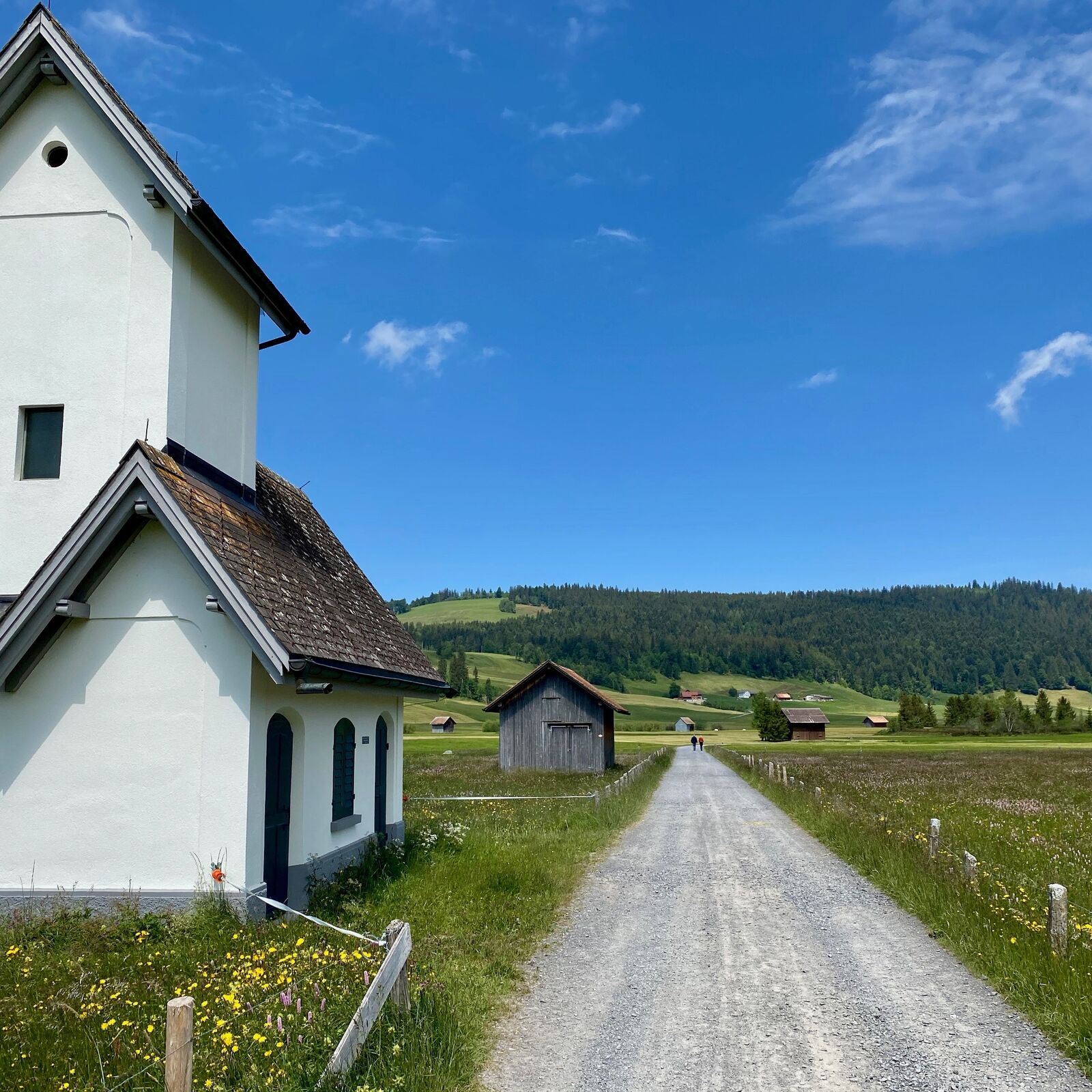
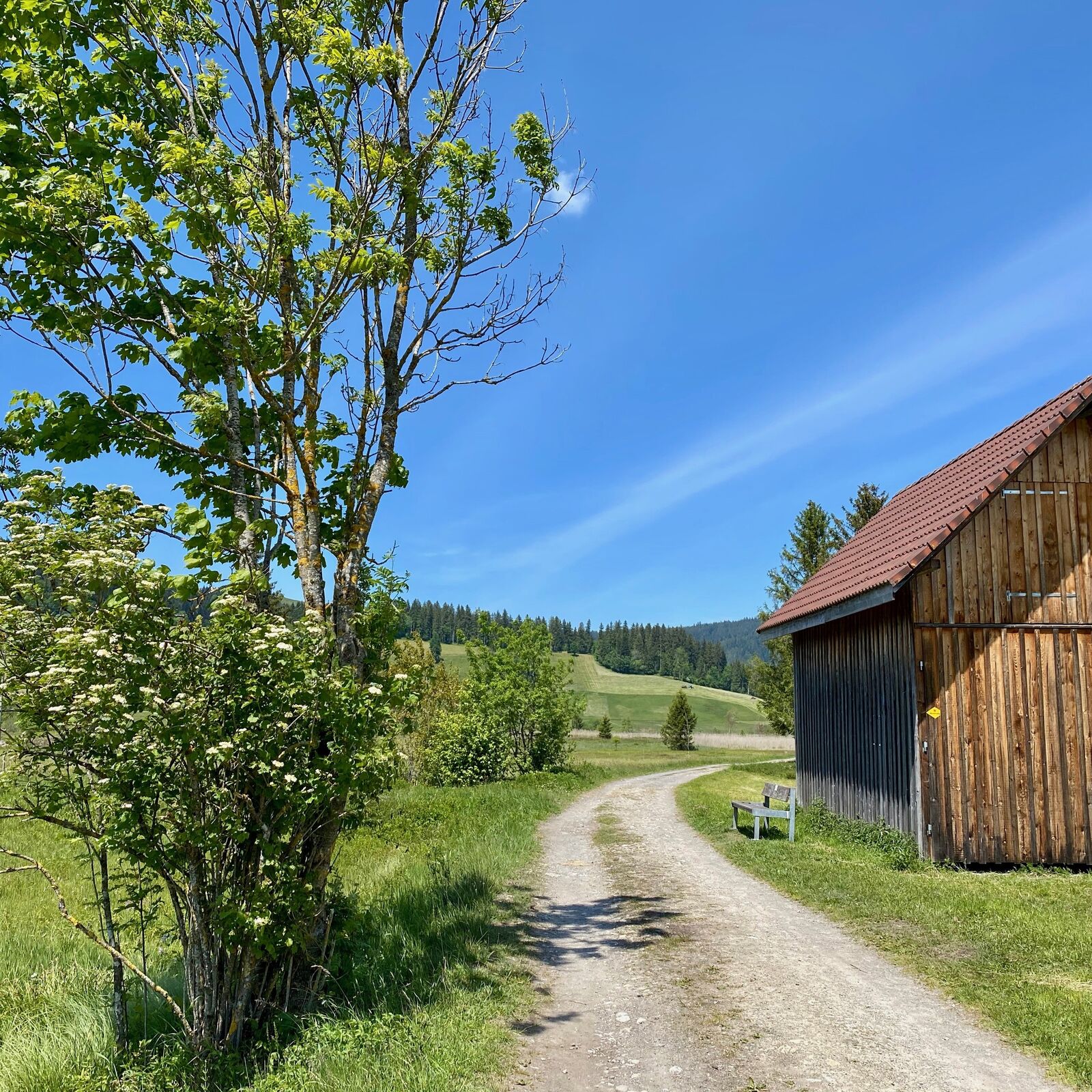
Rothenthurm is a diverse area in every season. However, the colours of Switzerland's largest continuous upland moorland shine most beautifully in autumn.
- Difficulty
-
easy
- Rating
-
- Starting point
-
Railwaystation Rothenthurm
- Route
-
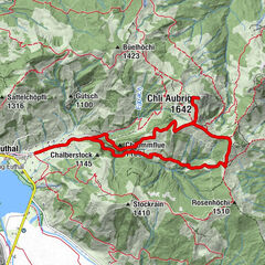
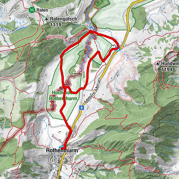
Rothenthurm (923 m)1. Altmatt0.6 kmAltmatt (920 m)4.8 km3. Altmatt4.8 kmSteinstoss-Stubli6.6 km1. Altmatt9.3 kmRothenthurm (923 m)10.1 km
- Best season
-
JanFebMarAprMayJunJulAugSepOctNovDec
- Description
-
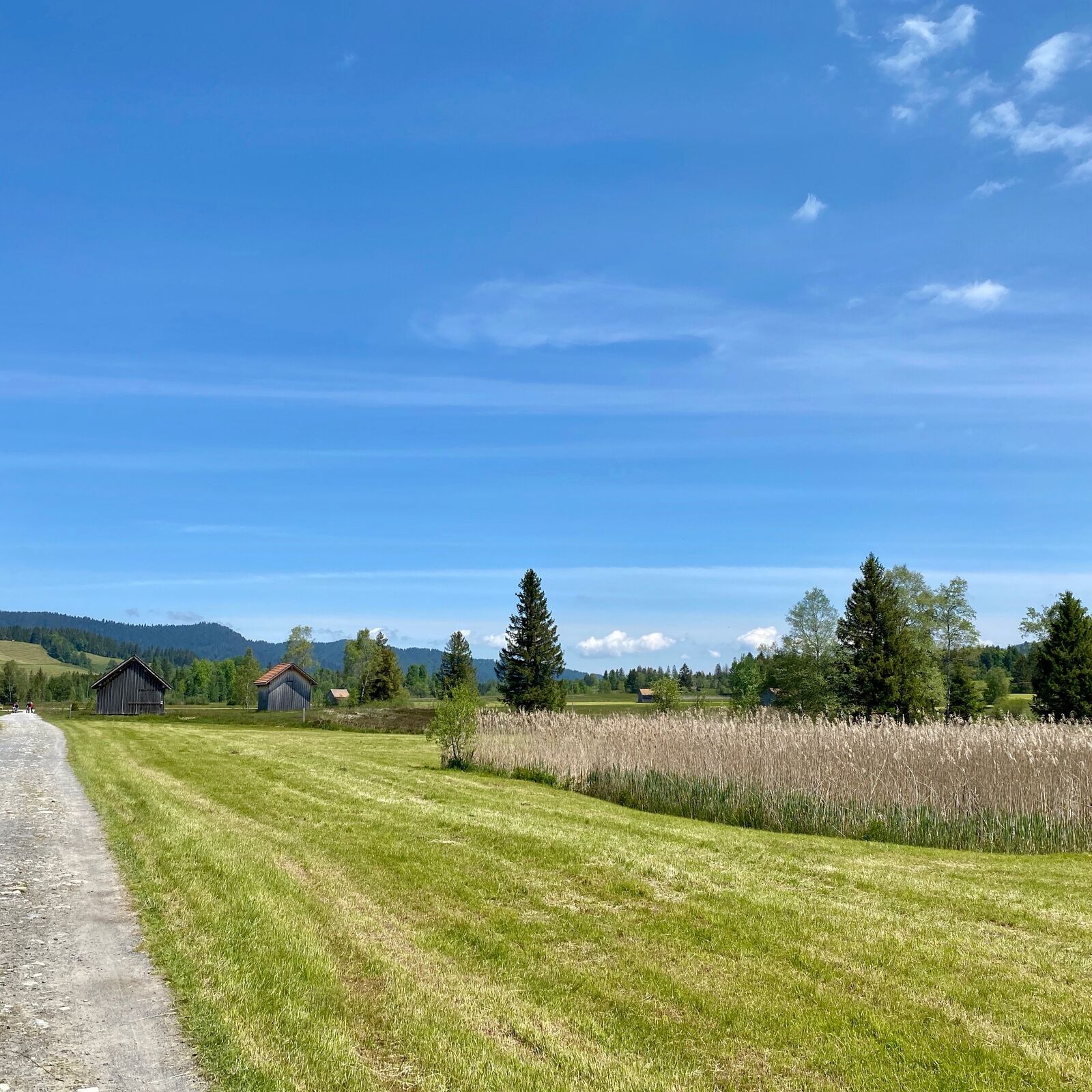
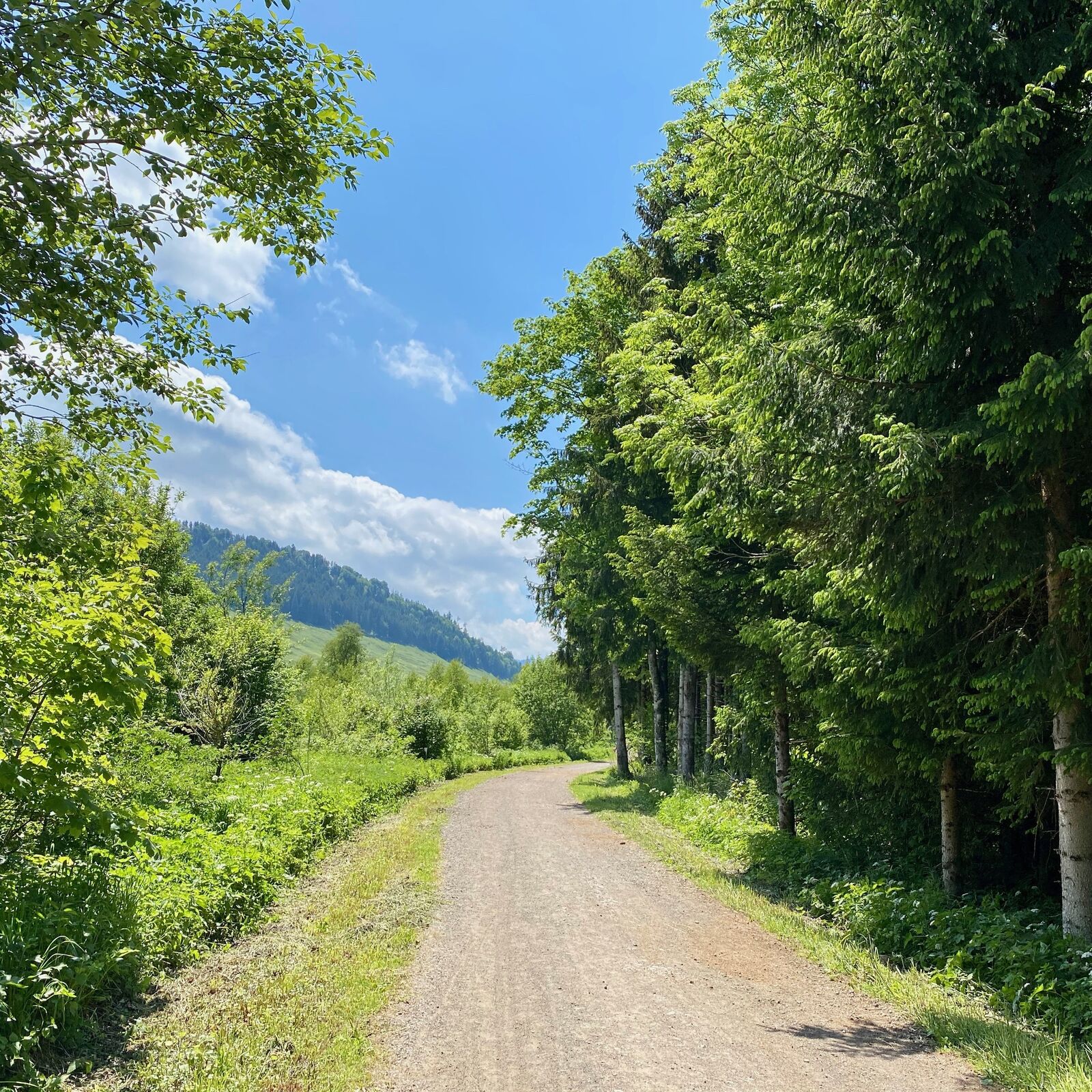
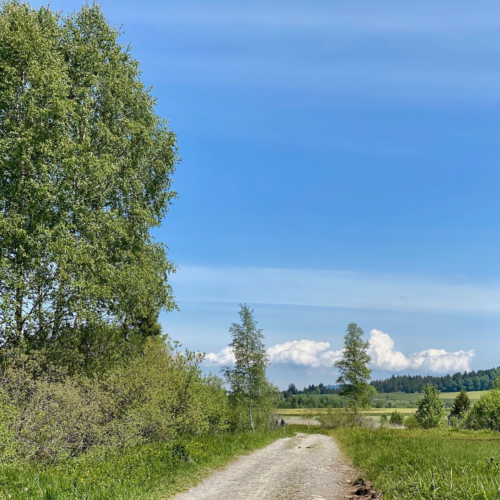
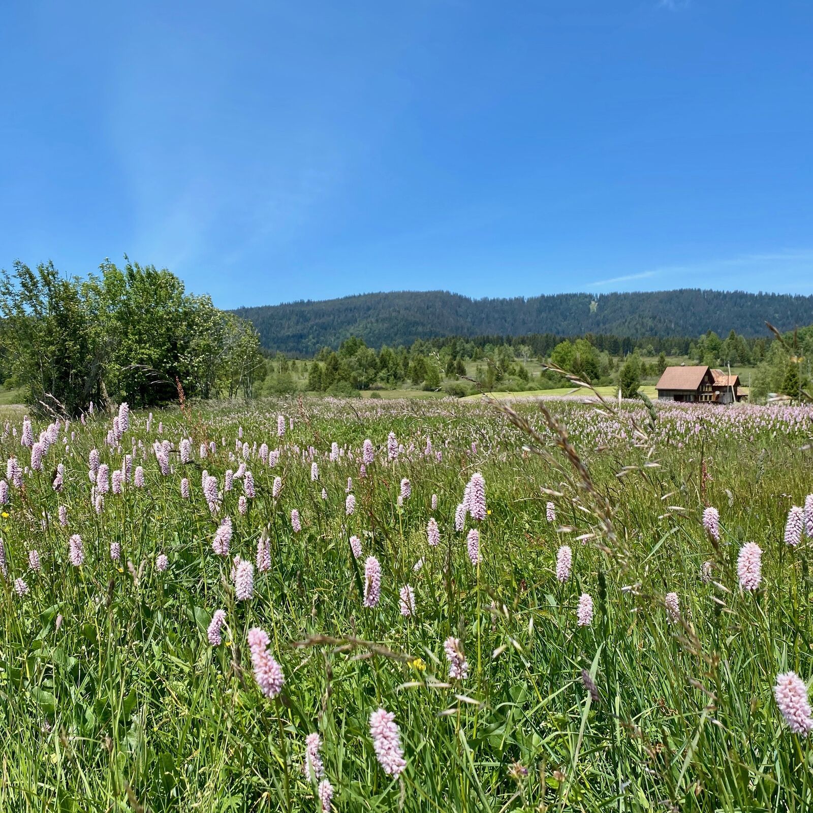
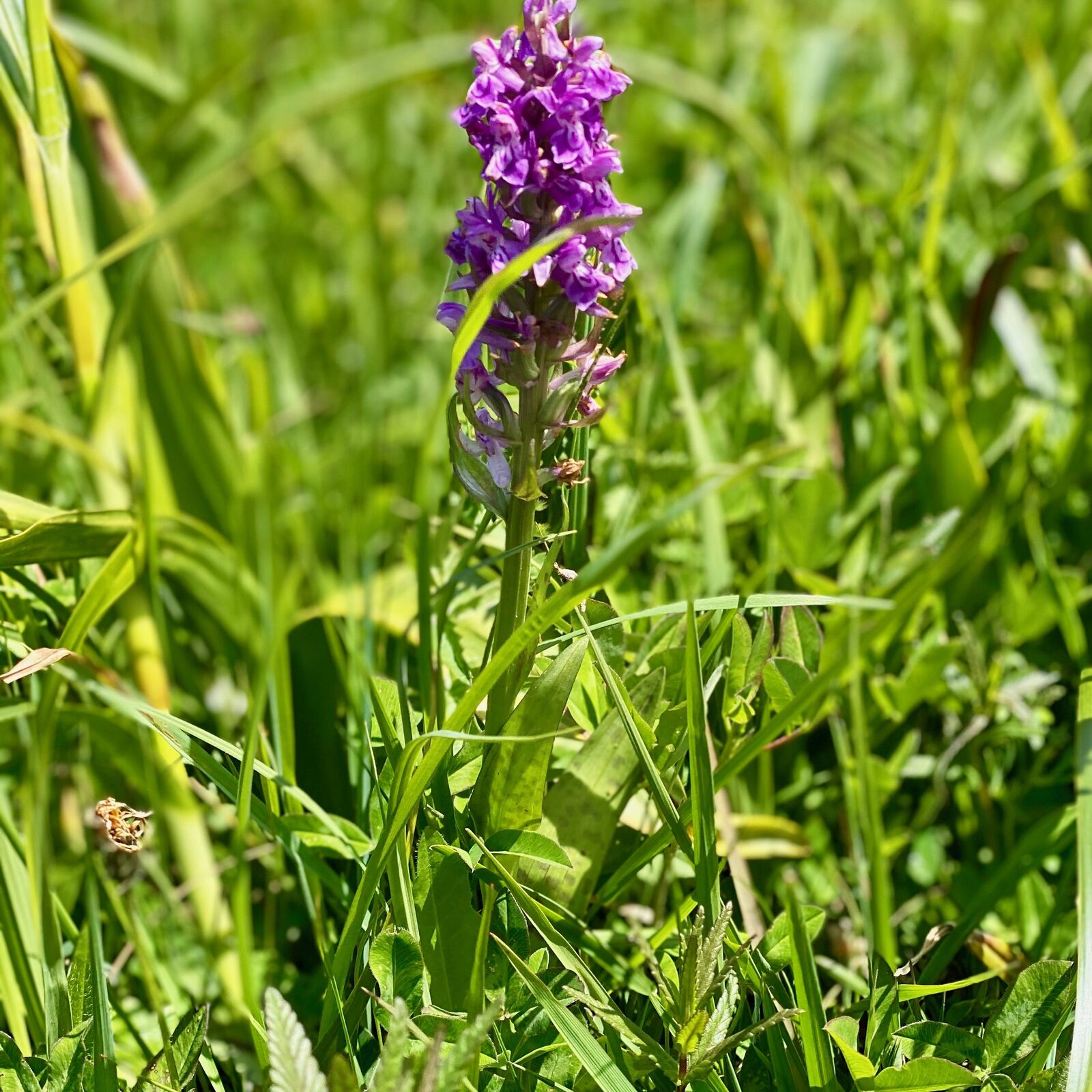
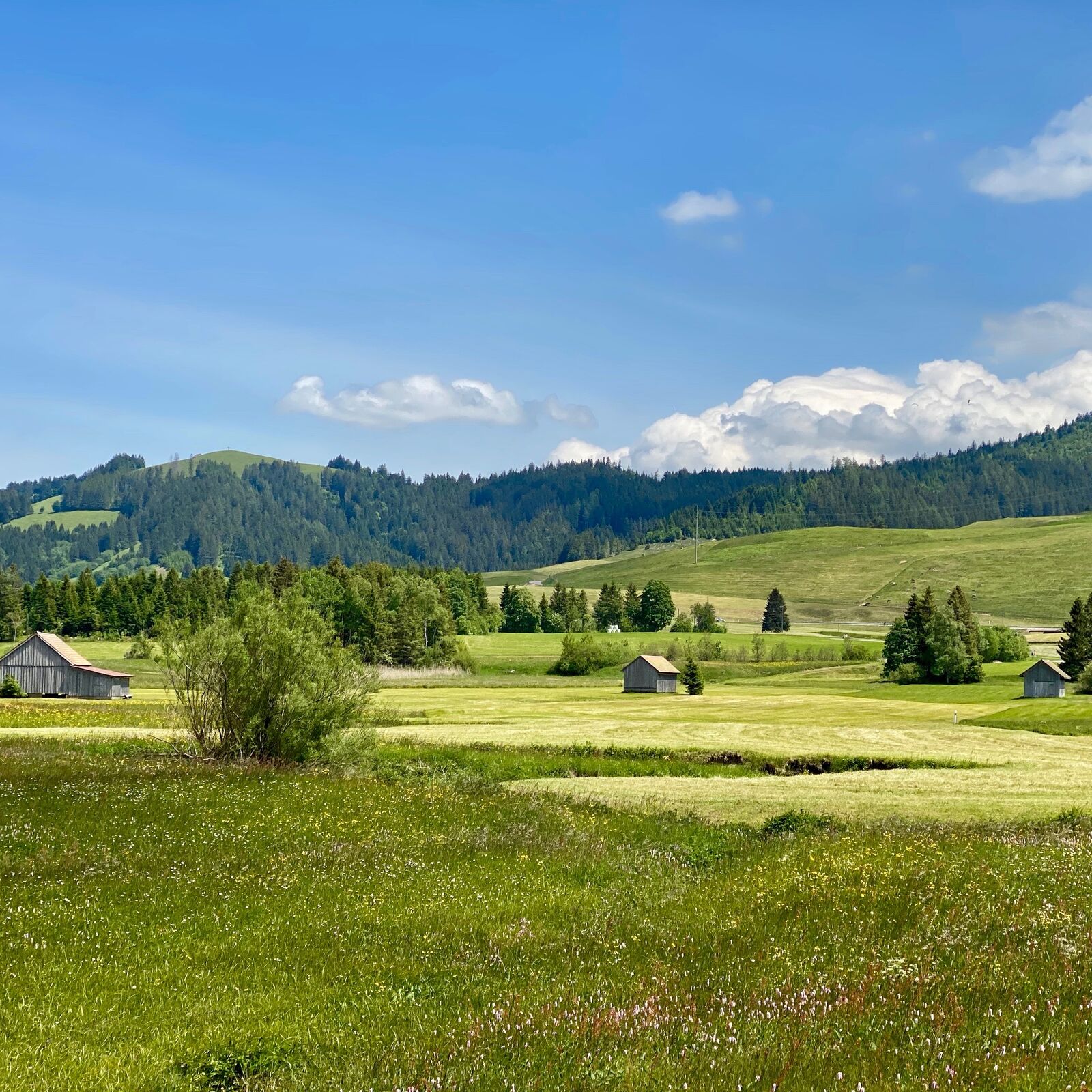
Until the 1940s, peat extraction in the Rothenthurm bog was a flourishing industry. Peat cutting edges and peat huts are a reminder of this time. Today, the 1100-hectare moorland is a protected area, so that you can discover rare natural beauty on a hike. The circular hike is practically flat and is also suitable for families.Along the way you will encounter specialized plant species that can only survive in wetlands, such as cotton grass or cranberries. In the area between Bubrugg and Bibersteg, the Biber stream winds its way freely through the landscape in large sweeps. Such natural streams have become rare in Switzerland.Anyone wishing to take a break in between to admire the colourful mats and surrounding hills in peace and quiet can stop at the Steinstossstübli. The village of Rothenthurm, the starting and finishing point, also offers various catering facilities.
Translated with www.DeepL.com/Translator (free version)
- Highest point
- 925 m
- Endpoint
-
Railwaystation Rothenthurm
- Height profile
-
 © outdooractive.com
 - Tips
-
The easy hike in the high valley of the river Beaver is often above the autumn fog line.
- Author
-
The tour WanderWunder Schwyz: Round Hike Moorland Rothenthurm is used by outdooractive.com provided.
GPS Downloads


General info
Refreshment stop
Flora
Other tours in the regions
-
Schwyz
1747
-
Erlebnisregion Mythen
872
-
Rothenthurm
311