49.02 Vermigelhütte - Gotthardpass, Four Springs Trail

long-distance walking trail

© Sedrun Disentis Tourismus - Heidi Meier
- Brief description
-
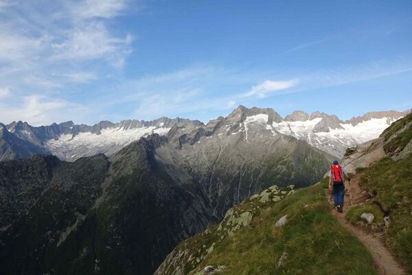
On the Four Springs Trail to the Gotthard Pass
- Difficulty
-
medium
- Rating
-
- Starting point
-
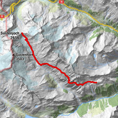
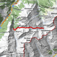
Vermigelhütte
- Route
- Best season
-
JanFebMarAprMayJunJulAugSepOctNovDec
- Description
-
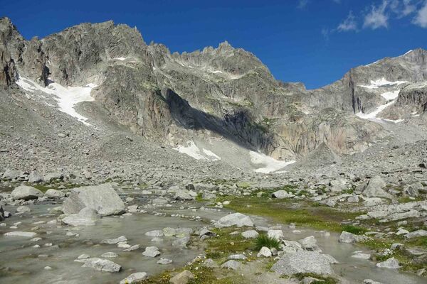
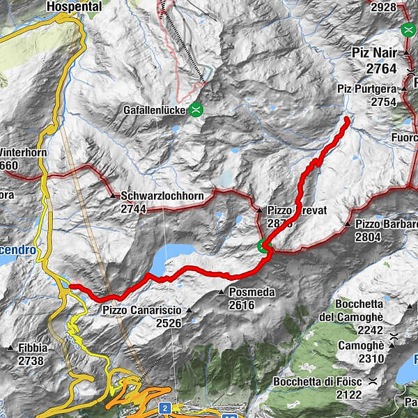
We start off leisurely. Up to the Zingelfurtfluh the terrain is gentle and flat, but then it is quite steep up to the Summermatten. With Piz Giübin in front of us, we strive towards the Sella Pass, with rocky sections to master in between. Piz Giübin is the highest point of this stage: time to relax and enjoy. The descent leads to the dam of Lake Sella and the Gotthard Pass.
- Highest point
- 2,737 m
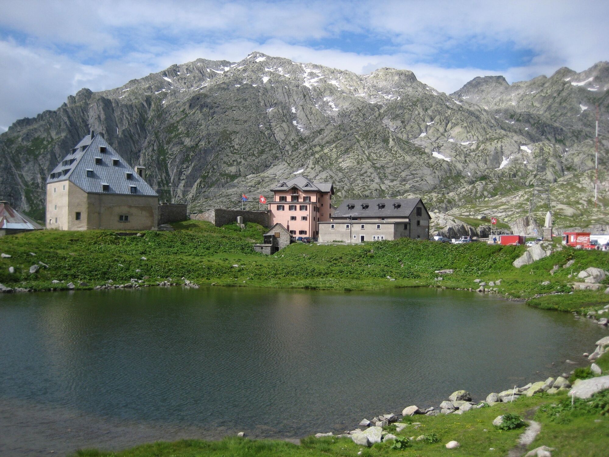
- Endpoint
-
Gotthardpass
- Height profile
-
 © outdooractive.com
 - Additional information
-
Snow fields are possible on the upper sections right through to the summer months.
- Author
-
The tour 49.02 Vermigelhütte - Gotthardpass, Four Springs Trail is used by outdooractive.com provided.
GPS Downloads


General info
Refreshment stop
A lot of view