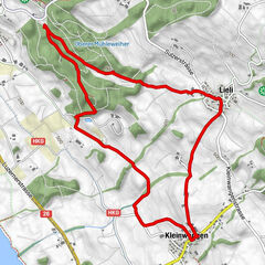
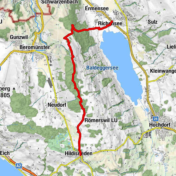
Hildisrieden - Herlisberg - Hitzkirch, Natur und Landschaft am Erlosen

Hiking


- Brief description
-
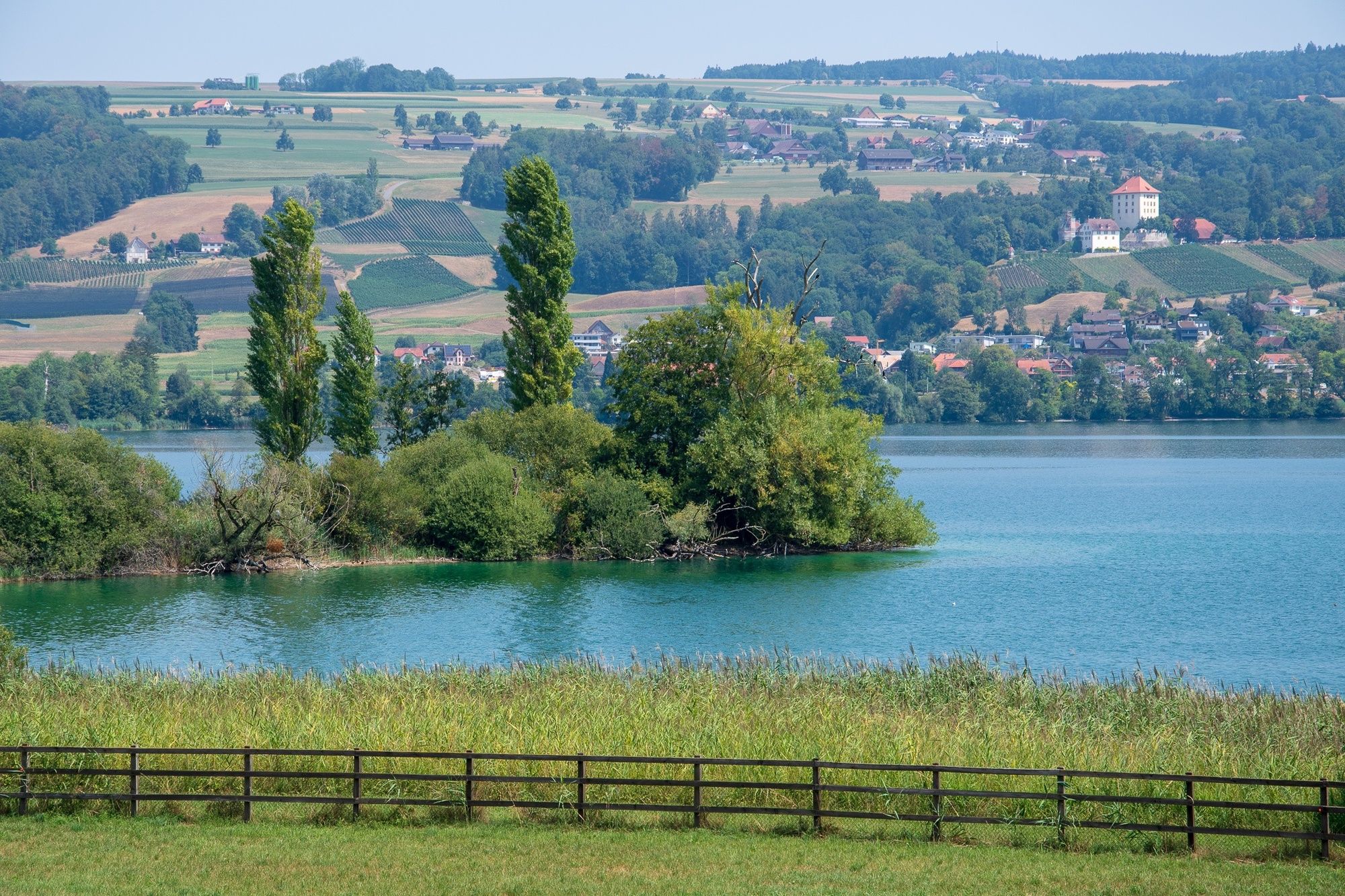
Natur und Landschaft am Erlosen geniessen und erleben.
- Route
-
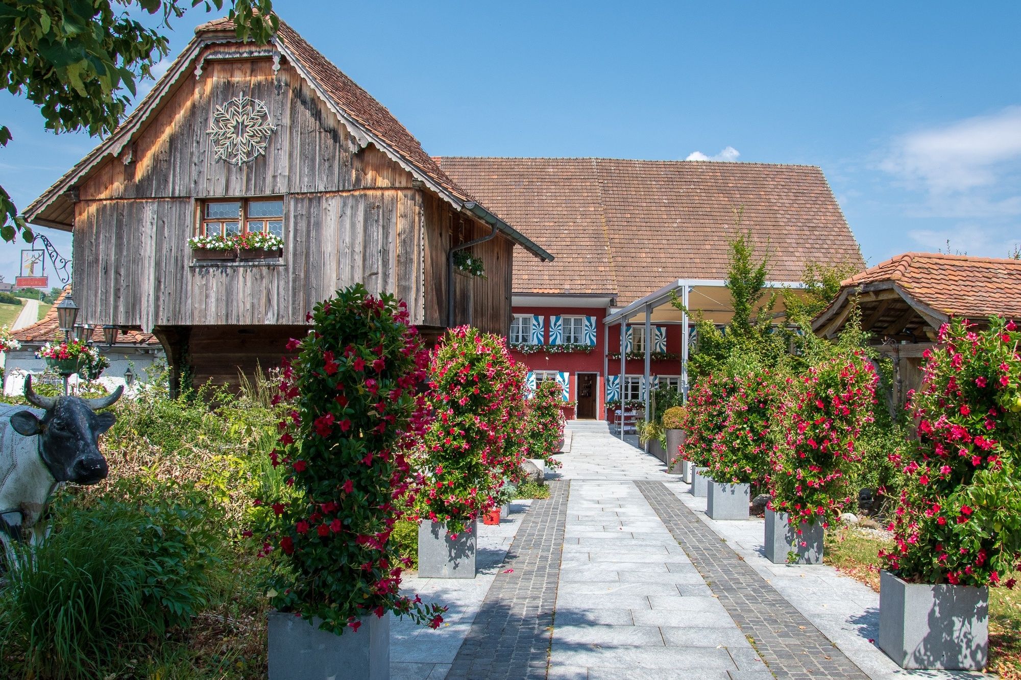
Hildisrieden (685 m)0.0 kmElmenringen1.3 kmBrunnmatt10.7 kmRichensee11.8 kmLöwen11.8 kmRestaurant, Hotel Adler12.0 km
- Best season
-
JanFebMarAprMayJunJulAugSepOctNovDec
- Highest point
- 807 m
- Endpoint
-
Hitzkirch
- Height profile
-
 © outdooractive.com
- Author
-
The tour Hildisrieden - Herlisberg - Hitzkirch, Natur und Landschaft am Erlosen is used by outdooractive.com provided.
GPS Downloads


Other tours in the regions
-
Luzern und Umgebung
1710
-
Luzerner Seetal
603
-
Römerswil
73