

- Brief description
-
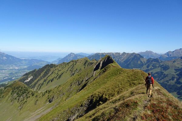
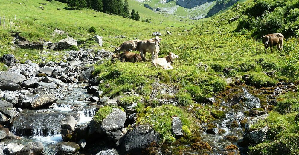
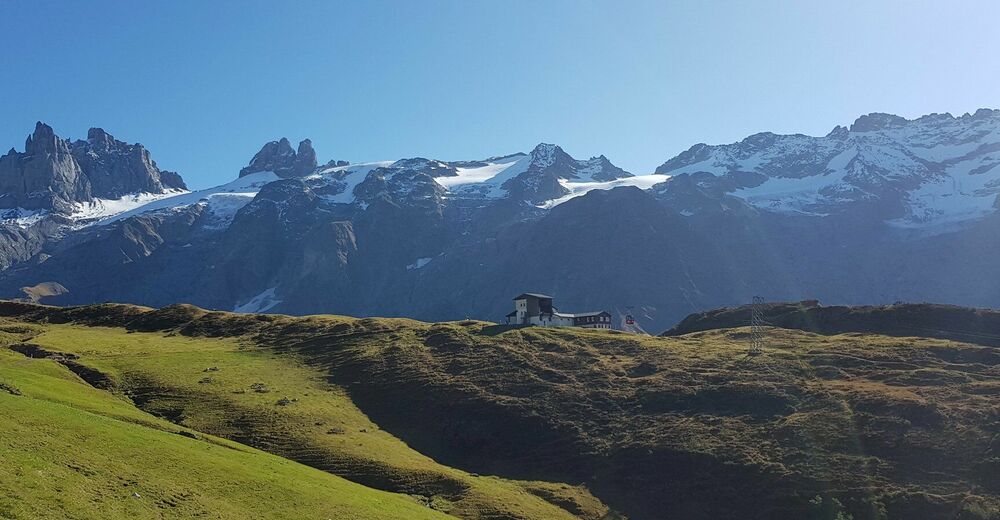
High-altitude hike with unique panorama.
- Starting point
-
Fürenalp
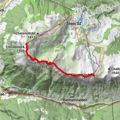
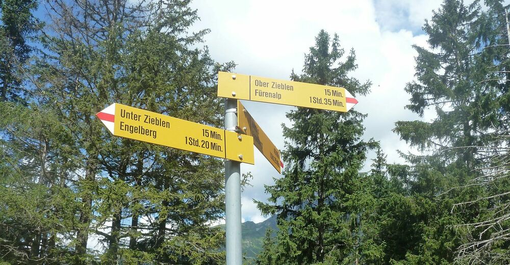
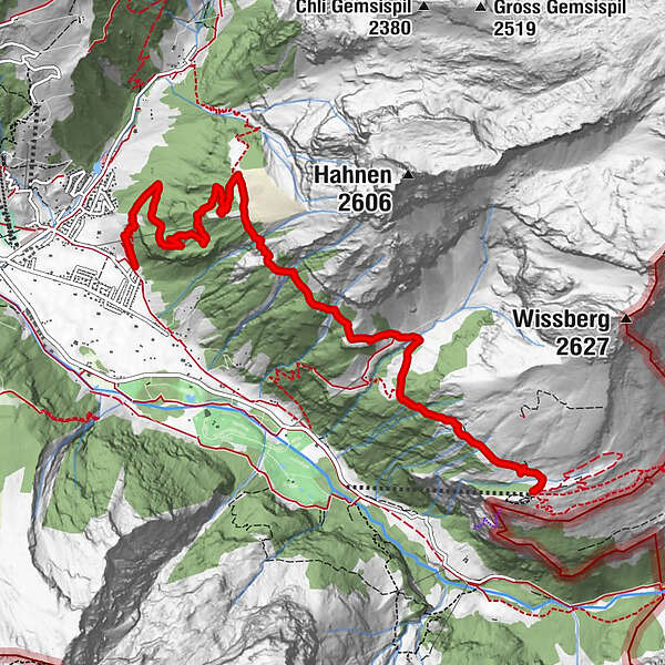
- Route
-
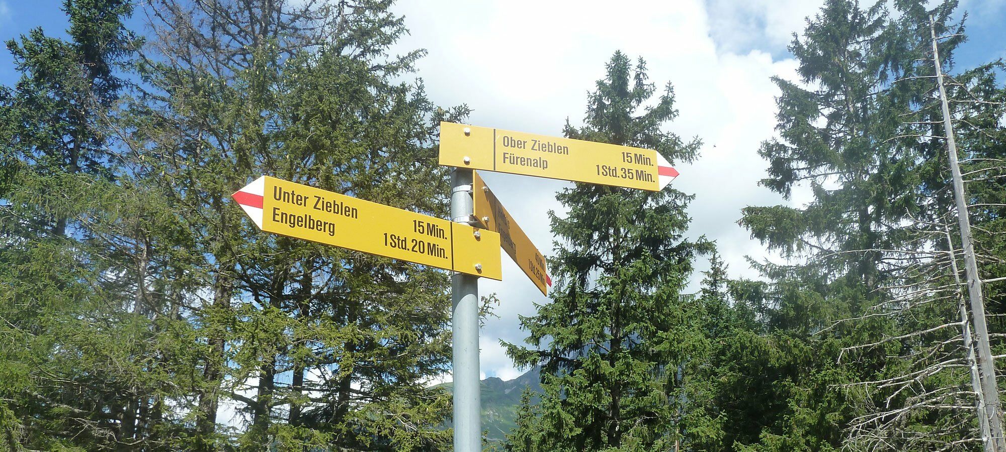
FürenalpDagenstal (1,587 m)2.3 kmBergstation Zieblen4.2 kmBerg8.0 km
- Description
-
The panorama hike from Fürenalp - Dagenstal - Ober Zieblen to Schweizerhaus takes you along the home mountatin Hahnen. At first the hike winds along the Hahnen affording views of golf course below and Titlis above. From Ober Zieblen to Schweizerhaus the path winds down in a series of curves. Recover at the restaurant Schweizerhaus (why not order a delices dessert?) before heading to Engelberg or back to the valley station Fürenalp.
- Highest point
- 1,837 m
- Endpoint
-
Engelberg
- Height profile
-
 © outdooractive.com
 - Additional information
- Directions
-
By car you drive on the A2 (Basel-Gotthard) to Stans Süd, then on the main road 20 km to Engelberg. Engelberg is 30 minutes from Lucerne, 1 hour and 15 minutes from Basel, Zurich or Bern.
- Public transportation
-
National and international connections (from Zurich airport connections every half hour with approx. 1h travel time) to Lucerne.Afterwards with the Zentralbahn in 43 minutes through varied landscape and gorges up to Engelberg.
- Parking
-
Parking spaces are available in Engelberg for a fee.


-

-
AuthorThe tour High trail Fürenalp - Dagenstal - Zieblen is used by outdooractive.com provided.