


- Brief description
-
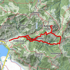
Lauerz - Schlüchtli - Ottental - Husmatt - Seematt - Lauerz
Cosy circular hike through Lauerz with views to the Rigi and the Rossberg.
- Difficulty
-
easy
- Rating
-
- Starting point
-
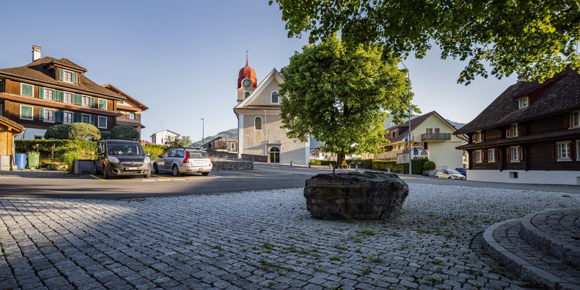
Lauerz
- Route
-
FischerstubeFischerstube2.8 km
- Best season
-
JanFebMarAprMayJunJulAugSepOctNovDec
- Description
-
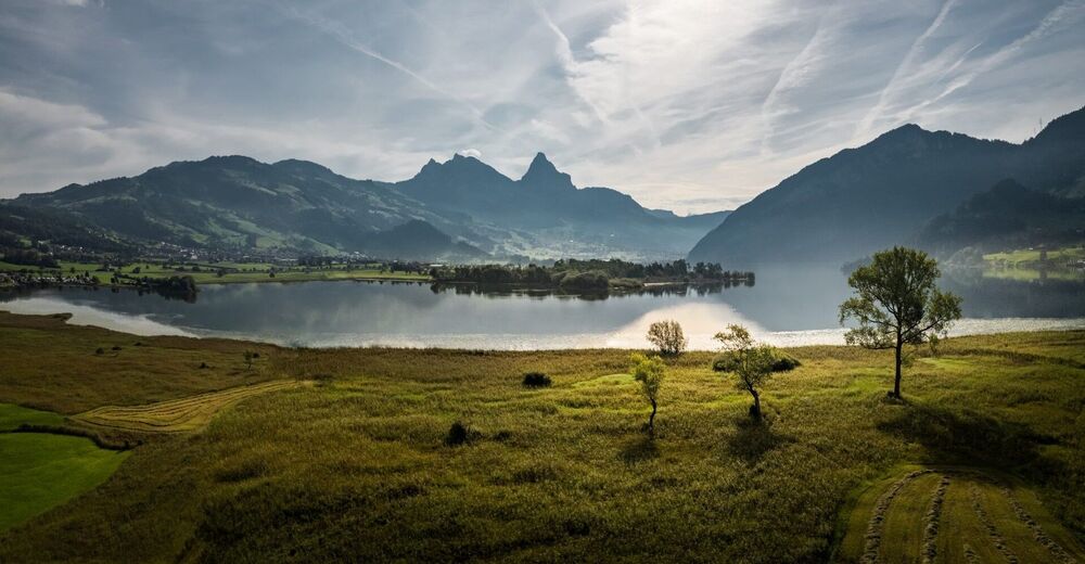
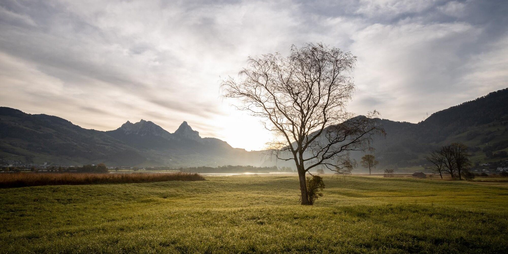
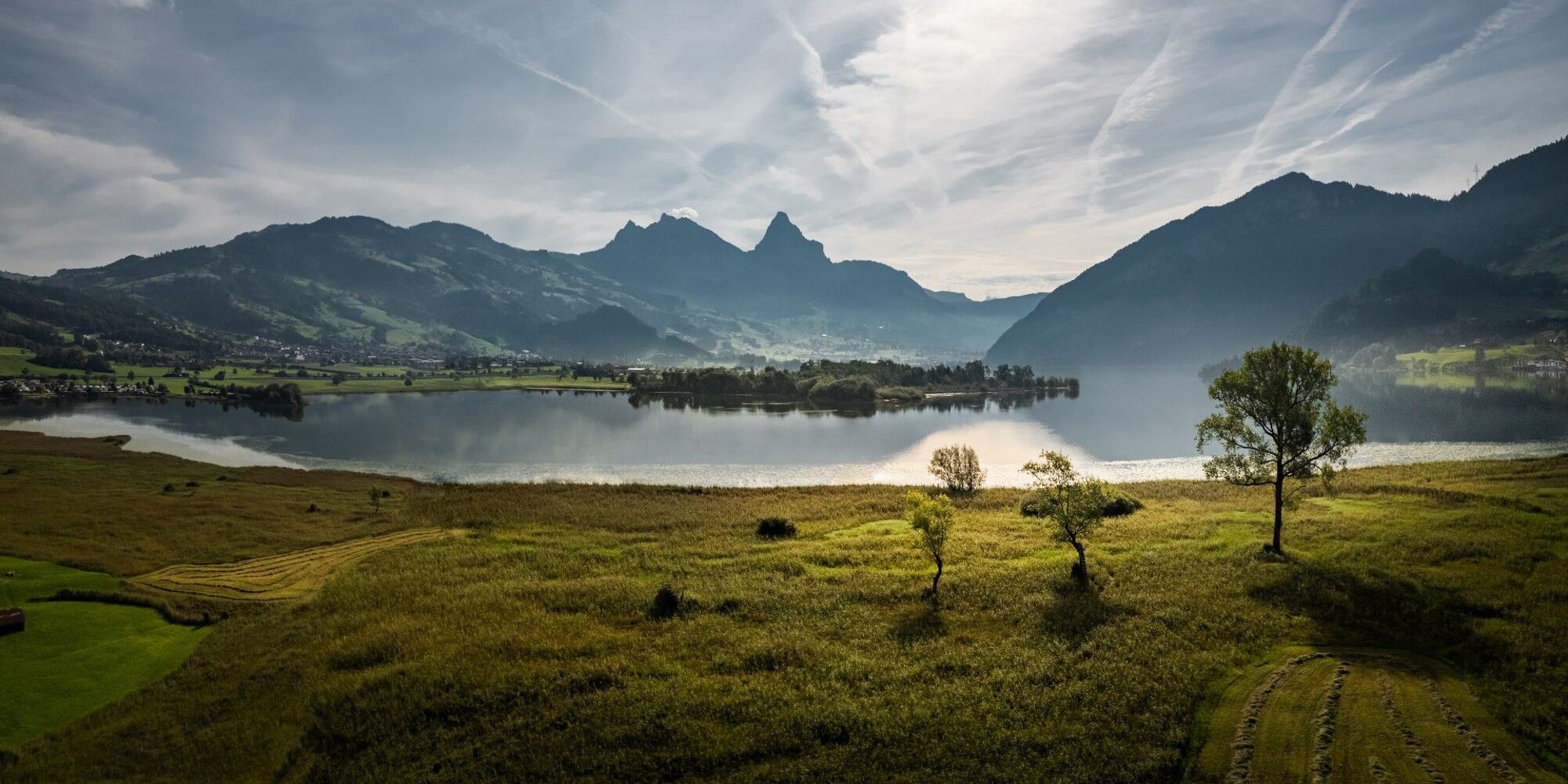
Lauerz, the jewel in the sunny heart of Switzerland, lies at the idyllic Lauerzersee and at the foot of the Rigi which invites you to eat, hike, cycle and linger.
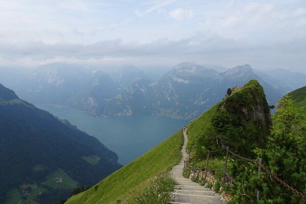
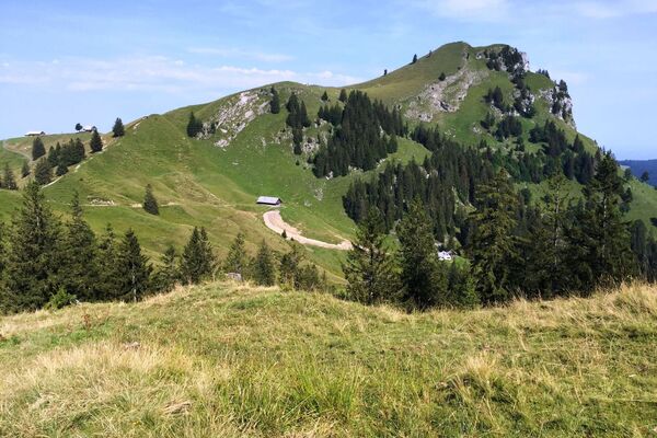
On this short hike at the edge of the Lauerz village you will experience the nature near Lake Lauerz with a constant view of the Rigi and the Rossberg with the gigantic demolition of the rockfall of Goldau anno 1806.
For your information
In order to let our next generation also be inspired from the Queen of the Mountains, may we ask you to dispose of your own waste at Rigi Stations. Thank you.
- Directions
-
Lauerz (450 m) - Schlüchtli (606 m) - Ottental (499 m) - Husmatt - Seematt - Lauerz (450 m)
- Highest point
- 578 m
- Endpoint
-
Lauerz
- Height profile
-
 © outdooractive.com
 - Equipment
-
High profiled hiking boots or trakking boots, rain jacket, drink, food and walking sticks when possible.
- Tips
-
I recommend a short uphill walk to Weidstein, where you can enjoy the fantastic views over the Lake of Lauerz.
- Directions
-
From the motorway exit Goldau drive towards Lauerz.
- Public transportation
- Parking
-
In Lauerz village there are various paid parking lots avaliable.
-

-
AuthorThe tour Lauerz - Husmatt - Lauerz is used by outdooractive.com provided.


General info
-
Schwyz
1748
-
Erlebnisregion Mythen
872
-
Lauerz
426