© Einsiedeln-Ybrig-Zürichsee AG

© Einsiedeln-Ybrig-Zürichsee AG

© Einsiedeln-Ybrig-Zürichsee AG

© Einsiedeln-Ybrig-Zürichsee AG

© Einsiedeln-Ybrig-Zürichsee AG

- Brief description
-
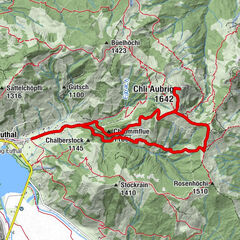
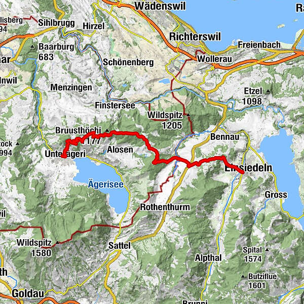
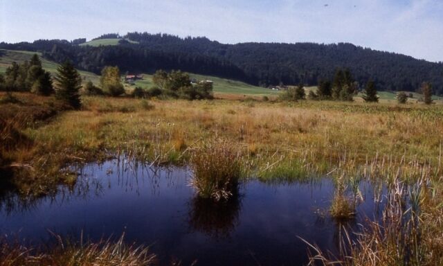
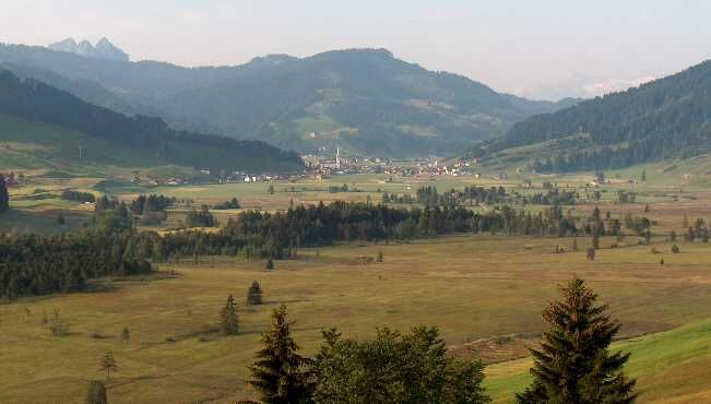
Der Alpenpanoramaweg führt auf einer abwechslungsreichen Tour auf einem alten Pilgerweg von Einsiedeln nach Unterägeri.
- Difficulty
-
medium
- Rating
-
- Route
-
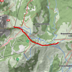
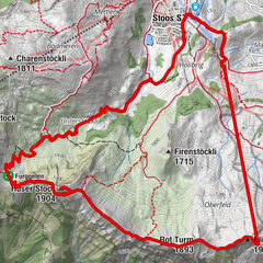
Einsiedeln0.0 kmReformierte Kirche Einsiedeln0.3 kmMaria End2.1 kmChatzenstrick (1,053 m)2.3 kmRestaurant Schlüssel4.0 kmRössli4.5 kmAltmatt (920 m)4.6 km3. Altmatt4.7 kmBergbeizli St. Jost7.6 kmRatengütsch (1,119 m)8.4 kmRestaurant Raten8.7 kmMangelhöhe (1,103 m)12.3 kmBruhsthöchi (1,100 m)12.7 kmGrümel14.0 kmBergwirtschaft Kistenpass15.4 kmOberdorf18.7 kmUnterägeri18.8 km
- Best season
-
JanFebMarAprMayJunJulAugSepOctNovDec
- Highest point
- 1,206 m
- Endpoint
-
Unterägeri Zentrum
- Height profile
-
 © outdooractive.com


- Author
-
The tour Alpenpanoramaweg Einsiedeln-Unterägeri is used by outdooractive.com provided.
GPS Downloads


General info
Refreshment stop
Cultural/Historical
A lot of view
Other tours in the regions
-
Schwyz
1747
-
Ägerital - Sattel
911
-
Rothenthurm
311