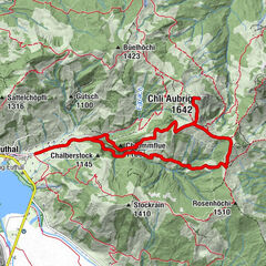


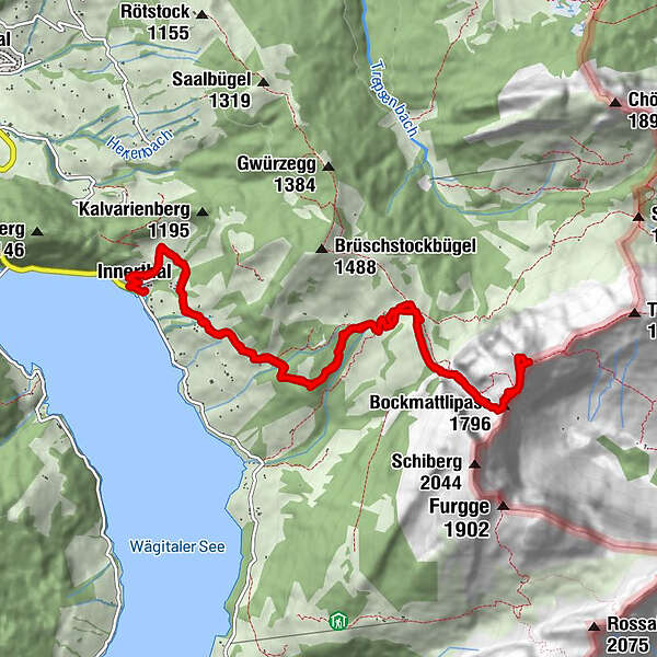
Tour data
12.4km
915
- 1,931m
1,016hm
1,016hm
05:30h
- Brief description
-
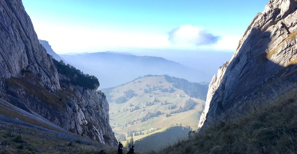
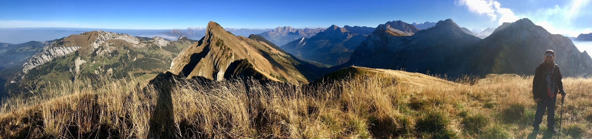
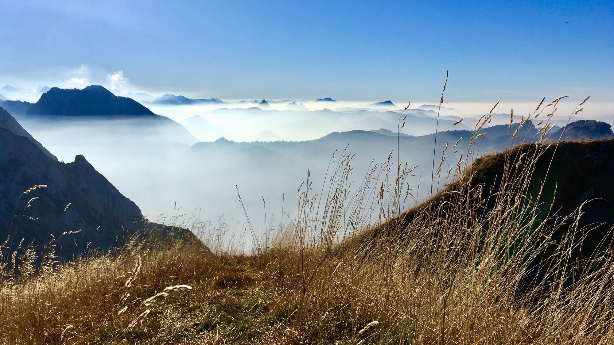
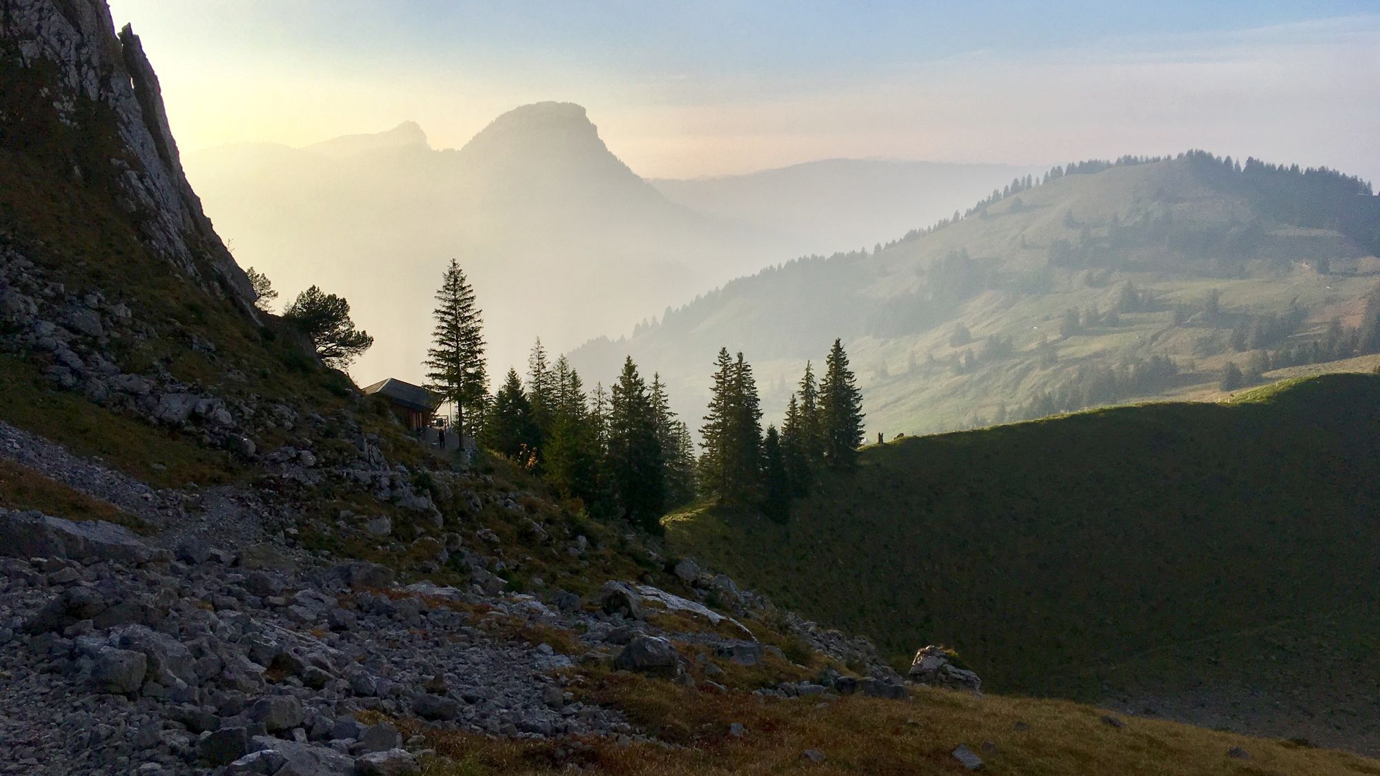
Innerthal - Bockmattli
- Difficulty
-
medium
- Rating
-
- Starting point
-
Innerthal
- Route
-
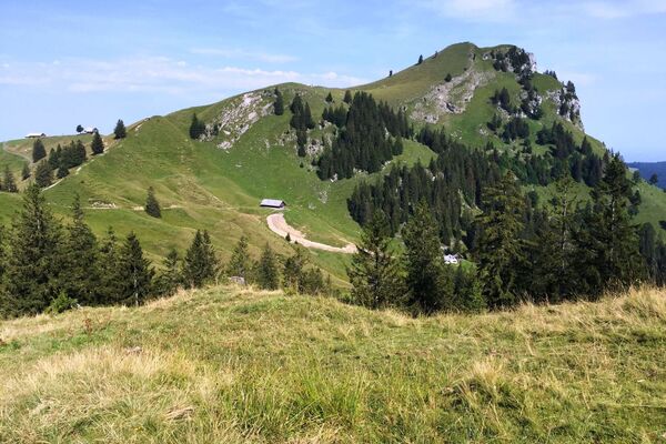
Innerthal0.0 kmPfarrkirche St. Katharina0.1 kmObere Sehrhalten0.7 kmDunkelboden0.9 kmRossweid1.7 kmKletterhütte Bockmattli4.7 kmBockmattlistock (1,932 m)6.3 kmRossweid10.4 kmDunkelboden11.2 kmObere Sehrhalten11.5 kmPfarrkirche St. Katharina12.0 kmInnerthal12.3 kmStausee12.4 km
- Best season
-
JanFebMarAprMayJunJulAugSepOctNovDec
- Highest point
- Bockmattli (1,931 m)
- Endpoint
-
Bockmattli
- Rest/Retreat
-
Bockmattlihütte - www.bockmattli.ch - wegwandern.ch/listing/waegital-innert...


GPS Downloads


Other tours in the regions
-
Glarnerland
1972
-
Einsiedeln-Ybrig-Zürichsee
867
-
Wägital
157