

- Brief description
-
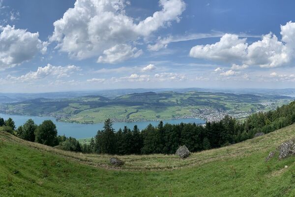
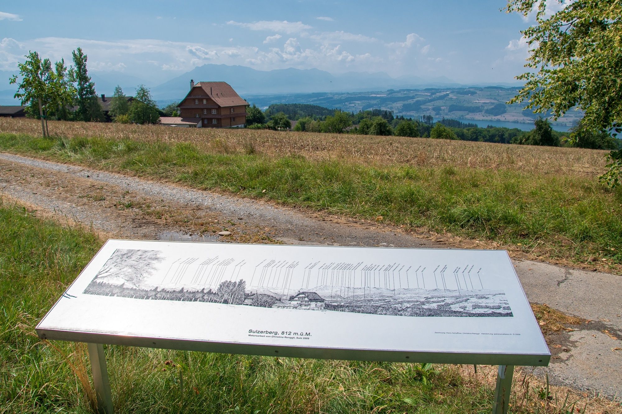
A walk with plenty of views above the sea of clouds.
- Difficulty
-
easy
- Rating
-
- Starting point
-
Hämikon, Berg
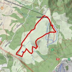
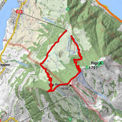
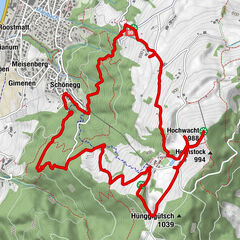
- Route
-
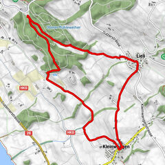
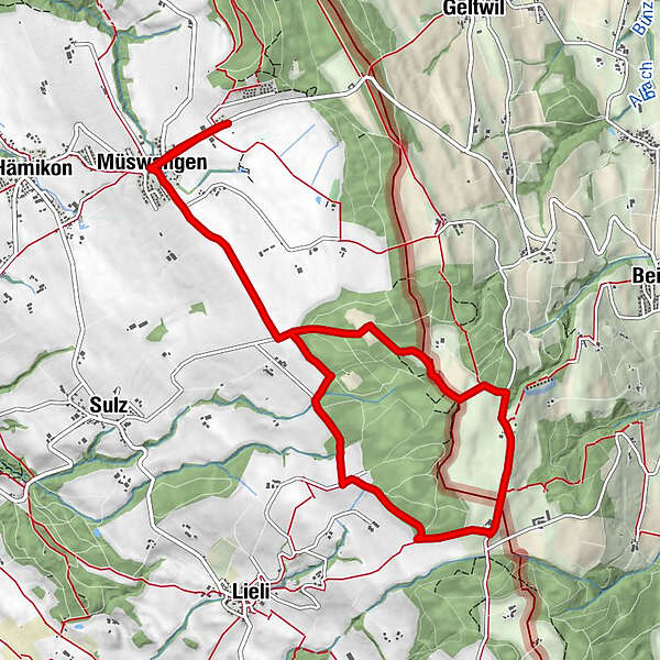
Gasthaus Hippotel0.0 kmLinde0.5 kmMüswangen0.7 kmNussbaum Beizli5.1 kmAlp Restaurant Horben6.2 kmLinde10.5 kmMüswangen10.5 kmGasthaus Hippotel11.2 km
- Best season
-
JanFebMarAprMayJunJulAugSepOctNovDec
- Description
-
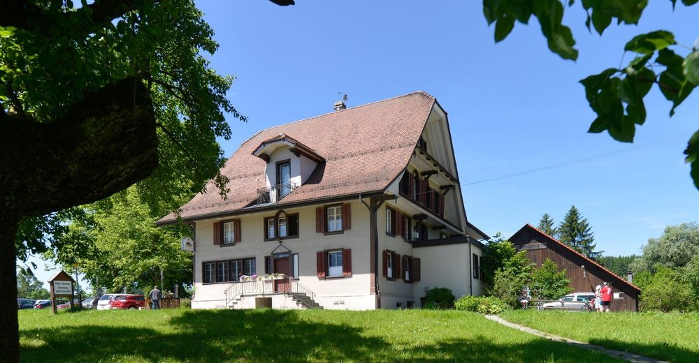
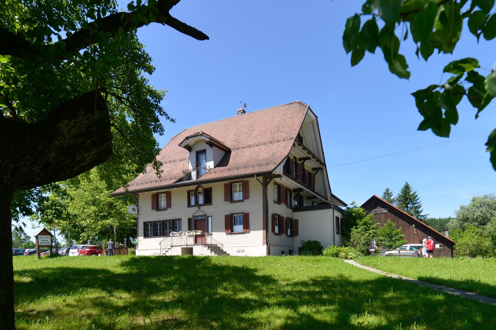
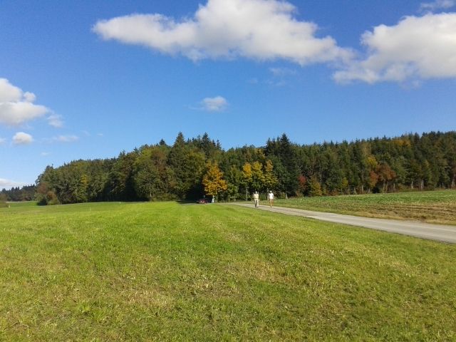
The walk starts at the Gasthaus Hämikerberg, an inn which is easily accessible by car or public transport. You walk through Müswangen over the Matten to the Sulzer Kreuz. The path takes you along the edge of the forest via Oberillau to the Horben alp with its good food and great views. You continue through the Sulzer forest back to the Sulzer Kreuz and the Hämikerberg inn, where you can relax over a refreshing drink.
Tip: the inn (alt. 810 m) has a webcam so you can check in the winter months whether the walk is above the fog/clouds before you set off. www.horben.ch
- Directions
-
Hämikon, Berg - Müswangen - Sulzer Kreuz - Oberillau - Horben - Sulzer Kreuz - Müswangen - Hämikon, Berg
- Highest point
- 855 m
- Endpoint
-
Hämikon, Berg
- Height profile
-
 © outdooractive.com
 - Additional information
-
Hämikerberg inn: www.gasthaus-haemikerberg.ch (closed Mondays)
Horben alp: www.horben.ch (closed Tuesdays)

- Author
-
The tour Hämikon Berg - Horben - Hämikon Berg is used by outdooractive.com provided.
GPS Downloads


Other tours in the regions
-
Luzern und Umgebung
1710
-
Luzerner Seetal
603
-
Geltwil
99