


- Brief description
-
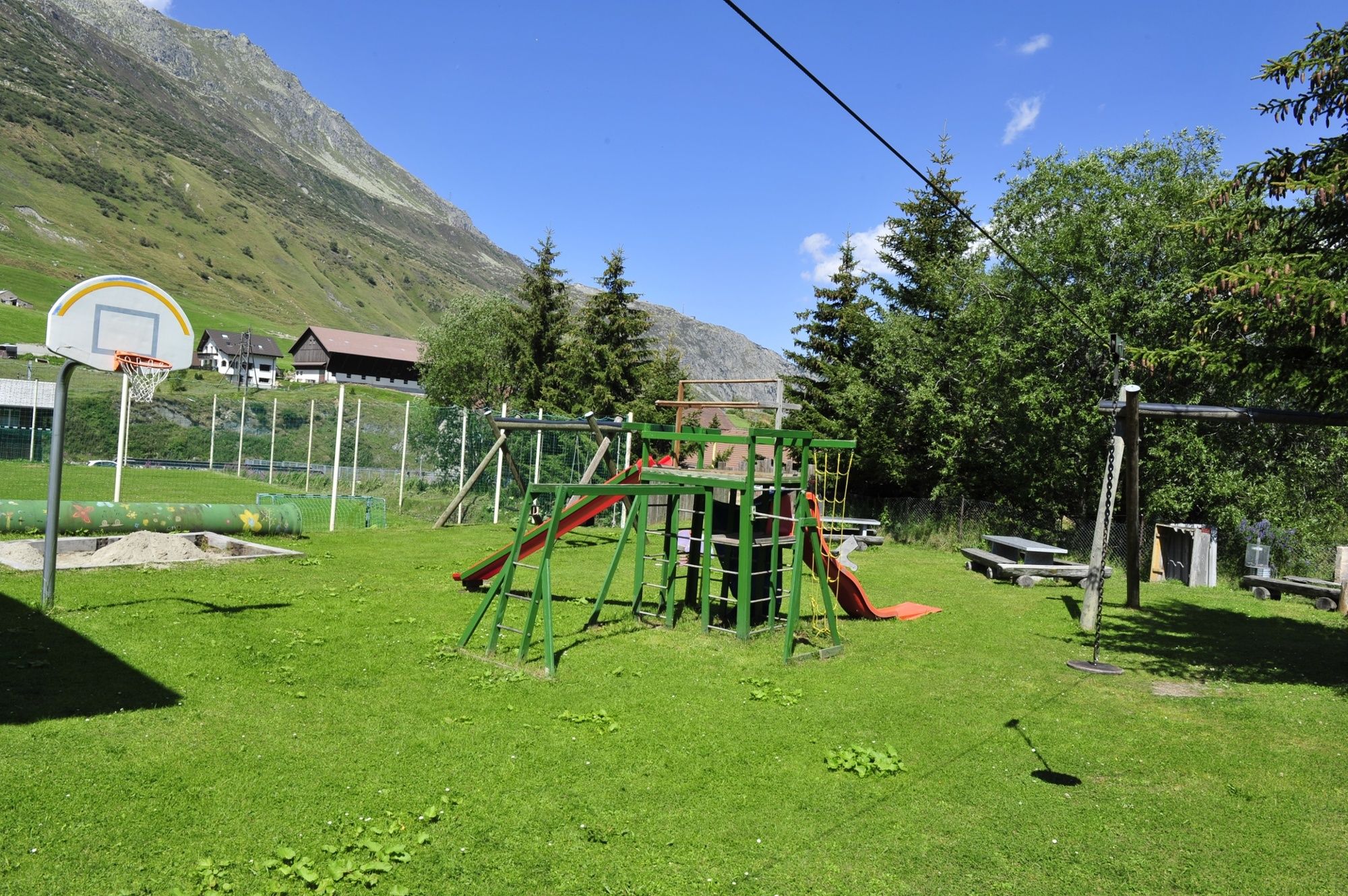
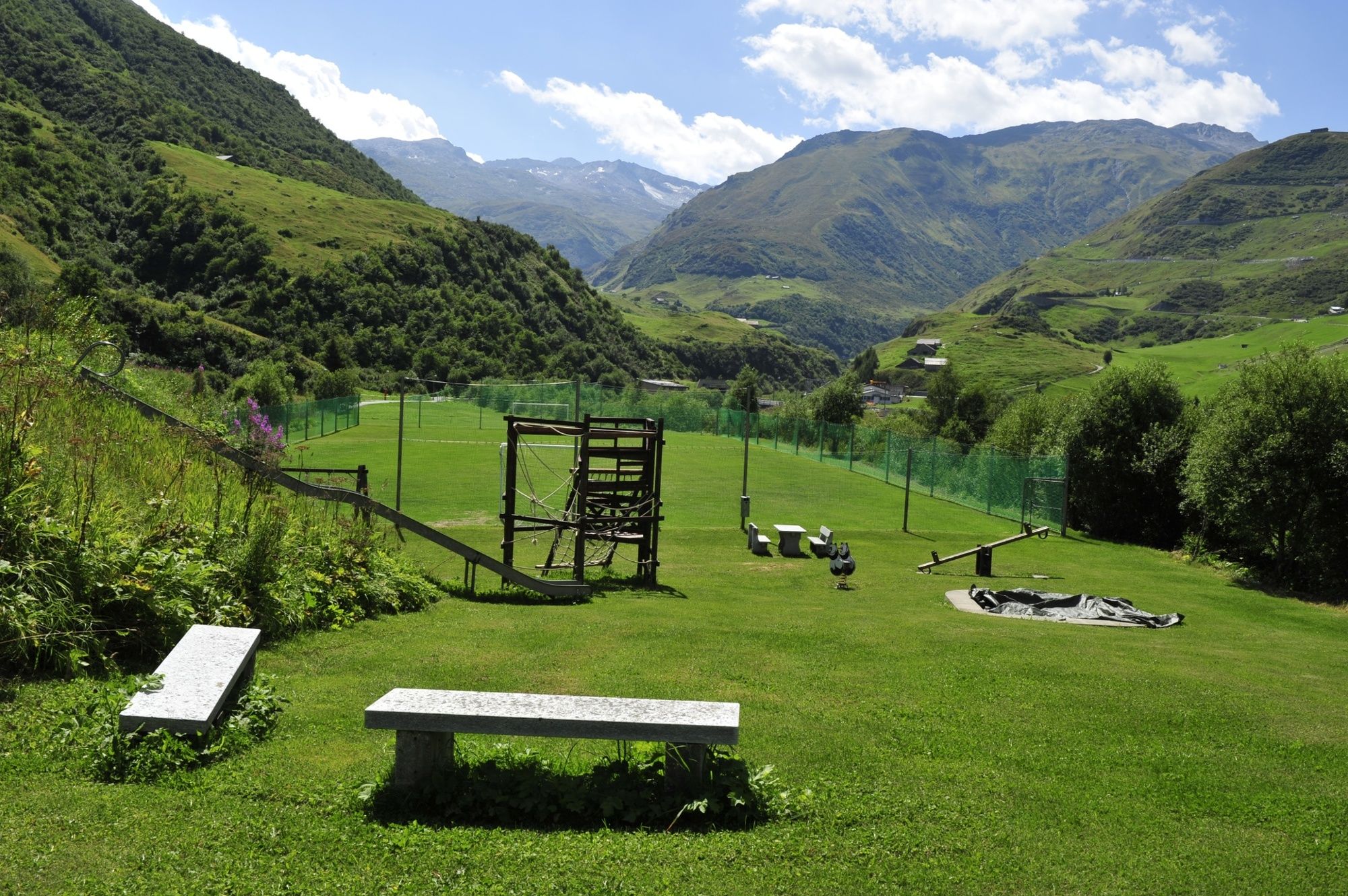
This is a perfect family hike through the Ursern valley that takes in several playgrounds and barbecues along the route.
- Difficulty
-
easy
- Rating
-
- Starting point
-
Train station Andermatt
- Route
-
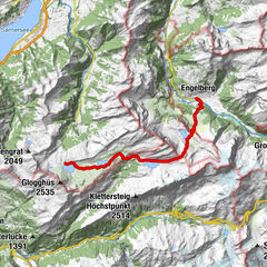
Andermatt (1,436 m)0.0 kmAndermatt (1,447 m)0.2 kmBahnhofgebäude3.4 kmHospental (1,452 m)3.5 kmSteinbergen8.4 kmKapelle Steinbergen8.8 kmRealp (1,538 m)9.6 kmRealp (1,538 m)9.7 km
- Best season
-
JanFebMarAprMayJunJulAugSepOctNovDec
- Description
-
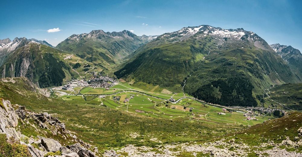
On the sunny side, the valley trail leads along the River Reuss and past the golf course to Hospental. Hikers will find themselves walking across magnificent flowering meadows to Zumdorf, the smallest village in Switzerland. After Realp, you will walk through the unique pasture landscape on the Furkareuss dam. In July, the flora along the trail is particularly lush.
- Directions
-
Andermatt Bahnhof – Giessen – Rüssenbiel – Hospental Bahnhof – Richleren – Zumdorf – Steinbergen – Realp Bahnhof
- Highest point
- 1,538 m
- Endpoint
-
Train station Realp
- Height profile
-
 © outdooractive.com
 - Equipment
-
Clothing appropriate for the weather
Sturdy footwear
Daypack - Tips
-
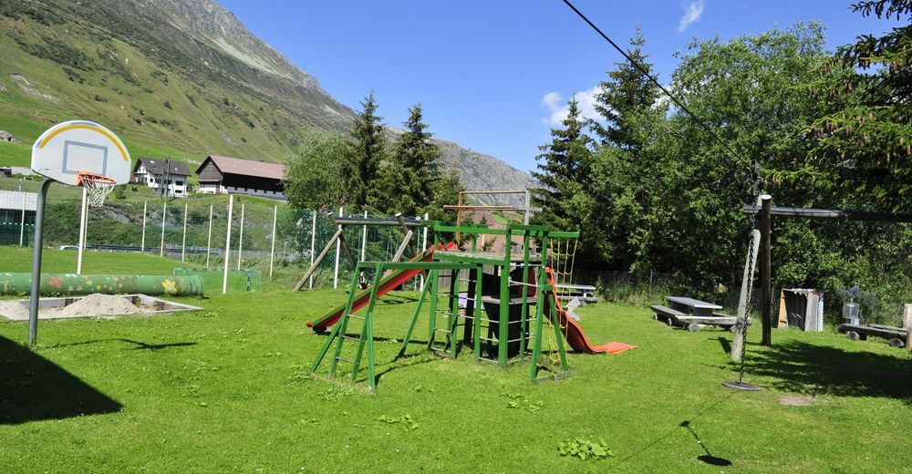
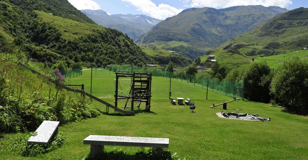
Playground in Hospental and Realp incl. fireplace
Daypack/grill
Tower in Hospental
Zumdorf (smallest village in Switzerland)
Steinbergen Chapel


- Author
-
The tour Andermatt-Realp is used by outdooractive.com provided.