
- Brief description
-
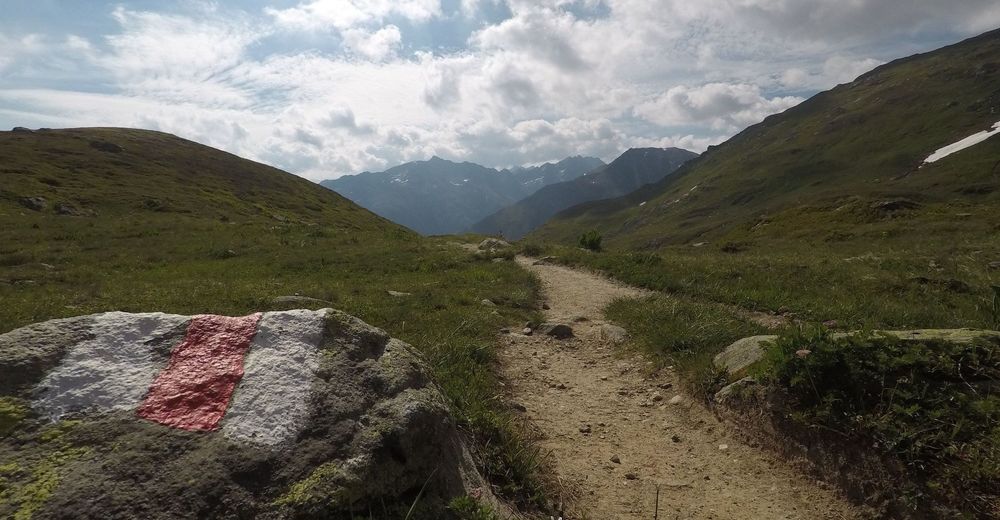
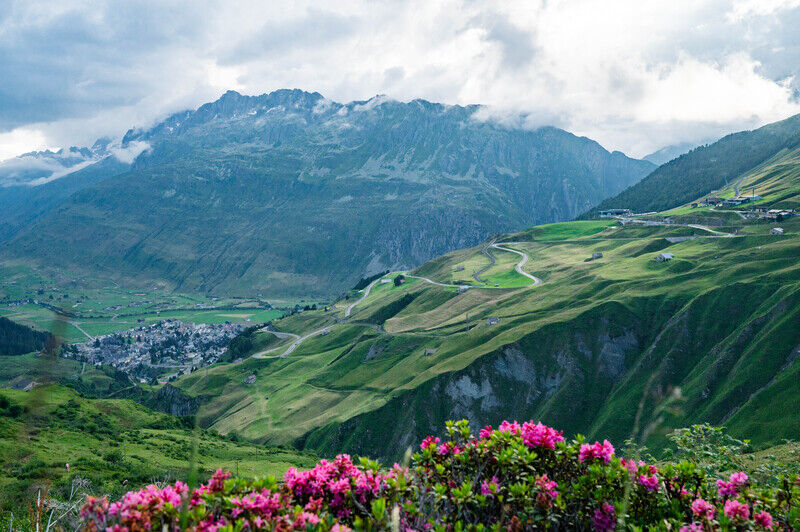
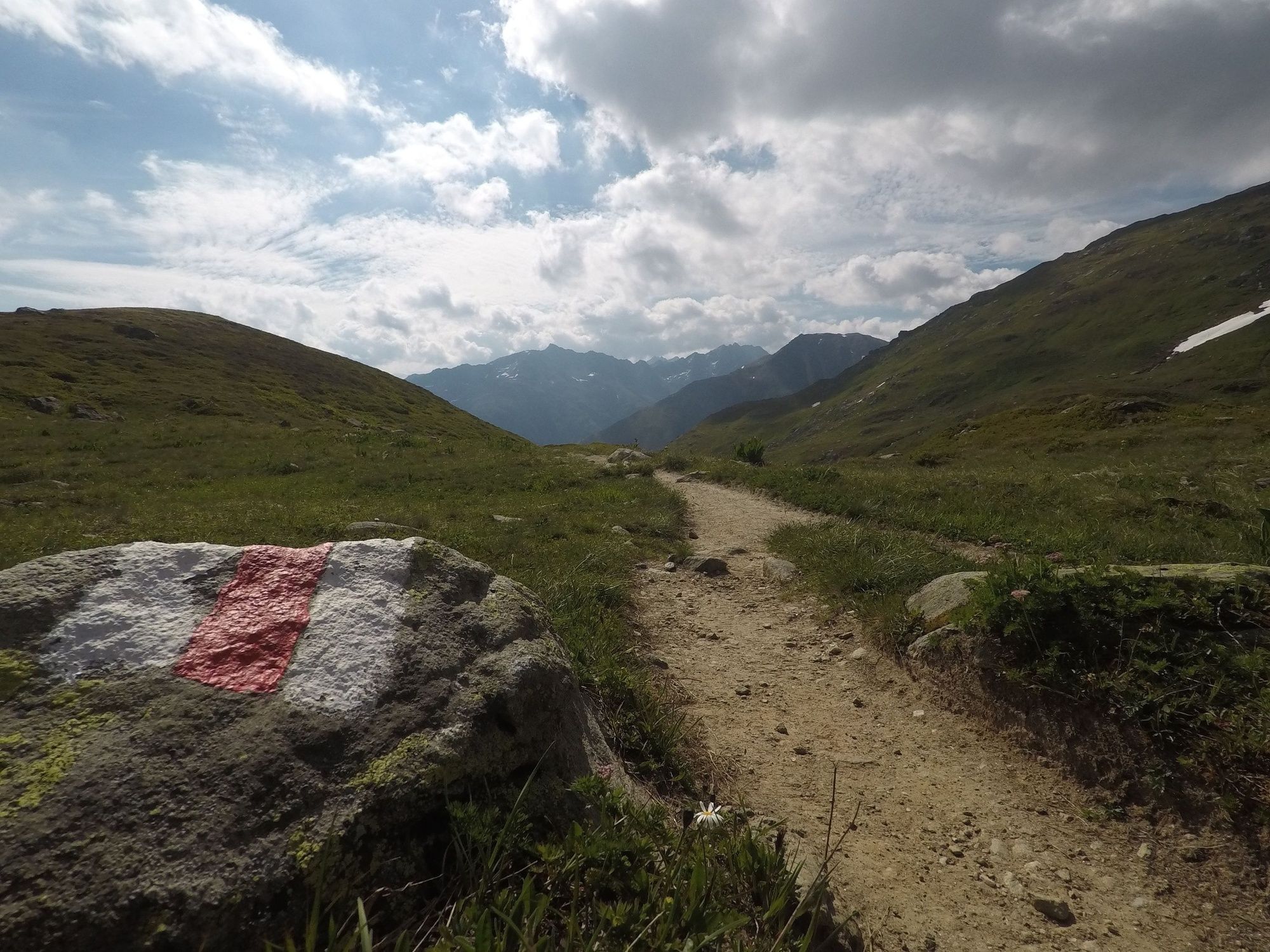
During the hike over the Pazolastock you will meet few people and, as a bonus, also enjoy a wonderful mountain panorama that extends from the Uri Alps all the way down into the Surselva.
- Difficulty
-
medium
- Rating
-
- Starting point
-
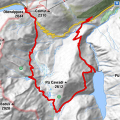
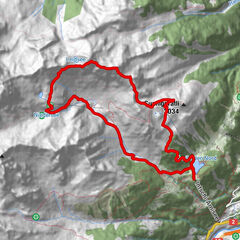
Train station Oberalppass
- Route
-
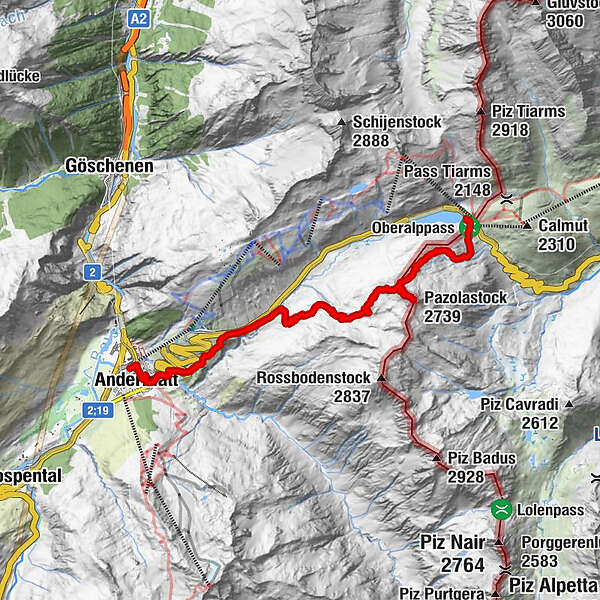
Oberalppass (2,033 m)Piz Calmot0.1 kmGasthaus Piz Calmot0.2 kmPazolastock (2,739 m)3.4 kmAndermatt (1,447 m)11.5 kmAndermatt (1,436 m)11.9 km
- Best season
-
JanFebMarAprMayJunJulAugSepOctNovDec
- Description
-
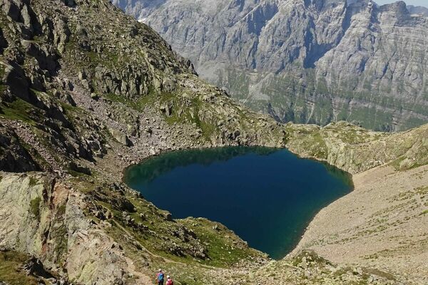
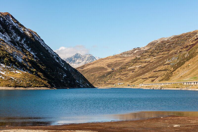
Father Placidus A. Spescha (1752 - 1833) already described Lake Toma as follows: "The lake which is 200 paces wide and 400 paces long is the basin from which the Anterior Rhine originates. The area is one of astounding beauty and therefore worthy of being the primary source of such a river."
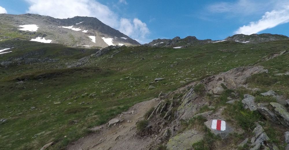
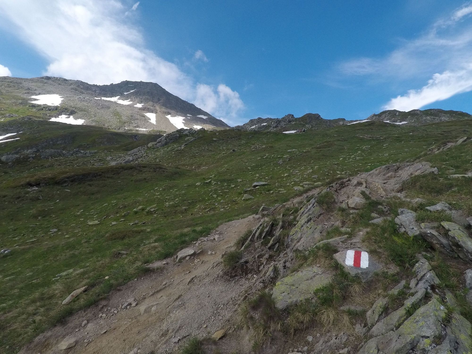
The tour begins on the Oberalp Pass just behind the lighthouse which is a replica of the former lower range light in the Hook of Holland and is intended to bridge the distance from the source to the mouth of the Rhine. Rising gently initially, the route then forms short hairpin bends and leads to the first waypoint, the summit of the Pazolastock. A stony, airy ridge needs to be overcome before the Fil da Tuma is reached, but you can always cling to the many boulders the line the route. The route passes alongside the Badus mountain shelter. Having passed the shelter, a 20 minute downhill walk will bring you to Lake Toma. Solitude is something rare here, but you will always be able to find suitable spots at which to rest and stay a little longer. Be it on one of the large stones with views of the lake or on some of the green groundcover right around the lake. The route back to the Oberalp Pass leads past the eastern flank of the Pazolastock. In summer, the sweet-smelling Turk's cap lily flowers here.
- Directions
-
During the hike over the Pazolastock you will meet few people and, as a bonus, also enjoy a wonderful mountain panorama that extends from the Uri Alps all the way down into the Surselva. The tour begins on the Oberalp Pass just behind the lighthouse which is a replica of the former lower range light in the Hook of Holland and is intended to bridge the distance from the source to the mouth of the Rhine. Rising gently initially, the route then forms short hairpin bends and leads to the first waypoint, the summit of the Pazolastock. A stony, airy ridge needs to be overcome before the Fil da Tuma is reached, but you can always cling to the many boulders the line the route. The route passes alongside the Badus mountain shelter. Having passed the shelter, a 20 minute downhill walk will bring you to Lake Toma. Solitude is something rare here, but you will always be able to find suitable spots at which to rest and stay a little longer. Be it on one of the large stones with views of the lake or on some of the green groundcover right around the lake. The route back to the Oberalp Pass leads past the eastern flank of the Pazolastock. In summer, the sweet-smelling Turk's cap lily flowers here.
- Highest point
- 2,719 m
- Endpoint
-
Train station Andermatt
- Height profile
-
 © outdooractive.com
 - Equipment
-
Clothing appropriate for the weather
Sturdy footwear
Hiking poles are recommended
Binoculars
Camera
Daypack - Tips
-
Tomasee
Light house Oberalp pass


- Author
-
The tour Pazolastock is used by outdooractive.com provided.